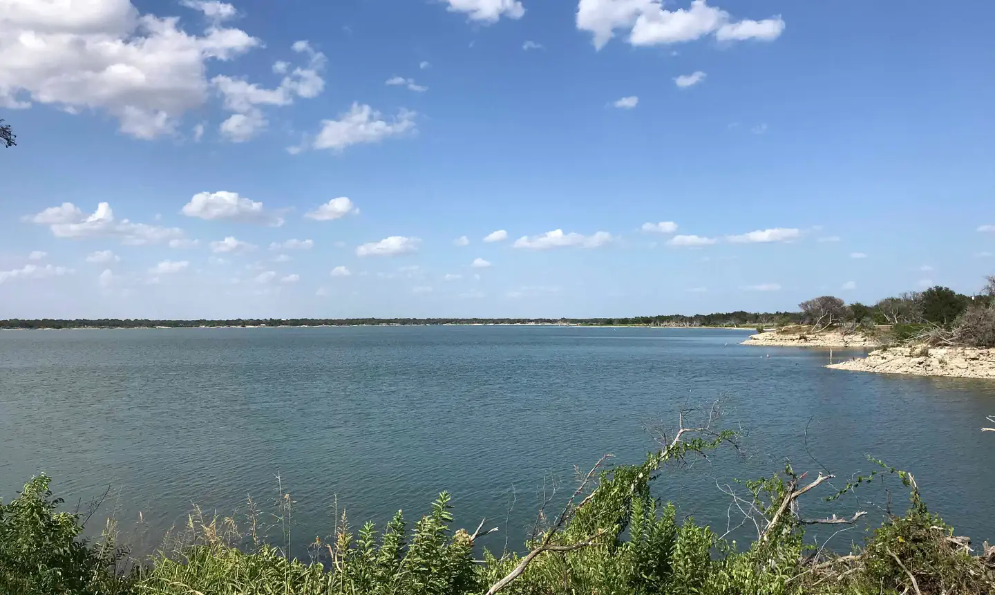
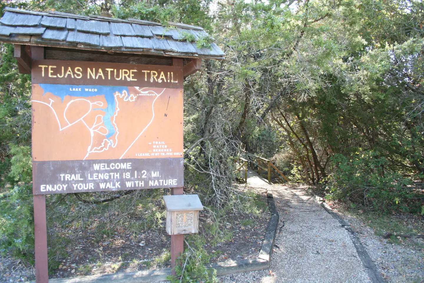
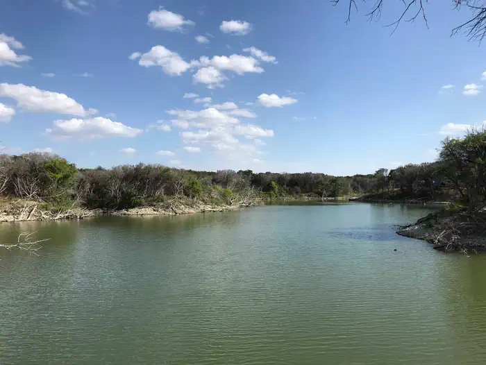
Overview Reynolds Creek sits on the scenic shores of Waco Lake and provides a variety of outdoor activities, including equestrian camping.Recreation The Tejas Nature Trail, an easy 1.2-mile hike, starts at the park and winds its way through a thick blanket of ash and juniper trees. For visitors looking for a more chall…
Overview Reynolds Creek sits on the scenic shores of Waco Lake and provides a variety of outdoor activities, including equestrian camping.Recreation The Tejas Nature Trail, an easy 1.2-mile hike, starts at the park and winds its way through a thick blanket of ash and juniper trees. For visitors looking for a more challenging trek, horseback riding and biking can be done on the 20-mile Lacy Point Hiking and Biking Trail.The main lake shoreline has a large amount of submerged timber, which typically holds fish year-round. Anglers will find plenty of catfish, crappie, and largemouth bass as well as sunfish.A boat ramp and dock help visitors enjoy the lake. Facilities Reynolds Creek offers 51 spacious campsites, including 10 equestrian sites. Day-use picnic sites are available on a first come, first serve basis. Equestrian camping is available year-round and regular camping is available from April 1-September 30. Natural Features Waco Lake, which lies in the city limits of Waco, Texas, is fed primarily by the Bosque River, which runs for 115 miles through central Texas. The sparkling lake was formed in 1963 with the completion of the Lake Waco Dam. Now, the lake's current water levels are at 79,000 acre feet. Contact Info For local information, please call (254) 756-5359 or call (877) 444-6777 for general information. Nearby Attractions Waco Lake Wetlands educational tours take visitors through a six-acre nursery of aquatic plants and more than 130 species of birds.
Photos
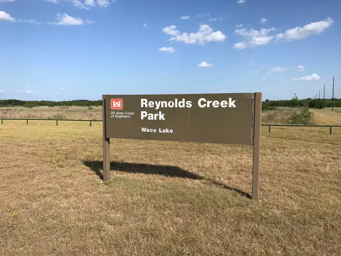
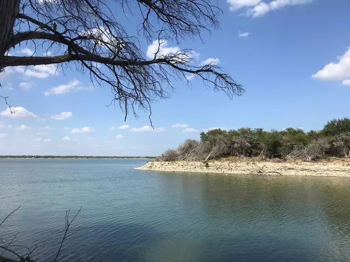
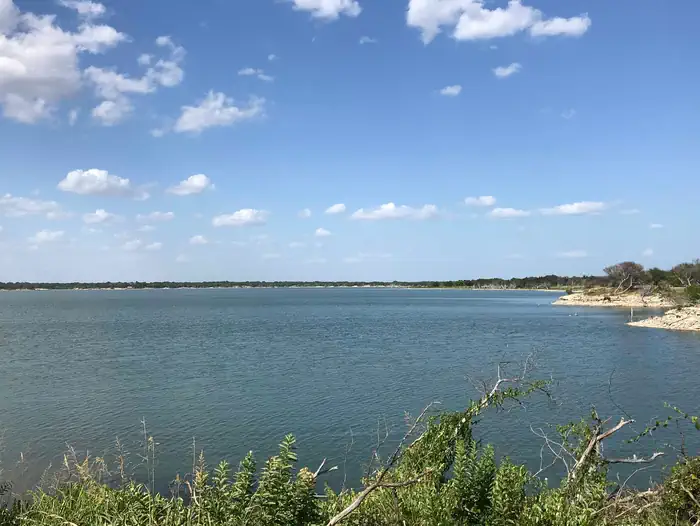
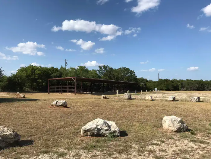
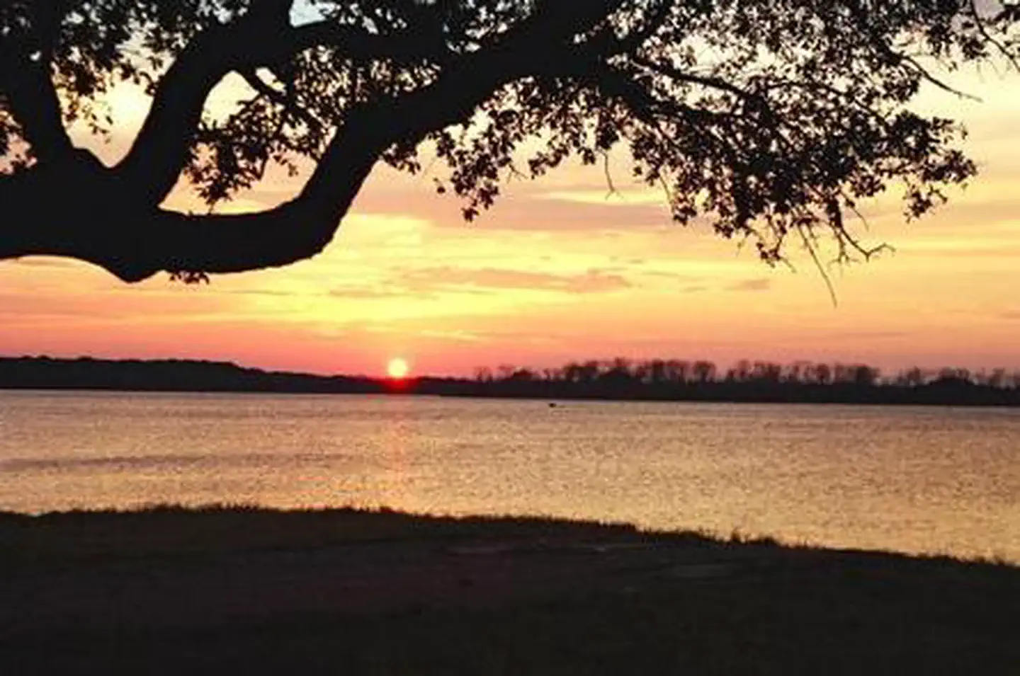
Reynolds Creek Park Main Entrance Sign. — USACE Waco LakeTejas trail entrance — USACEView of Cove at Waco Lake at Reynolds Creek park — USACE Waco LakeView of Waco Lake at Reynolds Creek Park. — USACE Waco LakeView of Waco Lake at Reynolds Creek park — USACE Waco LakeEquestrian camping area — USACE Waco LakeSunset at Reynolds Creek Park — USACE
How to Get There
From I-35, take exit 330B Hwy 6 N toward Meridian for about 7 miles. After passing over the Lake on the Twin Bridges, take the Speegleville Road exit (second exit after the bridges). Turn right on Speegleville Road. After 1 mile you will reach a 4-way stop. Continue straight on Speegleville Road for about 2 miles and park entrance will be on the right.
Download your route in advance via Gaia, Caltopo, or OSM-based apps.
Recommendations adapt to the current forecast + trail stats. Use them as a starting point — local conditions, your experience, and the time of day you start all matter.
Plan Your Visit to REYNOLDS CREEK
Heading to REYNOLDS CREEK? A few things to know before you go:
Reservations: popular sites fill up fast — check Recreation.gov 6 months in advance
Fees: day-use and camping fees vary; check current rates on the official park page
Trash & pack-out: follow Leave No Trace principles
Wildlife: store food in bear boxes where provided; never feed wildlife
Weather: the 5-day forecast above is updated every 6 hours; verify just before you go
Frequently Asked Questions
Do I need a reservation for REYNOLDS CREEK?
No central reservation system listed for REYNOLDS CREEK. Check the official page (https://www.recreation.gov/camping/campgrounds/232709) for the latest entry policy and availability.
How many campsites are at REYNOLDS CREEK?
REYNOLDS CREEK has 51 campsites. Site amenities (hookups, vehicle limits, ADA access) vary — see the individual campsite pages for details.
How do I get to REYNOLDS CREEK?
From I-35, take exit 330B Hwy 6 N toward Meridian for about 7 miles. After passing over the Lake on the Twin Bridges, take the Speegleville Road exit (second exit after the bridges). Turn right on Speegleville Road. After 1 mile you will reach a 4-way stop. Continue straight on Speegleville Road for about 2 miles and park entrance will be on the right.