Overview Allred Flats Group Picnic Site is located below Salt River Pass in the lush forests of western Wyoming. Visitors enjoy exploring local trails on foot, horseback or by off-road vehicle, where allowed.Recreation Numerous hiking, mountain biking and horseback riding trails are in the area, ranging from easy 1/2-m…
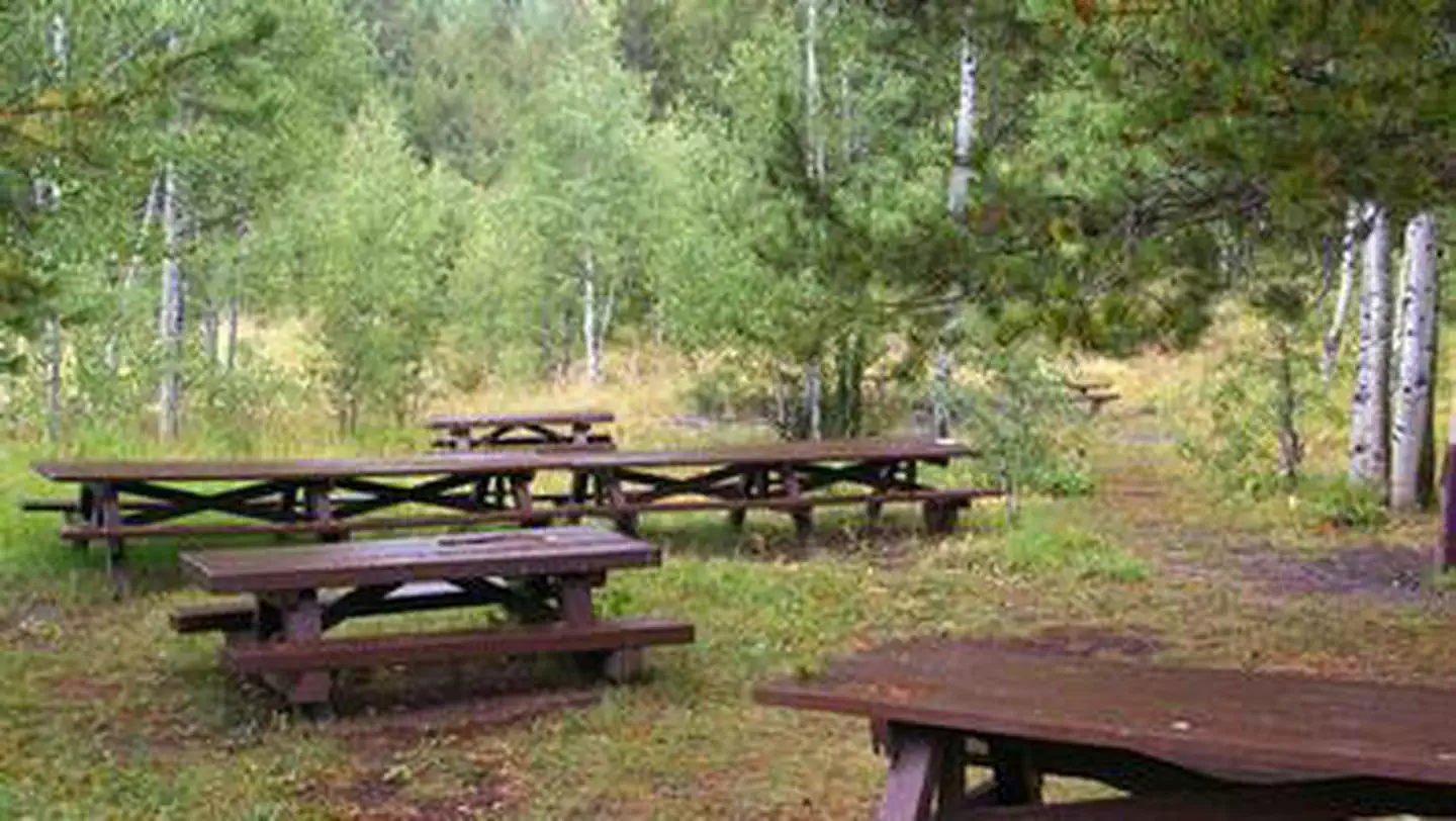
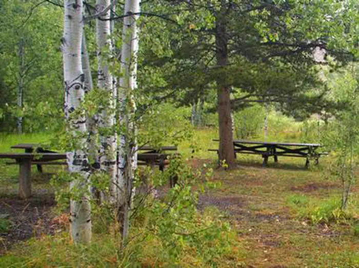
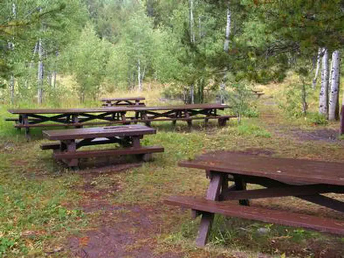
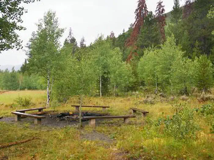
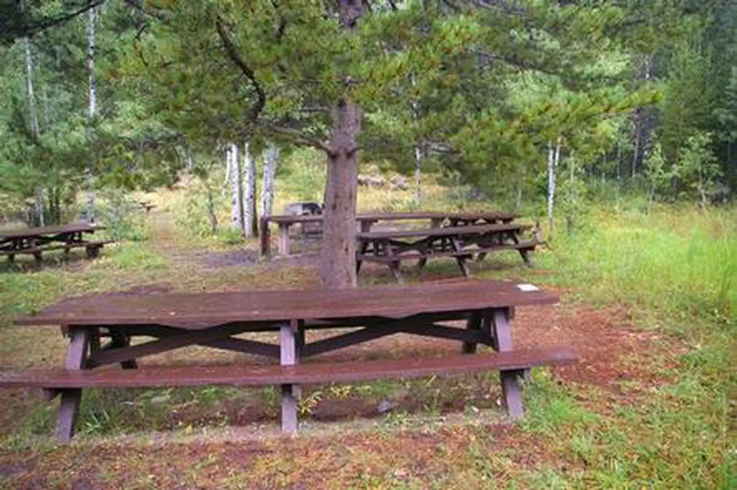
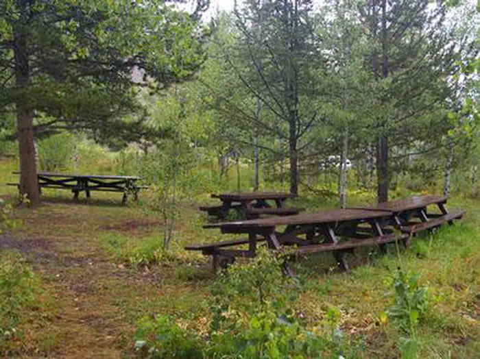
Overview Allred Flats Group Picnic Site is located below Salt River Pass in the lush forests of western Wyoming. Visitors enjoy exploring local trails on foot, horseback or by off-road vehicle, where allowed.Recreation Numerous hiking, mountain biking and horseback riding trails are in the area, ranging from easy 1/2-mile paths to challenging 14-mile trails in the backcountry. Free trail maps can be found at the District Office.Facilities This group picnic site, located only 1/2-mile off the main highway, can accommodate up to 50 guests and 10 vehicles. Vault toilets and drinking water are provided. The site offers several large picnic tables, a fire ring with benches and a grill. Roads and parking spurs within the site are gravel.Natural Features Little White Creek runs alongside the Allred Flats at an elevation of 6,500 feet, where pines and aspens offer partial shade. Summer wildflowers are abundant and fall colors are breathtaking in the area. The Bridger-Teton National Forest offers more than 3.4 million acres of public land for outdoor recreation. With its pristine watersheds, abundant wildlife and immense wildlands, the forest comprises a large part of the Greater Yellowstone Ecosystem, the largest intact ecosystem in the lower 48 United States. Nearby Attractions Salt River Pass offers miles of scenic driving with access onto Smiths Fork Road (#10072), and expansive views of the Wyoming and Salt River Ranges. Fishing Salt Creek just across the highway is popular.
Photos
site — siteALLRED FLATS GROUP PICNIC SITE — siteALLRED FLATS GROUP PICNIC SITE1 — siteALLRED FLATS GROUP PICNIC SITE2 — siteALLRED FLATS GROUP PICNIC SITE5 — siteALLRED FLATS GROUP PICNIC SITE3 — siteALLRED FLATS GROUP PICNIC SITE4 — site
How to Get There
From Afton, Wyoming, take Highway 89 south for approximately 21 miles over Salt Pass and look for a brown sign signaling the right-hand turn for Allred Flats Campground. The picnic area is on the left, just before the campground entrance kiosk.
Download your route in advance via Gaia, Caltopo, or OSM-based apps.
Recommendations adapt to the current forecast + trail stats. Use them as a starting point — local conditions, your experience, and the time of day you start all matter.
Plan Your Visit to ALLRED FLATS GROUP PICNIC SITE
Heading to ALLRED FLATS GROUP PICNIC SITE? A few things to know before you go:
Reservations: popular sites fill up fast — check Recreation.gov 6 months in advance
Fees: day-use and camping fees vary; check current rates on the official park page
Trash & pack-out: follow Leave No Trace principles
Wildlife: store food in bear boxes where provided; never feed wildlife
Weather: the 5-day forecast above is updated every 6 hours; verify just before you go
Frequently Asked Questions
Do I need a reservation for ALLRED FLATS GROUP PICNIC SITE?
No central reservation system listed for ALLRED FLATS GROUP PICNIC SITE. Check the official page (https://www.recreation.gov/camping/campgrounds/234517) for the latest entry policy and availability.
How many campsites are at ALLRED FLATS GROUP PICNIC SITE?
ALLRED FLATS GROUP PICNIC SITE has 2 campsites. Site amenities (hookups, vehicle limits, ADA access) vary — see the individual campsite pages for details.
How do I get to ALLRED FLATS GROUP PICNIC SITE?
From Afton, Wyoming, take Highway 89 south for approximately 21 miles over Salt Pass and look for a brown sign signaling the right-hand turn for Allred Flats Campground. The picnic area is on the left, just before the campground entrance kiosk.