Overview Campbell Creek Campground sits at an elevation of 7,920 feet in a remote area at the western end of the Laramie Mountains on the Douglas Ranger District. There are 6 sites under mature pine trees with picnic tables, fire rings, pedestal grills, a vault toilet, pump water well, and trash bins. This is possibly …
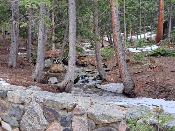
Overview Campbell Creek Campground sits at an elevation of 7,920 feet in a remote area at the western end of the Laramie Mountains on the Douglas Ranger District. There are 6 sites under mature pine trees with picnic tables, fire rings, pedestal grills, a vault toilet, pump water well, and trash bins. This is possibly the most peaceful and popular campground on the Douglas Ranger District. Recreation Recreation The Laramie Peak area in the Medicine Bow National Forest is located in Central Wyoming. The Douglas Ranger District manages the Laramie Peak and Thunder basin National Grasslands areas. Year-round recreation uses include hiking, fishing, hunting, OHV riding, camping, biking and horseback trail riding. Primary access across the district is by I-25 and Highway 59. Mountain Biking • Twin Peaks Trail • Upper Deer Creek Trail • Elkhorn Day Hiking • Twin Peaks Trail • Upper Deer Creek Trail • Elkhorn Backpacking • Twin Peaks Trail • Upper Deer Creek Trail Horseback riding • Twin Peaks Trail • Upper Deer Creek Trail • Elkhorn OHV Riding • Twin Peaks Trail • Lower Deer Creek • Elkhorn Facilities There are 5 single campsites and 1 double campsite in a lightly wooded, area with picnic tables, fire rings, pedestal grills, vault toilets, trash collection, and potable water. Most campsites have a dispersed feel as they are widely spaced apart. Potable water is typically available in this campground from mid-May to late November. These dates may vary due to weather. Potable water availability may vary due to well and/or pump maintenance, and water testing requirements. As such, we encourage you to bring your own potable water or call ahead. Natural Features Campbell Creek Campground sits at an elevation of 7,920 feet in a remote area at the western end of the Laramie Mountains on the Douglas Ranger District. Visitors can enjoy listening to the gurgling of Campbell Creek which runs through the middle of the campground while staying cool under the thick forest canopy. The r
Photos
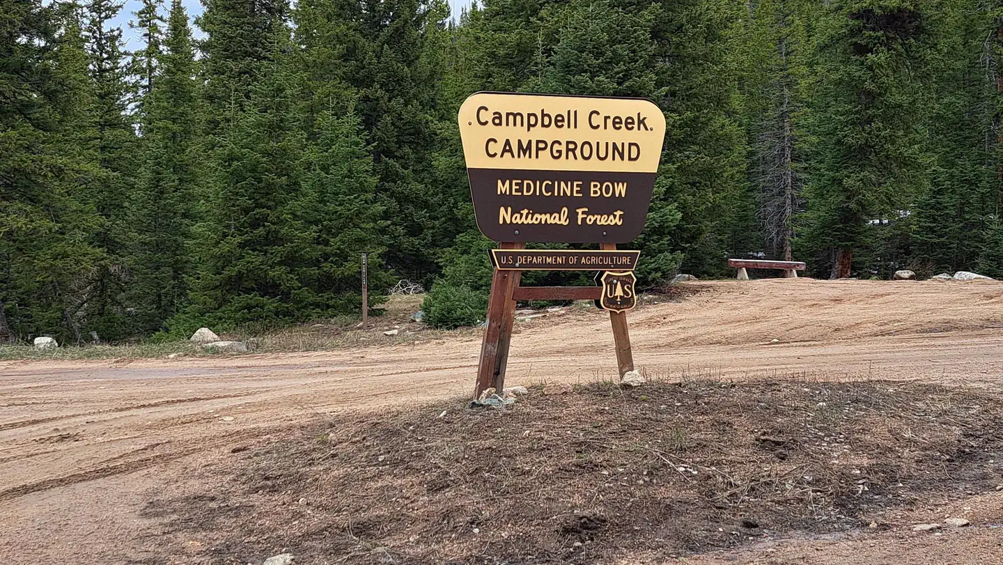
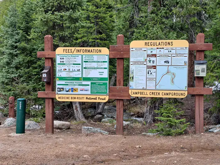
Campbell Creek Hand new kiosk panels — MBRRTBCampbell Creek — MBRTB
How to Get There
From Douglas, follow Highway 94 (Esterbrook Road) under the I-25 Overpass and turn right on HWY 91/96. HWY 91 turns left in 3 miles and follow the road for 22 miles and continue on Converse County Route 24 (Cold Springs Road). Continue south and southwest on CR 24 (Cold Springs Road) for about 14 miles to the campground. Follow HWY 30 (N) from Laramie to Medicine Bow. Take HWY 487 North to Albany County Route 62. Albany County Route 62 continues as Converse County Route 24
Download your route in advance via Gaia, Caltopo, or OSM-based apps.
Recommendations adapt to the current forecast + trail stats. Use them as a starting point — local conditions, your experience, and the time of day you start all matter.
Plan Your Visit to Campbell Creek Campground
Heading to Campbell Creek Campground? A few things to know before you go:
Reservations: popular sites fill up fast — check Recreation.gov 6 months in advance
Fees: day-use and camping fees vary; check current rates on the official park page
Trash & pack-out: follow Leave No Trace principles
Wildlife: store food in bear boxes where provided; never feed wildlife
Weather: the 5-day forecast above is updated every 6 hours; verify just before you go
Frequently Asked Questions
Do I need a reservation for Campbell Creek Campground?
No central reservation system listed for Campbell Creek Campground. Check the official page (https://www.recreation.gov/camping/campgrounds/10299335) for the latest entry policy and availability.
How many campsites are at Campbell Creek Campground?
Campbell Creek Campground has 6 campsites. Site amenities (hookups, vehicle limits, ADA access) vary — see the individual campsite pages for details.
How do I get to Campbell Creek Campground?
From Douglas, follow Highway 94 (Esterbrook Road) under the I-25 Overpass and turn right on HWY 91/96. HWY 91 turns left in 3 miles and follow the road for 22 miles and continue on Converse County Route 24 (Cold Springs Road). Continue south and southwest on CR 24 (Cold Springs Road) for about 14 miles to the campground. Follow HWY 30 (N) from Laramie to Medicine Bow. Take HWY 487 North to Albany …
How do I contact Campbell Creek Campground?
You can reach the park at phone: 307-358-4690 or email: N/A.