Granite Falls, Washington · Snohomish County · Campground
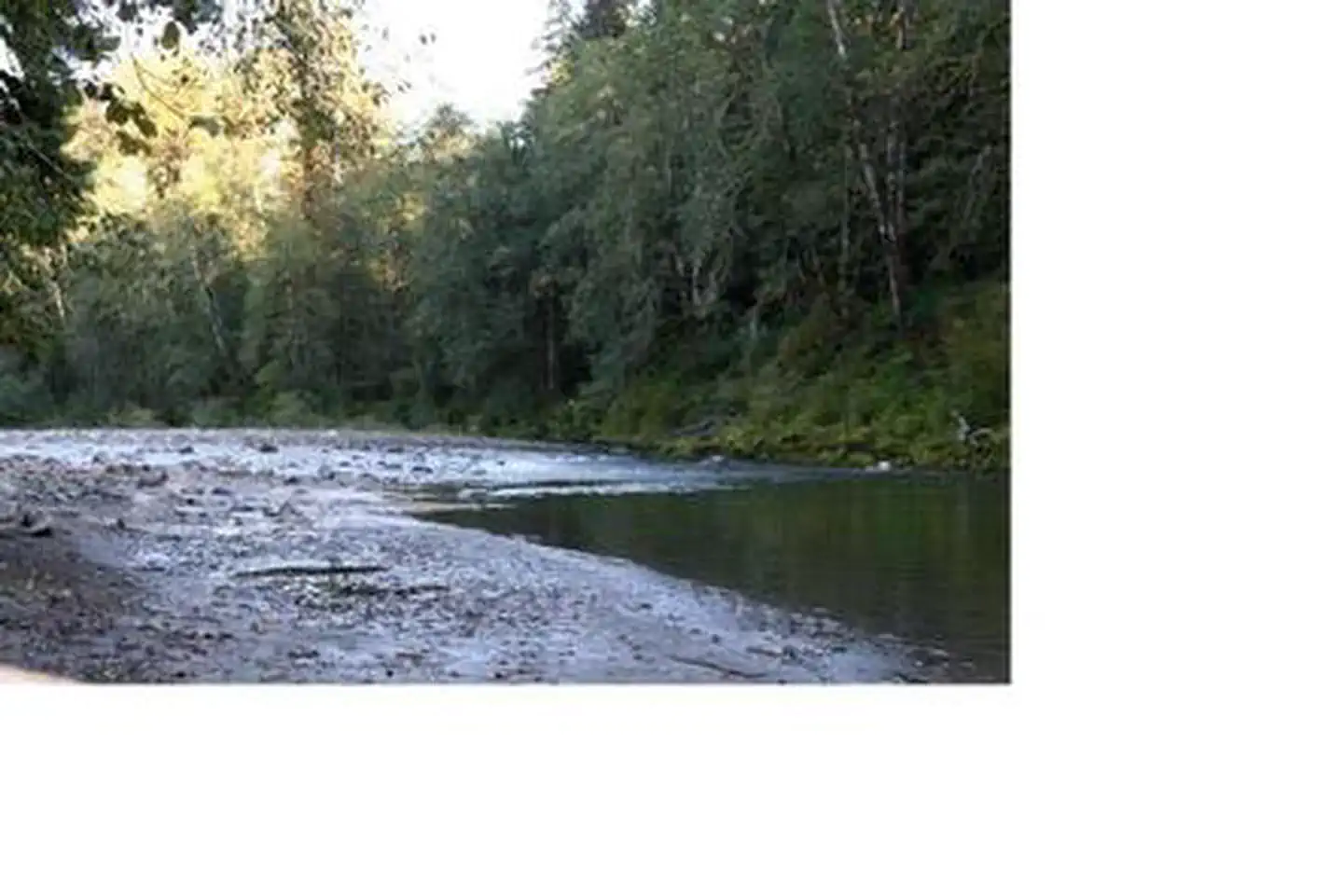
Overview Turlo Campground is located just off the Mountain Loop Highway in the Mt.Baker-Snoqualmie National Forest. The campground is nestled in tall firs, cedars and hemlocks, adjacent to the south fork of the Stillaguamish River. The location offers individuals and families a tranquil camping experience with plenty o…
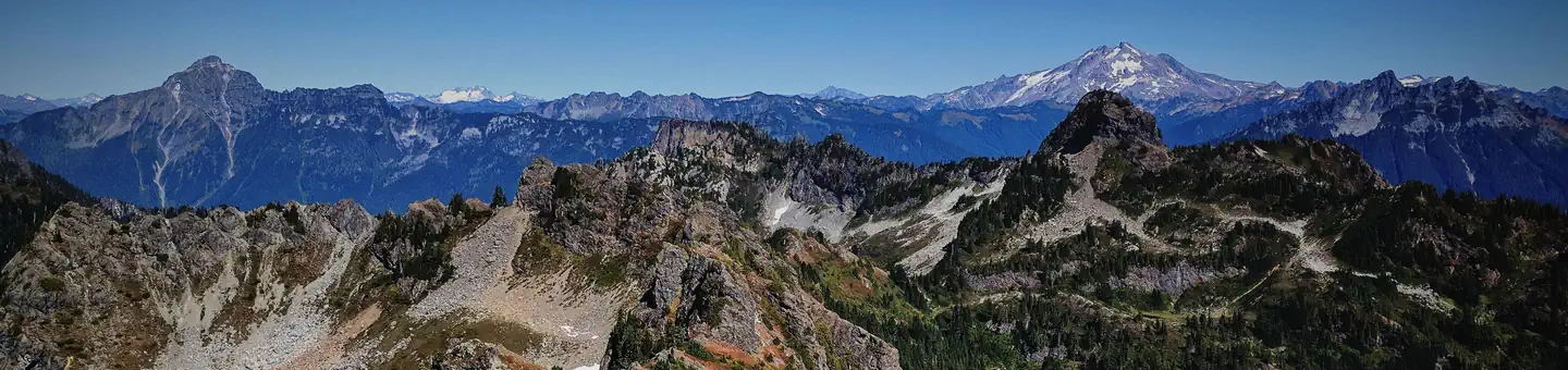
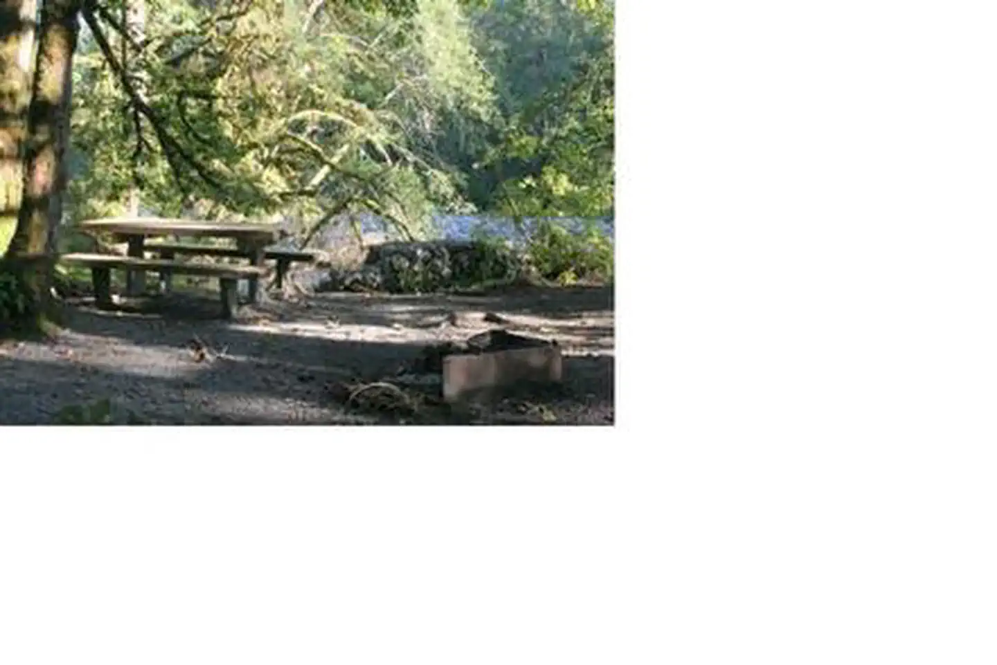
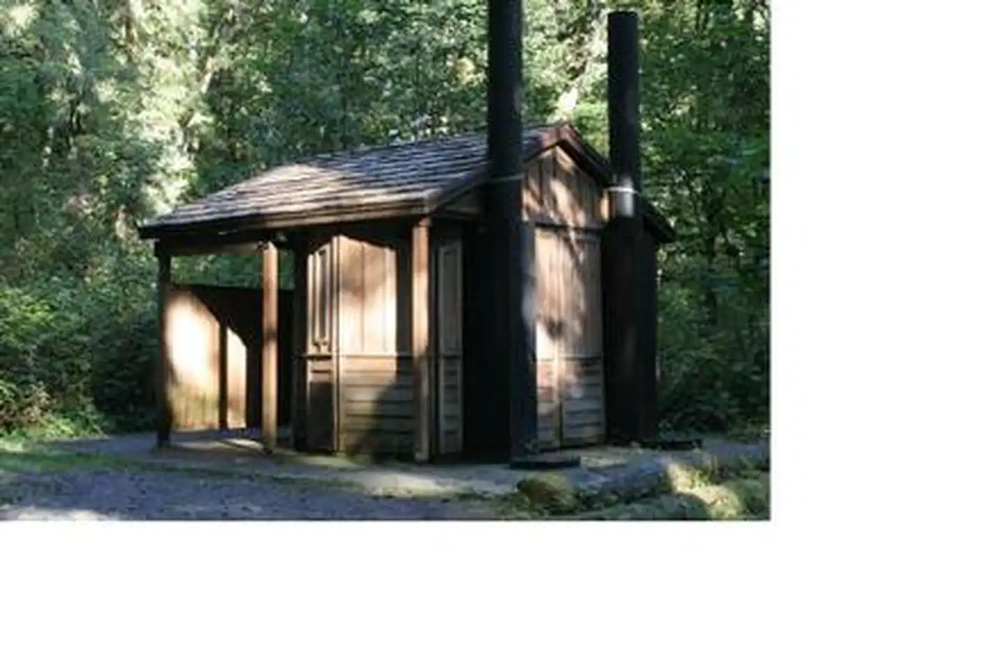
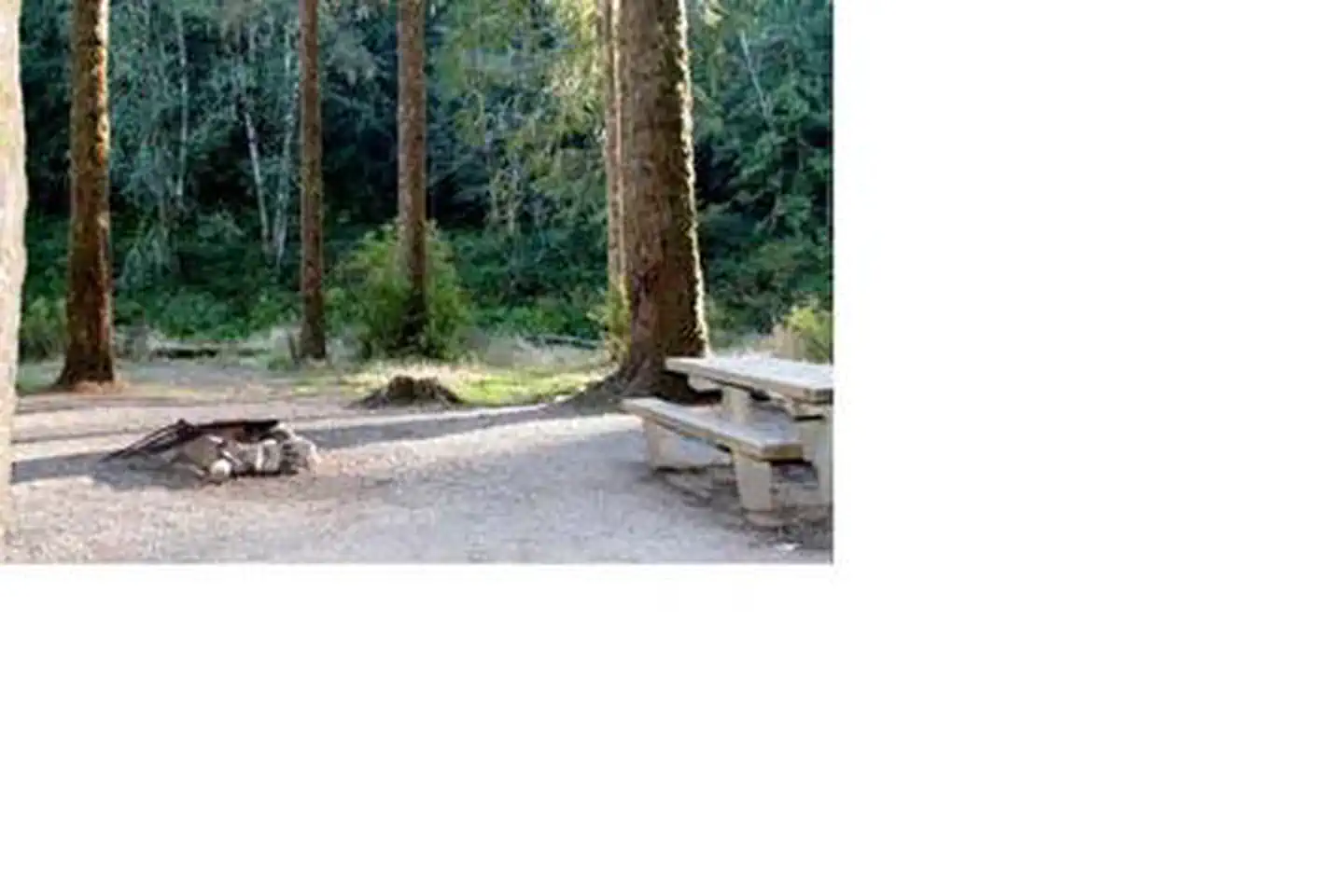
Overview Turlo Campground is located just off the Mountain Loop Highway in the Mt.Baker-Snoqualmie National Forest. The campground is nestled in tall firs, cedars and hemlocks, adjacent to the south fork of the Stillaguamish River. The location offers individuals and families a tranquil camping experience with plenty of opportunities to fish, enjoy the river or relax at their campsite.Recreation The Mt. Baker-Snoqualmie National Forest has 1,500 miles of trails, ranging from smooth paths through deep, quiet forests to challenging ascents up boulder-studded mountains. Hiking opportunities abound for every skill level. The Mt. Dickerman Trail, close to the campground, switchbacks steeply for 3 miles through a dark forest to an alpine meadow, which was replanted in 1915 after a major forest fire. From this point, the trail rises above the timberline to an alpine meadow alive with masses of wildflowers in July and August. The trail is generally in good condition, and spectacular views can be seen from all directions as the trail climbs to the 5,723 foot summit.Facilities Turlo Campground offers standard sites, accommodating both tent and RV camping. Picnic tables, and drinking water are also available, however there are no electrical hook-ups. Access to the Stillaguamish River is available from the campground.Natural Features Situated on the west side of the Cascades between the Canadian border and Mt. Rainier National Park, Mt. Baker-Snoqualmie National Forest is one of the most spectacular in the the country, showcasing glacier-covered peaks, wide mountain meadows and old-growth forests, rich in history and outdoor opportunities. On a clear day, visitors will see Mt. Baker, the most prominent feature of the Mt. Baker Wilderness Area. Rising to an elevation of 10,781 feet, the active volcano from which the forest takes its name, is perpetually snow-capped and mantled with an extensive network of creeping glaciers. Mt. Baker's summit, Grant Peak, is actually a 1,300-foo
From Seattle, Washington: Go north on I-5 to Everett. Take exit 194 onto Hwy 2. Head north at Hwy 204, toward Lake Stevens. Turn north on Hwy 9, then east on Hwy 92 to Granite Falls.
Download your route in advance via Gaia, Caltopo, or OSM-based apps.
Recommendations adapt to the current forecast + trail stats. Use them as a starting point — local conditions, your experience, and the time of day you start all matter.
Plan Your Visit to Turlo Campground
Heading to Turlo Campground? A few things to know before you go:
Reservations: popular sites fill up fast — check Recreation.gov 6 months in advance
Fees: day-use and camping fees vary; check current rates on the official park page
Trash & pack-out: follow Leave No Trace principles
Wildlife: store food in bear boxes where provided; never feed wildlife
Weather: the 5-day forecast above is updated every 6 hours; verify just before you go
Frequently Asked Questions
Do I need a reservation for Turlo Campground?
No central reservation system listed for Turlo Campground. Check the official page (https://www.recreation.gov/camping/campgrounds/232118) for the latest entry policy and availability.
How do I get to Turlo Campground?
From Seattle, Washington: Go north on I-5 to Everett. Take exit 194 onto Hwy 2. Head north at Hwy 204, toward Lake Stevens. Turn north on Hwy 9, then east on Hwy 92 to Granite Falls.