Baring, Washington · Snohomish County · Campground
Overview Perched atop its namesake mountain at an elevation of 5,587 feet, Evergreen Mountain Lookout was built in 1935 for detecting wildfires. During fire season, lookouts stayed in the cabin, watching for lightning strikes and forest fires in the Skykomish drainage. Once the lookout located a fire or smoke, he or sh…
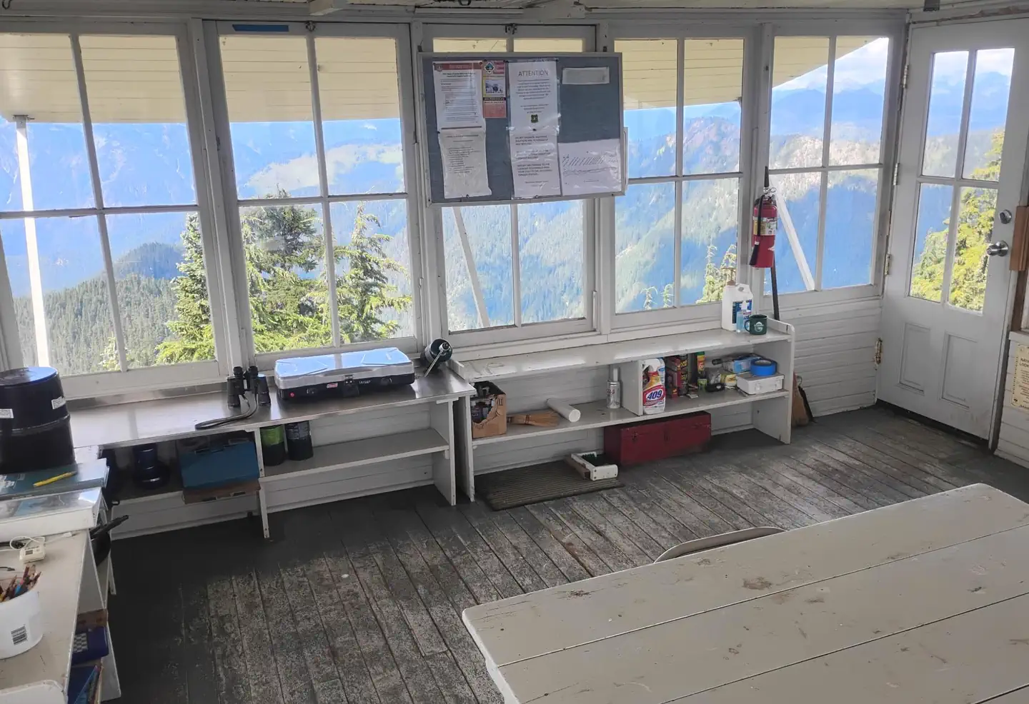
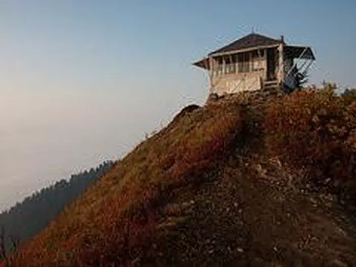
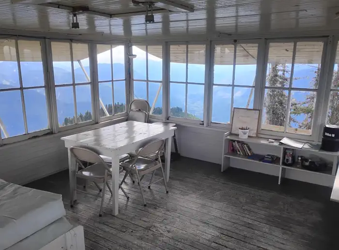
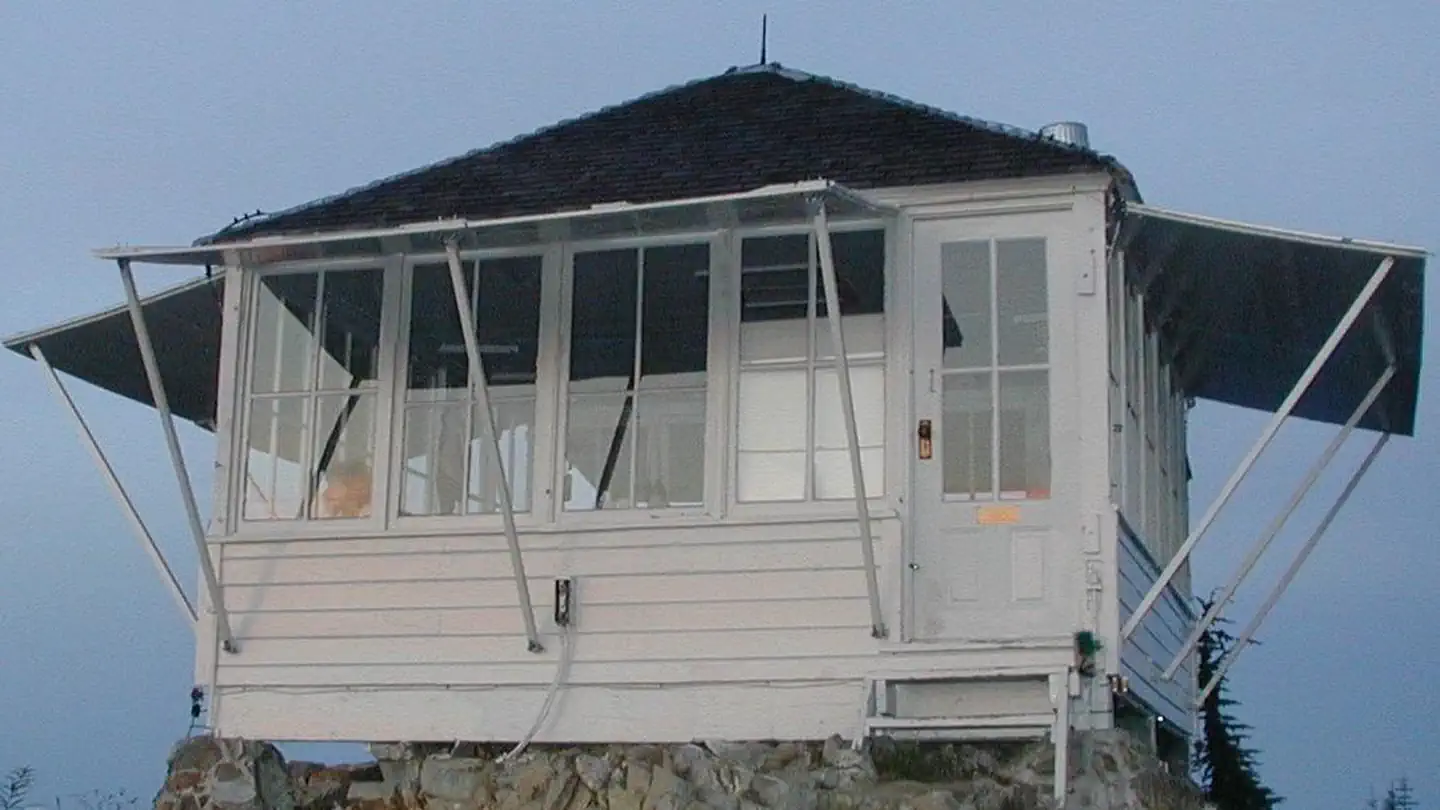
Overview Perched atop its namesake mountain at an elevation of 5,587 feet, Evergreen Mountain Lookout was built in 1935 for detecting wildfires. During fire season, lookouts stayed in the cabin, watching for lightning strikes and forest fires in the Skykomish drainage. Once the lookout located a fire or smoke, he or she would radio to the Skykomish Ranger Station and give local landmarks to help firefighters locate the fire quickly. During World War II, Evergreen Mountain Lookout was used as an Aircraft Warning Station, and then remained an active fire tower until the early 1980s. During volunteer restoration efforts in the 1990s, the lookout was placed on the National Register of Historic Places. The lookout tower is located in the Wild Sky Wilderness and must be accessed via a steep, scenic hike on the Evergreen Lookout Trail . Some amenities are provided, but guests should be prepared to pack in many of their own supplies.Recreation Hiking, birding and wildlife viewing are popular activities around the lookout. Guests access the lookout via the Evergreen Lookout Trail that climbs steeply through the old Evergreen Mountain Burn of 1967. Hikers enter dense forest, where the grade eases a bit upon reaching a small saddle below the lookout. At this point, the trail ascends again to reach the building. The trail is noted for wildflowers, scenery and wildlife.Facilities The 14x14-ft. lookout cabin sleeps four and is furnished with one twin-sized bed and mattress, three extra mattresses, a table and chairs, propane stove, two battery powered lanterns, a cooking pot, dishes and a coffee pot. A primitive vault toilet is located several hundred feet down the ridge from the lookout. There is no water or heat at the site. Guests must bring water for drinking, cooking and washing. Guests must also bring flashlights, sleeping bags, towels, dish soap, matches, a first aid kit, toilet paper and garbage bags. All trash and food must be packed out, and guests are expected to clean
Photos
lookout cabin Evergreen in fall — USFSInterior and view Evergreen Lookout — USFSlookout cabin Evergreen — USFSnorth view from m Evergreen — USFSlookout cabin Evergreen — USFS
How to Get There
From State Route 2, turn north onto Beckler River Road (Forest Road #65), which is 0.5 miles east of the town of Skykomish. Continue on Forest Road #65 for 13 miles to Jack Pass. At Jack Pass, turn right onto FSR #6550 and drive about 1 mile to FSR #6554. Drive FSR #6554 6.5 miles to the trailhead. It is another 1.5 mile hike to the lookout.
Download your route in advance via Gaia, Caltopo, or OSM-based apps.
Recommendations adapt to the current forecast + trail stats. Use them as a starting point — local conditions, your experience, and the time of day you start all matter.
Plan Your Visit to EVERGREEN MOUNTAIN LOOKOUT
Heading to EVERGREEN MOUNTAIN LOOKOUT? A few things to know before you go:
Reservations: popular sites fill up fast — check Recreation.gov 6 months in advance
Fees: day-use and camping fees vary; check current rates on the official park page
Trash & pack-out: follow Leave No Trace principles
Wildlife: store food in bear boxes where provided; never feed wildlife
Weather: the 5-day forecast above is updated every 6 hours; verify just before you go
Frequently Asked Questions
Do I need a reservation for EVERGREEN MOUNTAIN LOOKOUT?
No central reservation system listed for EVERGREEN MOUNTAIN LOOKOUT. Check the official page (https://www.recreation.gov/camping/campgrounds/234178) for the latest entry policy and availability.
How do I get to EVERGREEN MOUNTAIN LOOKOUT?
From State Route 2, turn north onto Beckler River Road (Forest Road #65), which is 0.5 miles east of the town of Skykomish. Continue on Forest Road #65 for 13 miles to Jack Pass. At Jack Pass, turn right onto FSR #6550 and drive about 1 mile to FSR #6554. Drive FSR #6554 6.5 miles to the trailhead. It is another 1.5 mile hike to the lookout.