Darrington, Washington · Snohomish County · Campground
Overview Coal Creek Group Campground sits along the scenic Mountain Loop Road in the Mt. Baker-Snoqualmie National Forest. Surrounded by stands of old-growth forest and located near the confluence the of the tranquil Stillaguamish River and bubbling Coal Creek, this site is ideal for small group or family camping excur…
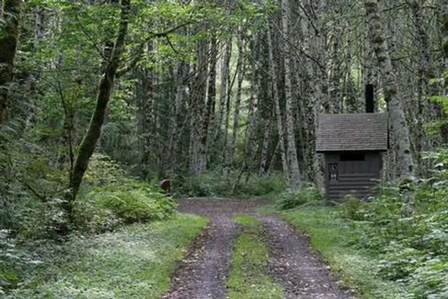
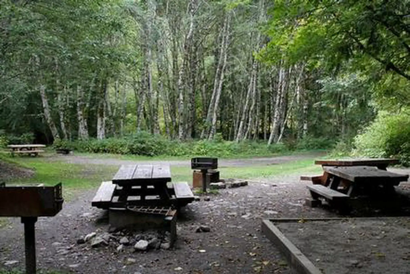
Overview Coal Creek Group Campground sits along the scenic Mountain Loop Road in the Mt. Baker-Snoqualmie National Forest. Surrounded by stands of old-growth forest and located near the confluence the of the tranquil Stillaguamish River and bubbling Coal Creek, this site is ideal for small group or family camping excursions.Recreation Coal Creek is a prime location for hiking, fishing, picnicking and horseback riding in summer and early fall, and offers excellent skiing and snowshoeing in the winter months. Hikers may want to explore the nearby Big Four Ice Caves Trail off of the Mountain Loop Highway. The trail ends with a view of the ice fields and the immense north face of the 6,153 foot Big Four Mountain. The caves are exposed during August and remain visible through October. The nearby Gold Basin Mill Pond interpretive trail is also accessible from the campground. This interpretive site includes a short, barrier-free trail that passes by mill relics and ends on a floating viewpoint looking across the old millpond. Interpretive signs discuss the history of the mill and the wildlife in the area. The trail is located directly across from the Gold Basin Campground.Facilities The campground offers one large group campsite, making it a perfect setting for families or groups wanting privacy. The site can accommodate about 25 guests and is ideal for tent mixed with RVs. The site is equipped with tables, tent pads, campfire rings with grills and vault toilets.Natural Features Located in the majestic Cascade region of Washington, the Mt. Baker-Snoqualmie National Forest showcases rugged peaks, scenic rivers and lush forests. The banks of the Stillaguamish River are lined with old-growth forests of cedar, fir and hemlock. On a clear day visitors can spot Mt. Baker, the most prominent feature of the Mt. Baker Wilderness Area. Rising to an elevation of 10,781 feet, this active volcano is perpetually snow-capped and mantled with an extensive network of creeping glaciers. Mt.
Photos
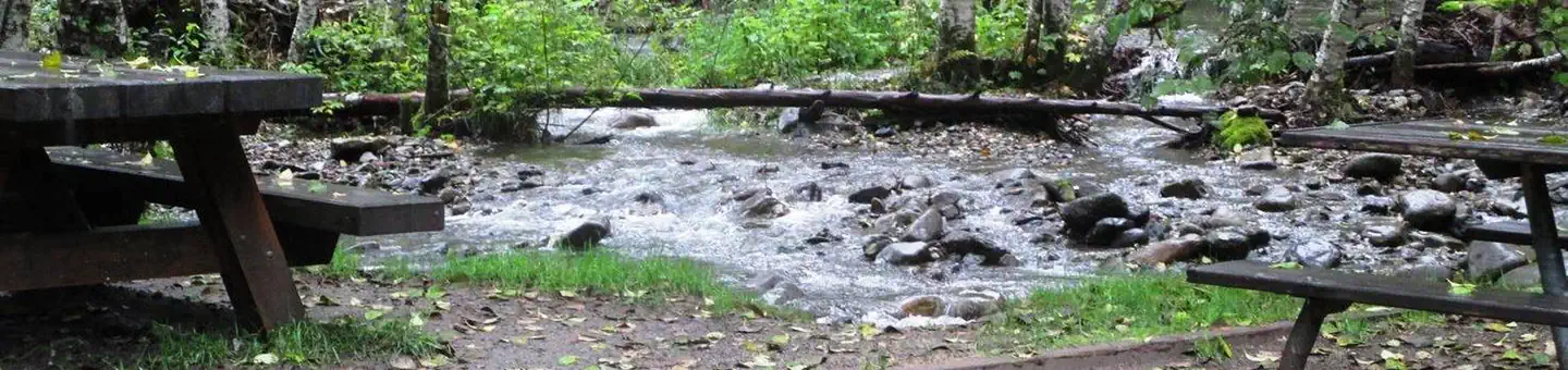
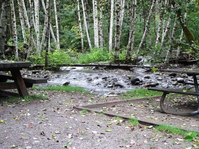
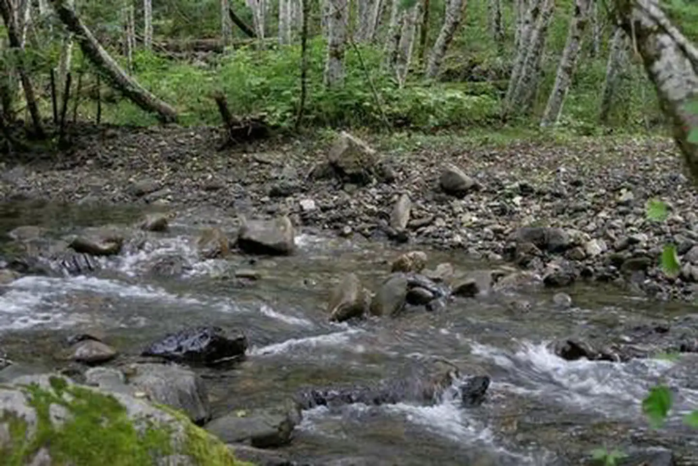
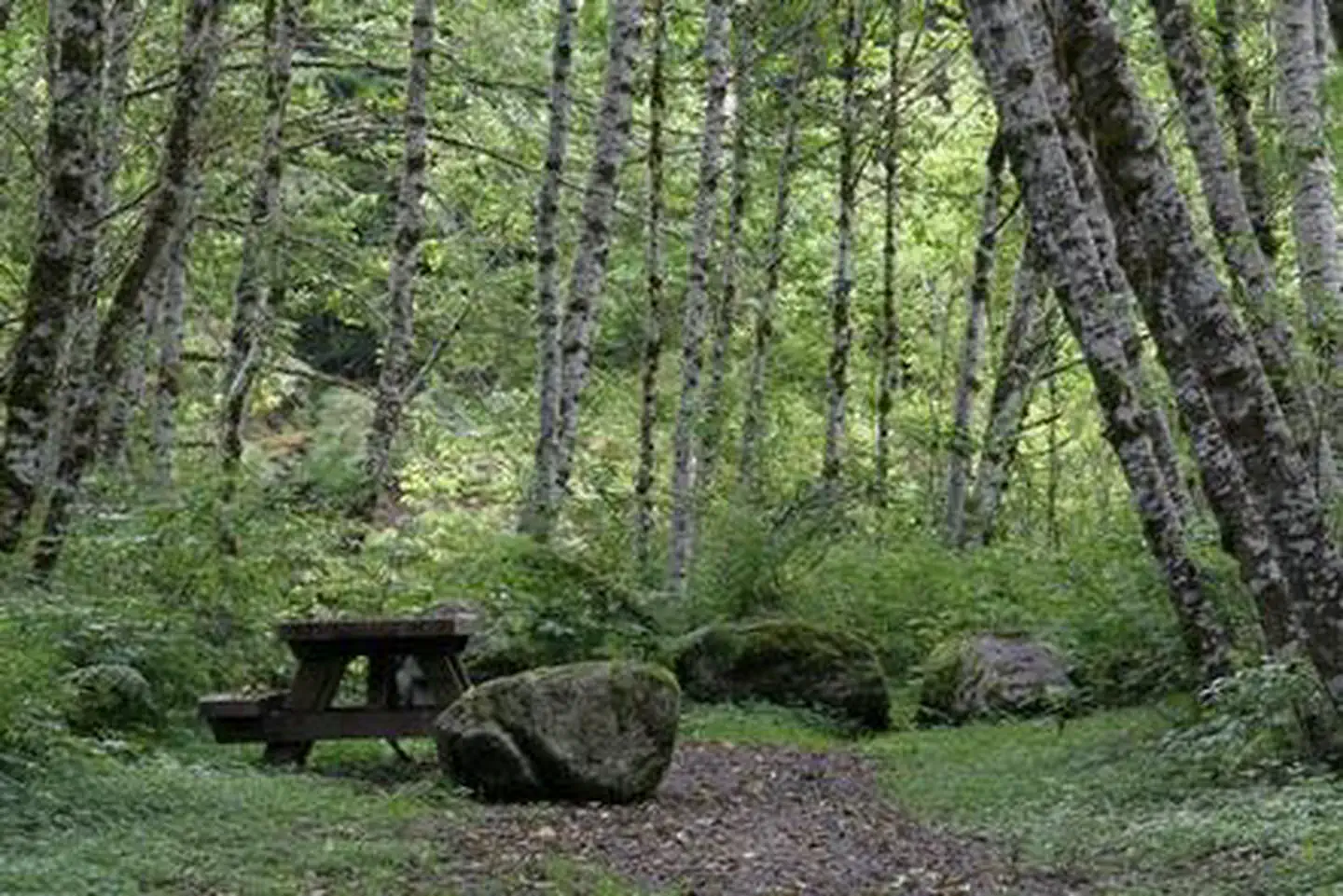
Coal Creek Group Campground — CLM StaffCoal Creek Group CampCoal Creek Group CampCoal Creek Group CampCoal Creek Group CampCoal Creek Group CampCoal Creek Group Camp
How to Get There
From Seattle, Washington, go north on I-5 to Everett. Take exit 194 onto Highway 2, then head north at Highway 204 towards Lake Stevens. Turn north on Highway 9, then east on Highway 92 to Granite Falls. The campground is located approximately 23.5 miles east of Granite Falls on Highway 7 Scenic Byway.
Download your route in advance via Gaia, Caltopo, or OSM-based apps.
Recommendations adapt to the current forecast + trail stats. Use them as a starting point — local conditions, your experience, and the time of day you start all matter.
Plan Your Visit to Coal Creek Group Camp
Heading to Coal Creek Group Camp? A few things to know before you go:
Reservations: popular sites fill up fast — check Recreation.gov 6 months in advance
Fees: day-use and camping fees vary; check current rates on the official park page
Trash & pack-out: follow Leave No Trace principles
Wildlife: store food in bear boxes where provided; never feed wildlife
Weather: the 5-day forecast above is updated every 6 hours; verify just before you go
Frequently Asked Questions
Do I need a reservation for Coal Creek Group Camp?
No central reservation system listed for Coal Creek Group Camp. Check the official page (https://www.recreation.gov/camping/campgrounds/232374) for the latest entry policy and availability.
How many campsites are at Coal Creek Group Camp?
Coal Creek Group Camp has 1 campsites. Site amenities (hookups, vehicle limits, ADA access) vary — see the individual campsite pages for details.
How do I get to Coal Creek Group Camp?
From Seattle, Washington, go north on I-5 to Everett. Take exit 194 onto Highway 2, then head north at Highway 204 towards Lake Stevens. Turn north on Highway 9, then east on Highway 92 to Granite Falls. The campground is located approximately 23.5 miles east of Granite Falls on Highway 7 Scenic Byway.