Ardenvoir, Washington · Chelan County · Campground
Overview The Tyee Lookout sits at an elevation of 6,654 feet in the Okanogan-Wenatchee National Forest. Built in the 1950’s, the lookout was used by Forest Service personnel until the 1990’s. A stay at Tyee is not for the faint of heart, this is a rough place. Starting with the access road, the lookout is accessible by…
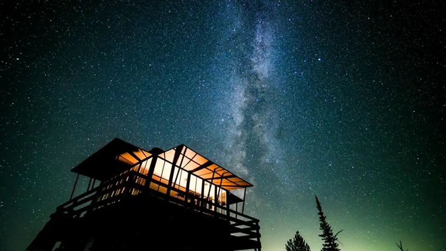
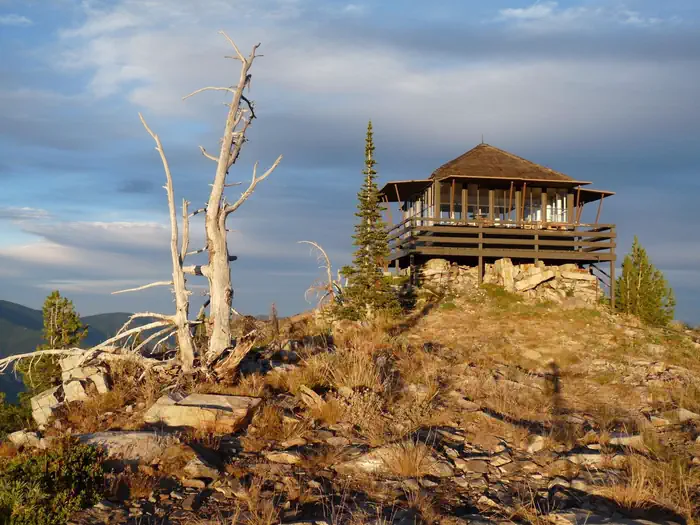
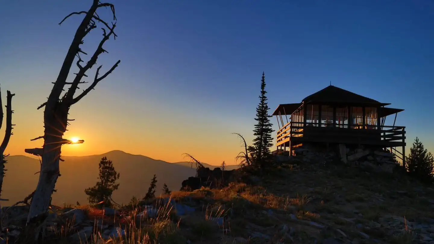
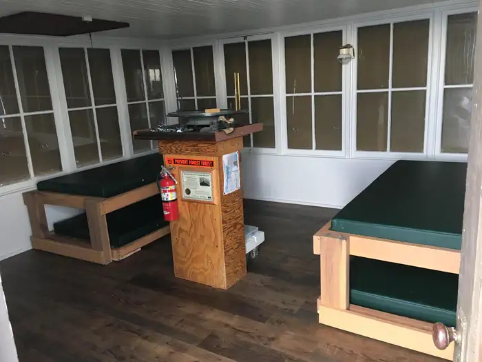
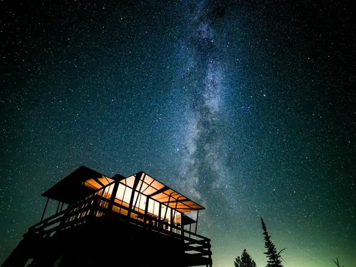
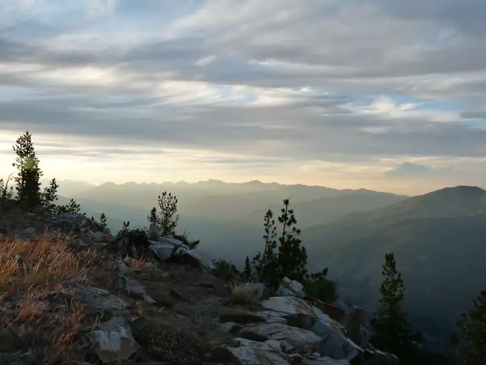
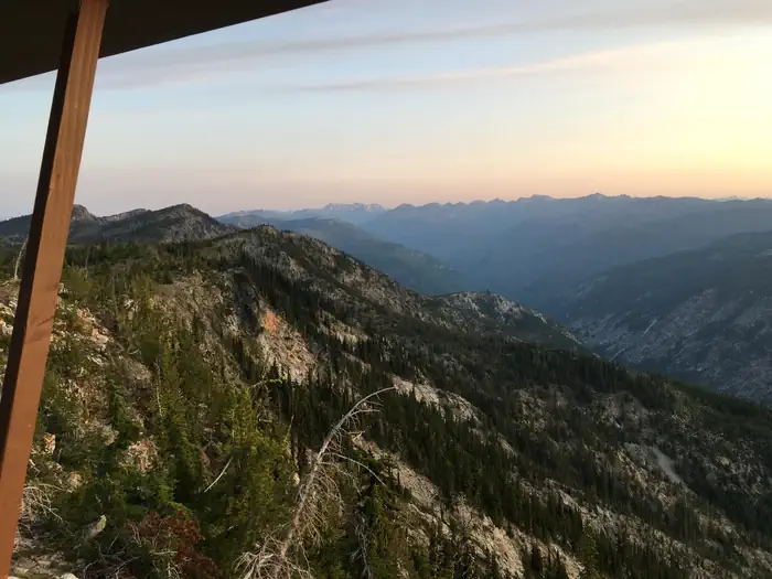
Overview The Tyee Lookout sits at an elevation of 6,654 feet in the Okanogan-Wenatchee National Forest. Built in the 1950’s, the lookout was used by Forest Service personnel until the 1990’s. A stay at Tyee is not for the faint of heart, this is a rough place. Starting with the access road, the lookout is accessible by four-wheel drive truck from mid-June to mid-October. The last 3.6 miles of the road are narrow, steep, sandy and very rocky; including two rock ledges, good tires are a must. Once at the lookout the ground is also rocky and uneven, just walking around can present challenges to those not fleet on their feet. Two sides of the lookout drop off very steep to the valley below, a fall would be bad, keep kids away from the edge and do not let them play on railing. Sitting at the top of the mountain, the wind blows frequently, and can be much cooler than the valleys. The lookout is an old structure, although remodeled dirt and dust still blow in. As an alternative to driving, the lookout is accessible by walking the last 4 miles up the road. Recent upgrades to the building will make your stay comfortable, but are still primitive, guests should be prepared with their own supplies. Recreation Nearby roads, the Tyee Ridge trail and Billy Ridge trail offer opportunities for hiking, mountain biking, and dirt biking. Although you may still see the light of a faraway house from the top, the star gazing is still very good. Facilities The 16x16 cabin sleeps four and is equipped with four single foam mattresses, two on regular frames and two on trundle style frames. A bench, broom and dust pan are provided. A portable toilet is located 30 yards from the lookout behind a privacy screen. This is for poop not pee, please be prepared to pee away from the lookout behind a tree. The lookout has LED strip lights that provide a lot of light. Guests must bring their own water for drinking, cooking and washing. As well as cookware, dishes, bedding, flashlight, first aid supplies
Photos
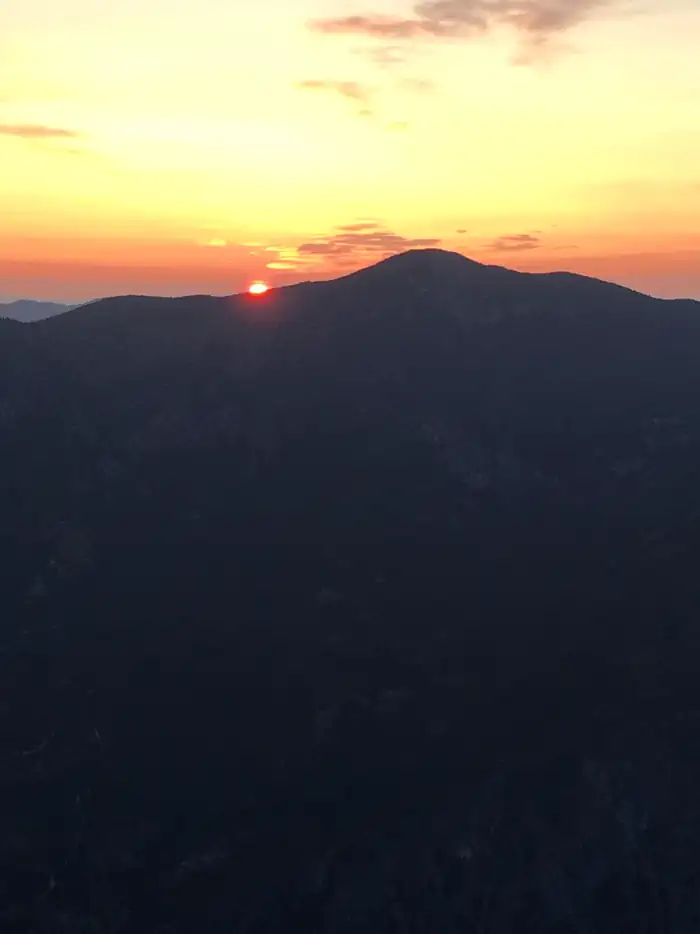
Tyee Lookout August — TREADTyee Lookout Sunset — TREADTyee Lookout — Mark HastingsSunrise — Jon MeierInside of the lookout — Jon MeierSunrise — Jon MeierView from Tyee Lookout — TREADView up valley — Jon Meier
How to Get There
From the junction of Entiat River Road and 97A, driver 10.1 miles on the Entiat River Road. Turn left on county road 119A and cross the Entiat River. Drive 2.1 miles to the junction of FS road 5700 and FS road 5800, continue straight on FS road 5700. Road is now single lane paved road, parts of which are steep as it gains elevation to the ridge. Drive 13.9 miles to the junction of 5700 and 5713. There is not a sign currently so keep an eye on your odometer. Turn right on the 5713. If you do not have a high clearance vehicle stop and park at the 0.6 mile mark, there is a large parking area and pine tree. The final 3.6 miles to the lookout are on a very rough, rocky road requiring good tires and a high clearance vehicle.
Download your route in advance via Gaia, Caltopo, or OSM-based apps.
Recommendations adapt to the current forecast + trail stats. Use them as a starting point — local conditions, your experience, and the time of day you start all matter.
Plan Your Visit to Tyee Lookout
Heading to Tyee Lookout? A few things to know before you go:
Reservations: popular sites fill up fast — check Recreation.gov 6 months in advance
Fees: day-use and camping fees vary; check current rates on the official park page
Trash & pack-out: follow Leave No Trace principles
Wildlife: store food in bear boxes where provided; never feed wildlife
Weather: the 5-day forecast above is updated every 6 hours; verify just before you go
Frequently Asked Questions
Do I need a reservation for Tyee Lookout?
No central reservation system listed for Tyee Lookout. Check the official page (https://www.recreation.gov/camping/campgrounds/10132085) for the latest entry policy and availability.
How many campsites are at Tyee Lookout?
Tyee Lookout has 1 campsites. Site amenities (hookups, vehicle limits, ADA access) vary — see the individual campsite pages for details.
How do I get to Tyee Lookout?
From the junction of Entiat River Road and 97A, driver 10.1 miles on the Entiat River Road. Turn left on county road 119A and cross the Entiat River. Drive 2.1 miles to the junction of FS road 5700 and FS road 5800, continue straight on FS road 5700. Road is now single lane paved road, parts of which are steep as it gains elevation to the ridge. Drive 13.9 miles to the junction of 5700 and 5713. T…
How do I contact Tyee Lookout?
You can reach the park at phone: 509-784-4700 or email: [email protected].