Frankford, Virginia · Greenbrier County · Campground
Overview Blue Bend Recreation Area is a quaint wooded area filled with plenty of hiking, picnicking and camping opportunities. Constructed in the 1930s by the Civilian Conservation Corps, the rustic wood tables and shelters appeal to many day and overnight visitors. The recreation area, along Anthony Creek, has a selec…
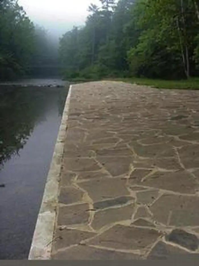
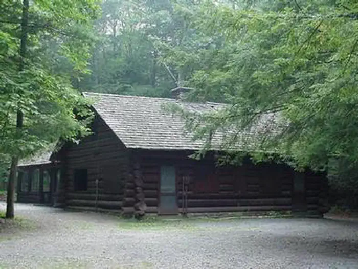
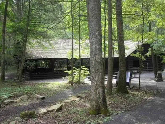
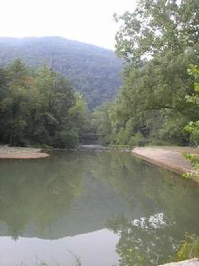
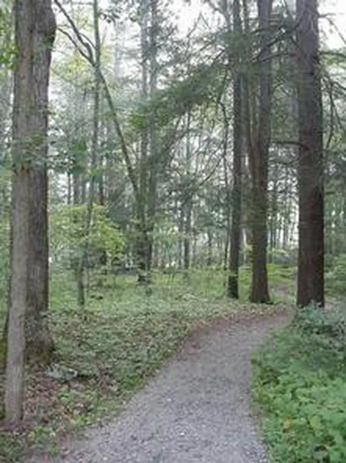
Overview Blue Bend Recreation Area is a quaint wooded area filled with plenty of hiking, picnicking and camping opportunities. Constructed in the 1930s by the Civilian Conservation Corps, the rustic wood tables and shelters appeal to many day and overnight visitors. The recreation area, along Anthony Creek, has a selection of single family campsites and 2 picnic shelters. The large group picnic shelter accommodates 75 people and can be reserved in peak season.Recreation Swimming is nice and refreshing in Anthony Creek, and anglers can find trout here. The Blue Bend Recreation Area provides access to the BIg Draft WIlderness. A popular excursion into the wilderness is the 5-mile Blue Bend Loop Trail, which connects to the Anthony Creek Trail. Blue Bend Loop Trail offers 3 scenic overlooks. Facilities Flush toilets and showers are available in summer, and vault toilets can be used through the spring and fall seasons. Running water is also seasonal, but a hand pump is available through spring and fall. Each site is on a parking spur with a picnic table, campfire ring, trash bin and lantern post.Natural Features At an elevation of 1,860 feet, the campground is in a pleasant, wooded valley facing Round Mountain in the Monongahela National Forest. The forest comprises about a million acres of forest that attracts 1.3 million visitors each year. A variety of animals make their home here, including black bear, coyote, wild turkey, white-tailed deer, red and gray fox, bobcat, fisher, otter and mink. Nearby Attractions
Photos
BLUE BEND REC AREABLUE BEND REC AREABLUE BEND REC AREABLUE BEND REC AREABLUE BEND REC AREA
How to Get There
From White Sulphur Springs, travel 8 miles north on State Route 92. Turn left (west) at Alvon, West Virginia, onto State Route 16. Travel 4 miles to the recreation area.
Download your route in advance via Gaia, Caltopo, or OSM-based apps.
Recommendations adapt to the current forecast + trail stats. Use them as a starting point — local conditions, your experience, and the time of day you start all matter.
Plan Your Visit to BLUE BEND REC AREA
Heading to BLUE BEND REC AREA? A few things to know before you go:
Reservations: popular sites fill up fast — check Recreation.gov 6 months in advance
Fees: day-use and camping fees vary; check current rates on the official park page
Trash & pack-out: follow Leave No Trace principles
Wildlife: store food in bear boxes where provided; never feed wildlife
Weather: the 5-day forecast above is updated every 6 hours; verify just before you go
Frequently Asked Questions
Do I need a reservation for BLUE BEND REC AREA?
No central reservation system listed for BLUE BEND REC AREA. Check the official page (https://www.recreation.gov/camping/campgrounds/232008) for the latest entry policy and availability.
How do I get to BLUE BEND REC AREA?
From White Sulphur Springs, travel 8 miles north on State Route 92. Turn left (west) at Alvon, West Virginia, onto State Route 16. Travel 4 miles to the recreation area.
How do I contact BLUE BEND REC AREA?
You can reach the park at phone: 304-536-2144 FOR DISTRICT OFFICE AND 304-536-1440 FOR CAMPGROUND FROM MAY TO AUGUST or email: [email protected].