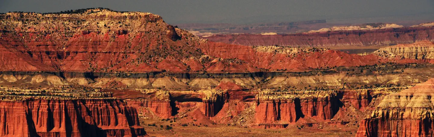
Overview Located in south-central Utah in the heart of red rock country, Capitol Reef National Park is a hidden treasure filled with cliffs, canyons, domes and bridges in the Waterpocket Fold, a geologic monocline (a wrinkle on the earth) extending almost 100 miles (160 km).The Fruita Campground area is located one mil…
Overview Located in south-central Utah in the heart of red rock country, Capitol Reef National Park is a hidden treasure filled with cliffs, canyons, domes and bridges in the Waterpocket Fold, a geologic monocline (a wrinkle on the earth) extending almost 100 miles (160 km).The Fruita Campground area is located one mile south of the visitor center and is often described as an oasis within the desert. The Group Campsite is near Loop C of the Fruita Campground. It is a semi-shaded, grassy campsite and is located in the Fruita Historic District of the park. Recreation Walk to historic inscriptions on the Capitol Gorge Trail and stroll the Goosenecks Trail. Visitors looking for longer trails can visit our Trail Guide and perhaps explore Cohab Canyon, Chimney Rock, and Cassidy Arch.Enjoy the geology and view the Fremont Culture Petroglyphs along Hwy 24. In addition, the Scenic Drive will introduce you to the fascinating cultural and geological history of Capitol Reef National Park. The drive includes a portion of the original road through the Waterpocket Fold. The road passes through parts of the Fruita Historic District and follows the western faces of the Waterpocket Fold, and spur roads allow exploration into beautiful Grand Wash and Capitol Gorge.Check at the Visitor Center for a current schedule of interpretive programs, which may include geology talks, Fremont culture talks, evening programs, star gazing, moonwalks, and geology hikes. Stop in at Ripple Rock Nature Center to experience interactive exhibits, games, activities, and free educational programs. Wander through the historic Fruita Orchards and pick fresh fruit when in season. The orchards contain approximately 3,100 trees including cherry, apricot, peach, pear, apple, plum, mulberry, almond, and walnut.Discover Mormon pioneer history at the historic Gifford Homestead store and museum. Facilities Sheltered picnic areas are provided at the group campsite and there is a large grassy area for tents and activit
Photos
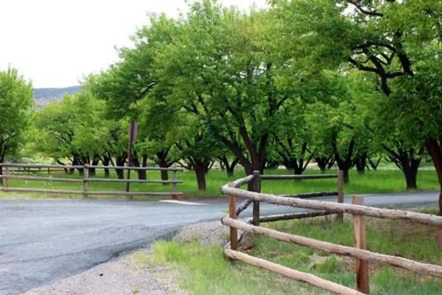
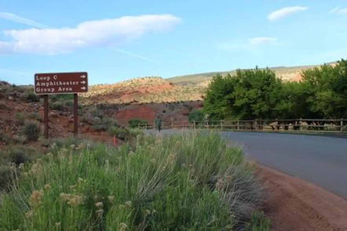
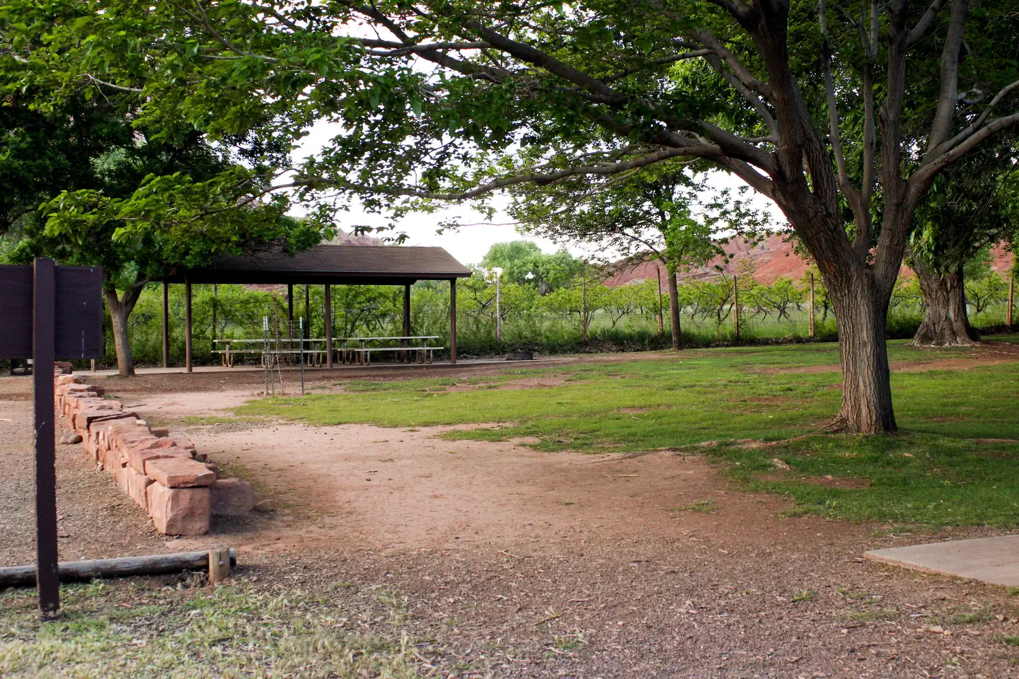
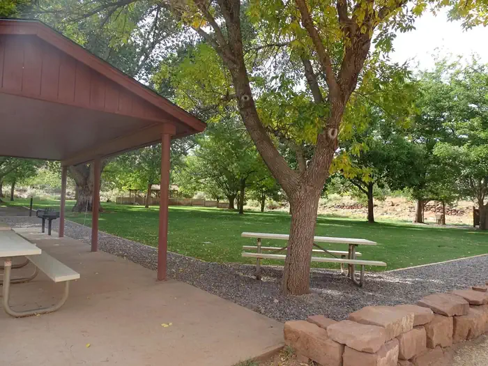
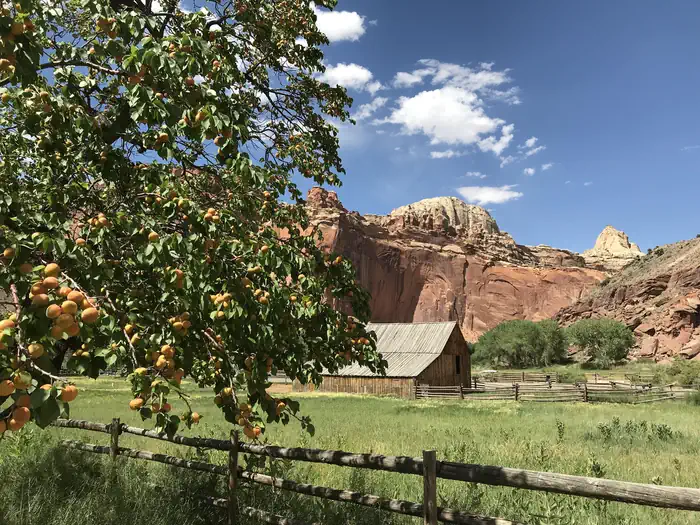
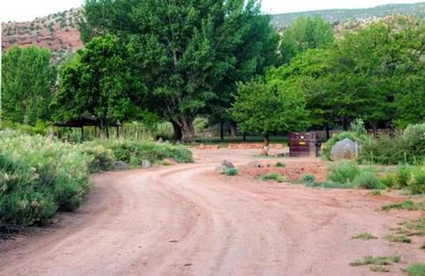
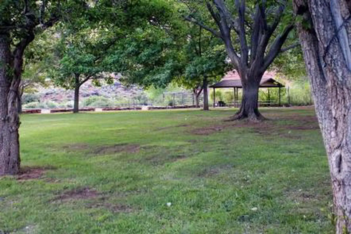
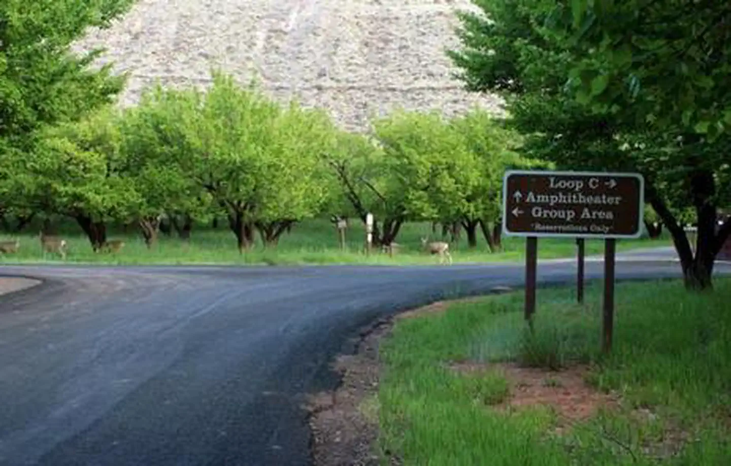
A paved road. There are fences on either side of the road. On the left side of the road there are many trees — NPSA paved road. To the right side there is desert fauna and a brown sign reading: "Loop C *right arrow* Amphitheater *right arrow* Group Area *right arrow*". To the left side is a fence and some trees. There is a brown-red color hill against a blue sky in the background. — NPSA grassy area. A couple of trees are in the area. A pavilion with picnic tables is in the background. — NPSA large tree is in front of a white picnic table. A brown pavilion is to the left, a white picnic table is underneath it and the picnic table is on top of concrete. A grassy area with many trees are in the background. — NPSAn apricot tree with red cliffs and Pendleton barn in the background — NPS Photo (Shauna Cotrell)A dirt road. There are dumpsters at the end of the road. There is desert fauna off to the right side of the road. There are many trees in the background. — NPSA grassy field with a few trees. A pavilion is in the background. — NPSA paved road splits into two directions. The right split then again splits into two directions. Before the first split there is a brown sign reading as follows "Loop C *left arrow* Amphitheater *up arrow* Group Area *right arrow" in smaller print underneath "Group Area" is reads "Reservation only". There are many trees and a couple deer in the background. — NPS
How to Get There
Traveling westbound on Interstate 70: Take Utah State Highway 24 west towards Hanksville (exit 149). Stay on Highway 24 for 80 miles (129 km) to reach the park Visitor Center.Traveling on Interstate 15: Take US Highway 50 east at Scipio (exit 188) towards Salina for 30 miles (48 km). At the junction with Utah State Highway 89/259, turn right (south) and travel 8 miles (13 km). Turn left (east) onto Utah State Highway 24 towards Sigurd. Continue on Highway 24 for 82 miles (132 km) to reach the park Visitor Center.
Download your route in advance via Gaia, Caltopo, or OSM-based apps.
Recommendations adapt to the current forecast + trail stats. Use them as a starting point — local conditions, your experience, and the time of day you start all matter.
Plan Your Visit to Capitol Reef Group Campground
Heading to Capitol Reef Group Campground? A few things to know before you go:
Reservations: popular sites fill up fast — check Recreation.gov 6 months in advance
Fees: day-use and camping fees vary; check current rates on the official park page
Trash & pack-out: follow Leave No Trace principles
Wildlife: store food in bear boxes where provided; never feed wildlife
Weather: the 5-day forecast above is updated every 6 hours; verify just before you go
Frequently Asked Questions
Do I need a reservation for Capitol Reef Group Campground?
No central reservation system listed for Capitol Reef Group Campground. Check the official page (https://www.recreation.gov/camping/campgrounds/251709) for the latest entry policy and availability.
How do I get to Capitol Reef Group Campground?
Traveling westbound on Interstate 70: Take Utah State Highway 24 west towards Hanksville (exit 149). Stay on Highway 24 for 80 miles (129 km) to reach the park Visitor Center.Traveling on Interstate 15: Take US Highway 50 east at Scipio (exit 188) towards Salina for 30 miles (48 km). At the junction with Utah State Highway 89/259, turn right (south) and travel 8 miles (13 km). Turn left (east) ont…
How do I contact Capitol Reef Group Campground?
You can reach the park at phone: (435)425-4172(MON-THUR) OR (435)425-3791(FRI-SUN) or email: [email protected].