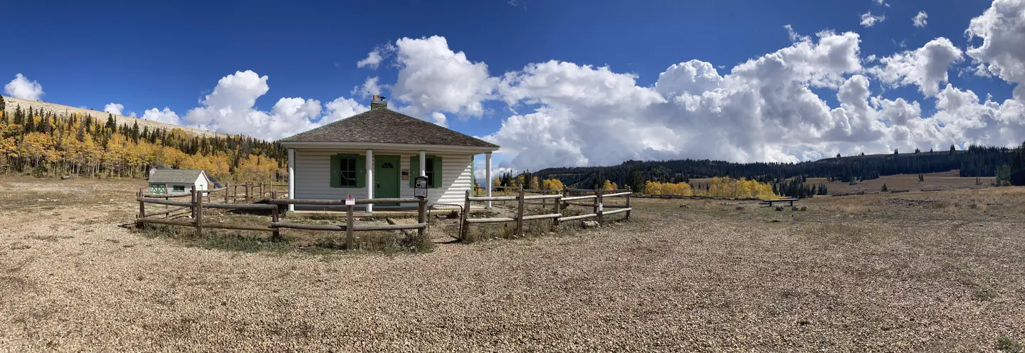
Overview Seely Creek Guard Station is located near the top of the Wasatch Plateau, within the Manti-La Sal National Forest in central Utah. The cabin was built in late-1907 or early-1908 and is listed on the National Register of Historic Places. Guests enjoy year-round recreational activities, including hiking, off-roa…
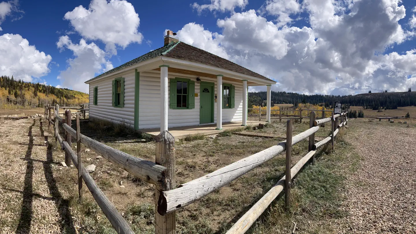
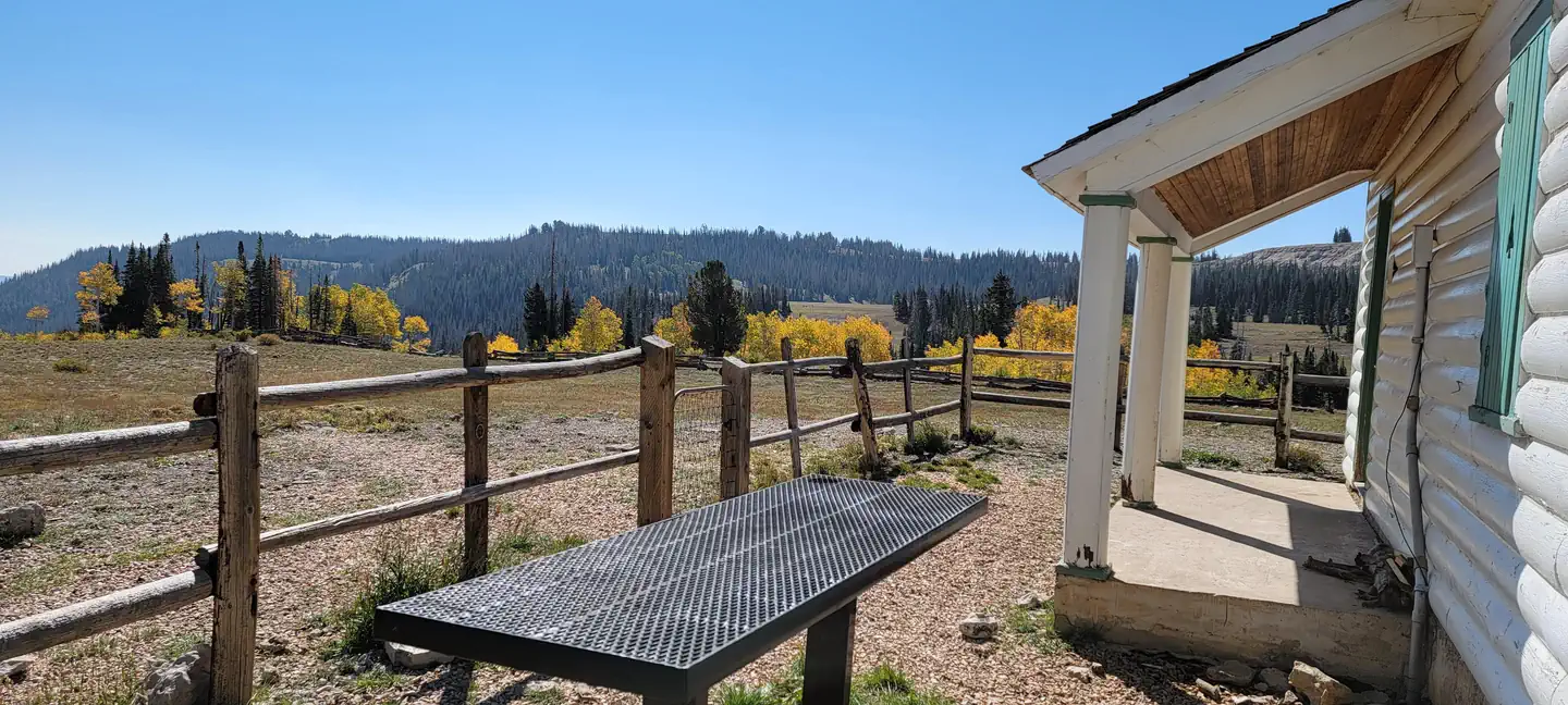
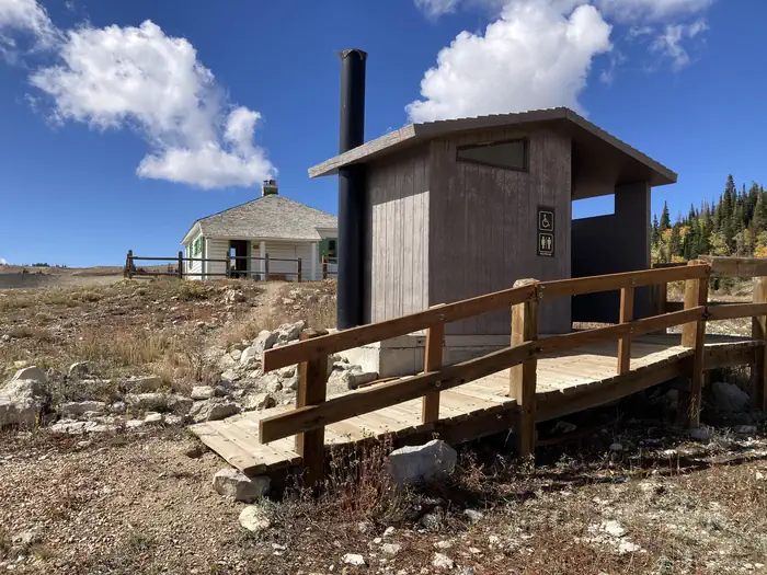
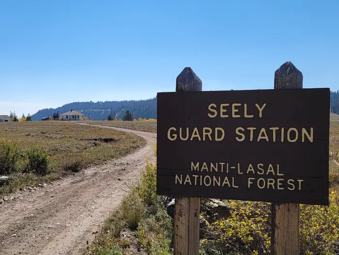
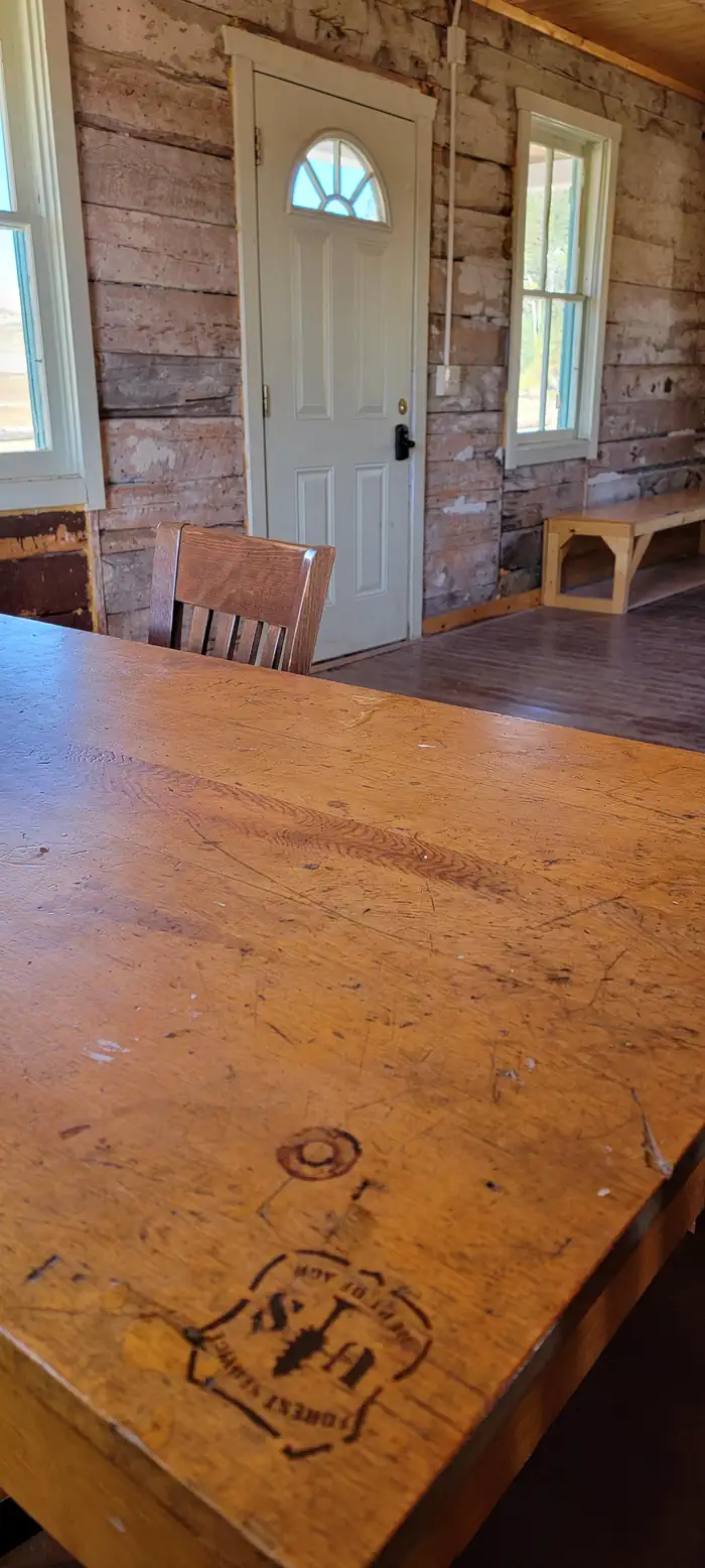
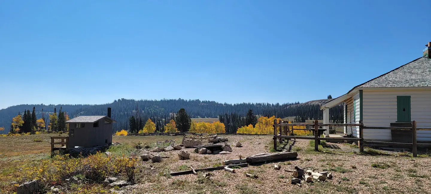
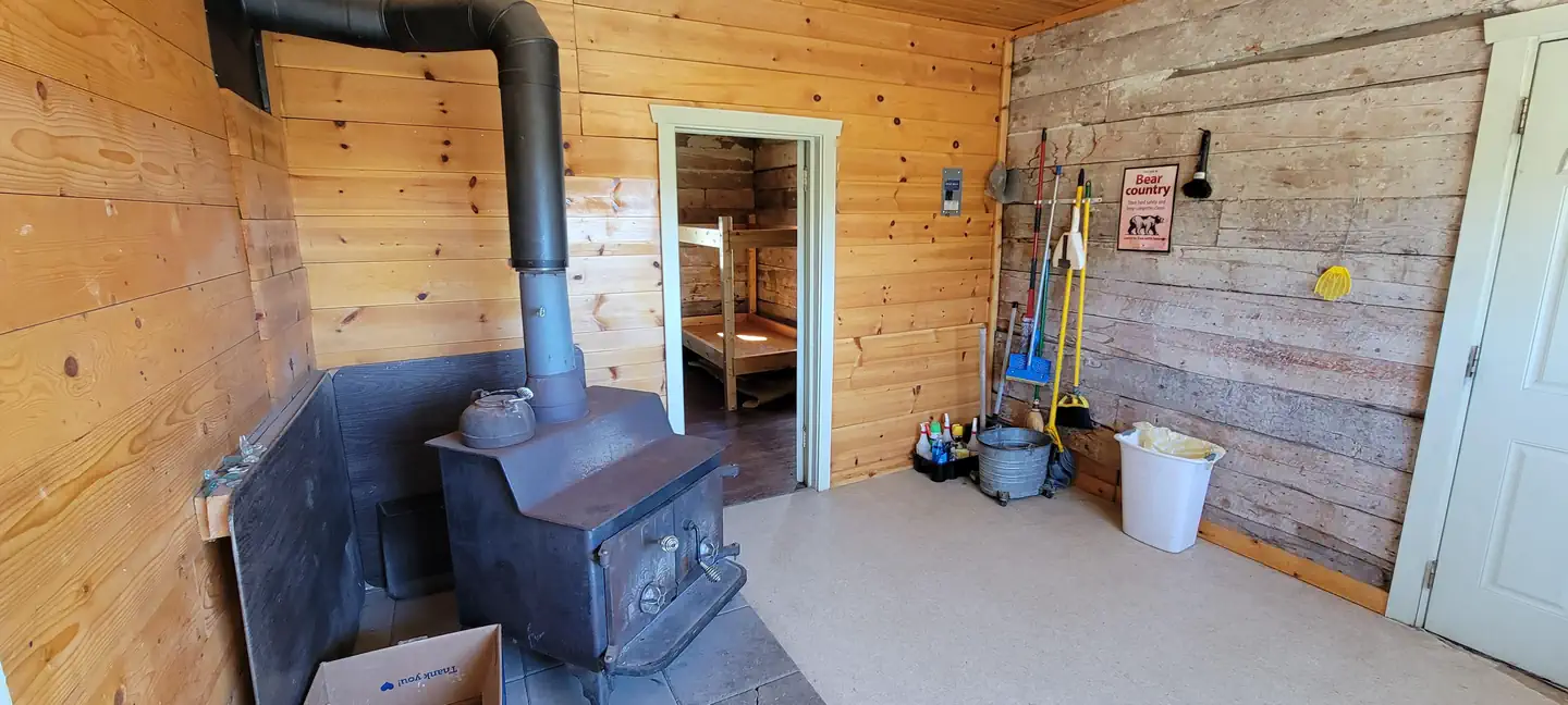
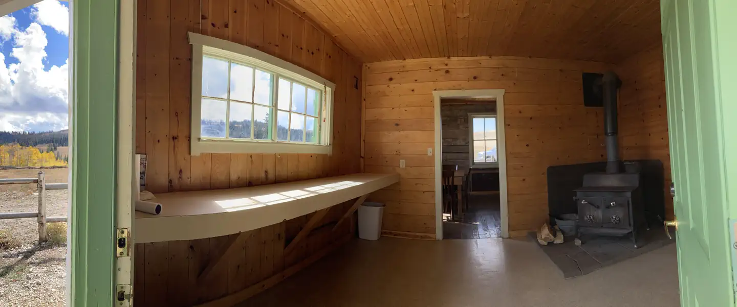
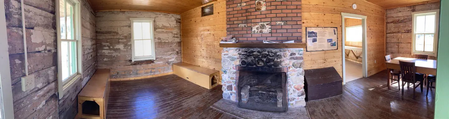
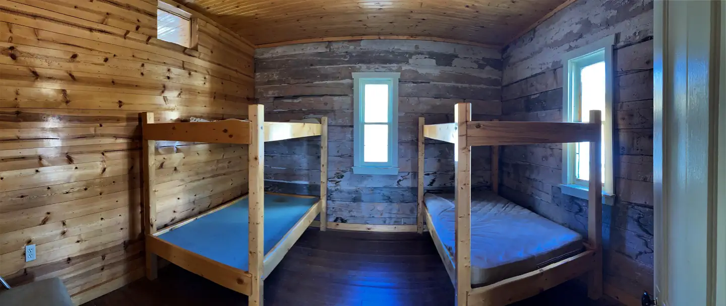
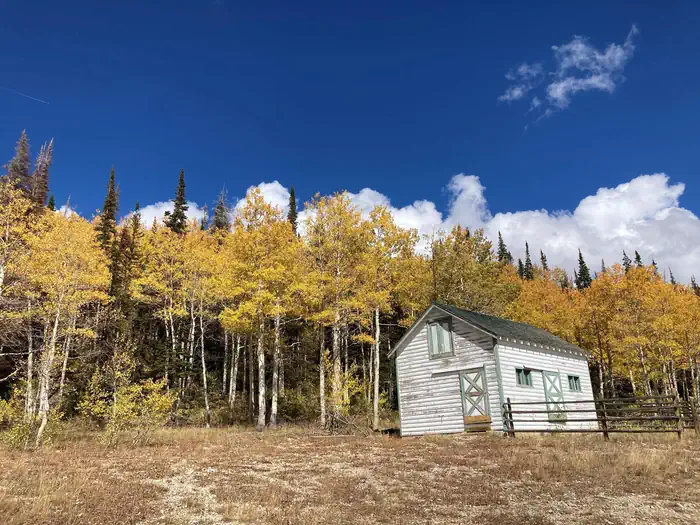
Overview Seely Creek Guard Station is located near the top of the Wasatch Plateau, within the Manti-La Sal National Forest in central Utah. The cabin was built in late-1907 or early-1908 and is listed on the National Register of Historic Places. Guests enjoy year-round recreational activities, including hiking, off-roading, snowmobiling and skiing.Recreation Skyline Drive passes along the ridge line just above the cabin, providing great trail opportunities for off-road vehicles, mountain biking and hiking. In the winter, the surrounding area becomes a playground for snowmobile enthusiasts. Cross-country skiing, back country skiing and snowshoeing are also popular activities. Horseback riding trails crisscross the area as well. A maximum of 20 horses is allowed at the guard station, though no horse facilities (corrals, hitching posts, etc) are present. The surrounding meadow can be used for picketing or hobbling.Facilities Seely Guard Station can accommodate a maximum of 30 people, with six inside and 24 camped outside in a maximum of six vehicles (truck and trailer combination counts as one vehicle). The rustic guard station is spacious inside, with four single bunks without mattresses. Guests must bring their own linens, bedding and pillows. The cabin is equipped with a table and chairs, a fireplace and wood stove. No water is available. A vault toilet is located approximately 50 feet behind the cabin and a campfire ring lies outside the fenced area on the north side.Natural Features The cabin is situated in a beautiful wildflower-filled meadow, at an elevation of approximately 10,000 feet. Seely Creek flows along the edge of the meadow. Skyline Drive runs along the top of the Wasatch Plateau for more than 60 miles, rewarding visitors with beautiful mountain scenery, glacial cirques, spruce-fir and aspen forests, numerous lakes and reservoirs. Wildlife and summer wildflowers are plentiful, and autumn leaves put on quite a show. Due to the guard station's high eleva
Photos
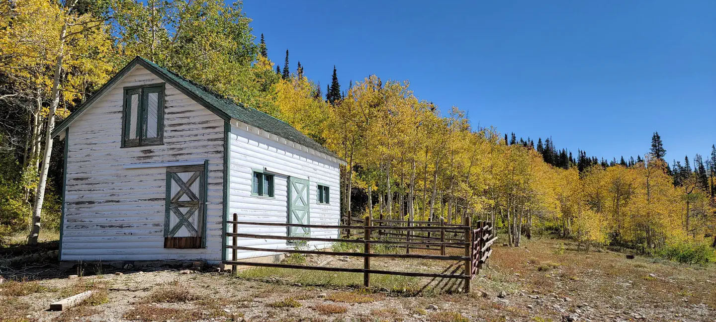
Seely Creek Guard Station Grounds3 — USFSSeely Creek Guard Station Stable2 — USFSSeely Guard Station bathroom exterior — USFS, Emily Kay RabastoSEELY CREEK GUARD STATION Sign — USFSSeely Creek Guard Station Interior4 — USFSSeely Creek Guard Station Grounds4 — USFSSeely Creek Guard Station Interior5 — USFSSeely Guard Station Interior, kitchen area and wood stove — USFS, Emily Kay RabastoSeely Guard Station interior front room — USFS, Emily Kay RabastoSeely Creek Guard Station Interior6 — USFS, Emily Kay RabastoSEELY CREEK GUARD STATION BARN — USFS, Emily Kay RabastoSeely Guard Station front exterior yard — USFS, Emily Kay Rabasto
How to Get There
From Orangeville, travel west on State Highway 29 to Joe's Valley Reservoir. At the reservoir, turn right and follow the road around to the other side. When you start heading away from the reservoir and toward the plateau, you'll pass Orange Olsen Administrative Site on the right and then a road on the left. Do not turn. Continue on Highway 29, which is now a dirt road, and continues to the top of the plateau. (Warning: The road here gets narrow and when wet, can be extremely slick. Travelers may want to wait for it to dry especially if pulling a trailer). From where the road turns to dirt, it's about 11 miles to the top. Just before you reach the top, look for Forest Road 050 and a sign on the left that says, "Seely Guard Station 2 miles." This will be within a quarter-mile of Skyline Drive (Forest Road 150). Take Forest Road 050 to the left and travel 1.25 miles to the cabin. From Ephraim, head east on State Highway 29 along Ephraim Canyon. You'll pass the Forest Boundary about 3.5 miles from town. Stay on Highway 29, which is now a dirt road, all the way to the top of the plateau (approximately another 11.5 miles). When you reach Skyline Drive on the top of the plateau, turn right and at just over a tenth of a mile, take Forest Road 2326 to the left. Go down this two-track road for just under a mile, to the cabin.
Download your route in advance via Gaia, Caltopo, or OSM-based apps.
Recommendations adapt to the current forecast + trail stats. Use them as a starting point — local conditions, your experience, and the time of day you start all matter.
Plan Your Visit to SEELY CREEK GUARD STATION
Heading to SEELY CREEK GUARD STATION? A few things to know before you go:
Reservations: popular sites fill up fast — check Recreation.gov 6 months in advance
Fees: day-use and camping fees vary; check current rates on the official park page
Trash & pack-out: follow Leave No Trace principles
Wildlife: store food in bear boxes where provided; never feed wildlife
Weather: the 5-day forecast above is updated every 6 hours; verify just before you go
Frequently Asked Questions
Do I need a reservation for SEELY CREEK GUARD STATION?
No central reservation system listed for SEELY CREEK GUARD STATION. Check the official page (https://www.recreation.gov/camping/campgrounds/233168) for the latest entry policy and availability.
How many campsites are at SEELY CREEK GUARD STATION?
SEELY CREEK GUARD STATION has 1 campsites. Site amenities (hookups, vehicle limits, ADA access) vary — see the individual campsite pages for details.
How do I get to SEELY CREEK GUARD STATION?
From Orangeville, travel west on State Highway 29 to Joe's Valley Reservoir. At the reservoir, turn right and follow the road around to the other side. When you start heading away from the reservoir and toward the plateau, you'll pass Orange Olsen Administrative Site on the right and then a road on the left. Do not turn. Continue on Highway 29, which is now a dirt road, and continues to the top of…
How do I contact SEELY CREEK GUARD STATION?
You can reach the park at phone: 435-384-2372 or email: [email protected].