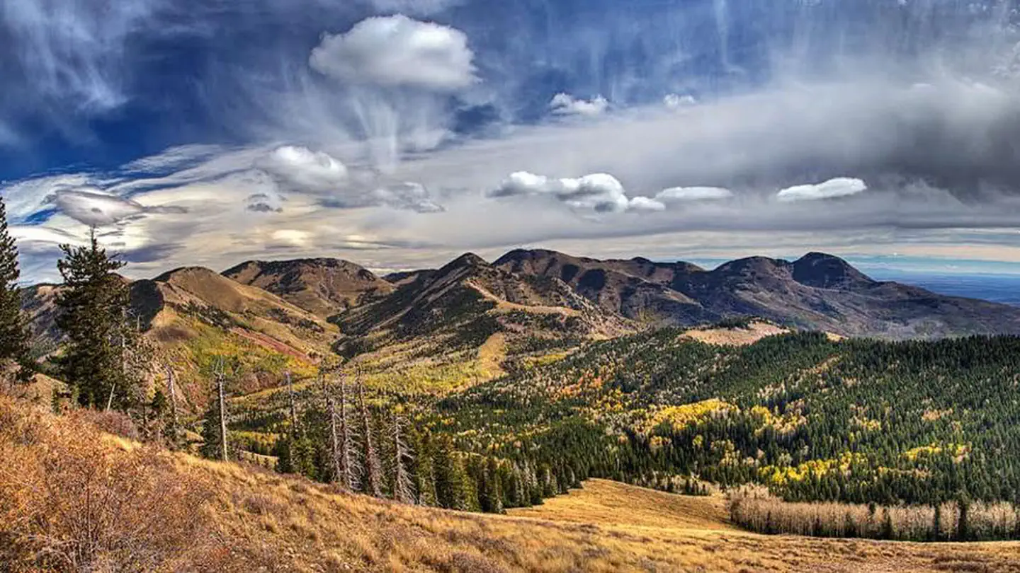
Overview Nizhoni Campground sits in the Manti-LaSal National Forest in southeast Utah, at the foot of the Abajo Mountains. Recreation Popular activities include hiking, wildlife viewing and off-road vehicle riding. Several trailheads are nearby, including Shay Ridge, Aspen Flat and Red Ledges. The Abajo Loop State Scen…
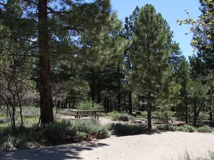
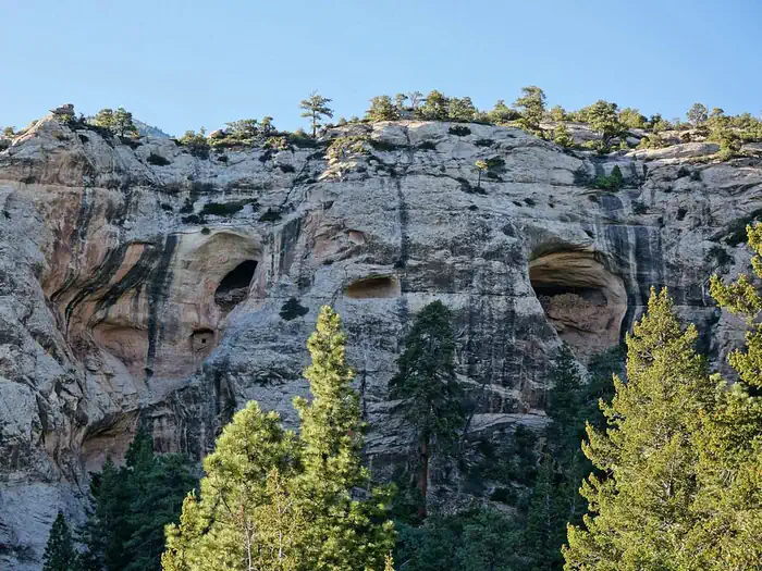
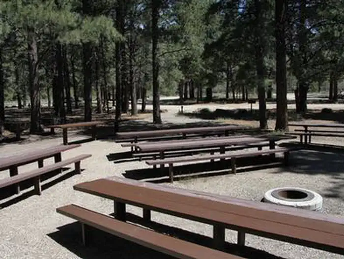
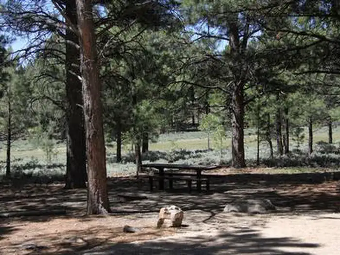
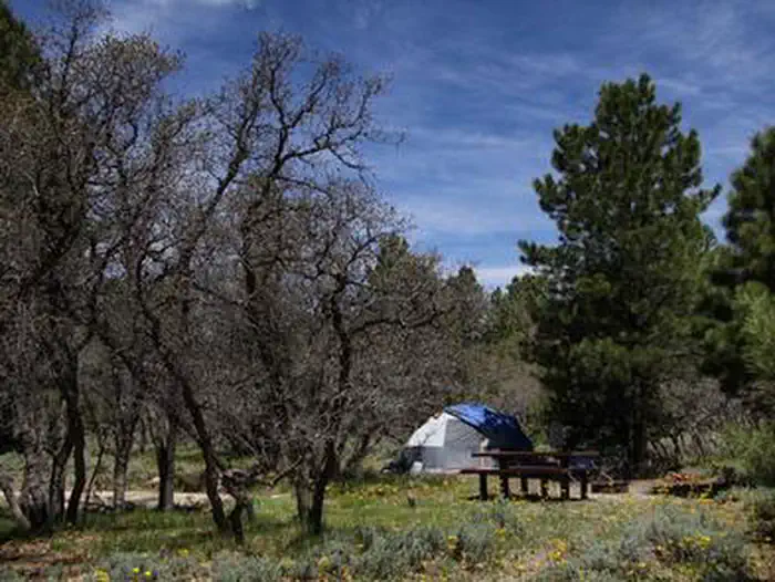
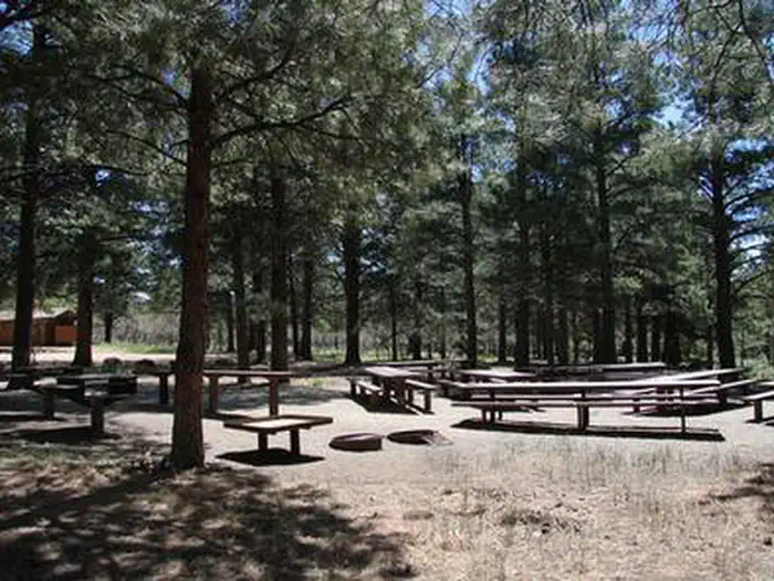
Overview Nizhoni Campground sits in the Manti-LaSal National Forest in southeast Utah, at the foot of the Abajo Mountains. Recreation Popular activities include hiking, wildlife viewing and off-road vehicle riding. Several trailheads are nearby, including Shay Ridge, Aspen Flat and Red Ledges. The Abajo Loop State Scenic Backway passes by the campground. It leads from the desert floor and red rock canyons to steep mountains over 10,000 feet high, with overlooks and panoramic views. The byway is suitable for passenger vehicles from late spring through fall but is not recommended for large RVs.Facilities The campground contains two group sites that each accommodate up to 50 guests. Several single-family sites are available as well. Picnic tables and fire rings are provided, as are vault toilets and drinking water seasonally. Firewood may be collected in and around the campground. Roads and parking spurs are gravel. There is a 14 day stay limit at this campground. Natural Features Towering Ponderosa pines forest the site, offering partial shade. Gambel oaks and sagebrush dot the landscape. The campground sits at an elevation of 7,000 feet, and summer temperatures range from 80-90 degrees during the day and 55-65 degrees at night. Mule deer, wild turkeys, Abert's squirrels and the occasional black bear may be seen in the area. Nearby Attractions Other attractions in the area include Canyonlands, Arches and Mesa Verde National Parks, Dark Canyon Wilderness, Edge of the Cedars State Park, Lake Powell and numerous archaeological sites.
Photos
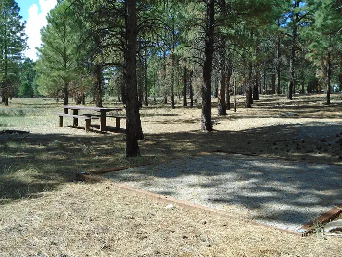
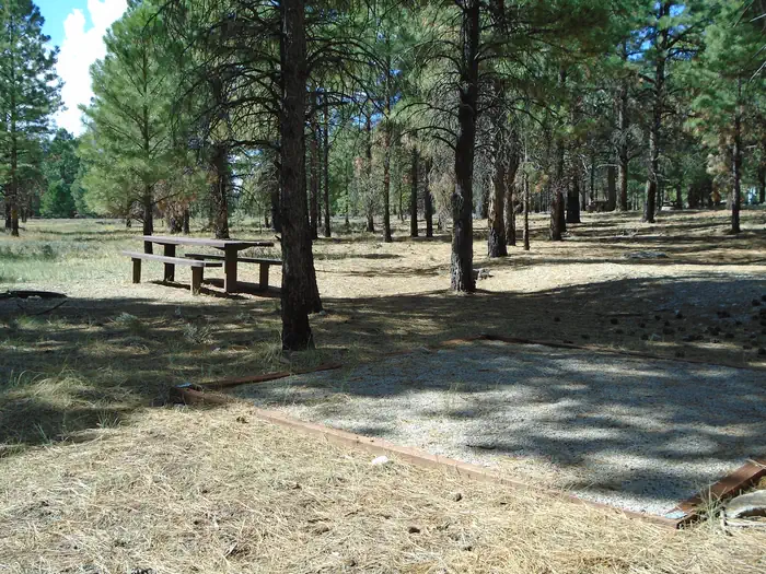
Typical Campsite in Nizhoni CG — FSSite 8 — FSNIZHONIDry Wash Ruins Near Nizhoni CG — rovingmagpieNIZHONINIZHONINIZHONINIZHONI
How to Get There
From Blanding, Utah, travel north on Highway 191 approximately two miles. Turn left on E. Pinion Ridge Road (National Forest Access sign: Dry Wash Reservoir) and proceed 3/4-mile to the stop sign. Turn right on Forest Road 079 and continue approximately 10 miles to the campground on the right side of the road.
Download your route in advance via Gaia, Caltopo, or OSM-based apps.
Recommendations adapt to the current forecast + trail stats. Use them as a starting point — local conditions, your experience, and the time of day you start all matter.
Plan Your Visit to NIZHONI
Heading to NIZHONI? A few things to know before you go:
Reservations: popular sites fill up fast — check Recreation.gov 6 months in advance
Fees: day-use and camping fees vary; check current rates on the official park page
Trash & pack-out: follow Leave No Trace principles
Wildlife: store food in bear boxes where provided; never feed wildlife
Weather: the 5-day forecast above is updated every 6 hours; verify just before you go
Frequently Asked Questions
Do I need a reservation for NIZHONI?
No central reservation system listed for NIZHONI. Check the official page (https://www.recreation.gov/camping/campgrounds/232405) for the latest entry policy and availability.
How do I get to NIZHONI?
From Blanding, Utah, travel north on Highway 191 approximately two miles. Turn left on E. Pinion Ridge Road (National Forest Access sign: Dry Wash Reservoir) and proceed 3/4-mile to the stop sign. Turn right on Forest Road 079 and continue approximately 10 miles to the campground on the right side of the road.