Overview White Bridge Campground is located just 12 miles southwest of Panguitch, Utah and 55 miles northeast of Cedar City. Visitors enjoy fishing, canoeing on nearby Panguitch Lake and exploring local trails.Recreation Campers enjoy fishing for rainbow trout in Panguitch Creek. Hiking and biking are popular activitie…
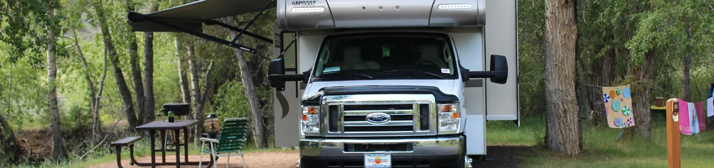
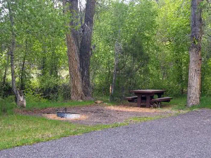
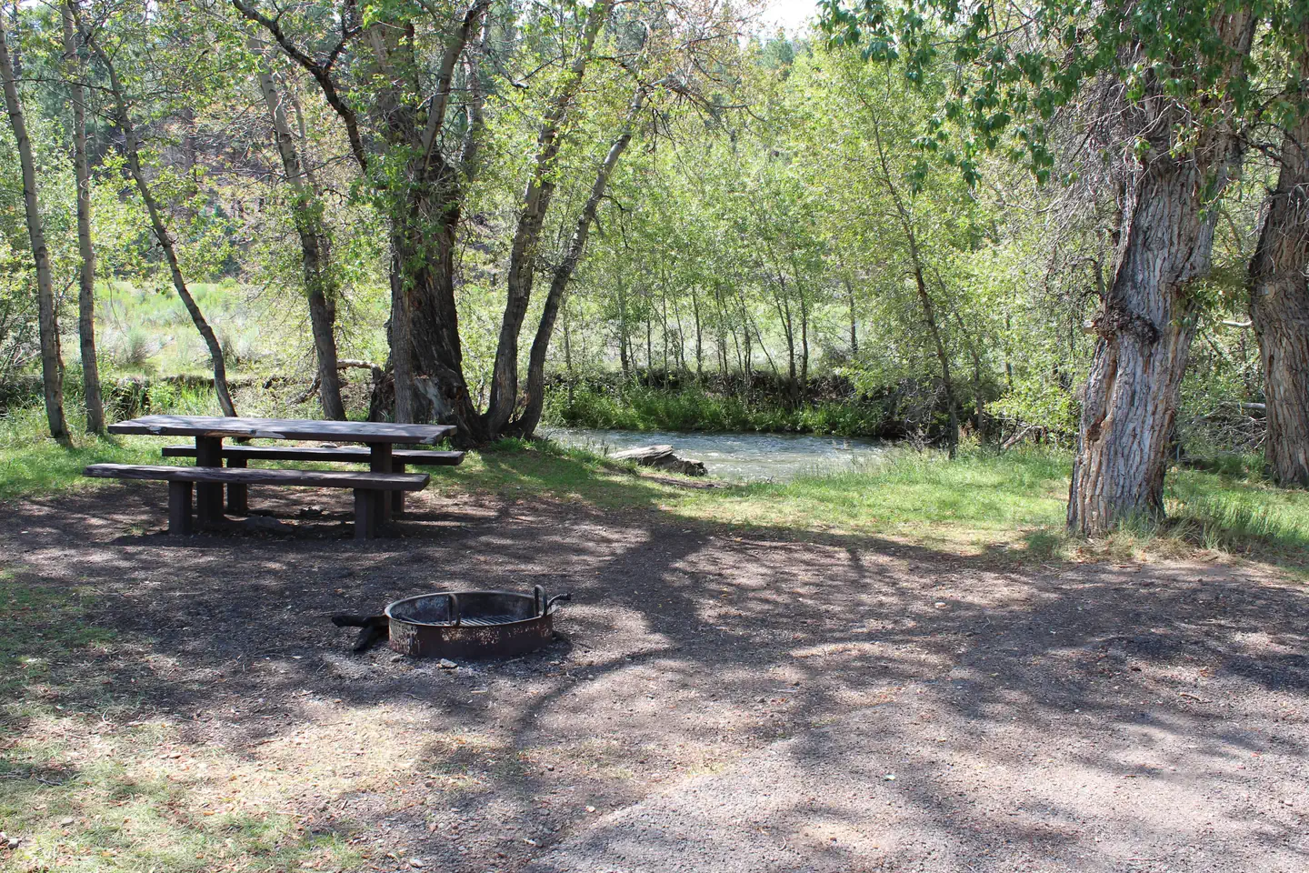
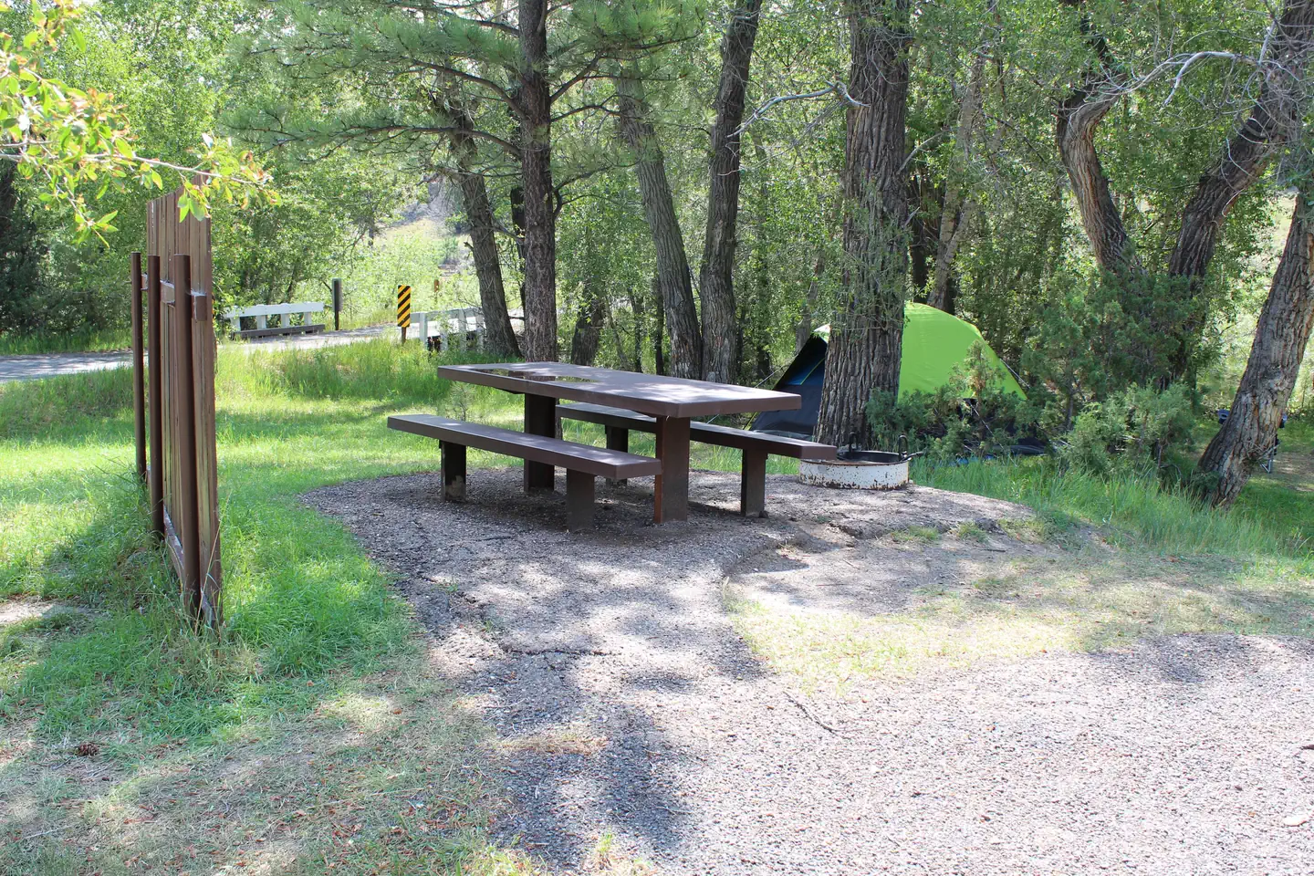
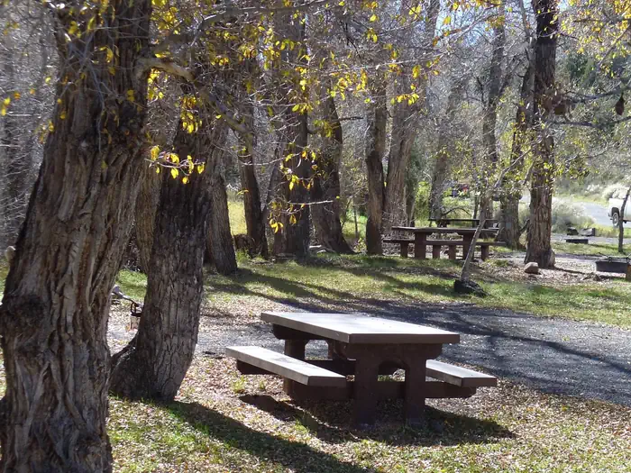
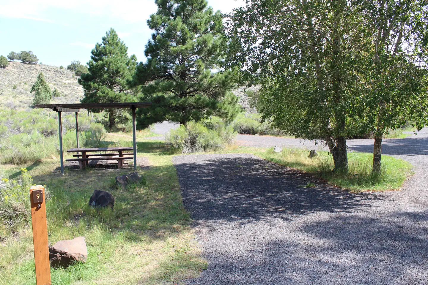
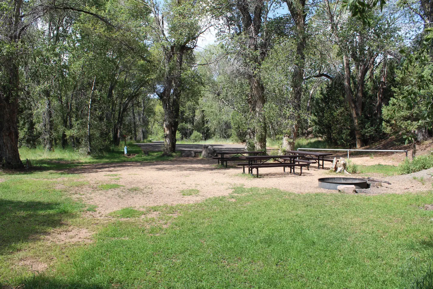
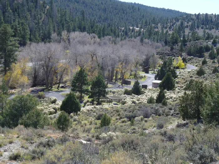
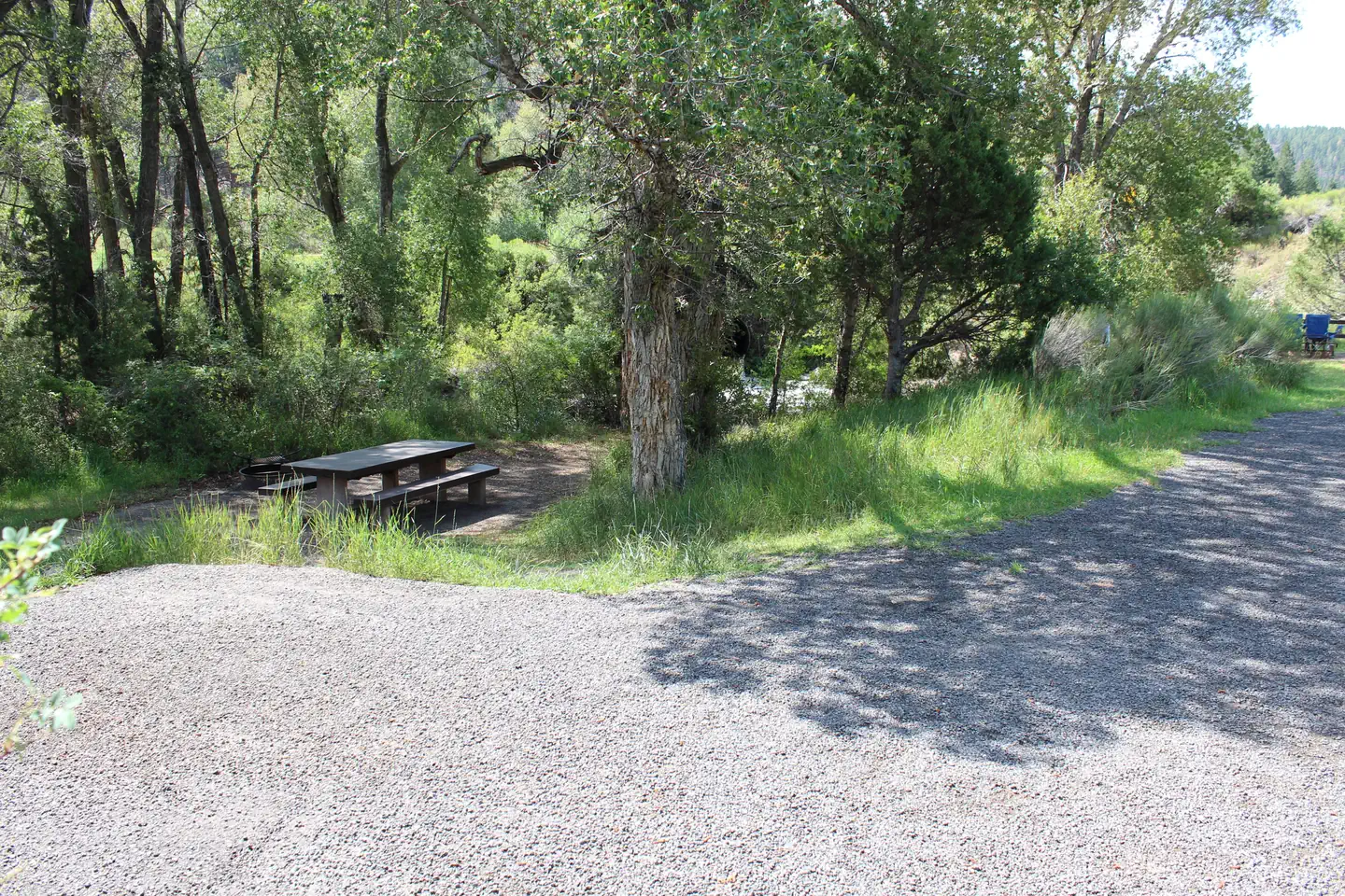
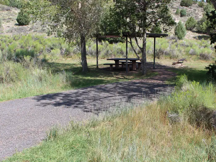
Overview White Bridge Campground is located just 12 miles southwest of Panguitch, Utah and 55 miles northeast of Cedar City. Visitors enjoy fishing, canoeing on nearby Panguitch Lake and exploring local trails.Recreation Campers enjoy fishing for rainbow trout in Panguitch Creek. Hiking and biking are popular activities around the campground. The Panguitch Lake ATV Trail System offers 100+ miles of trails and can be accessed nearby.Facilities White Bridge offers several family campsites. The sites along the creek have natural shade, while the sites across the loop road are more open and equipped with picnic shelters for shade. Flush and vault toilets are provided, as is drinking water and a dump station. OHV/ATV's including street legal are allowed in the campground for ingress and egress only (to and from your campsite to the road). Joy riding in the campground is not allowed. Natural Features The campground is situated high on the Colorado Plateau at an elevation of 7,900 feet. Panguitch Creek runs alongside the campground. Cottonwoods line the creek and aspens, pinion and juniper dot the sagebrush-covered landscape. Nearby Attractions White Bridge is just 6 miles from Panguitch Lake. Some of the state's largest rainbow trout are fished from the lake each year, and aptly so; "Panguitch" comes from the Paiute word meaning "big fish." Anglers will also find brook, cutthroat and brown trout. Canoeing is a popular activity on this small body of water. Boat ramps are located on the south shore and at Wildlife Point. Cedar Breaks National Monument, with hiking trails and guided tours, is 16 miles from White Bridge. Just outside Cedar Breaks is the Ashdown Gorge Wilderness Area, where hikers will find 10 miles of trails and the Twisted Forest, a stand of ancient bristlecone pine. Bryce Canyon National Park is just over an hour away, with breathtaking scenery and excellent hiking opportunities.
Photos
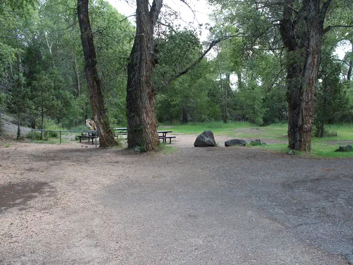
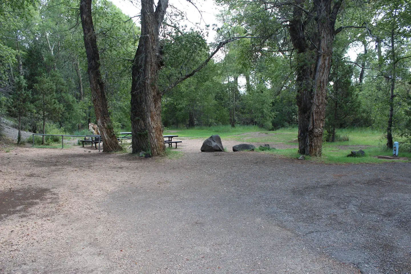
WHITE BRIDGE — Dixie NF S. LiermannBring your fishing pole! — S. Liermann Dixie National ForestCampsite — S.Liermann Dixie National ForestWhite Bridge Campground — Dixie National Forest S. LiermannCampsites with pergolas — S. Liermann, Dixie National ForestLoads of room on the creek! — S. Liermann, Dixie National Forest WHITE BRIDGE — Dixie NF S. LiermannView of White Bridge campground above it looking down — Dixie National Forest S. LiermannCampsite #5 on the creek — Dixie NF SliermannSite 12 with shade structure. — Dixie NF S. LiermannDouble site — Dixie NF S. LiermannRoomy double site! — S. Liermann, Dixie Natioanl Forest
How to Get There
From Panguitch, Utah, take Highway 143 southwest for 12 miles. Campground is on the north side of the highway.
Download your route in advance via Gaia, Caltopo, or OSM-based apps.
Recommendations adapt to the current forecast + trail stats. Use them as a starting point — local conditions, your experience, and the time of day you start all matter.
Plan Your Visit to WHITE BRIDGE
Heading to WHITE BRIDGE? A few things to know before you go:
Reservations: popular sites fill up fast — check Recreation.gov 6 months in advance
Fees: day-use and camping fees vary; check current rates on the official park page
Trash & pack-out: follow Leave No Trace principles
Wildlife: store food in bear boxes where provided; never feed wildlife
Weather: the 5-day forecast above is updated every 6 hours; verify just before you go
Frequently Asked Questions
Do I need a reservation for WHITE BRIDGE?
No central reservation system listed for WHITE BRIDGE. Check the official page (https://www.recreation.gov/camping/campgrounds/232122) for the latest entry policy and availability.
How many campsites are at WHITE BRIDGE?
WHITE BRIDGE has 29 campsites. Site amenities (hookups, vehicle limits, ADA access) vary — see the individual campsite pages for details.
How do I get to WHITE BRIDGE?
From Panguitch, Utah, take Highway 143 southwest for 12 miles. Campground is on the north side of the highway.
How do I contact WHITE BRIDGE?
You can reach the park at phone: 801-226-3564 or email: [email protected].