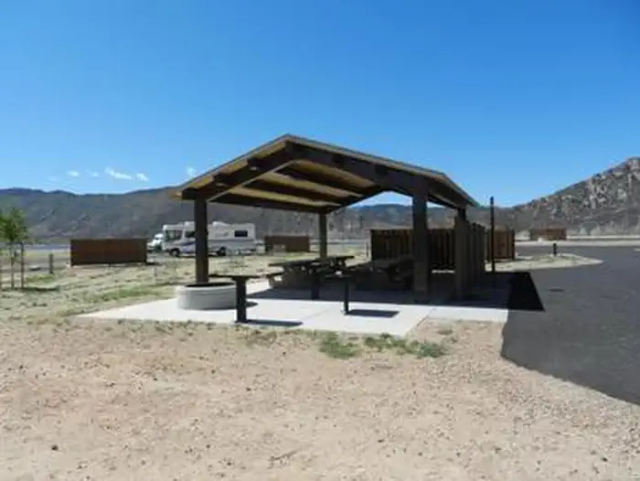
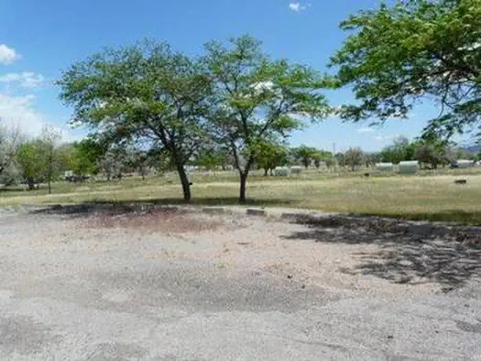
Overview Lucerne Campground is located on the shore of Flaming Gorge Reservoir at an elevation of 6,100 feet. Boating, fishing and water skiing are popular activities.Recreation Fishing, boating, canoeing, water skiing and swimming are popular activities on the lake. Campers are offered the convenience of an adjacent b…
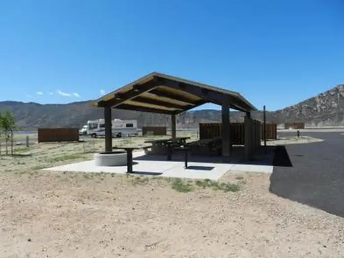
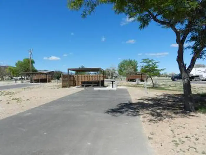
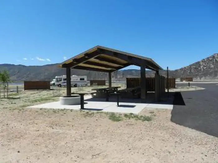
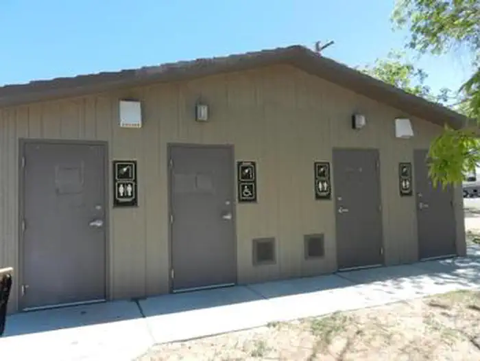
Overview Lucerne Campground is located on the shore of Flaming Gorge Reservoir at an elevation of 6,100 feet. Boating, fishing and water skiing are popular activities.Recreation Fishing, boating, canoeing, water skiing and swimming are popular activities on the lake. Campers are offered the convenience of an adjacent boat ramp, marina and fish cleaning station. Lucerne Marina has boat rentals, fuel, slips, fishing licenses, bait and groceries.Facilities This large, recently renovated campground offers nearly 140 sites campsites, many of which are accessible and have electric hookups. One group site (site B) in the G Loop is available.Sites in Loops A through D each have a picnic table, campfire ring (no grill), windbreak, electric hookups (30-50 amp) and parking spur. Loop D also has tent pads and shade cabanas. Loops E and F have shade cabanas, picnic tables and campfire rings but no electric hookups.Flush toilets, drinking water and showers are available throughout the campground. A dump station is located on-site. Natural Features The campground is situated in a high desert landscape with sagebrush and a few scattered trees. Natural shade is minimal. Typical weather ranges from warm days to cool nights. Nearby Attractions Flaming Gorge Dam offers guided tours of the working hydroelectric plant and the dam itself; the adjacent visitor center contains area history exhibits.
From Manila, Utah: Follow Highway 43 for 2.6 miles to the state line, where Highway 43 becomes Wyoming Highway 530. Follow Wyoming 530 for 1.3 miles to Lucerne Valley Road/Forest Road 146. Continue on this road approximately 4 miles to the campground.
Download your route in advance via Gaia, Caltopo, or OSM-based apps.
Recommendations adapt to the current forecast + trail stats. Use them as a starting point — local conditions, your experience, and the time of day you start all matter.
Plan Your Visit to LUCERNE CAMPGROUND
Heading to LUCERNE CAMPGROUND? A few things to know before you go:
Reservations: popular sites fill up fast — check Recreation.gov 6 months in advance
Fees: day-use and camping fees vary; check current rates on the official park page
Trash & pack-out: follow Leave No Trace principles
Wildlife: store food in bear boxes where provided; never feed wildlife
Weather: the 5-day forecast above is updated every 6 hours; verify just before you go
Frequently Asked Questions
Do I need a reservation for LUCERNE CAMPGROUND?
No central reservation system listed for LUCERNE CAMPGROUND. Check the official page (https://www.recreation.gov/camping/campgrounds/231907) for the latest entry policy and availability.
How many campsites are at LUCERNE CAMPGROUND?
LUCERNE CAMPGROUND has 147 campsites. Site amenities (hookups, vehicle limits, ADA access) vary — see the individual campsite pages for details.
How do I get to LUCERNE CAMPGROUND?
From Manila, Utah: Follow Highway 43 for 2.6 miles to the state line, where Highway 43 becomes Wyoming Highway 530. Follow Wyoming 530 for 1.3 miles to Lucerne Valley Road/Forest Road 146. Continue on this road approximately 4 miles to the campground.
How do I contact LUCERNE CAMPGROUND?
You can reach the park at phone: 801-226-3564 or email: [email protected].