Overview Fish Creek Campground is nestled adjacent to Fish Creek and is the starting point for the 10-mile Fish Creek National Recreation Trail and is just a short distance from the popular Scofield Reservoir. Fish Creek Campground is surrounded by aspen trees. The campground is sought after by campers looking for soli…
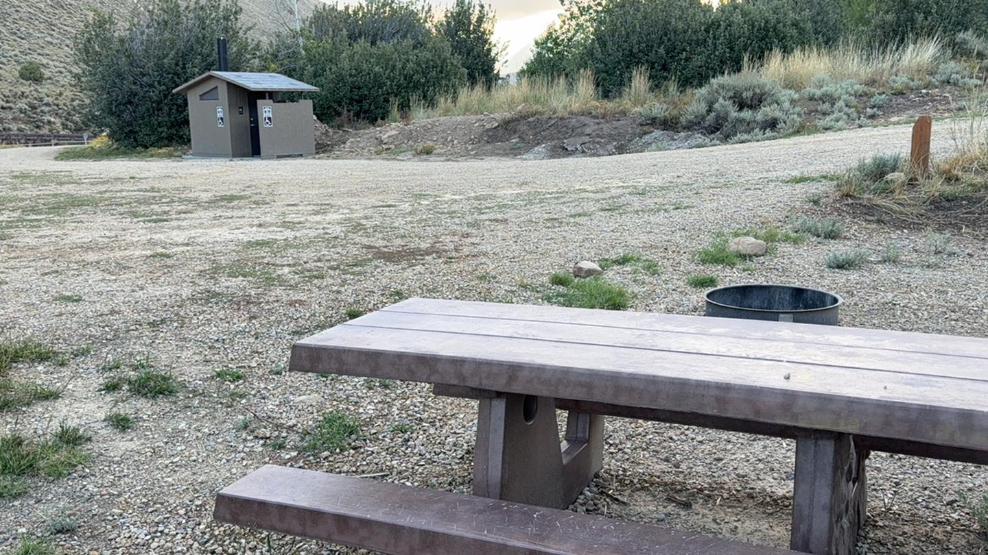
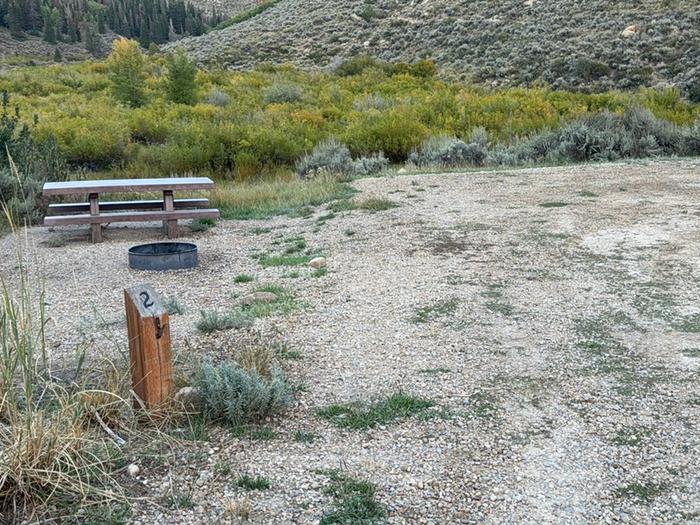
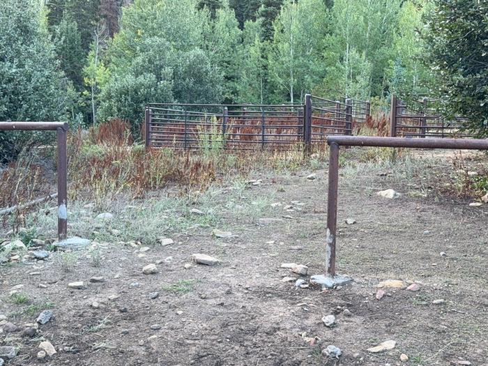
Overview Fish Creek Campground is nestled adjacent to Fish Creek and is the starting point for the 10-mile Fish Creek National Recreation Trail and is just a short distance from the popular Scofield Reservoir. Fish Creek Campground is surrounded by aspen trees. The campground is sought after by campers looking for solitude outside of a typical campground setting. Scan & Pay is available at this campground using the Recreation.gov mobile app (Android and iOS). This location is available on a first-come, first-served basis only. Visitors are required to physically arrive at the campground to purchase and claim a site. Once on-site, you can pay for your campsite(s) by scanning a QR code using the Recreation.gov mobile app. Download the free Recreation.gov mobile app on Android or iOS prior to your arrival as some remote areas have limited or no cellular service. Recreation There are many recreational activities available including hiking, biking, horseback riding, fishing and the Fish Creek UTV trail (60" wide) begins only a few miles away. The Fish Creek hiking trail has been designated as a National Recreation Trail. It is a gentle, walk along a small mountain stream, usually well maintained and easy to follow. Facilities This campground is a small remote horse friendly campground with six campsites. The site is in an open area with partial shade. You will find parking for horse trailers as well as parking for the Fish Creek National Recreation Trail which begins on-site. Amenities include a vaulted toilet, picnic tables, fire rings and a horse corral. Water and garbage service is not available. This is a "pack it in, pack it out" facility. Natural Features Fish Creek runs down a wide, gently sloping canyon from a point near Skyline Drive to the Scofield Reservoir. The canyon is popular with hunters because of the abundance of deer and elk in the area. Deer are everywhere, but the elk seem to prefer grazing in the large, open meadows high above the south bank of the
Photos
Fish Creek Campground Site 2 — USFSFish Creek Campground Equestrian Facilities — USFS
How to Get There
From Fairview, UT travel east for 8.4 miles on Highway 31. Turn left onto Highway 264 for 18 miles, turn left onto W Myrtle Street for 0.1 miles then take a right onto N Church Street for 3.8 miles then at last, slight left onto Fish Creek road for 2 miles to destination.
Download your route in advance via Gaia, Caltopo, or OSM-based apps.
Recommendations adapt to the current forecast + trail stats. Use them as a starting point — local conditions, your experience, and the time of day you start all matter.
Plan Your Visit to Fish Creek Campground
Heading to Fish Creek Campground? A few things to know before you go:
Reservations: popular sites fill up fast — check Recreation.gov 6 months in advance
Fees: day-use and camping fees vary; check current rates on the official park page
Trash & pack-out: follow Leave No Trace principles
Wildlife: store food in bear boxes where provided; never feed wildlife
Weather: the 5-day forecast above is updated every 6 hours; verify just before you go
Frequently Asked Questions
Do I need a reservation for Fish Creek Campground?
No central reservation system listed for Fish Creek Campground. Check the official page (https://www.recreation.gov/camping/campgrounds/10241505) for the latest entry policy and availability.
How do I get to Fish Creek Campground?
From Fairview, UT travel east for 8.4 miles on Highway 31. Turn left onto Highway 264 for 18 miles, turn left onto W Myrtle Street for 0.1 miles then take a right onto N Church Street for 3.8 miles then at last, slight left onto Fish Creek road for 2 miles to destination.