Overview Buckhorn Draw has multiple vault toilets and information stations along the main road. Individual campsites have picnic tables and fires rings. Recreation Buckhorn Draw Road is the main artery for the northern half of the San Rafael Swell Recreation Area. There are thousands of miles of roads and off-highway v…
Overview Buckhorn Draw has multiple vault toilets and information stations along the main road. Individual campsites have picnic tables and fires rings. Recreation Buckhorn Draw Road is the main artery for the northern half of the San Rafael Swell Recreation Area. There are thousands of miles of roads and off-highway vehicle trails; from Buckhorn Draw visitors can readily access Cane Wash Road, which leads to some of the Swell's most technical OHV trails, as well as dispersed camping along Mexican Mountain Road. Much of the area outside of the draw is designated wilderness. Motorized vehicles, bicycles, and power tools are prohibited in these areas. Hiking: Calf Canyon and Furniture Draw are popular day hikes from Buckhorn Draw. Those seeking longer, challenging backcountry adventures will find opportunities for backpacking, with trailheads located at the Johansen Corral (west from Swinging Bridge along the San Rafael River) and at the east end of Mexican Mountain Road. Off-roading: Non-county trails are infrequently maintained. Please choose trails appropriate to your vehicle and skill level and bring an emergency kit to self-rescue. Rock climbing: There are many climbing routes along Buckhorn Draw. Please utilize day use areas and general parking lots when climbing or observing. Do not stop or park in blind turns, and do not park in fee campsite if you are not camping there. Facilities Vault toilets are located at: Campsites 1-7 Campsites 18-21 The Buckhorn Pictograph Panel (halfway between sites 23-24 and 25-27) Swinging Bridge Campground Different sites are appropriate for different vehicles: RVs: all group sites; 1, 3, 8-11, 14, 17, 27, 30-32 Small trailers: all of the above plus 18, 19, 22-25, 28 Sites 20-21 are down a rough, narrow road with deep sand. High clearance and AWD/4WD required. Natural Features Buckhorn Draw is the San Rafael River's longest tributary canyon. Along the nine-mile drive from the top of the canyon to its confluence with the river at t
Photos
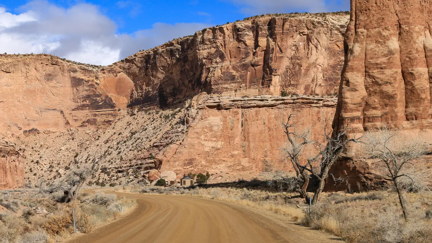
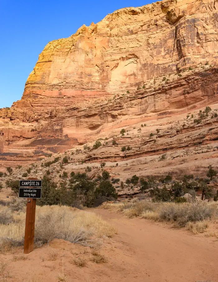
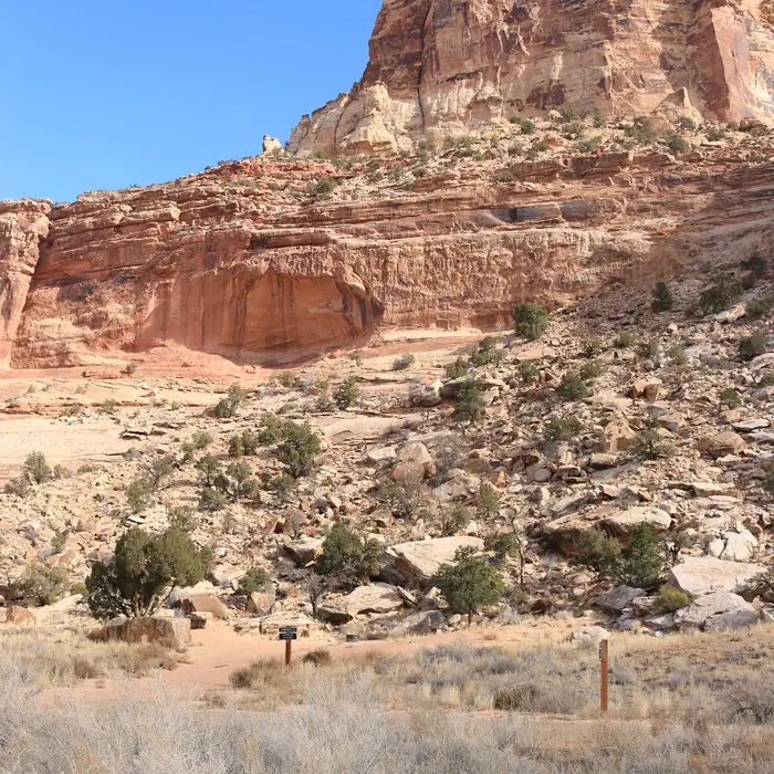
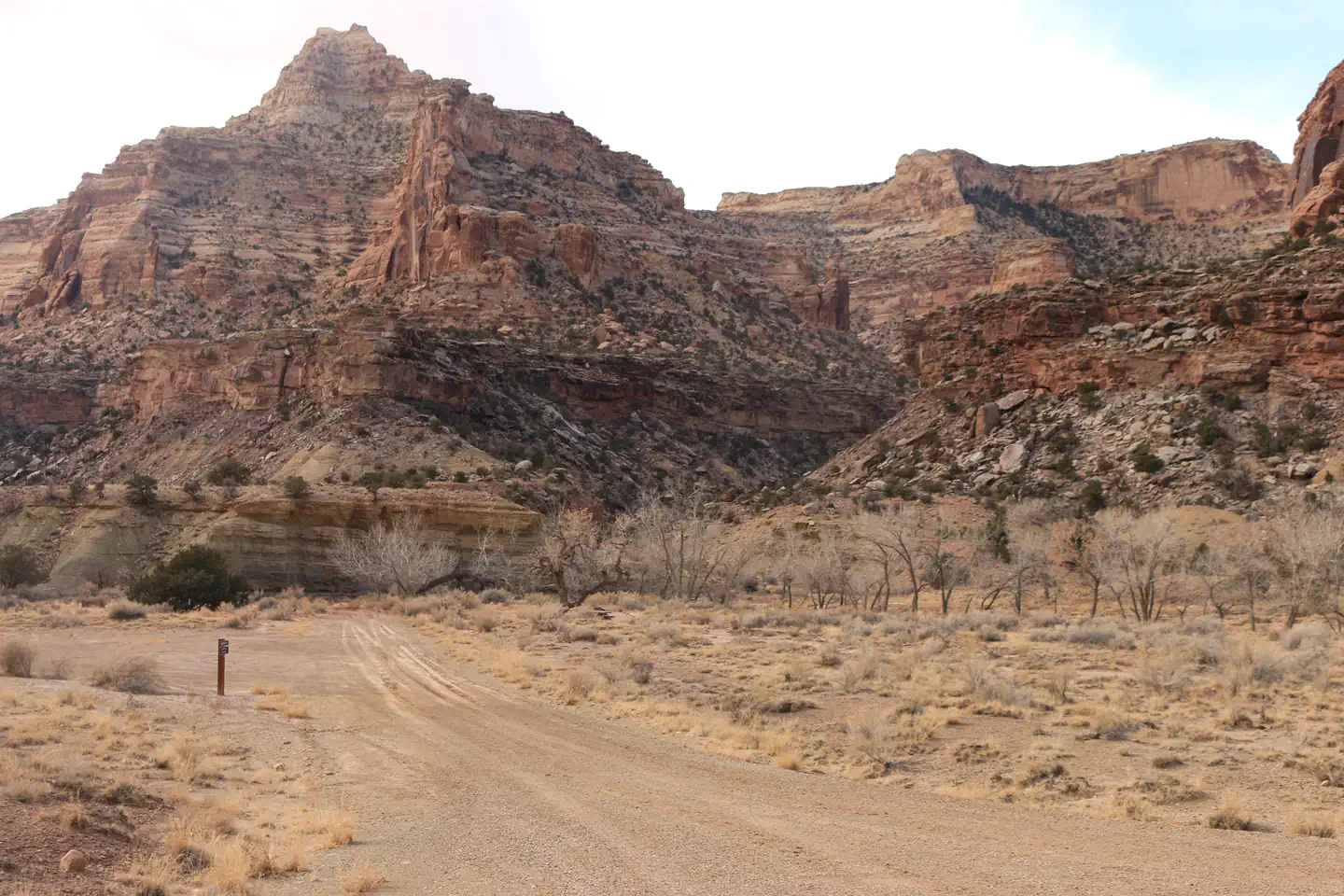
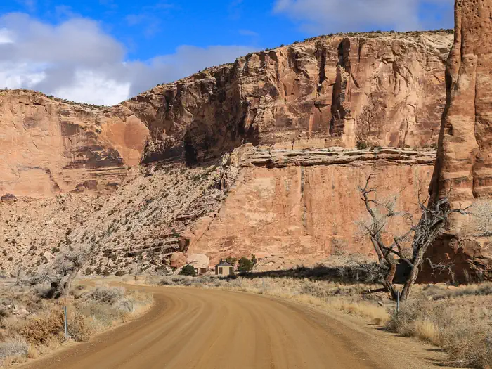
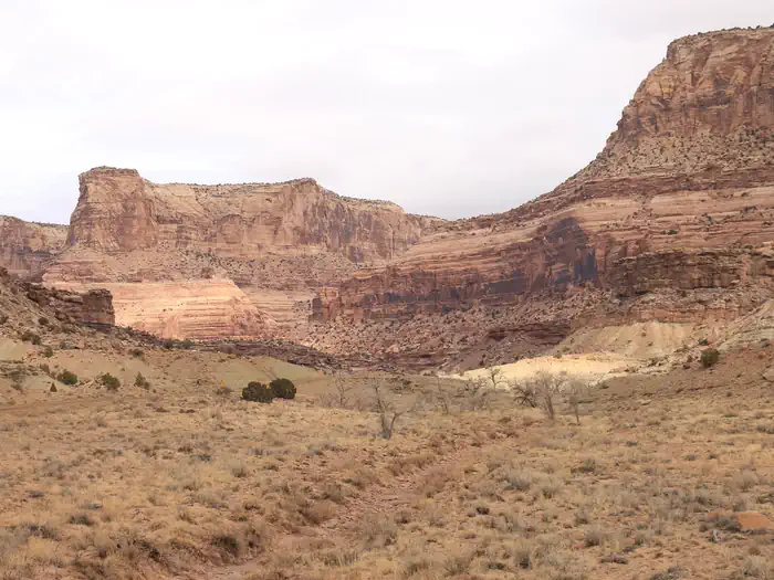
A dirt road with a sign for Campsite 26 leads towards the base of an orange sandstone cliff — BLM/2024Two campsites are tucked into an alcove surrounded by tan cliffs and slope of rockfall — BLM/2024Tan sandstone cliffs rise up behind a gravel road with a campsite on one side and bare cottonwood trees on the other. — BLM/2024A dirt road cuts through a wide canyon of orange cliffs with a bathroom in the distance. — BLM/2024A wide canyon with orange and tan cliffs and bare cottonwoods following a dry creekbed at the bottom — BLM/2024
How to Get There
This campground is located 15 miles from the nearest paved road. County roads in the San Rafael Swell are generally well-maintained but may be impassible for two-wheel drive vehicles in wet or icy conditions. Please travel safely and responsibly. Contact the BLM for route conditions. From Huntingdon: Take Center Street east out of Huntingdon. Turn left onto Emery County Rd. 332 after approximately three miles, following signs for San Rafael Swell access. Continue straight on this road for 12 miles as it turns into gravel, traveling east and then south until it intersects with the Green River Cutoff Road (Emery Co. Rd 401) at the Buckhorn Information Center, which has multiple kiosks, vault toilets, and a large staging area. Turn left and continue straight for another 2.4 miles, and then turn right at the sign for Buckhorn Draw. The north information station at Campsite 1 is in approximately 1 mile. From Castledale: Go north out of Castle Dale on Highway 10 and turn right on the Green River Cutoff Road, about 1 mile out and signed for San Rafael Swell access. Continue straight for 13 miles to the Buckhorn Information Center and then 2.4 more miles to the signed intersection with Buckhorn Draw. From Highway 191: Turn west onto the Green River Cutoff Road midway between mile markers 283 and 284. Stay straight for 28 miles until the signed intersection with Buckhorn Draw is reached. From I-70: From Exit 131 (signed for Temple Mountain Rd. and Sinbad Rd.), go north and follow Buck
Download your route in advance via Gaia, Caltopo, or OSM-based apps.
Recommendations adapt to the current forecast + trail stats. Use them as a starting point — local conditions, your experience, and the time of day you start all matter.
Plan Your Visit to Buckhorn Draw
Heading to Buckhorn Draw? A few things to know before you go:
Reservations: popular sites fill up fast — check Recreation.gov 6 months in advance
Fees: day-use and camping fees vary; check current rates on the official park page
Trash & pack-out: follow Leave No Trace principles
Wildlife: store food in bear boxes where provided; never feed wildlife
Weather: the 5-day forecast above is updated every 6 hours; verify just before you go
Frequently Asked Questions
Do I need a reservation for Buckhorn Draw?
No central reservation system listed for Buckhorn Draw. Check the official page (https://www.recreation.gov/camping/campgrounds/10283369) for the latest entry policy and availability.
How many campsites are at Buckhorn Draw?
Buckhorn Draw has 33 campsites. Site amenities (hookups, vehicle limits, ADA access) vary — see the individual campsite pages for details.
How do I get to Buckhorn Draw?
This campground is located 15 miles from the nearest paved road. County roads in the San Rafael Swell are generally well-maintained but may be impassible for two-wheel drive vehicles in wet or icy conditions. Please travel safely and responsibly. Contact the BLM for route conditions. From Huntingdon: Take Center Street east out of Huntingdon. Turn left onto Emery County Rd. 332 after approximately…