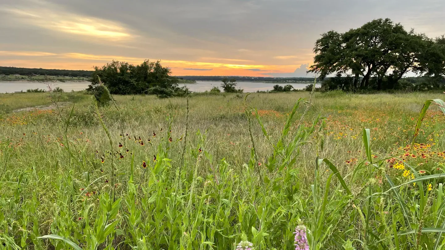
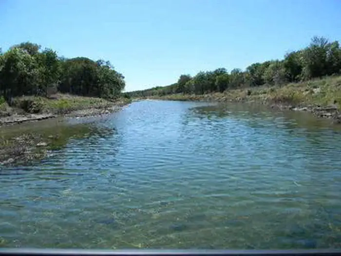
Overview Tejas Park sits on the south side of Georgetown Lake in the Hill Country of Texas, about 25 miles north of Austin. Tejas park sits upon the south bank of the North San Gabriel River offering good opportunities for fishing, wading or floating and features plenty of large, grassy open areas for running around an…
Overview Tejas Park sits on the south side of Georgetown Lake in the Hill Country of Texas, about 25 miles north of Austin. Tejas park sits upon the south bank of the North San Gabriel River offering good opportunities for fishing, wading or floating and features plenty of large, grassy open areas for running around and enjoying the scenic Texas countryside. Recreation Boating is the most popular way to enjoy the clear waters of the lake. Fishing is excellent in the area, and the lake contains Black bass, White bass, Hybrid stripers, White crappie, Channel catfish and Flathead catfish, but its most known for its abundance of Smallmouth bass. The San Gabriel River Trail is a 26 mile rugged trail winding through dense juniper forest, hardwood bottomlands and prairie grasslands. The trail wraps completely around Georgetown Lake via the dam and is open to both hiking and biking. Hunting is available for for small game like dove, waterfowl, rabbit and squirrel, as well as white tail deer. Hunting is by permit only.Facilities Tejas Park has 12 primitive campsites, allowing visitors to enjoy the outdoor experience with the added convenience of a picnic table with grills and fire rings. A Group Area is available for use by larger groups (maximum 25 people). The group site does not have a shelter. Natural Features Lake Georgetown is a reservoir on the north fork of the San Gabriel River in central Texas. The dam was completed in 1979 to provide flood control and water supply for the nearby community of Georgetown, and now provides countless recreation opportunities for outdoor enthusiasts. Nearby Attractions The nearby town of Georgetown offers gas, groceries and more. The historic downtown square district has shops and restaurants, and concerts and events are held on a regular basis. Additionally, Austin is located just 25 miles from the lake, offering countless tourist attractions.Charges & Cancellations Cancellations: Once a reservation date has begun, customers cannot ch
Photos
Water Safety — USACETEJAS PARK
How to Get There
From I-35, take Williams Drive west, then turn south on Farm to Market Rd 3405. Turn east on County Rd 258 and continue across the North San Gabriel River. Turn left into Tejas Park.
Download your route in advance via Gaia, Caltopo, or OSM-based apps.
Recommendations adapt to the current forecast + trail stats. Use them as a starting point — local conditions, your experience, and the time of day you start all matter.
Plan Your Visit to TEJAS PARK
Heading to TEJAS PARK? A few things to know before you go:
Reservations: popular sites fill up fast — check Recreation.gov 6 months in advance
Fees: day-use and camping fees vary; check current rates on the official park page
Trash & pack-out: follow Leave No Trace principles
Wildlife: store food in bear boxes where provided; never feed wildlife
Weather: the 5-day forecast above is updated every 6 hours; verify just before you go
Frequently Asked Questions
Do I need a reservation for TEJAS PARK?
No central reservation system listed for TEJAS PARK. Check the official page (https://www.recreation.gov/camping/campgrounds/234643) for the latest entry policy and availability.
How do I get to TEJAS PARK?
From I-35, take Williams Drive west, then turn south on Farm to Market Rd 3405. Turn east on County Rd 258 and continue across the North San Gabriel River. Turn left into Tejas Park.