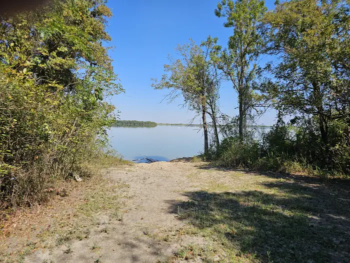
Overview Willis Creek is the ideal place for campers looking for a variety of accommodations. A group campground and five equestrian sites are available, in addition to a row of standard camping sites. Granger Lake is a popular recreational destination, especially for boating and fishing. In fact, it's one of the best …
Overview Willis Creek is the ideal place for campers looking for a variety of accommodations. A group campground and five equestrian sites are available, in addition to a row of standard camping sites. Granger Lake is a popular recreational destination, especially for boating and fishing. In fact, it's one of the best lakes in the region for crappie and white bass fishing. Recreation Boating and fishing are the most popular activities for campers. Horseback riders have six trails to explore in the Willis Creek Equestrian Area, ranging from 1 to 5.5 miles in length. Facilities Equestrian sites do not have electric or water hookups. Standard sites are equipped with 20/30 electrical. Four of the standard sites are equipped with sewer drops at the campsites. The group campsite fits 50 people and is equipped with water and 20 amp electric. No RV hookups are available at the group shelter. Natural Features Granger Lake, formed by a dam completed in 1980, is fed by the San Gabriel River and Willis Creek. The campground sits on the Willis Creek arm of the lake. The maximum surface area of the lake is 11,000 acres and the shoreline is surrounded by the gently rolling hills of the Texas Blackland Prairie. Nearby Attractions The Pecan Grove Wildlife Area, San Gabriel Wildlife Area, Sore Finger Wildlife Area, and Willis Creek Wildlife Area border the lake. Bring binoculars for birding opportunities.
Photos
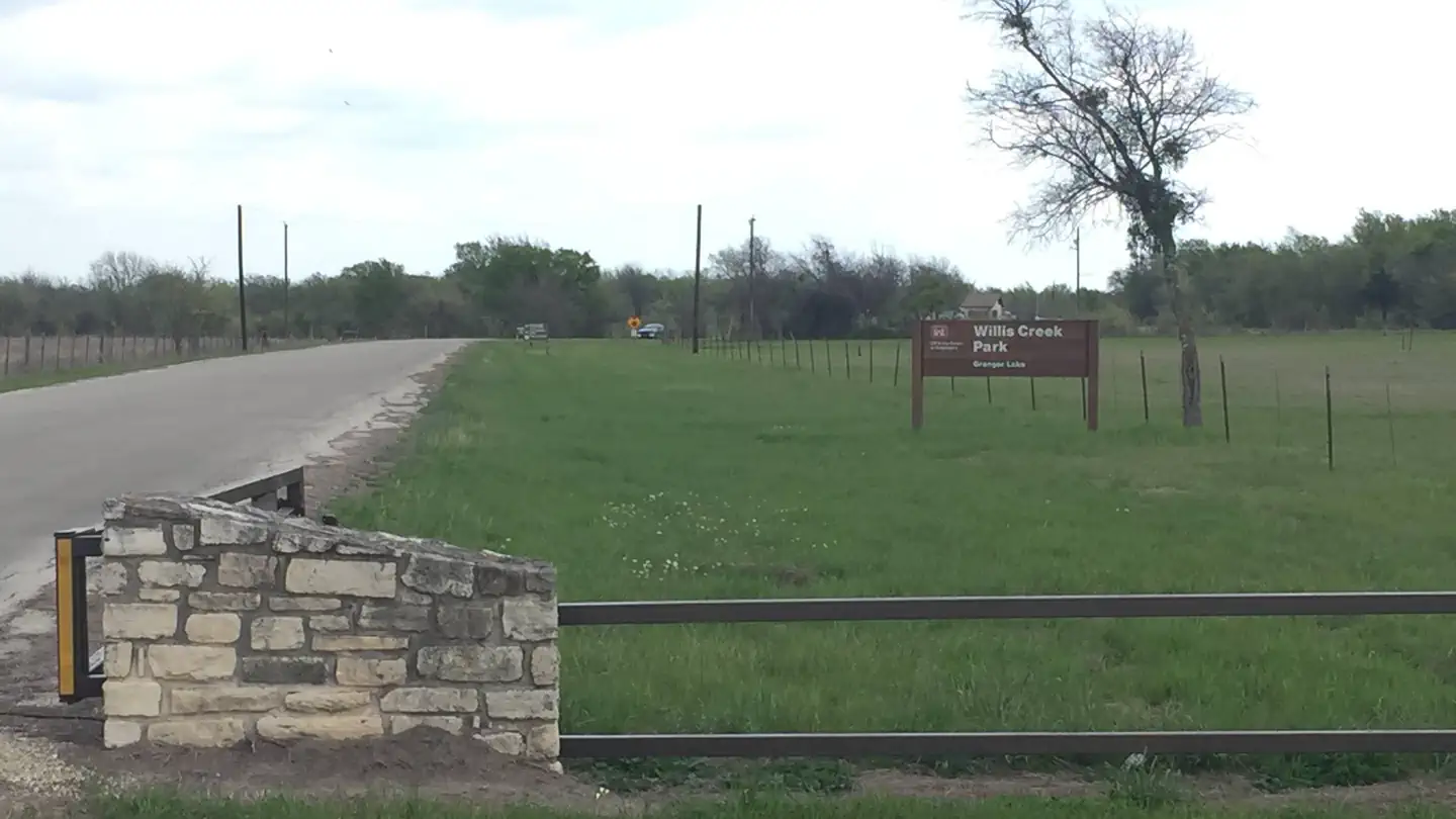
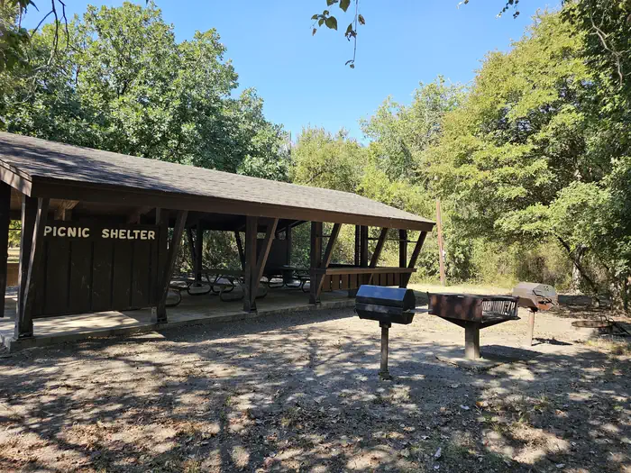
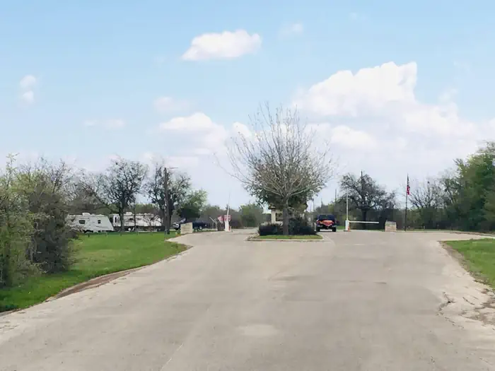
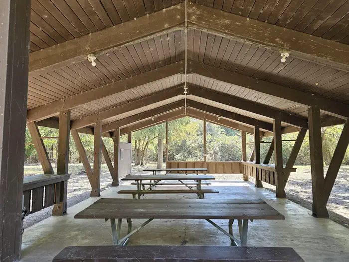
Willis Creek 3 — GA StaffWillis Creek Gatehouse — Willis Creek Gatehouse Willis Creek — GA StaffWillis Creek 2 — GA Staff
How to Get There
From Interstate 35, take Highway 95. Go north on Highway 95 to County Road 346. Turn right on County Route 346 and go 4 miles to the park entrance. Follow signs.
Download your route in advance via Gaia, Caltopo, or OSM-based apps.
Recommendations adapt to the current forecast + trail stats. Use them as a starting point — local conditions, your experience, and the time of day you start all matter.
Plan Your Visit to WILLIS CREEK
Heading to WILLIS CREEK? A few things to know before you go:
Reservations: popular sites fill up fast — check Recreation.gov 6 months in advance
Fees: day-use and camping fees vary; check current rates on the official park page
Trash & pack-out: follow Leave No Trace principles
Wildlife: store food in bear boxes where provided; never feed wildlife
Weather: the 5-day forecast above is updated every 6 hours; verify just before you go
Frequently Asked Questions
Do I need a reservation for WILLIS CREEK?
No central reservation system listed for WILLIS CREEK. Check the official page (https://www.recreation.gov/camping/campgrounds/232745) for the latest entry policy and availability.
How do I get to WILLIS CREEK?
From Interstate 35, take Highway 95. Go north on Highway 95 to County Road 346. Turn right on County Route 346 and go 4 miles to the park entrance. Follow signs.