Overview Longhorn Park Picnic Area overlooks Benbrook Lake & Dam in north-central Texas, easiley accessible from the Chisholm Trail Parkway and southwest Fort Worth. Along with a scenic overlook, a large group pavilion is available as well as picnicking, fishing and boat launching. Recreation The large group pavilion i…
Overview Longhorn Park Picnic Area overlooks Benbrook Lake & Dam in north-central Texas, easiley accessible from the Chisholm Trail Parkway and southwest Fort Worth. Along with a scenic overlook, a large group pavilion is available as well as picnicking, fishing and boat launching. Recreation The large group pavilion is popular for family and group activitries. Individual picnic sites and boat launching is also available in the park. The nearby spillway cut for the dam is a popular fossil-hunting locaiotn where visitors can search rof Cretaceous clams and coral remnants form 85 million yeats ago. Facilities The large picnic shelter can accommodate up to 100 guests, with restrooms, available parking, access to trails and lake shoreline. There is no electricity on site. Natural Features Longhorn Park is on the high rocky bluffs of the Clear Fork, overlooking the southeast end of the dam. Nearby Attractions City lease areas on the lake's north end offer golf courses, ball fields, tennis & volleyball courts, children's play areas, trail access and other facilities. Fort Worth's renowned Cultural & Museum District, Stockyards National Historic District, Botanical Gardens, Zoo, Bass Performance Hall, and downtown Sundance Square, are all only a short drive.
Photos
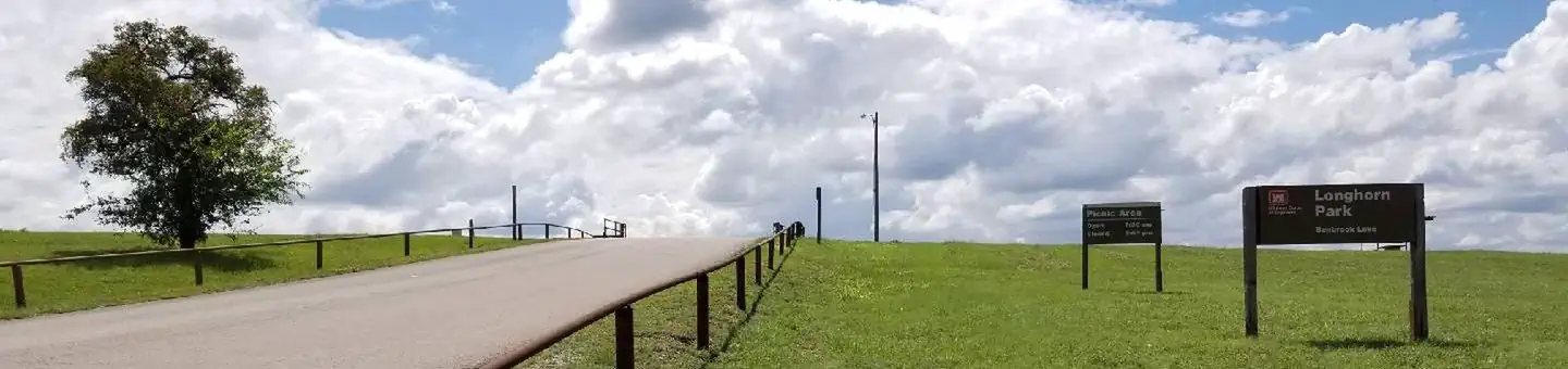
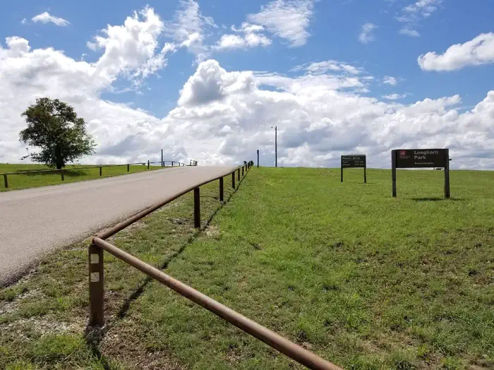
Longhorn Park entrance driveway and park sign — U.S. Army Corps of Engineers
How to Get There
From Interstate 20 or 820, take exit 432A for Bryant Irvin Road, and go 3 miles (1.8 km) south to the intersection with Dirks Road / Altabesa Boulevard. Turn right or west and go 1 mile (1.2 km) to the park and Lake Office which will be on the left.
Download your route in advance via Gaia, Caltopo, or OSM-based apps.
🛍
Dry bags for electronics
Phone, camera, and snacks should stay dry.
Recommendations adapt to the current forecast + trail stats. Use them as a starting point — local conditions, your experience, and the time of day you start all matter.
Plan Your Visit to LONGHORN
Heading to LONGHORN? A few things to know before you go:
Reservations: popular sites fill up fast — check Recreation.gov 6 months in advance
Fees: day-use and camping fees vary; check current rates on the official park page
Trash & pack-out: follow Leave No Trace principles
Wildlife: store food in bear boxes where provided; never feed wildlife
Weather: the 5-day forecast above is updated every 6 hours; verify just before you go
Frequently Asked Questions
Do I need a reservation for LONGHORN?
No central reservation system listed for LONGHORN. Check the official page (https://www.recreation.gov/camping/campgrounds/232633) for the latest entry policy and availability.
How many campsites are at LONGHORN?
LONGHORN has 1 campsites. Site amenities (hookups, vehicle limits, ADA access) vary — see the individual campsite pages for details.
How do I get to LONGHORN?
From Interstate 20 or 820, take exit 432A for Bryant Irvin Road, and go 3 miles (1.8 km) south to the intersection with Dirks Road / Altabesa Boulevard. Turn right or west and go 1 mile (1.2 km) to the park and Lake Office which will be on the left.