Old Hickory, Tennessee · Wilson County · Campground
Overview Shutes Branch is located on the popular Old Hickory Lake, just a short drive outside of Nashville. There's plenty of opportunities for boating, biking, swimming and fishing, as well as sailing. Recreation Bikers of all skills levels will enjoy the Shutes Branch Mountain Biking Trail, accessed from the picnic a…
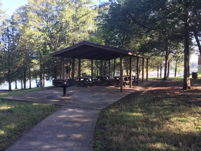
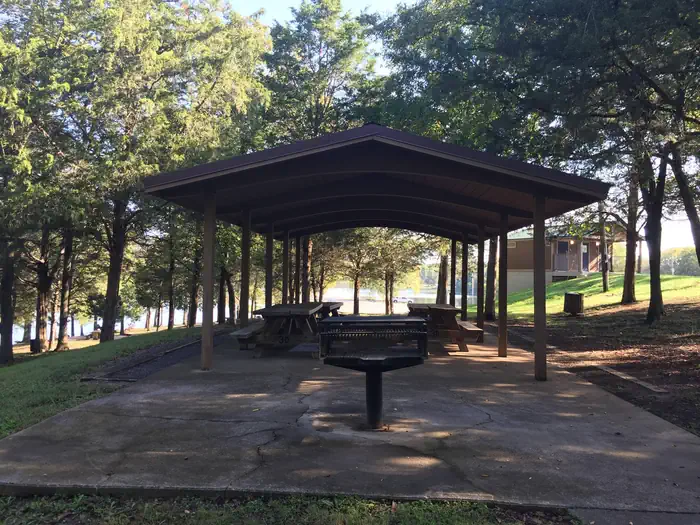
Overview Shutes Branch is located on the popular Old Hickory Lake, just a short drive outside of Nashville. There's plenty of opportunities for boating, biking, swimming and fishing, as well as sailing. Recreation Bikers of all skills levels will enjoy the Shutes Branch Mountain Biking Trail, accessed from the picnic area. The first part of the trail is ideal for beginners, while the second portion will challenge more experienced cyclists with rockier terrain, ledges and tight turns. With its close vicinity to the water, Fishing and swimming are consistently popular activities at Shutes Branch. Facilities Shutes Branch offers various picnic sites, a boat launch and fishing platform. The reservable group picnic shelter holds 50 guests and comes with electric hookups. Natural Features Old Hickory Lake is a 22,500 acre reservoir created by the Old Hickory Lock and Dam on the Cumberland River. The lake is named after former president Andrew Jackson, a Tennessee-native nicknamed "Old Hickory" for his tough and aggressive personality. The lake features 440 miles of scenic shoreline, surrounded by wooded flatlands and plenty of access points. Nearby Attractions Nearby fishing piers attract anglers at Rockland, Sanders Ferry, Shutes Branch and Bledsoe Creek State Park. History buffs will enjoy a day trip to The Hermitage, a National Historic Landmark and home of former president, Andrew Jackson, during the early 19th century.
Photos
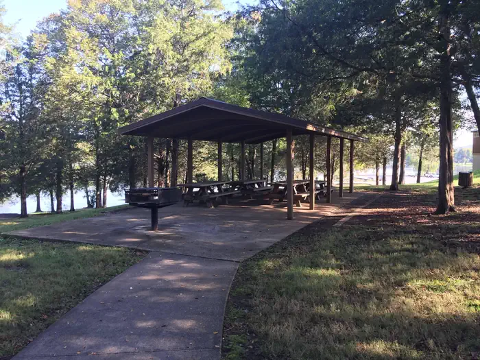
SHUTES BRANCH-SHELTER 1 — OLD HICKORY LAKESHUTES BRANCH-SHELTER 1 — OLD HICKORY LAKE
How to Get There
From downtown Nashville get on I-40 E/I-65 S for .9 miles. Follow I-40 E for 12.2 miles and then take exit 221A from I-40 E. Take Andrew Jackson Pkwy which turns into Saundersville Rd for 6.5 miles. Shutes Branch Recreation Area will be located on the right side of the road.
Download your route in advance via Gaia, Caltopo, or OSM-based apps.
Recommendations adapt to the current forecast + trail stats. Use them as a starting point — local conditions, your experience, and the time of day you start all matter.
Plan Your Visit to SHUTES BRANCH
Heading to SHUTES BRANCH? A few things to know before you go:
Reservations: popular sites fill up fast — check Recreation.gov 6 months in advance
Fees: day-use and camping fees vary; check current rates on the official park page
Trash & pack-out: follow Leave No Trace principles
Wildlife: store food in bear boxes where provided; never feed wildlife
Weather: the 5-day forecast above is updated every 6 hours; verify just before you go
Frequently Asked Questions
Do I need a reservation for SHUTES BRANCH?
No central reservation system listed for SHUTES BRANCH. Check the official page (https://www.recreation.gov/camping/campgrounds/232705) for the latest entry policy and availability.
How do I get to SHUTES BRANCH?
From downtown Nashville get on I-40 E/I-65 S for .9 miles. Follow I-40 E for 12.2 miles and then take exit 221A from I-40 E. Take Andrew Jackson Pkwy which turns into Saundersville Rd for 6.5 miles. Shutes Branch Recreation Area will be located on the right side of the road.