Overview Thunder Rock Campground is located 1.8 miles northwest of the Ocoee Whitewater Center, just behind TVA Ocoee Powerhouse Number 3. Nestled alongside the Ocoee River, this facility provides 37 regular campsites for popups and RVs less than 20 feet with no elctricity , ONLY site 9 is an electric site for less tha…
Overview Thunder Rock Campground is located 1.8 miles northwest of the Ocoee Whitewater Center, just behind TVA Ocoee Powerhouse Number 3. Nestled alongside the Ocoee River, this facility provides 37 regular campsites for popups and RVs less than 20 feet with no elctricity , ONLY site 9 is an electric site for less than 20 feet at 30 amp, and one group campsite. Thunder Rock is a popular destination for both whitewater and trail enthusiasts. Recreation Trailhead parking is available for the nearby Tanasi trail system, which includes approximately 30 miles of hiking and mountain biking trails. This system can be reached via Thunder Rock Express, Dry Pond Lead, or the Rhododendron Trail. Thunder Rock also provides access to the Benton-McKaye Trail.Facilities Picnic tables, grills, and lantern posts are located at each campsite. Water hydrants are located throughout the campground. Bathhouses provide flush toilets and warm showers. The campground host is located at the campground entrance next to the main bathhouse. Thunder Rock Campground Map and Guide Natural Features The Cherokee National Forest is located in eastern Tennessee and stretches from Chattanooga to Bristol along the North Carolina border. The 650,000-acre swath of land is Tennessee's only national forest. It lies in the heart of the Southern Appalachians and is home to more than 20,000 species of plants and animals, as well as many rivers, creeks and lakes. Nearby Attractions The nearby Ocoee River put-in and Ocoee Whitewater Center, home of the 1996 Olympic Canoe/Kayak-Slalom Competition, makes this an ideal location for rafters and kayakers alike. Charges & Cancellations All sites have a $18.00 cancellation and reservation fee.
Photos
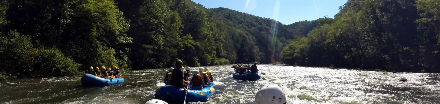
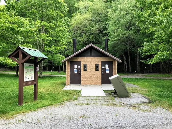
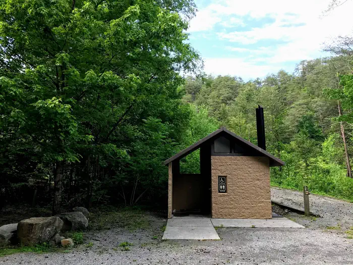
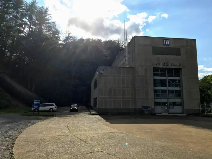
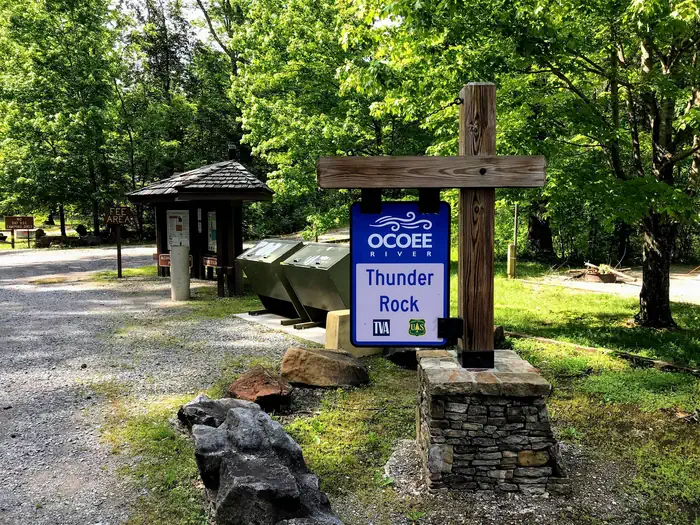
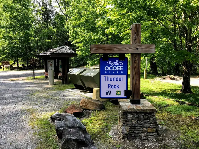
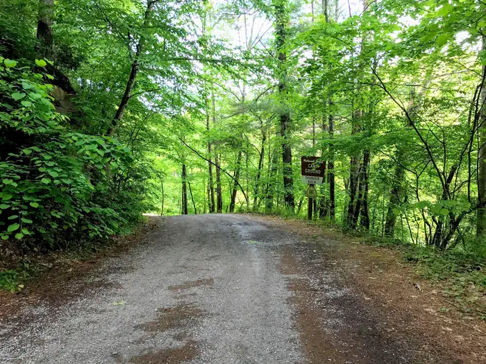
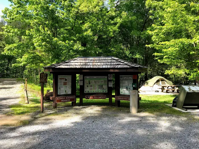
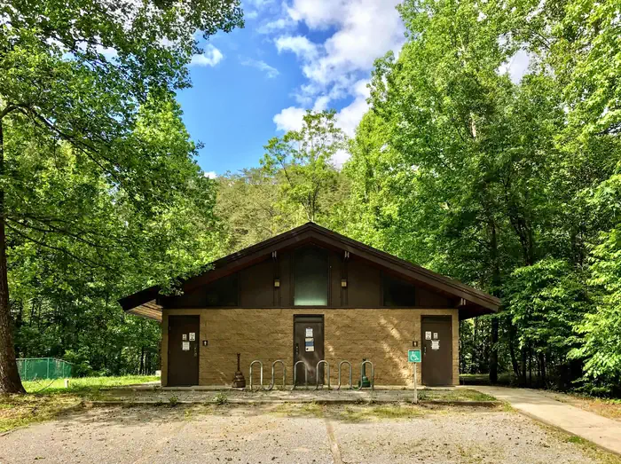
Whitewater rafting at the nearby Ocoee Whitewater Center — US Forest ServiceVault toilet in campground — US Forest ServiceVault toilet near entrance of campground — US Forest ServiceCampground entrance just past TVA Ocoee No. 3 Powerhouse — US Forest ServiceEntrance sign to campground — US Forest ServiceThunder Rock Campground — US Forest ServiceCampground entrance — US Forest ServiceCampground information kiosk — US Forest ServiceFlush toilets and showers — US Forest Service
How to Get There
From the Ocoee Ranger Station, turn left onto Highway 64 eastbound and travel 10.9 miles to the TVA Ocoee Powerhouse Number 3. Turn right and cross the bridge to reach the campground on the right.
Download your route in advance via Gaia, Caltopo, or OSM-based apps.
Recommendations adapt to the current forecast + trail stats. Use them as a starting point — local conditions, your experience, and the time of day you start all matter.
Plan Your Visit to THUNDER ROCK CAMPGROUND
Heading to THUNDER ROCK CAMPGROUND? A few things to know before you go:
Reservations: popular sites fill up fast — check Recreation.gov 6 months in advance
Fees: day-use and camping fees vary; check current rates on the official park page
Trash & pack-out: follow Leave No Trace principles
Wildlife: store food in bear boxes where provided; never feed wildlife
Weather: the 5-day forecast above is updated every 6 hours; verify just before you go
Frequently Asked Questions
Do I need a reservation for THUNDER ROCK CAMPGROUND?
No central reservation system listed for THUNDER ROCK CAMPGROUND. Check the official page (https://www.recreation.gov/camping/campgrounds/251938) for the latest entry policy and availability.
How do I get to THUNDER ROCK CAMPGROUND?
From the Ocoee Ranger Station, turn left onto Highway 64 eastbound and travel 10.9 miles to the TVA Ocoee Powerhouse Number 3. Turn right and cross the bridge to reach the campground on the right.