Overview Located in the Chilhowee Recreation Area, Chilhowee Campground offers a multitude of camping opportunities for both RV and tent sites, many with electric hookups. The day-use area includes McKamy Lake, a swim area with sand beach, picnic sites, a group picnic area, and a bathhouse. Be Aware; Do not use GPS dir…
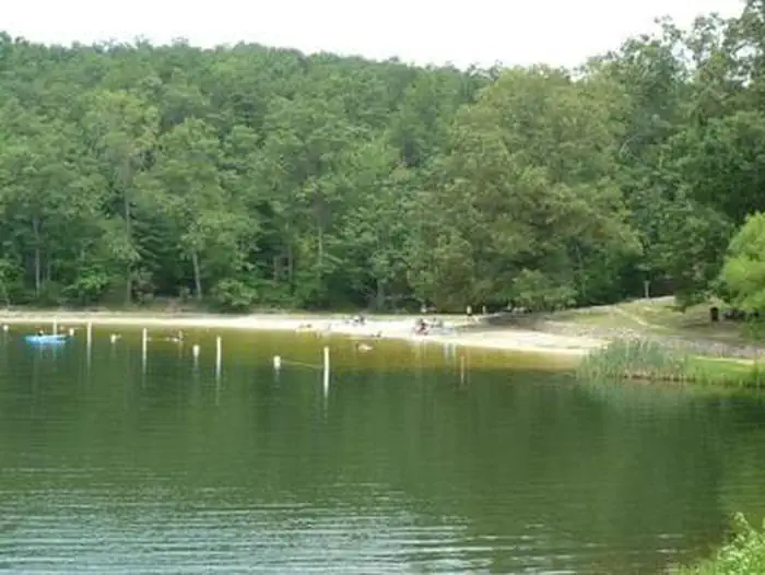
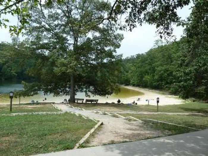
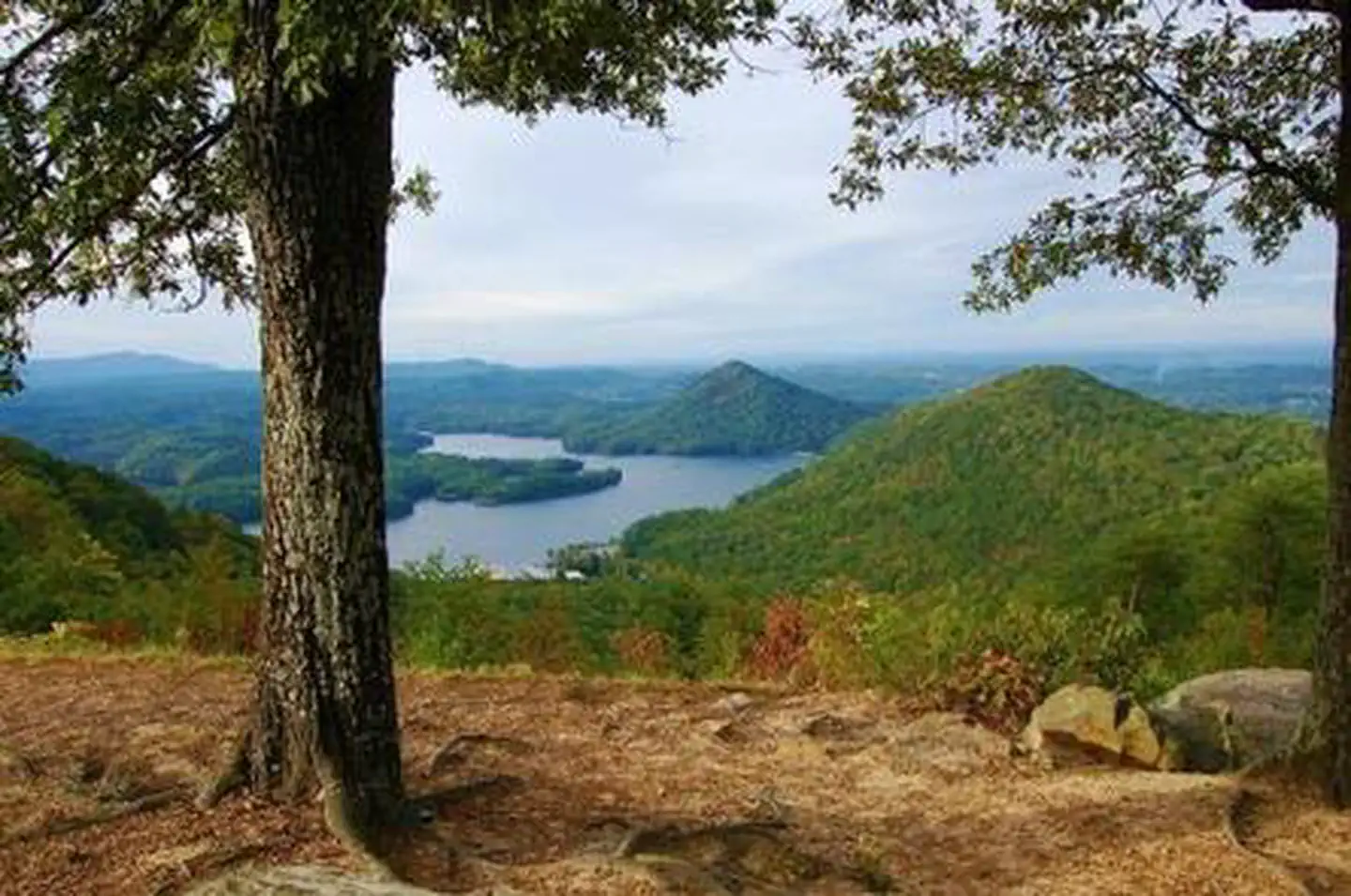
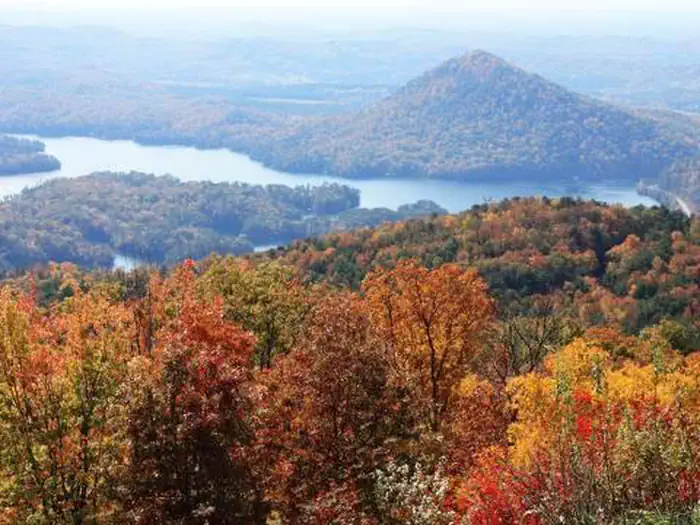
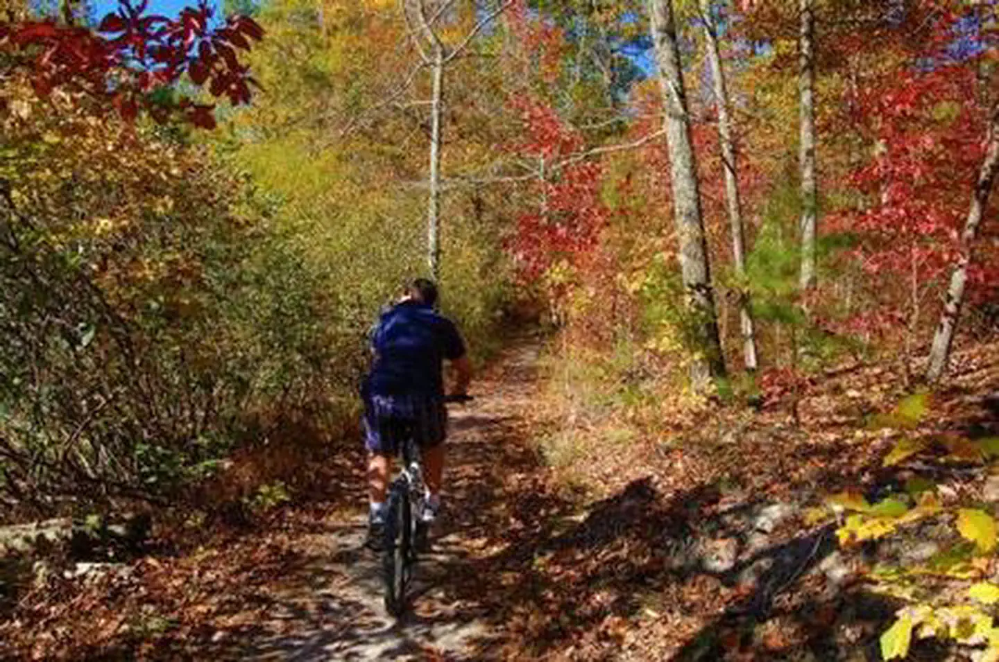
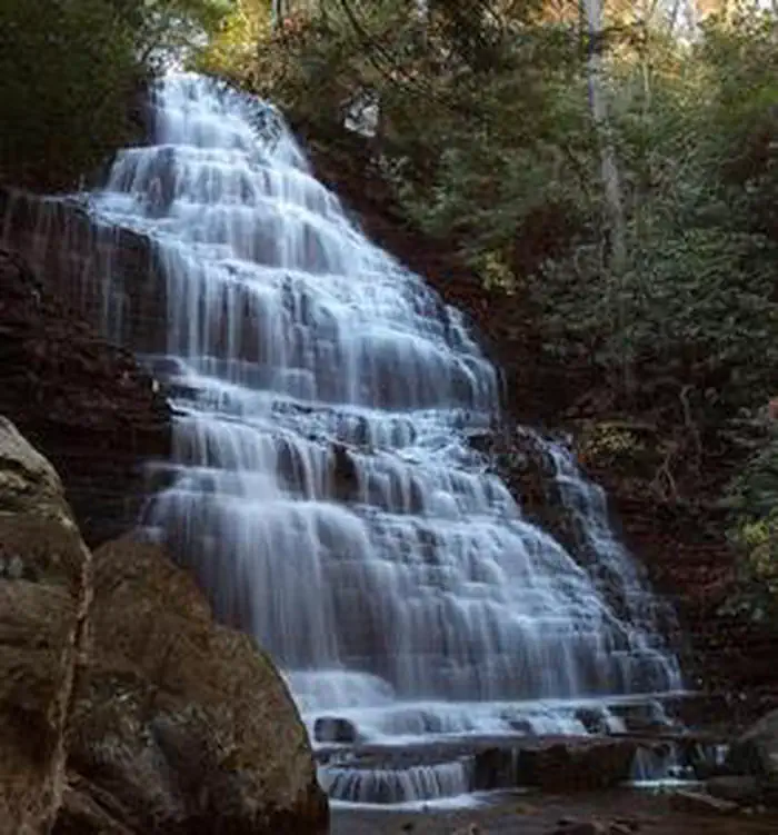
Overview Located in the Chilhowee Recreation Area, Chilhowee Campground offers a multitude of camping opportunities for both RV and tent sites, many with electric hookups. The day-use area includes McKamy Lake, a swim area with sand beach, picnic sites, a group picnic area, and a bathhouse. Be Aware; Do not use GPS directions: GPS coordinates will direct you up Benton Springs Rd. This route is not recommended. We recommend using Forest Service Road 77 to reach the recreation area. It's important to note, this facility requires driving 7 miles up to Chilhowee Campground on a narrow, winding road. Do not use the Benton Springs Access Road to the campground as this is an unpaved and dangerous road for RVs. Inexperienced RV drivers may have difficulties getting to and around the site. Recreation Chilhowee Recreation Area is an excellent hub for hiking and mountain biking in the Chilhowee Trails System, fishing in McKamy Lake, and wildlife viewing without having to get in your car. The 7-acre McKamy Lake offers a swim area with a sand beach, and fishing from the bank. Boats are allowed, but gasoline motors are not. Within the recreation area are approximately 25 miles of hiking and biking trails, and a scenic waterfall. The views and lake are beautiful, especially hiking to Benton Falls via a 1.5 mile in and out moderate trail. On the drive up to the campground, stop at one of the many observation overlooks to see beautiful mountain settings. Wildlife is abundant in this area, so have your camera ready and tread lightly. Chilhowee Recreation Area Map and Guide Facilities Picnic tables, grills, and lantern posts are located at each site. Bathhouses providing flush toilets and warm showers are available in each loop, as well as in the day use area. Water hydrants are located throughout the campground. An RV dump station is located at the end of E Loop. Loops A and B offer walk-in tent sites with electricity.Be Aware; Do not use GPS directions: GPS coordinates will direct y
Photos
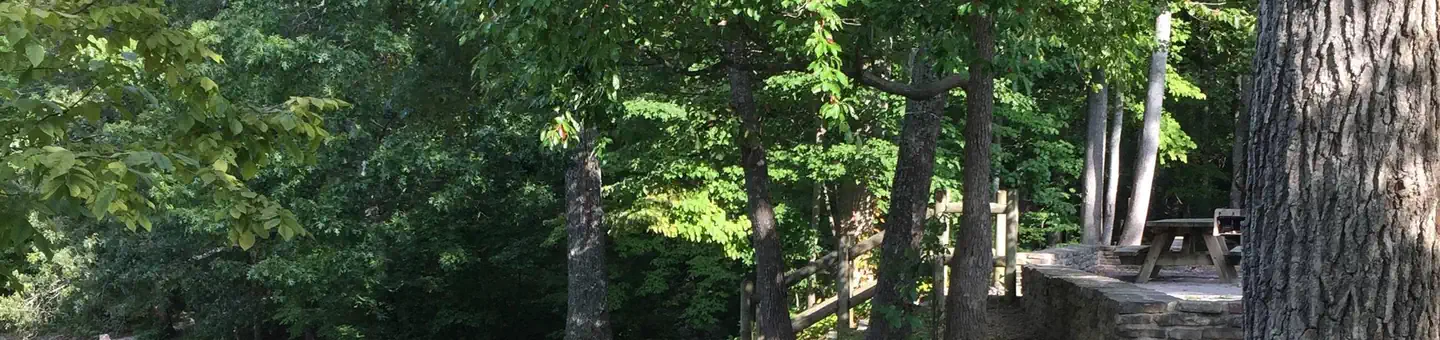
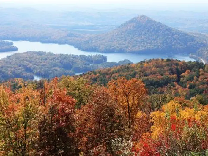
Chilhowee Beach Day Use Area — US Forest ServiceFall Color, Chilhowee Overlook — US Forest ServiceChilhowee Beach Day Use Area — US Forest ServiceSugarloaf Overlook — US Forest ServiceChilhowee Overlook — US Forest ServiceMcKamy Lake Trail — US Forest ServiceBenton Falls — US Forest Service
How to Get There
The campground is located on FDR 77/Oswald Dome Road. Be Aware; Do not use GPS directions: GPS coordinates will direct you up Benton Springs Rd. This route is not recommended. We recommend using Forest Service Road 77 to reach the recreation area. It's important to note, this facility requires driving 7 miles up to Chilhowee Campground on a narrow, winding road. Do not use the Benton Springs Access Road to the campground as this is an unpaved and dangerous road for RVs. Inexperienced RV drivers may have difficulties getting to and around the site. From Highway 64/411 intersection travel east 7 miles, turn onto Forest Road 77, drive 7.5 miles to campground/recreation area. Do not use Benton Springs Road for access to the mountain.
Download your route in advance via Gaia, Caltopo, or OSM-based apps.
Recommendations adapt to the current forecast + trail stats. Use them as a starting point — local conditions, your experience, and the time of day you start all matter.
Plan Your Visit to CHILHOWEE CAMPGROUND
Heading to CHILHOWEE CAMPGROUND? A few things to know before you go:
Reservations: popular sites fill up fast — check Recreation.gov 6 months in advance
Fees: day-use and camping fees vary; check current rates on the official park page
Trash & pack-out: follow Leave No Trace principles
Wildlife: store food in bear boxes where provided; never feed wildlife
Weather: the 5-day forecast above is updated every 6 hours; verify just before you go
Frequently Asked Questions
Do I need a reservation for CHILHOWEE CAMPGROUND?
No central reservation system listed for CHILHOWEE CAMPGROUND. Check the official page (https://www.recreation.gov/camping/campgrounds/251723) for the latest entry policy and availability.
How do I get to CHILHOWEE CAMPGROUND?
The campground is located on FDR 77/Oswald Dome Road. Be Aware; Do not use GPS directions: GPS coordinates will direct you up Benton Springs Rd. This route is not recommended. We recommend using Forest Service Road 77 to reach the recreation area. It's important to note, this facility requires driving 7 miles up to Chilhowee Campground on a narrow, winding road. Do not use the Benton Springs Acces…