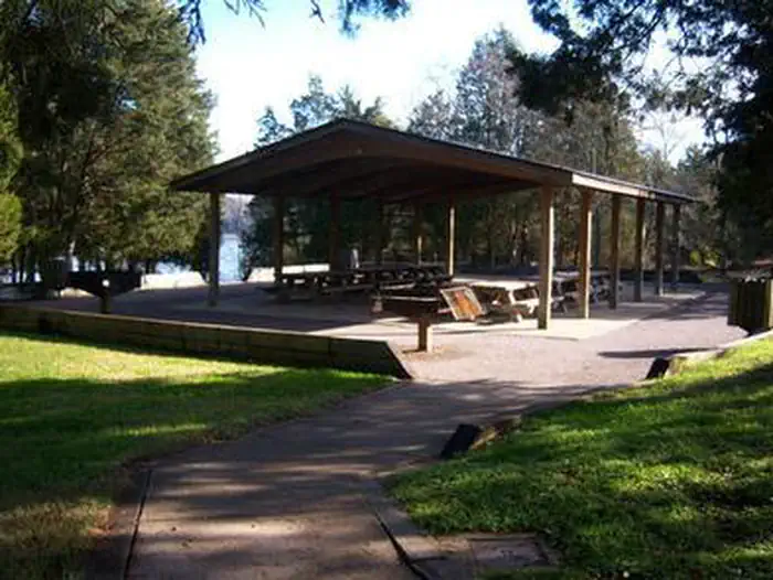
Overview Smith Springs Recreation Area is a lakeside oasis in the hills of middle Tennessee, providing visitors with countless recreational activities on the lake and in the surrounding woods and grasslands.Recreation The lake provides a variety of outdoor recreational opportunities for millions of visitors each year. …
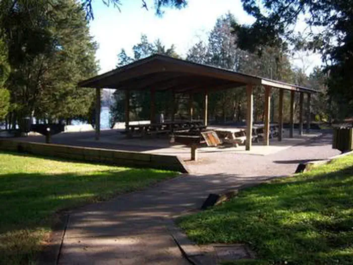
Overview Smith Springs Recreation Area is a lakeside oasis in the hills of middle Tennessee, providing visitors with countless recreational activities on the lake and in the surrounding woods and grasslands.Recreation The lake provides a variety of outdoor recreational opportunities for millions of visitors each year. Because of the temperate climate and relatively long recreation season, visitors have numerous activities to choose from, including fishing, hunting, picnicking, boating, canoeing, hiking, horseback riding and wildlife viewing. Fishing opportunities abound at J. Percy Priest Lake, with a wide variety of species available, including largemouth and smallmouth bass, crappie, striped bass, Cherokee bass, and white bass. Other species such as catfish, bluegill, bream and trout provide excellent opportunities for younger anglers. Nearby Anderson Road Fitness Trail is a paved trail winding a little over a mile through the cedar glade area beside the lake. Facilities Smith Springs Recreation Area offers a large group shelter for day use and can accommodate up to 50 guests. There is limited parking suitable only for 12 vehicles.Natural Features J. Percy Priest Dam and Lake was one of the first Corps of Engineers lakes to have recreation as part of its justification. The dam, completed in 1968, impounds 42 miles, with 14,200 surface acres of water. In soothing contrast to the sparkling waters of the lake are the adjacent 19,087 acres of grasslands and woodlands. A highlight of the region, the Cedar Glades Natural Area, is home to countless wildlife and plant species, including the Tennessee coneflower. Nearby Attractions J. Percy Priest Lake is conveniently located about 10 miles east of downtown Nashville, offering visitors countless cultural activities and the conveniences of a metro area.
Photos
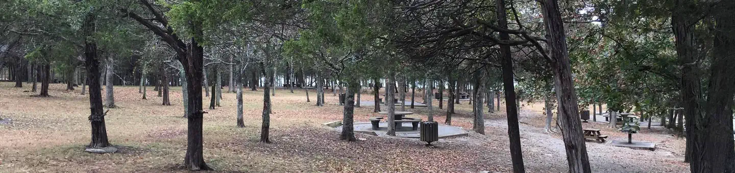
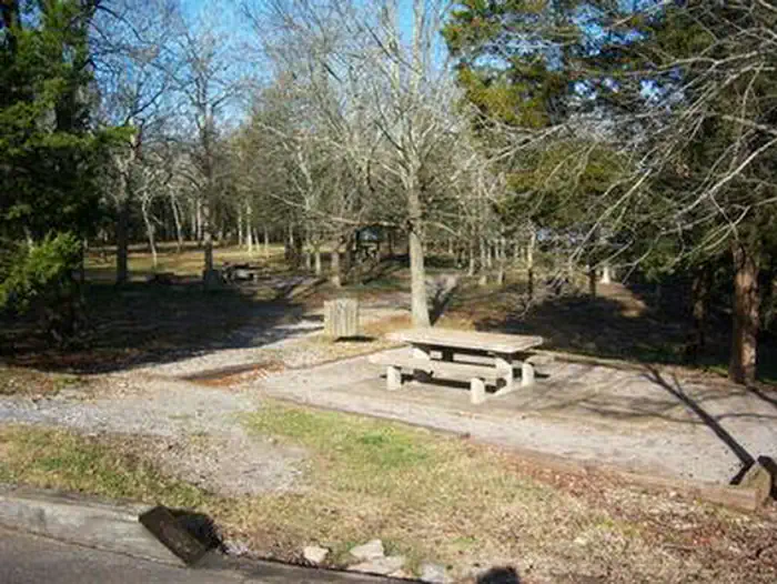
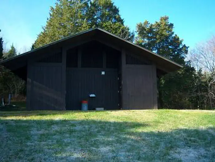
SMITH SPRINGS - picnic area — USACESMITH SPRINGS - RESTROOM — USACESMITH SPRINGS - GROUP SHELTER — USACESMITH SPRINGS - picnic area — USACE
How to Get There
From downtown Nashville, TN, take I-40 east 5 miles to exit 219. Turn right on Stewarts Ferry Pike, then left on Smith Springs Road. The recreation area is on the left after about 2 miles.
Download your route in advance via Gaia, Caltopo, or OSM-based apps.
🛍
Dry bags for electronics
Phone, camera, and snacks should stay dry.
Recommendations adapt to the current forecast + trail stats. Use them as a starting point — local conditions, your experience, and the time of day you start all matter.
Plan Your Visit to SMITH SPRINGS
Heading to SMITH SPRINGS? A few things to know before you go:
Reservations: popular sites fill up fast — check Recreation.gov 6 months in advance
Fees: day-use and camping fees vary; check current rates on the official park page
Trash & pack-out: follow Leave No Trace principles
Wildlife: store food in bear boxes where provided; never feed wildlife
Weather: the 5-day forecast above is updated every 6 hours; verify just before you go
Frequently Asked Questions
Do I need a reservation for SMITH SPRINGS?
No central reservation system listed for SMITH SPRINGS. Check the official page (https://www.recreation.gov/camping/campgrounds/233106) for the latest entry policy and availability.
How do I get to SMITH SPRINGS?
From downtown Nashville, TN, take I-40 east 5 miles to exit 219. Turn right on Stewarts Ferry Pike, then left on Smith Springs Road. The recreation area is on the left after about 2 miles.