Overview The Central Oregon Field Office of the Bureau of Land Management oversees four separate fee campgrounds within the John Day River Basin in Central Oregon. Service Creek and Muleshoe Campgrounds are located near Service Creek, Oregon along the John Day River and State Route 207. Big Bend and Lone Pine Campgroun…
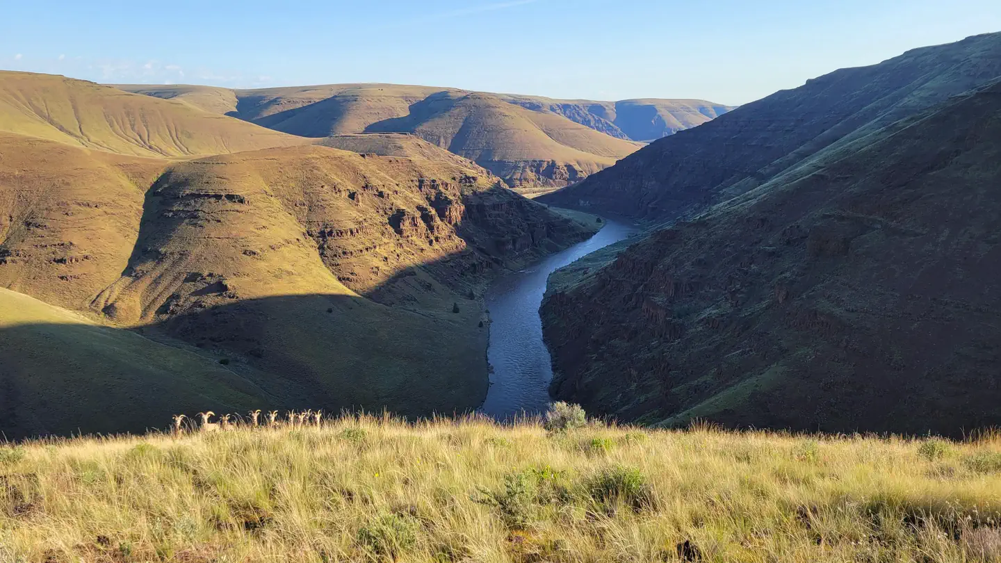
Overview The Central Oregon Field Office of the Bureau of Land Management oversees four separate fee campgrounds within the John Day River Basin in Central Oregon. Service Creek and Muleshoe Campgrounds are located near Service Creek, Oregon along the John Day River and State Route 207. Big Bend and Lone Pine Campgrounds are located between Kimberly and Monument along the North Fork of the John Day River and State Route 402. The region is rural and tends to be quiet except during spring boating and fall hunting seasons. At around 2,000 feet in elevation, you'll see mostly sage and juniper with the occasional ponderosa pine. This area is a high-desert, so expect highly variable weather conditions especially in the spring and fall. Mid-summer tends to be very hot, but the river is nearby if you need to cool off. The winter is often cold and still. Campgrounds are open year-round, and sites are first-come, first-served only. Reservations are not available. You must physically arrive at the campground to purchase and claim your campsite. Once on-site, you can pay for your campsite(s) by scanning the QR code using the Recreation.gov mobile app. The QR code is posted at the campground kiosk. There is no reliable cell service at any of the campgrounds. Download the free Recreation.gov mobile app on Android or iOS prior to your arrival. You will be able to reserve your campsite using the app even without cell service. Your payment will process once you return to cell service. The most reliable cell service in the region is in Spray. Fees can also be paid with check or cash using the fee envelope and drop box at each campground. Refer to the onsite campground kiosk for further instructions. Recreation Many travelers visit this region along the Journey Through Time Scenic Byway . Beginning in Biggs and ending in Baker City, Oregon, the Scenic Byway travels 286 miles through northcentral and eastern Oregon. John Day River Basin Developed Campgrounds make for a great resting po
Photos
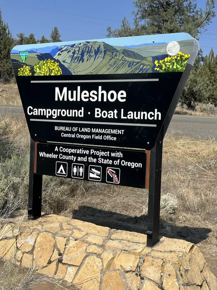
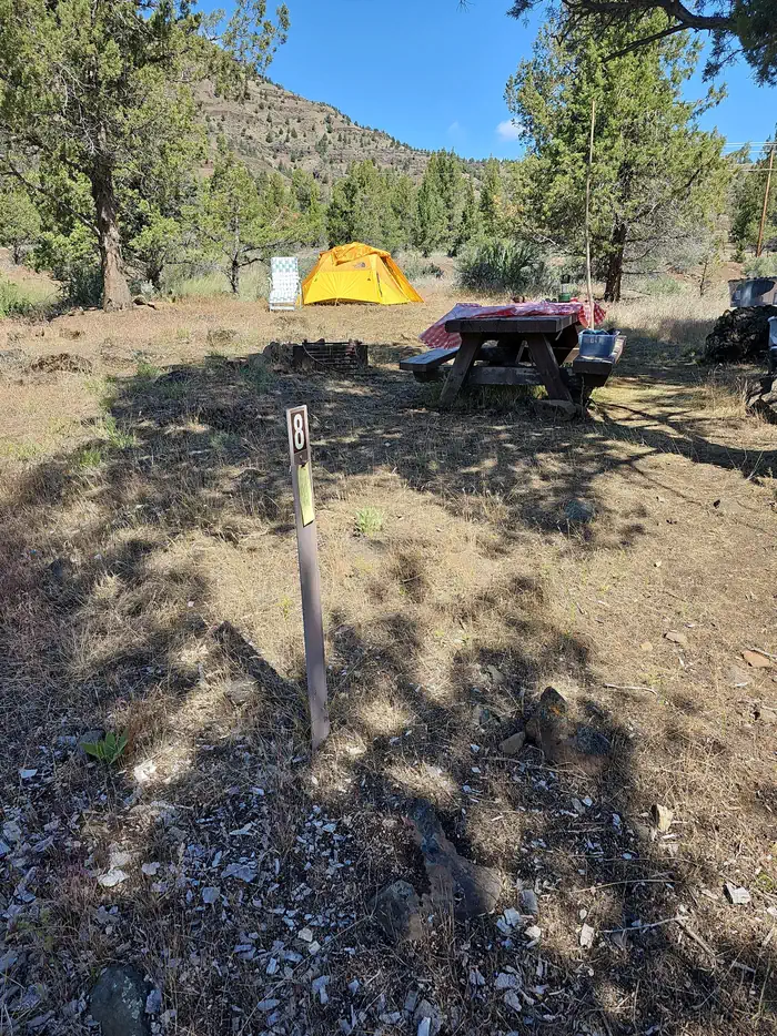
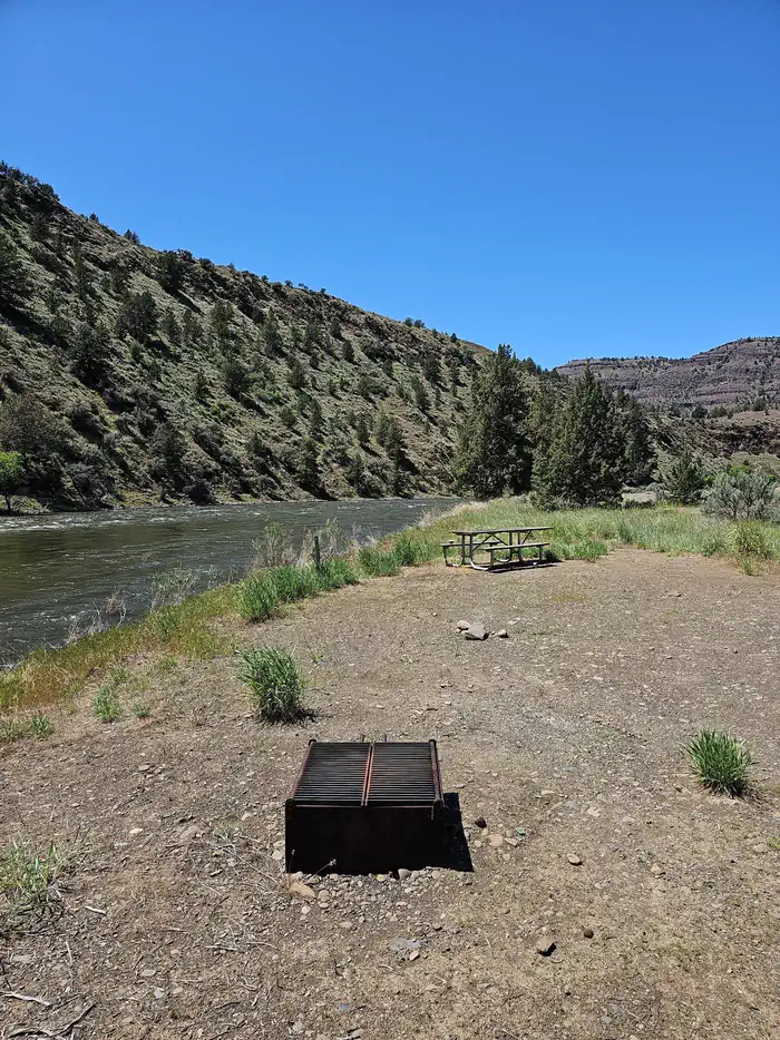
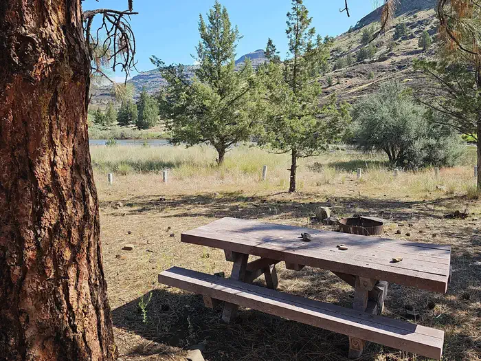
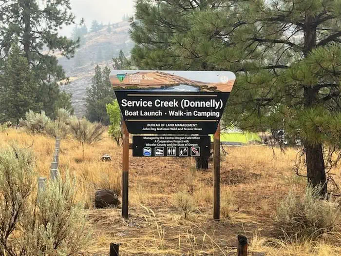
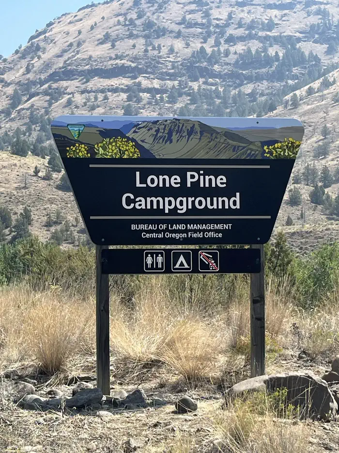
This photo shows the site id sign for Muleshoe Campground and Boat Launch. — BLMThis photo depicts a typical walk-in campsite at Muleshoe Campground. — BLMThis photo shows a typical campsite at Lone Pine with a large juniper, picnic table, and fire ring. — BLMThis photo depicts a typical campsite at Big Bend Campground. — BLMThis photo shows an example of a walk-in campsite at Service Creek with a picnic table and large ponderosa pine tree. — BLMThis photo depicts the Service Creek Boat Launch and Walk-in Camping site ID sign. — BLMThis imagine depicts the Lone Pine Campground site id sign. — BLM
How to Get There
Service Creek Campground: From Prineville, Oregon, take US 26 east out of town and drive 46.5 miles to OR 207 N. Turn left and drive 23.5 miles. Service Creek Campground and boat launch will be on the right. Muleshoe Campground: From Prineville, Oregon, take US 26 east out of town and drive 46.5 miles to OR 207 N. Turn left and drive 23.8 miles. Pass Service Creek Campground, and at the stop sign take a right onto OR 207 N. Drive for 1.9 miles and Muleshoe Campground will be on your right. Lone Pine Campground: From Prineville, Oregon, take US 26 east out of town and drive 77.7 miles. Turn left onto OR-19 N. Drive 18.4 miles then turn right onto OR-402 E. Drive for 1.8 miles and Lone Pine Campground will be on your right. Big Bend Campground: From Prineville, Oregon, take US 26 east out of town and drive 77.7 miles. Turn left onto OR-19 N. Drive 18.4 miles then turn right onto OR-402 E. Drive for 3 miles and Big Bend Campground will be on your right. Be cautious as this campground is on a sweeping bend in the road.
Download your route in advance via Gaia, Caltopo, or OSM-based apps.
Recommendations adapt to the current forecast + trail stats. Use them as a starting point — local conditions, your experience, and the time of day you start all matter.
Plan Your Visit to John Day River Basin Developed Campgrounds
Heading to John Day River Basin Developed Campgrounds? A few things to know before you go:
Reservations: popular sites fill up fast — check Recreation.gov 6 months in advance
Fees: day-use and camping fees vary; check current rates on the official park page
Trash & pack-out: follow Leave No Trace principles
Wildlife: store food in bear boxes where provided; never feed wildlife
Weather: the 5-day forecast above is updated every 6 hours; verify just before you go
Frequently Asked Questions
Do I need a reservation for John Day River Basin Developed Campgrounds?
No central reservation system listed for John Day River Basin Developed Campgrounds. Check the official page (https://www.recreation.gov/camping/campgrounds/10317439) for the latest entry policy and availability.
How do I get to John Day River Basin Developed Campgrounds?
Service Creek Campground: From Prineville, Oregon, take US 26 east out of town and drive 46.5 miles to OR 207 N. Turn left and drive 23.5 miles. Service Creek Campground and boat launch will be on the right. Muleshoe Campground: From Prineville, Oregon, take US 26 east out of town and drive 46.5 miles to OR 207 N. Turn left and drive 23.8 miles. Pass Service Creek Campground, and at the stop sign …
How do I contact John Day River Basin Developed Campgrounds?
You can reach the park at phone: (541) 416-6700 or email: [email protected].