Overview Overnight camping is closed until further notice. Day-use recreation areas remain open for public use.Reserve a campsite at Clay Creek on recreation.gov or pay when you arrive for non-reserved campsites using the Recreation.gov Mobile App. You must download before you reach the site since there is no cell rece…
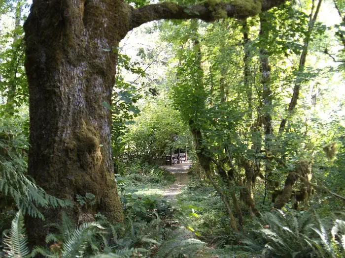
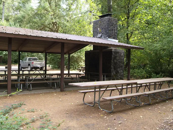
Overview Overnight camping is closed until further notice. Day-use recreation areas remain open for public use.Reserve a campsite at Clay Creek on recreation.gov or pay when you arrive for non-reserved campsites using the Recreation.gov Mobile App. You must download before you reach the site since there is no cell reception in the drainage. Clay Creek Recreation Site is nestled in the Coast Range of Oregon between Eugene and the Oregon coast at an elevation of 436-492 feet. Located at the confluence of Clay Creek and the Siuslaw River, this recreation site offers a wealth of activities including forest hiking, fishing, wildlife viewing, picnicking and camping. The Springfield Office of the Northwest Oregon District of the Bureau of Land Management (BLM) manages the Clay Creek Recreation Site.Recreation This quiet family oriented recreation site is a favorite if you enjoy riverside camping with an interpretive trail to old-growth timber. Spacious campsites with paved parking pads, mossy vine-maple tangles, and tall straight firs make up this camping area. The recreation site also boasts large group shelters available by reservation for group outings, weddings, or other events. The Clay Creek Trail, created in 1991 for hiking, provides access to a stand of Douglas fir high above the campground and the Siuslaw River. The site’s Clay Creek Trail ascends a ridge above the campground to a remnant old-growth stand. From camp, you cross the concrete bridge on Clay Creek Road and river to begin the hike. Facilities Clay Creek offers 21 individual campsites to accommodate 32 feet of RV, truck and trailer, or tents. Most sites contain fire ring, barbeque grill, picnic table, and tent pad. In addition, the site contains vault toilets, a summer swimming area with dressing rooms nearby, individual picnic sites, a children’s play area, horseshoe pits, potable water, volleyball area (bring your net and ball), and a ball field. Natural Features Clay Creek campground and the surround
Photos
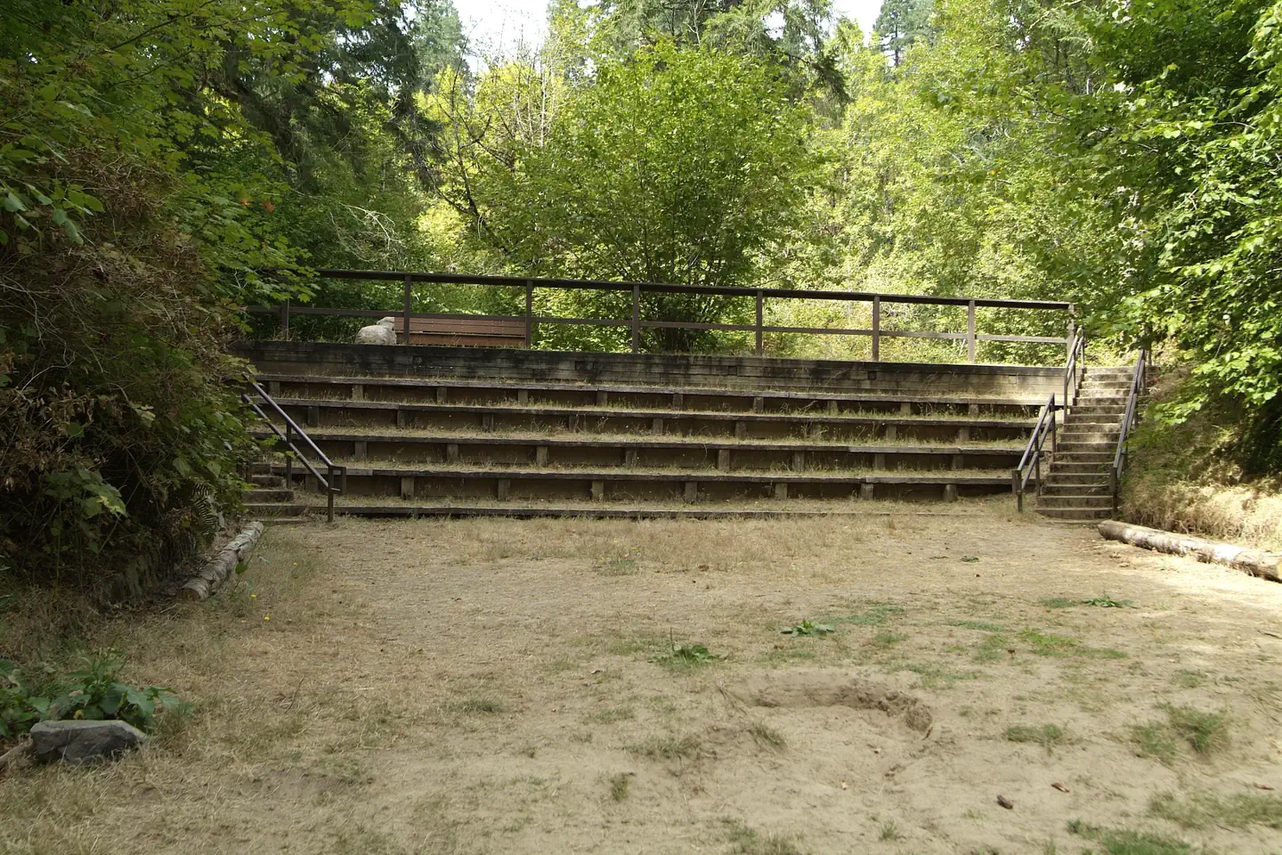
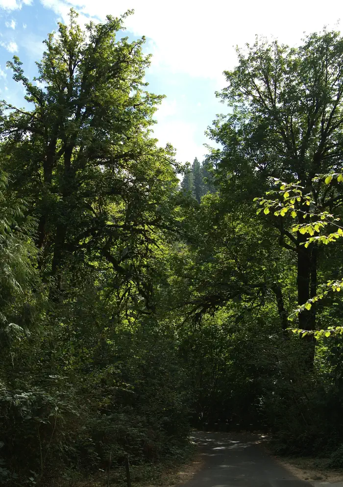
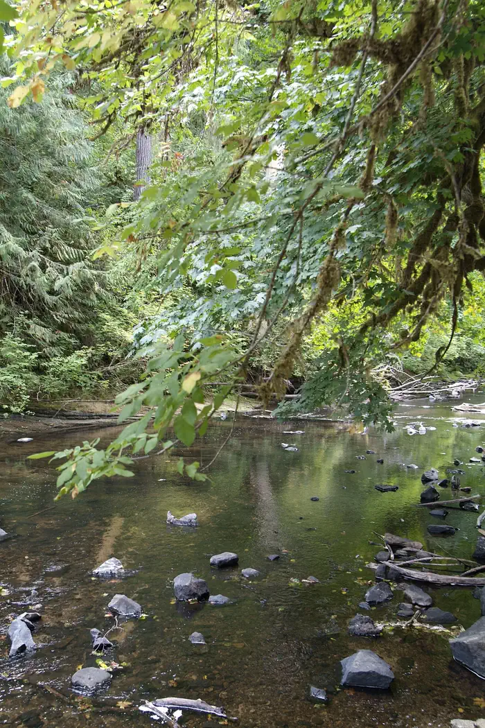
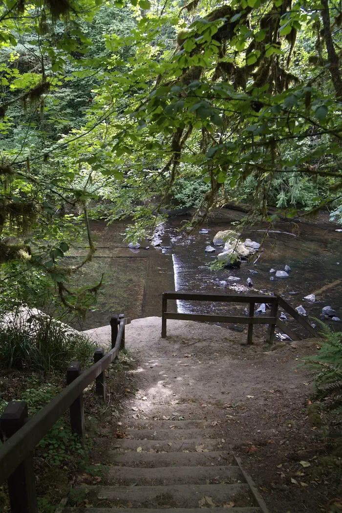
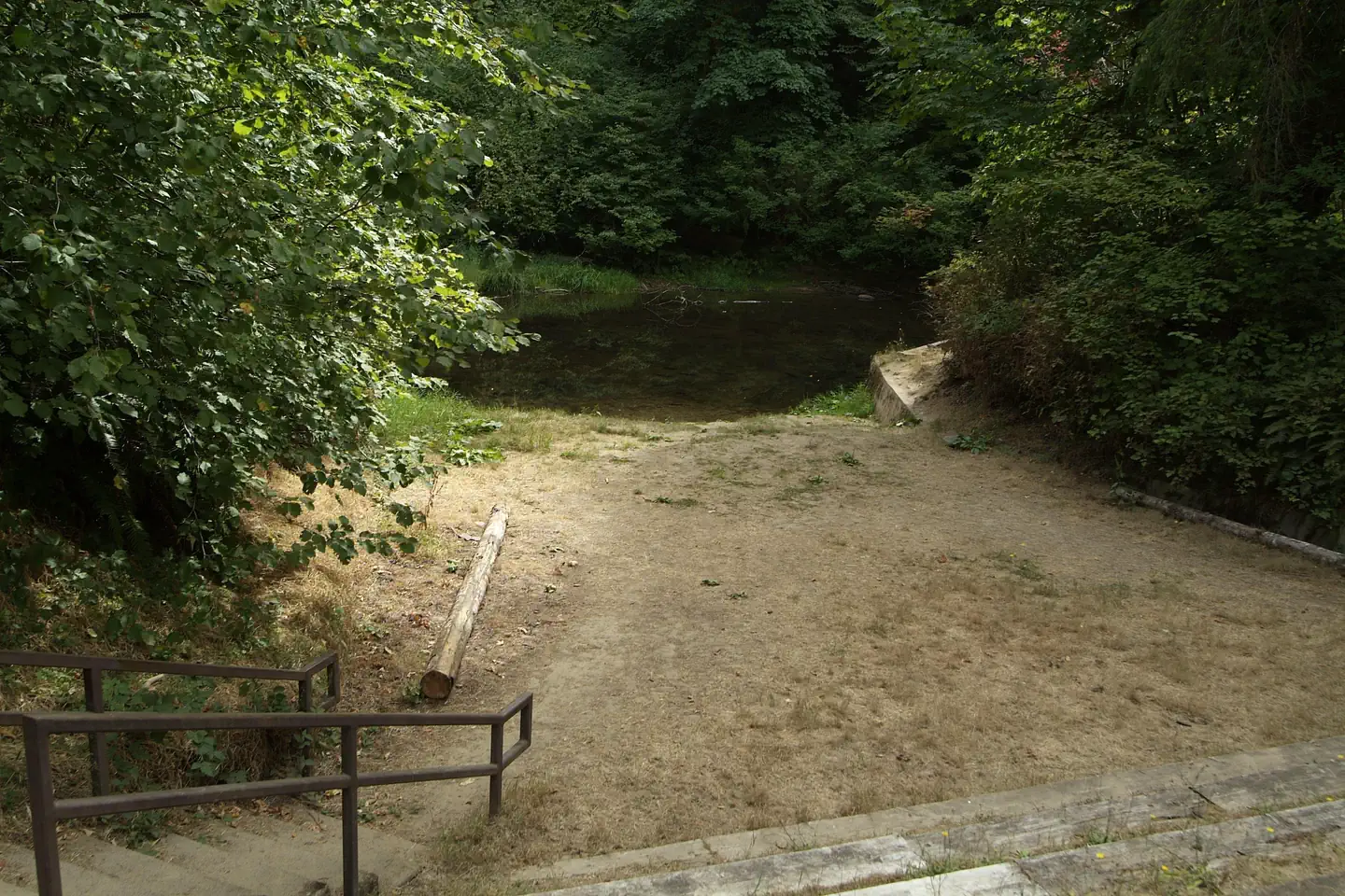
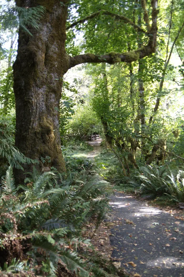
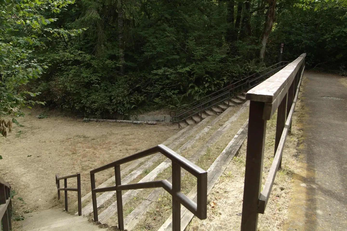
one of Clay Creek's shelters to rent — Lauren Bonney - BLMShelter 2 is a day use shelter for rent at Clay Creek Campground — Lauren Bonney - BLMClay Creek Campground Amphitheatre. — Lauren Bonney - BLMTowering Maple Trees. — Lauren Bonney - BLMSiuslaw River access from campground. — Lauren Bonney - BLMplay structure at Clay Creek — Traci Meredith-BLMView of dam site on the Siuslaw River — Lauren Bonney - BLMView of Siuslaw River from Amphitheatre seats. — Lauren Bonney - BLMView of shelter 2 from accessibility trail. — Lauren Bonney - BLMAmphitheatre seats. — Lauren Bonney - BLM
How to Get There
From Eugene (valley): From Interstate 5 go west on Beltline Road to West 11th Avenue. Turn right onto West 11th Avenue (Highway OR-126). Follow Highway 126 about 29 miles to Siuslaw River Road just west of Walton. Turn left on Siuslaw River Road and follow about 10 miles to the intersection of BLM Road 19-7-20.1. Keep left on Siuslaw River Road for about 6 miles. The main entrance to the recreation site is located on the right. From Florence (coast): Take Highway OR-126 east about 14 miles to Mapleton. Turn right and follow Highway 126 for about 12 miles to Siuslaw River Road. Turn right on Siuslaw River Road and follow about 16 miles to the intersection of BLM Road 19-7-20.1. Keep left on Siuslaw River Road for about 6 miles. The main entrance to the recreation site is located on the right.
Download your route in advance via Gaia, Caltopo, or OSM-based apps.
Recommendations adapt to the current forecast + trail stats. Use them as a starting point — local conditions, your experience, and the time of day you start all matter.
Plan Your Visit to Clay Creek Recreation Site
Heading to Clay Creek Recreation Site? A few things to know before you go:
Reservations: popular sites fill up fast — check Recreation.gov 6 months in advance
Fees: day-use and camping fees vary; check current rates on the official park page
Trash & pack-out: follow Leave No Trace principles
Wildlife: store food in bear boxes where provided; never feed wildlife
Weather: the 5-day forecast above is updated every 6 hours; verify just before you go
Frequently Asked Questions
Do I need a reservation for Clay Creek Recreation Site?
No central reservation system listed for Clay Creek Recreation Site. Check the official page (https://www.recreation.gov/camping/campgrounds/273308) for the latest entry policy and availability.
How many campsites are at Clay Creek Recreation Site?
Clay Creek Recreation Site has 23 campsites. Site amenities (hookups, vehicle limits, ADA access) vary — see the individual campsite pages for details.
How do I get to Clay Creek Recreation Site?
From Eugene (valley): From Interstate 5 go west on Beltline Road to West 11th Avenue. Turn right onto West 11th Avenue (Highway OR-126). Follow Highway 126 about 29 miles to Siuslaw River Road just west of Walton. Turn left on Siuslaw River Road and follow about 10 miles to the intersection of BLM Road 19-7-20.1. Keep left on Siuslaw River Road for about 6 miles. The main entrance to the recreatio…
How do I contact Clay Creek Recreation Site?
You can reach the park at phone: 541-683-6600 or email: [email protected].