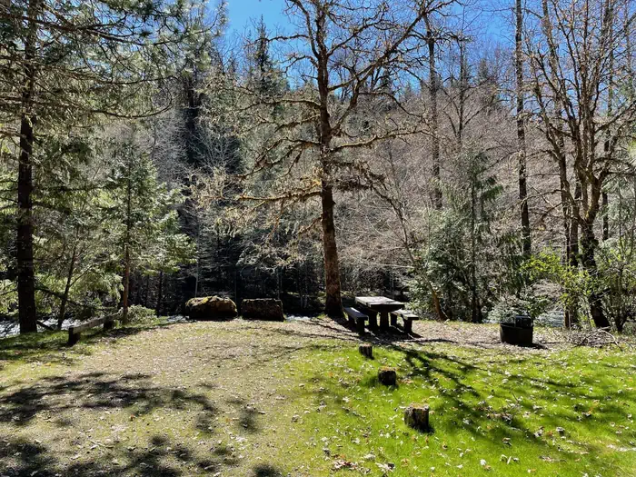
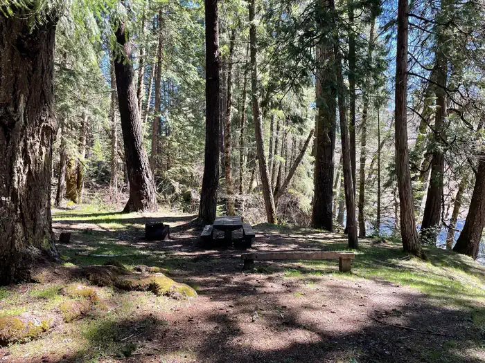
Overview Campers Flat is on an open river terrace below Forest Road 21. This small campground is a group site situated in a beautiful setting under Douglas-firs and Ponderosa pines. The dynamic Middle Fork of the Willamette River almost eliminates the sound of traffic passing along the road. Popular activities are fish…
Overview Campers Flat is on an open river terrace below Forest Road 21. This small campground is a group site situated in a beautiful setting under Douglas-firs and Ponderosa pines. The dynamic Middle Fork of the Willamette River almost eliminates the sound of traffic passing along the road. Popular activities are fishing and hiking, or mountain biking the Young's Rock Trail, which ends on the other side of Road 21 from the camp. Recreation This campground is ideally located for hikers, mountain bikers, and equestrians. The Middle Fork National Recreation Trail can be accessed just outside of the campground, as well as the Young's Rock trail. Chuckle Springs and Indigo Springs offer other opportunities nearby, and in the right season fishing is available in the Middle Fork as well as the nearby Hills Creek Reservoir. Facilities The campground has one small communal bathroom and regular trash services. Natural Features This campsite is located in a beautiful grove of Douglas firs, pines, and cedars. The Middle Fork flows along the side of the campground, and Chuckle Springs and Hills Creek Reservoir are short drives away. Nearby Attractions Middle Fork River, Young's Rock, Larrison Rock, Hills Creek Reservoir, Chuckle Springs, Indigo Springs
Photos
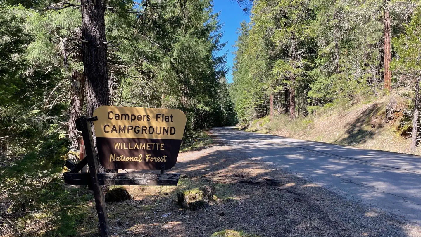
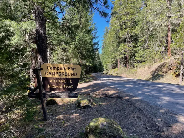
A wide and shallow river with a rocky bottom. Both banks have small overhanging trees. — USFSA grassy campsite with a wooden picnic table and a metal fire ring. The site is on the bank of a river and has a large tree near the table. — USFSA brown and cream sign on a wooden stand. The sign reads "Campers Flat Campground". — USFSA campsite surrounded by large trees. The site has a wooden picnic table and metal fire ring. A river can be seen at the edge of the site. — USFS
How to Get There
Exit I-5 heading east on Highway 58 towards Oakridge, OR. On the east side of Oakridge, just past mile marker 37, take a right onto Kitson Springs Road. In approximately half a mile, take a right onto Forest Service Road 21. Continue on the 21 Road to mile post 20 and the locked gate to the campground will be on the right.
Download your route in advance via Gaia, Caltopo, or OSM-based apps.
Recommendations adapt to the current forecast + trail stats. Use them as a starting point — local conditions, your experience, and the time of day you start all matter.
Plan Your Visit to Campers Flat
Heading to Campers Flat? A few things to know before you go:
Reservations: popular sites fill up fast — check Recreation.gov 6 months in advance
Fees: day-use and camping fees vary; check current rates on the official park page
Trash & pack-out: follow Leave No Trace principles
Wildlife: store food in bear boxes where provided; never feed wildlife
Weather: the 5-day forecast above is updated every 6 hours; verify just before you go
Frequently Asked Questions
Do I need a reservation for Campers Flat?
No central reservation system listed for Campers Flat. Check the official page (https://www.recreation.gov/camping/campgrounds/10165195) for the latest entry policy and availability.
How many campsites are at Campers Flat?
Campers Flat has 1 campsites. Site amenities (hookups, vehicle limits, ADA access) vary — see the individual campsite pages for details.
How do I get to Campers Flat?
Exit I-5 heading east on Highway 58 towards Oakridge, OR. On the east side of Oakridge, just past mile marker 37, take a right onto Kitson Springs Road. In approximately half a mile, take a right onto Forest Service Road 21. Continue on the 21 Road to mile post 20 and the locked gate to the campground will be on the right.
How do I contact Campers Flat?
You can reach the park at phone: N/A or email: N/A.