Overview This location is available on a first-come, first-served basis only. Visitors are required to physically arrive at the campground to purchase and claim a site. Once on-site, you may be able to pay for your campsite(s) with cash or by scanning a QR code using the Recreation.gov mobile app, and the Scan and Pay …
Overview This location is available on a first-come, first-served basis only. Visitors are required to physically arrive at the campground to purchase and claim a site. Once on-site, you may be able to pay for your campsite(s) with cash or by scanning a QR code using the Recreation.gov mobile app, and the Scan and Pay feature. If this option is available, you will need to first download the free Recreation.gov mobile app https://www.recreation.gov/mobile-app prior to your arrival as some remote areas have limited or no cellular service. Recreation Hikers and mountain bikers can take advantage of the nearby Middle Fork National Recreation Trail, as well as the Indigo Springs Loop and Chuckly Springs Trail. The Diamond Peak wilderness is also located nearby with several hikes into undeveloped areas on the forest. Fishing in the Middle Fork is another great option, if you follow local regulations. Facilities This campground has one communal bathroom and regular trash service. There is no potable water available. Natural Features This small campground is located right alongside the beautiful Indigo Springs. Nearby old growth forests, as well as scenic views of Chuckle Springs, the Middle Fork River, and the Diamond Peak Wilderness make this a wonderful place to get into nature. Nearby Attractions Diamond Peak Wilderness, Indigo Springs, Chuckle Springs, Middle Fork River, Timpanogas Lake
Photos
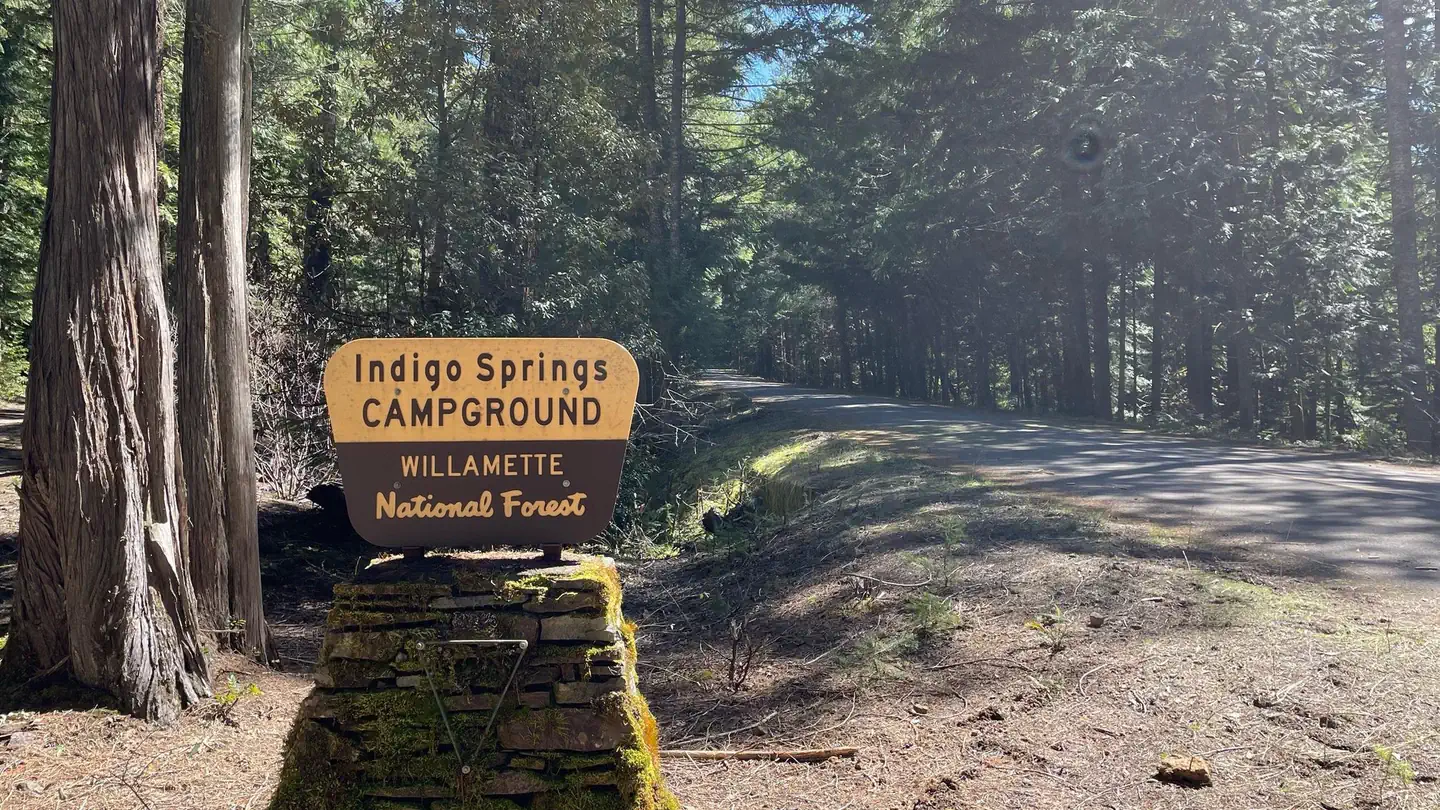
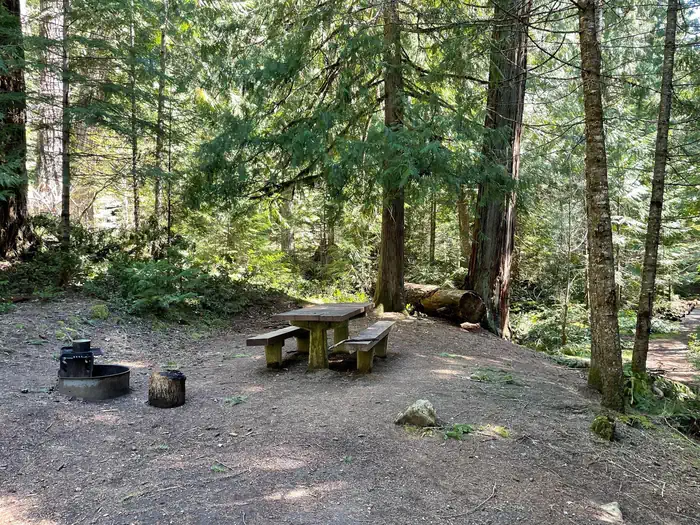
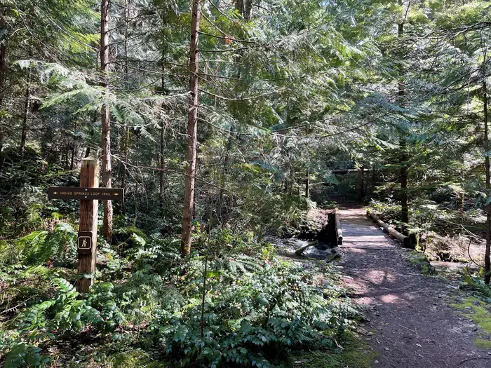
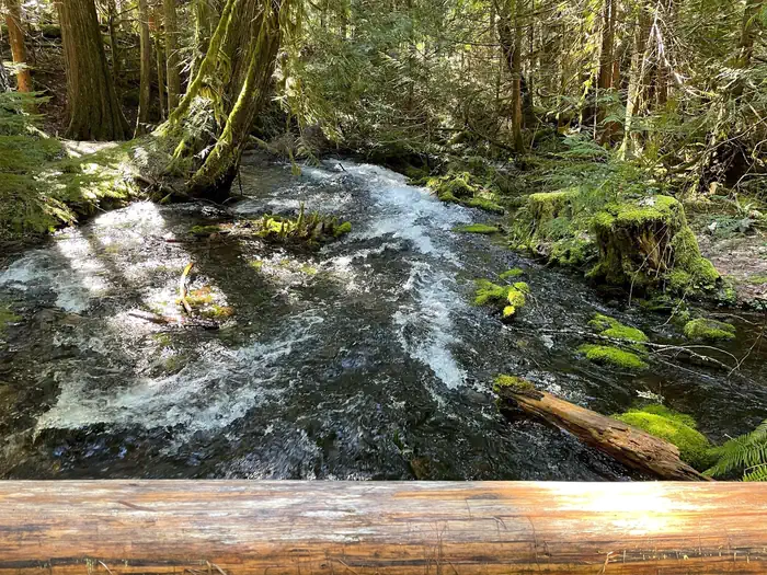
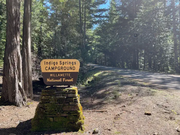
A small campsite covered in shade by surrounding trees. The site has a wooden picnic table and metal fire ring. — USFSA trail extends away into the distance over a small wooden bridge. A sign labels the trail as the Indigo Springs Loop. — USFSA small and fast-moving stream flows under a wooden bridge and through dense underbrush. — USFSA cream and brown sign on a stone pedestal. The sign reads "Indigo Springs Campground" — USFS
How to Get There
Exit I-5 heading east on Highway 58 towards Oakridge, OR. On the east side of Oakridge, just past mile marker 37, take a right onto Kitson Springs Road. In approximately half a mile, take a right onto Forest Service Road 21. Follow the 21 Road to mile post 29 and the entrance to the campground will be on the left.
Download your route in advance via Gaia, Caltopo, or OSM-based apps.
Recommendations adapt to the current forecast + trail stats. Use them as a starting point — local conditions, your experience, and the time of day you start all matter.
Plan Your Visit to Indigo Springs
Heading to Indigo Springs? A few things to know before you go:
Reservations: popular sites fill up fast — check Recreation.gov 6 months in advance
Fees: day-use and camping fees vary; check current rates on the official park page
Trash & pack-out: follow Leave No Trace principles
Wildlife: store food in bear boxes where provided; never feed wildlife
Weather: the 5-day forecast above is updated every 6 hours; verify just before you go
Frequently Asked Questions
Do I need a reservation for Indigo Springs?
No central reservation system listed for Indigo Springs. Check the official page (https://www.recreation.gov/camping/campgrounds/10165375) for the latest entry policy and availability.
How many campsites are at Indigo Springs?
Indigo Springs has 4 campsites. Site amenities (hookups, vehicle limits, ADA access) vary — see the individual campsite pages for details.
How do I get to Indigo Springs?
Exit I-5 heading east on Highway 58 towards Oakridge, OR. On the east side of Oakridge, just past mile marker 37, take a right onto Kitson Springs Road. In approximately half a mile, take a right onto Forest Service Road 21. Follow the 21 Road to mile post 29 and the entrance to the campground will be on the left.
How do I contact Indigo Springs?
You can reach the park at phone: N/A or email: N/A.