The Baker Cypress Trail is a short ¼ mile interpretive trail in the middle country within the Baker Cypress Area of Critical Environmental Concern. The trail accesses unique habitat of the Baker Cypress trees and other botanically important areas. Those with higher clearance vehicles can drive the final one-third mile …
The Baker Cypress Trail is a short ¼ mile interpretive trail in the middle country within the Baker Cypress Area of Critical Environmental Concern. The trail accesses unique habitat of the Baker Cypress trees and other botanically important areas. Those with higher clearance vehicles can drive the final one-third mile to the top, and park at the microwave towers. A short, unmaintained trail to the south provides an unobstructed view of Lost Creek Lake, the Rogue River valley, and the Cascades.
Photos
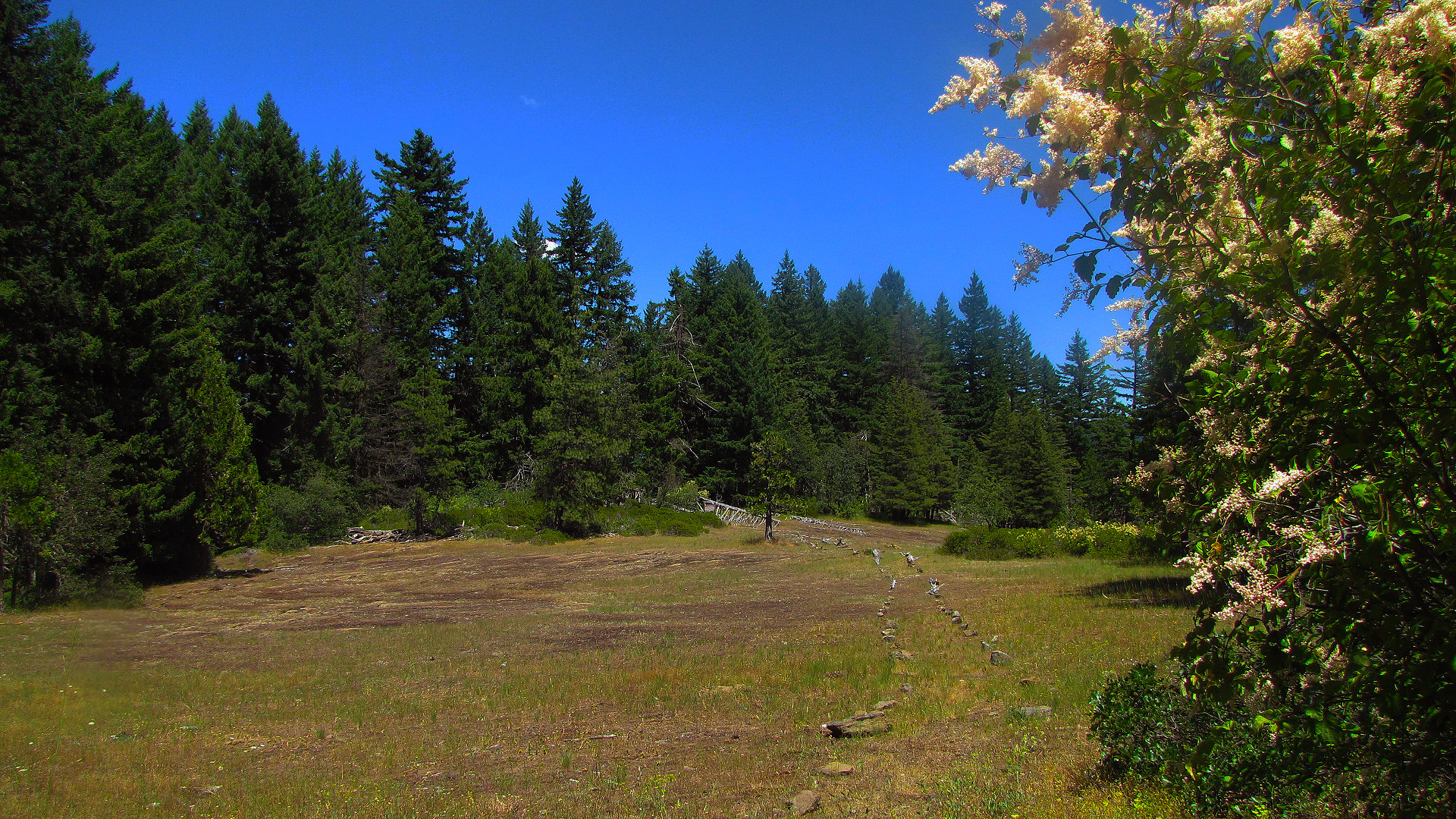
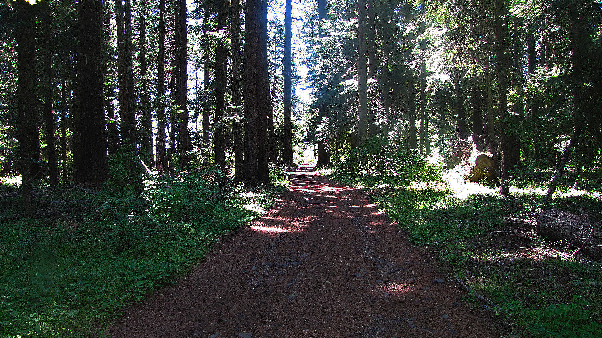
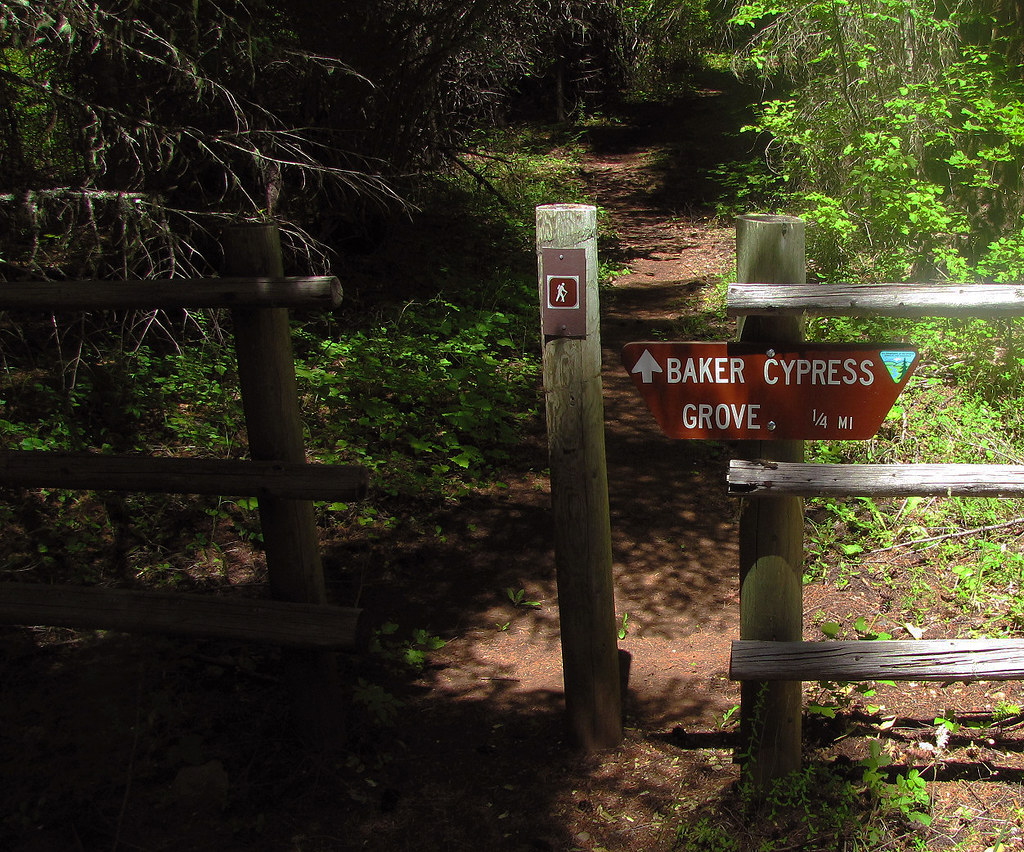
Along the Road to the Baker Cypress Trail. — BLMBaker Cypress Trailhead. — BLM
How to Get There
From Medford, Oregon: Travel north on Highway 62 through the town of Shady Cove, and past Lost Creek Lake. After crossing the bridge over the Rogue River, continue 2.5 miles and turn left on Ulrich Road, located near mile marker 38. Travel another 2.5 miles to a "Y" junction, and take the left fork onto BLM Road 32-2E-34. Travel 4.2 miles to a wide parking area. The trail to a small population of Bakers Cypress is through the rail fence on the left. Vehicles with high clearance can travel another 1/3 mile up to the top of Flounce. Note: After leaving Highway 62, the first mile is through a residential neighborhood - please drive slowly to keep the dust down. This route is a narrow, steep, winding road not recommended for vehicles pulling trailers. Access is weather dependent, and is not accessible during winter.
Heading to Baker Cypress Trail? A few things to know before you go:
Reservations: popular sites fill up fast — check Recreation.gov 6 months in advance
Fees: day-use and camping fees vary; check current rates on the official park page
Trash & pack-out: follow Leave No Trace principles
Wildlife: store food in bear boxes where provided; never feed wildlife
Weather: the 5-day forecast above is updated every 6 hours; verify just before you go
Frequently Asked Questions
Do I need a reservation for Baker Cypress Trail?
No central reservation system listed for Baker Cypress Trail. Check the official page (https://www.recreation.gov/recarea/10334393) for the latest entry policy and availability.
Is Baker Cypress Trail accessible?
No accessible facilities.
How do I get to Baker Cypress Trail?
From Medford, Oregon: Travel north on Highway 62 through the town of Shady Cove, and past Lost Creek Lake. After crossing the bridge over the Rogue River, continue 2.5 miles and turn left on Ulrich Road, located near mile marker 38. Travel another 2.5 miles to a "Y" junction, and take the left fork onto BLM Road 32-2E-34. Travel 4.2 miles to a wide parking area. The trail to a small population of …
How do I contact Baker Cypress Trail?
You can reach the park at phone: 541-618-2200 or email: [email protected].