Jacksonville, Oregon · Jackson County · Campground
Overview Acorn Woman Peak Lookout was constructed in 1942. It is an L-4 style cabin, and is on the National Historic Site Registry. The lookout is surrounded by glass windows on all sides, providing visitors with an unparalleled view of the steep drop-offs and breath-taking views of the rugged Siskiyou Mountains. This …
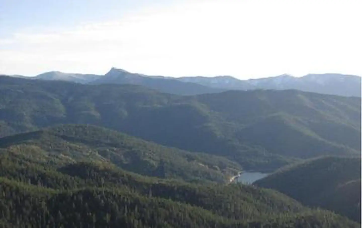
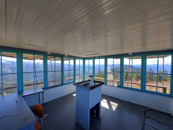
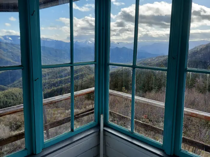
Overview Acorn Woman Peak Lookout was constructed in 1942. It is an L-4 style cabin, and is on the National Historic Site Registry. The lookout is surrounded by glass windows on all sides, providing visitors with an unparalleled view of the steep drop-offs and breath-taking views of the rugged Siskiyou Mountains. This historic lookout is available for rent during the snow-free season with a maximum length of stay being 5 consecutive nights. Guests must bring most of their own amenities. Recreation The lookout is also a prime spot for nature and scenic photography due to the stunning vistas provided. For visitors interested in astronomy, stargazing is a popular activity on clear nights.Facilities The 14 x 14 foot one room cabin is designed to house only one or two people, and offers a primitive camping experience. The room is equipped with a small wooden table, and the center of the building has a working Osborne Firefinder on its work table. Broom, mop, and fire extinguisher are on site, as well as a small storage box with toilet paper, forest and ranger district maps and information about the lookout and its surroundings. A primitive vault toilet is located near the lookout. No water is available on site, so guests must pack in water for drinking, cooking and washing. Guests must also provide their own camp stove, light source, sleeping bag, sleeping pad, towels, dish soap, matches, cooking gear, and garbage bags.Natural Features From the lookout, guests are treated to expansive views of the Red Buttes Wilderness area, Acorn Woman Lake and the Little Applegate Valley. To the north are far views of the Rogue Valley and Mt. McLaughlin and to the east is Wagner Butte and Dutchman Peak. On a clear day, visitors can see the rim of Crater Lake, Mt. Bailey and Mt. Thielsen. Clear nights provide guests with a dazzling display of stars and planets. Nearby Attractions The United States Congress designated the Red Buttes Wilderness in 1984 and it now includes a total of 19,94
Photos
View of Acorn Woman Lake — USFSInterior of lookout — USFSViews from lookout — USFS
How to Get There
Starting in Jacksonville, drive on Highway 238 west 8 miles to the town of Ruch. Turn left on Upper Applegate Road and proceed 10.2 miles to Forest Road 20, (Beaver Creek Road). Turn left and go 4.1 miles to the junction of Forest Road 20 and Forest Road 2010 (Hanley Gulch Road). Turn right and go 5.1 miles to the junction of Forest Road 2010 and Forest Road 2010/350. Open the locked gate with the combination on your reservation slip, and re-lock the gate behind you. Go 1 mile to Acorn Woman Peak Lookout.
Download your route in advance via Gaia, Caltopo, or OSM-based apps.
Recommendations adapt to the current forecast + trail stats. Use them as a starting point — local conditions, your experience, and the time of day you start all matter.
Plan Your Visit to Acorn Woman Peak Lookout
Heading to Acorn Woman Peak Lookout? A few things to know before you go:
Reservations: popular sites fill up fast — check Recreation.gov 6 months in advance
Fees: day-use and camping fees vary; check current rates on the official park page
Trash & pack-out: follow Leave No Trace principles
Wildlife: store food in bear boxes where provided; never feed wildlife
Weather: the 5-day forecast above is updated every 6 hours; verify just before you go
Frequently Asked Questions
Do I need a reservation for Acorn Woman Peak Lookout?
No central reservation system listed for Acorn Woman Peak Lookout. Check the official page (https://www.recreation.gov/camping/campgrounds/251546) for the latest entry policy and availability.
How do I get to Acorn Woman Peak Lookout?
Starting in Jacksonville, drive on Highway 238 west 8 miles to the town of Ruch. Turn left on Upper Applegate Road and proceed 10.2 miles to Forest Road 20, (Beaver Creek Road). Turn left and go 4.1 miles to the junction of Forest Road 20 and Forest Road 2010 (Hanley Gulch Road). Turn right and go 5.1 miles to the junction of Forest Road 2010 and Forest Road 2010/350. Open the locked gate with the…