Recreation AreaRecreation.gov

Lower Table Rock-Oak Savannah Trail

Central Point, Oregon · Jackson County

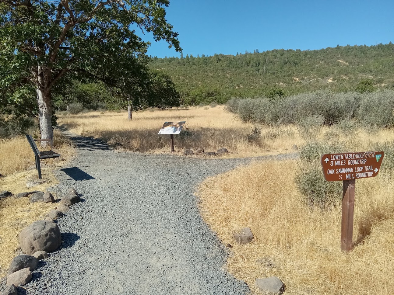
This is a 0.5 miles round trip. Elevation gain: 80'. Difficulty: Easy. Estimated hours round trip: 0.5. Trail surfacing: Gravel. Additional trail miles and conditions on top: N/A. Description: Interpretive signs. Drinking water available? No.

Advertisement
42.46894, -122.94544
Open in OpenStreetMap
5-Day Forecast

Weather at Lower Table Rock-Oak Savannah Trail

Live forecast for the park. Plan your visit accordingly.

Avg High90°F
Avg Low56°F
Peak Rain Chance0%
Humidity41%
UV (avg)5
Today
☁️
Overcast
85°/54°
🌬 7mph
↑ 7:10 AM ↓ 6:50 PM
Sat
☁️
Overcast
92°/57°
🌬 7mph
↑ 7:11 AM ↓ 6:49 PM
Sun
☁️
Overcast
90°/56°
🌬 4mph
↑ 7:12 AM ↓ 6:47 PM
Mon
☁️
Overcast
92°/57°
🌬 10mph
↑ 7:13 AM ↓ 6:45 PM
Tue
⛅
Partly Cloudy
90°/54°
🌬 7mph
↑ 7:14 AM ↓ 6:44 PM

Forecast data © Open-Meteo. Refreshed every 6 hours. Always check the most recent forecast before heading out.

About Lower Table Rock-Oak Savannah Trail

This is a 0.5 miles round trip. Elevation gain: 80'. Difficulty: Easy. Estimated hours round trip: 0.5. Trail surfacing: Gravel. Additional trail miles and conditions on top: N/A. Description: Interpretive signs. Drinking water available? No.

How to Get There

Lower Table Rock: From Interstate 5, take Exit #33 at Central Point. Head east on East Pine Street for 1 mile. Turn north (left) on Table Rock Road. Drive 8 miles to Wheeler Road and turn west (left). The trailhead is located another 0.5 mile on the left.

Driving directions (Google Maps) →

Plan Your Visit to Lower Table Rock-Oak Savannah Trail

Heading to Lower Table Rock-Oak Savannah Trail? A few things to know before you go:

  • Reservations: popular sites fill up fast — check Recreation.gov 6 months in advance
  • Fees: day-use and camping fees vary; check current rates on the official park page
  • Trash & pack-out: follow Leave No Trace principles
  • Wildlife: store food in bear boxes where provided; never feed wildlife
  • Weather: the 5-day forecast above is updated every 6 hours; verify just before you go

Frequently Asked Questions

Do I need a reservation for Lower Table Rock-Oak Savannah Trail?

No central reservation system listed for Lower Table Rock-Oak Savannah Trail. Check the official page (https://www.recreation.gov/recarea/10331019) for the latest entry policy and availability.

How do I get to Lower Table Rock-Oak Savannah Trail?

Lower Table Rock: From Interstate 5, take Exit #33 at Central Point. Head east on East Pine Street for 1 mile. Turn north (left) on Table Rock Road. Drive 8 miles to Wheeler Road and turn west (left). The trailhead is located another 0.5 mile on the left.

How do I contact Lower Table Rock-Oak Savannah Trail?

You can reach the park at phone: 541-618-2200 or email: [email protected].