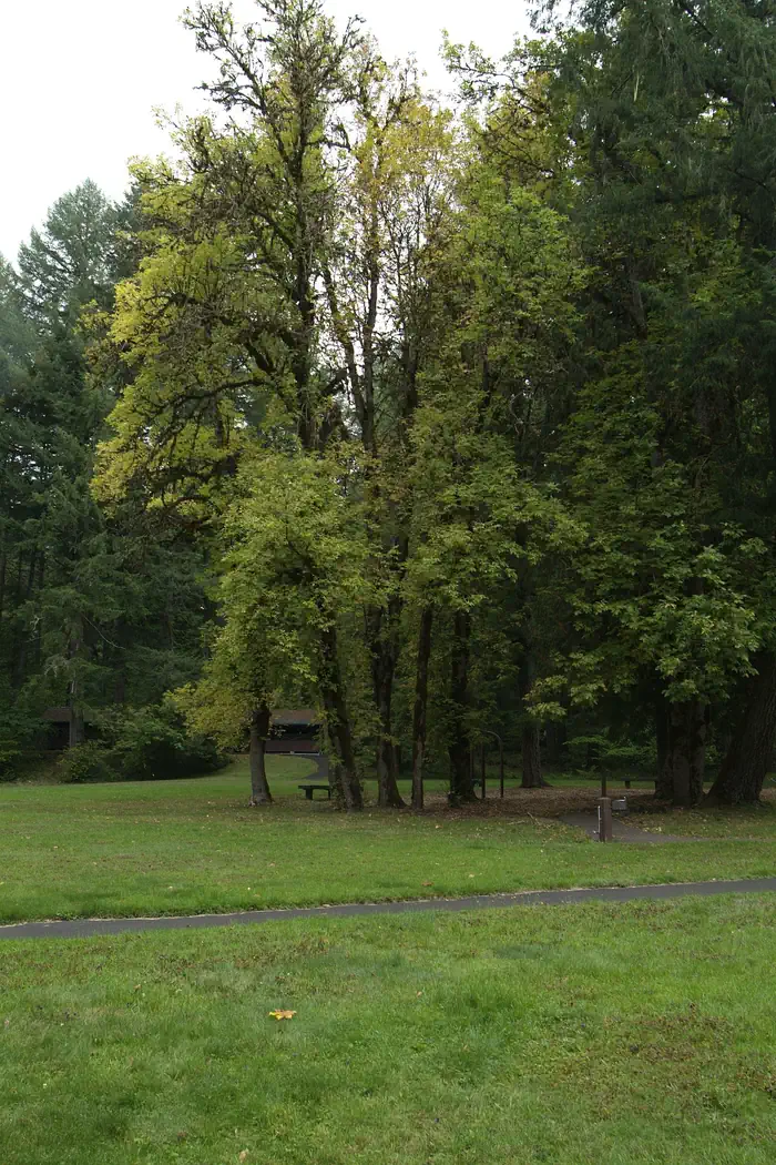
Overview The refreshing location with its lush, forest setting, coupled with comforts normally associated with an urban park, blend seamlessly at this popular day-use site. Here, one can immerse in the enjoyment of surrounding hiking trails, a swimming area, meandering creeks, and picnicking units. Whether seeking trai…
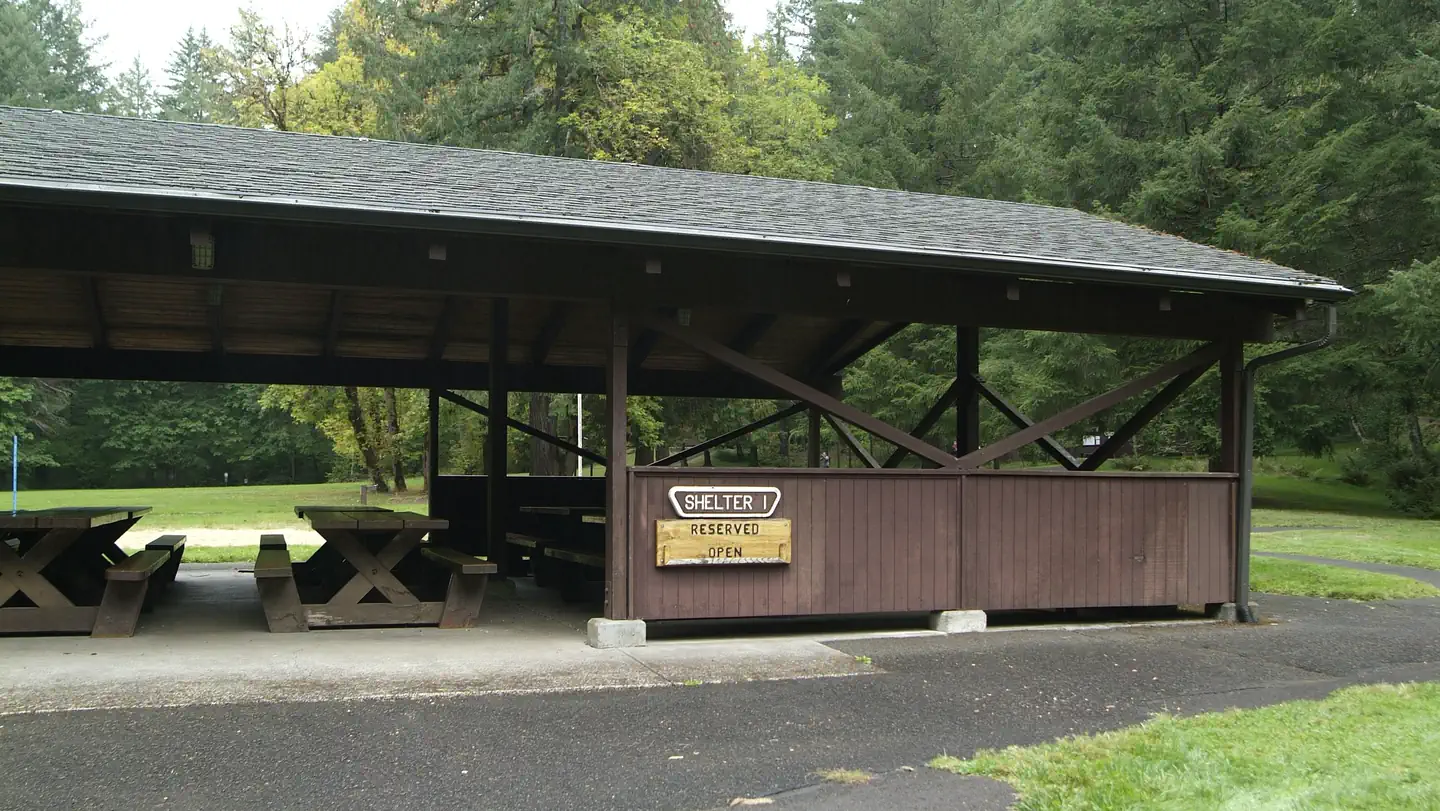
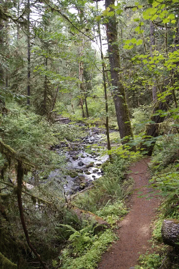
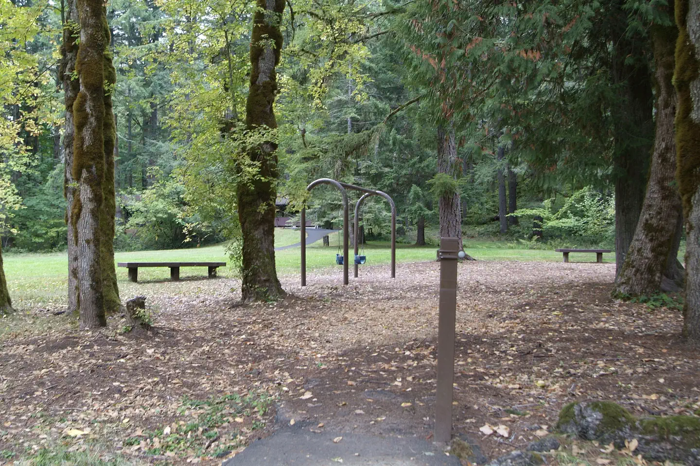
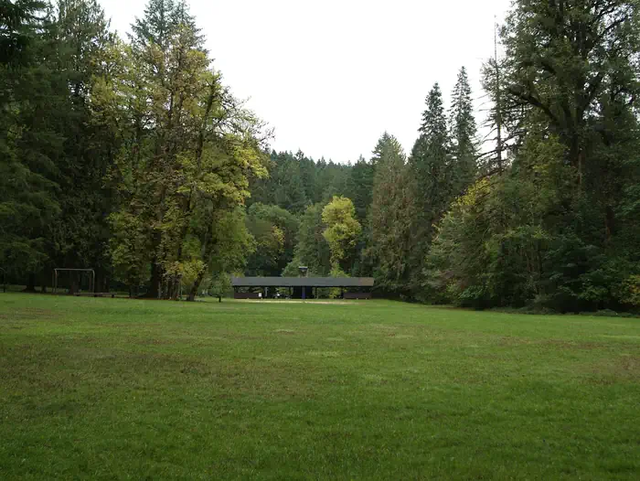
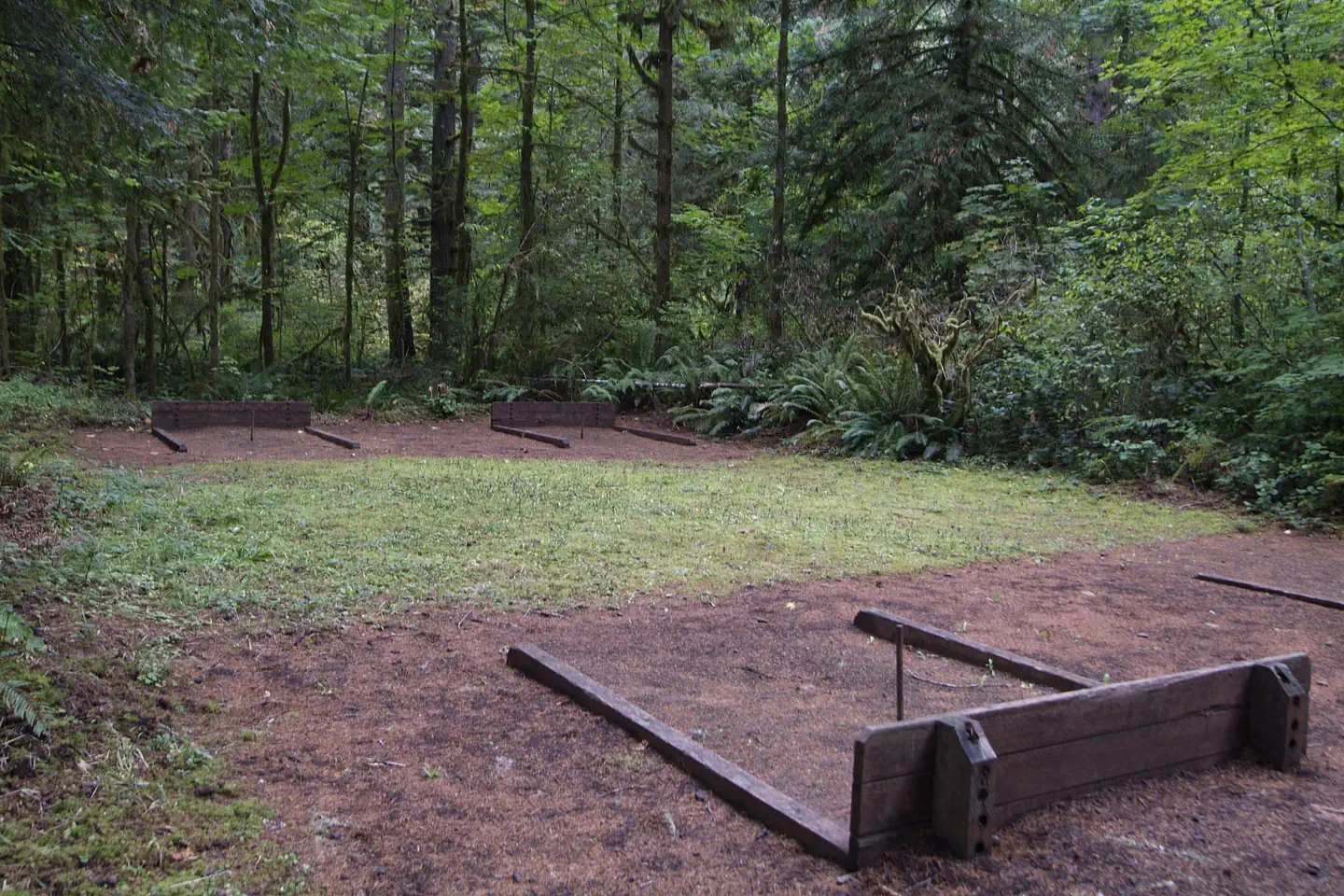
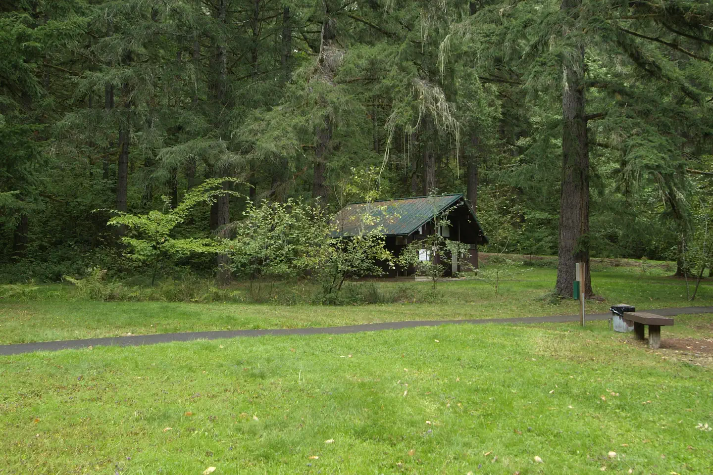
Overview The refreshing location with its lush, forest setting, coupled with comforts normally associated with an urban park, blend seamlessly at this popular day-use site. Here, one can immerse in the enjoyment of surrounding hiking trails, a swimming area, meandering creeks, and picnicking units. Whether seeking trail solitude, a fun day of water play during the heat of summer, or the lingering memory of that very special celebration, this special place awaits your arrival. Shotgun Creek Recreation Site is open to day use year round. Shelter reservations are available from May 1-September 30 each year.Recreation Hiking, picnicking, family gatherings, sand volleyball, softball, playground, horseshoe pits, and seasonal water play. Facilities Reserve one or both large group day-use shelters each equipped with fireplace, lights, sinks, potable water, and picnic tables that will accommodate up to 112 people comfortably for events. 23 individual picnic sites 6.43 miles of hiking trail Natural Features The beautiful, well-equipped wooden shelters, available by reservation, offer a fine place to celebrate special events such as weddings, anniversaries or birthday parties. Nearby Attractions The 34-mile Shotgun OHV Trail System is located immediately north of the recreation site. Nearby staging facilities offer free amenities such as picnic tables, bathrooms, and trash facilities. Elevations from 758 to 2,864. Current fire restrictions: Fire Closures and Restrictions. Public Fire Restriction lev els can be found on Oregon Department of Forestry's website. Earnest Bridge south on Marcola Rd about a mile on the left on Paschelke Rd. Springfield Golf Club south on Marcola Rd about 9 miles turn left on Sunderman Rd. McGowan Environmental Education Area is located along McGowan Creek Road west of Shotgun Creek Rd. Charges & Cancellations Standard fees apply and are non-refundable. Visit https://www.recreation.gov/rules-reservation-policies for more information.
Photos
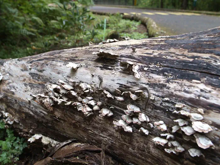
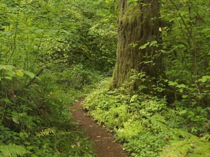
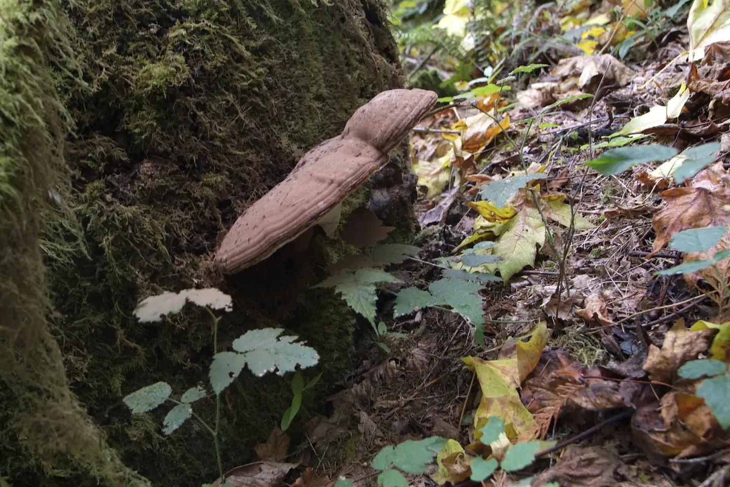
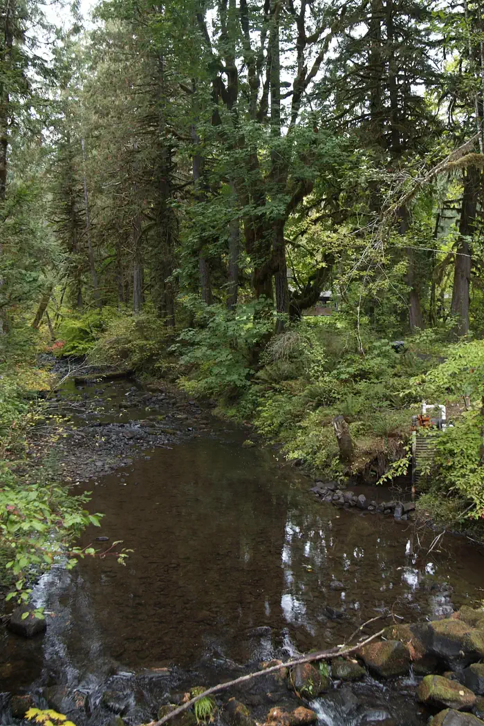
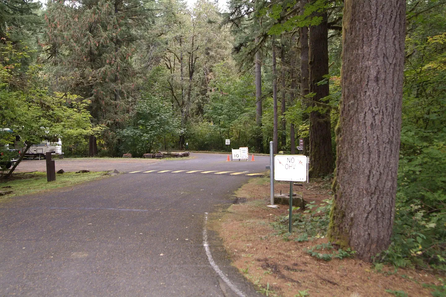
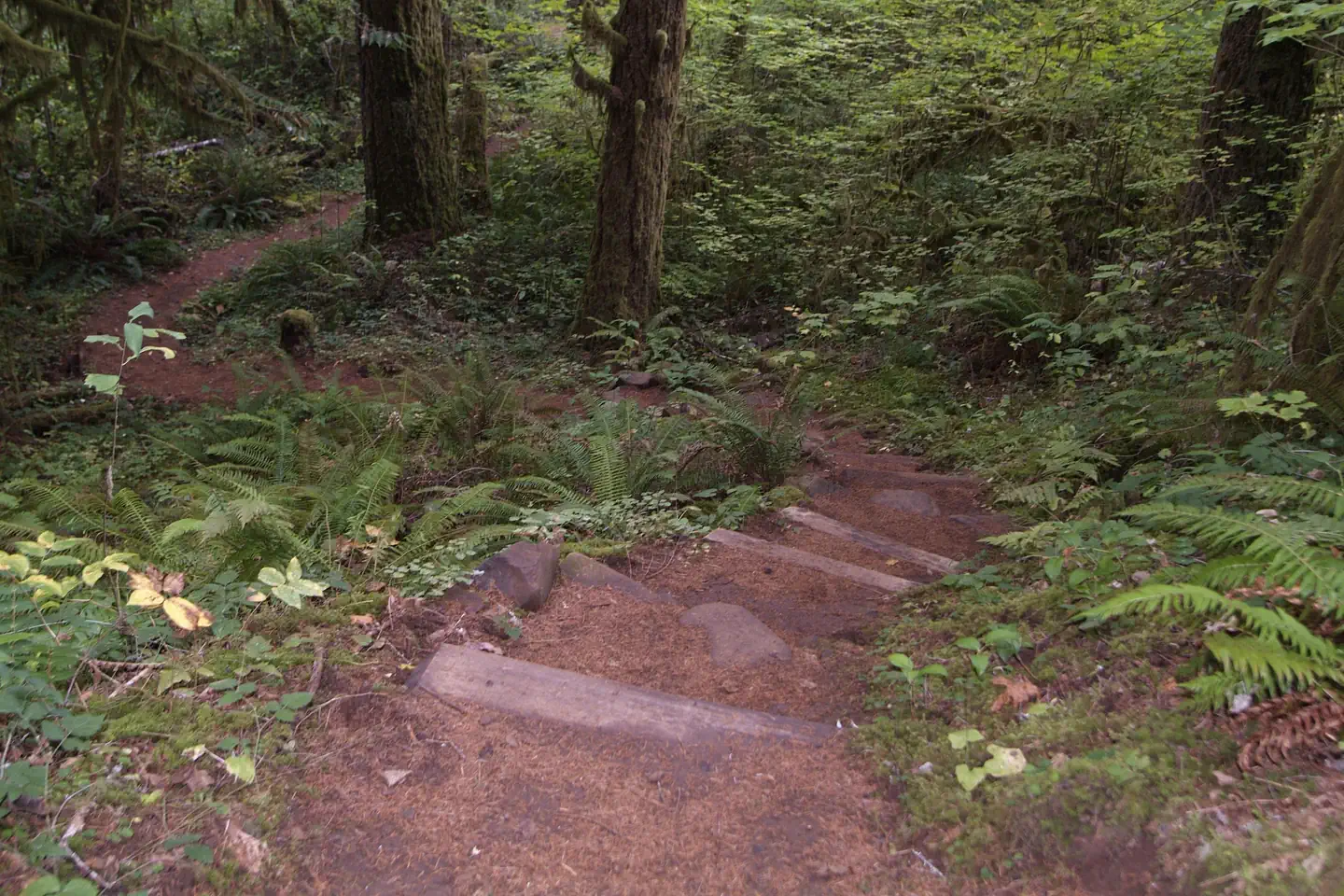
Shotgun Creek trail. — Lauren Bonney - BLMSwings. — Lauren Bonney - BLMView of shelter 1. — Lauren Bonney - BLMPlay area in the trees. — Lauren Bonney - BLM Horseshoe pits. — Lauren Bonney - BLMBathroom facilities. — Lauren Bonney - BLM Snake relaxing on log. — Lauren Bonney - BLMShotgun Loop Trail. — Lauren Bonney - BLMMushroom at Shotgun RA — Lauren Bonney - BLMShotgun Creek. — Lauren Bonney - BLMShotgun Recreation Site entrance. — Lauren Bonney - BLMSteps — Lauren Bonney - BLM
How to Get There
From the North Take Interstate 5 south, exit 216, OR-228 towards Brownsville/Crawfordsville. Turn right on Bush Creek Road just east of Crawfordsville. Drive 12.4 miles on Bush Creek Road that turns into Marcola Road. Turn right just past the community of Mabel onto Shotgun Creek Road. Follow Shotgun Creek Road approximately 1.5 miles. The recreation site is located on the right side of the road. From the South Take Interstate 5 north, exit 194A, OR-126 E towards Springfield. Travel 4 miles east to the 42nd St/Marcola exit and follow the signs to Marcola driving for about 13.3 miles until it intersects the Shotgun Creek Road (first paved road on the left). Follow Shotgun Creek Road approximately 1.5 miles. The recreation site is located on the right side of the road.
Download your route in advance via Gaia, Caltopo, or OSM-based apps.
Recommendations adapt to the current forecast + trail stats. Use them as a starting point — local conditions, your experience, and the time of day you start all matter.
Plan Your Visit to Shotgun Creek Recreation Site
Heading to Shotgun Creek Recreation Site? A few things to know before you go:
Reservations: popular sites fill up fast — check Recreation.gov 6 months in advance
Fees: day-use and camping fees vary; check current rates on the official park page
Trash & pack-out: follow Leave No Trace principles
Wildlife: store food in bear boxes where provided; never feed wildlife
Weather: the 5-day forecast above is updated every 6 hours; verify just before you go
Frequently Asked Questions
Do I need a reservation for Shotgun Creek Recreation Site?
No central reservation system listed for Shotgun Creek Recreation Site. Check the official page (https://www.recreation.gov/camping/campgrounds/273310) for the latest entry policy and availability.
How many campsites are at Shotgun Creek Recreation Site?
Shotgun Creek Recreation Site has 2 campsites. Site amenities (hookups, vehicle limits, ADA access) vary — see the individual campsite pages for details.
How do I get to Shotgun Creek Recreation Site?
From the North Take Interstate 5 south, exit 216, OR-228 towards Brownsville/Crawfordsville. Turn right on Bush Creek Road just east of Crawfordsville. Drive 12.4 miles on Bush Creek Road that turns into Marcola Road. Turn right just past the community of Mabel onto Shotgun Creek Road. Follow Shotgun Creek Road approximately 1.5 miles. The recreation site is located on the right side of the road. …
How do I contact Shotgun Creek Recreation Site?
You can reach the park at phone: 541-683-6600 or email: [email protected].