FacilityFacilityRecreation.gov

Chimney Rock Trail

Prineville, Oregon · Crook County · Facility

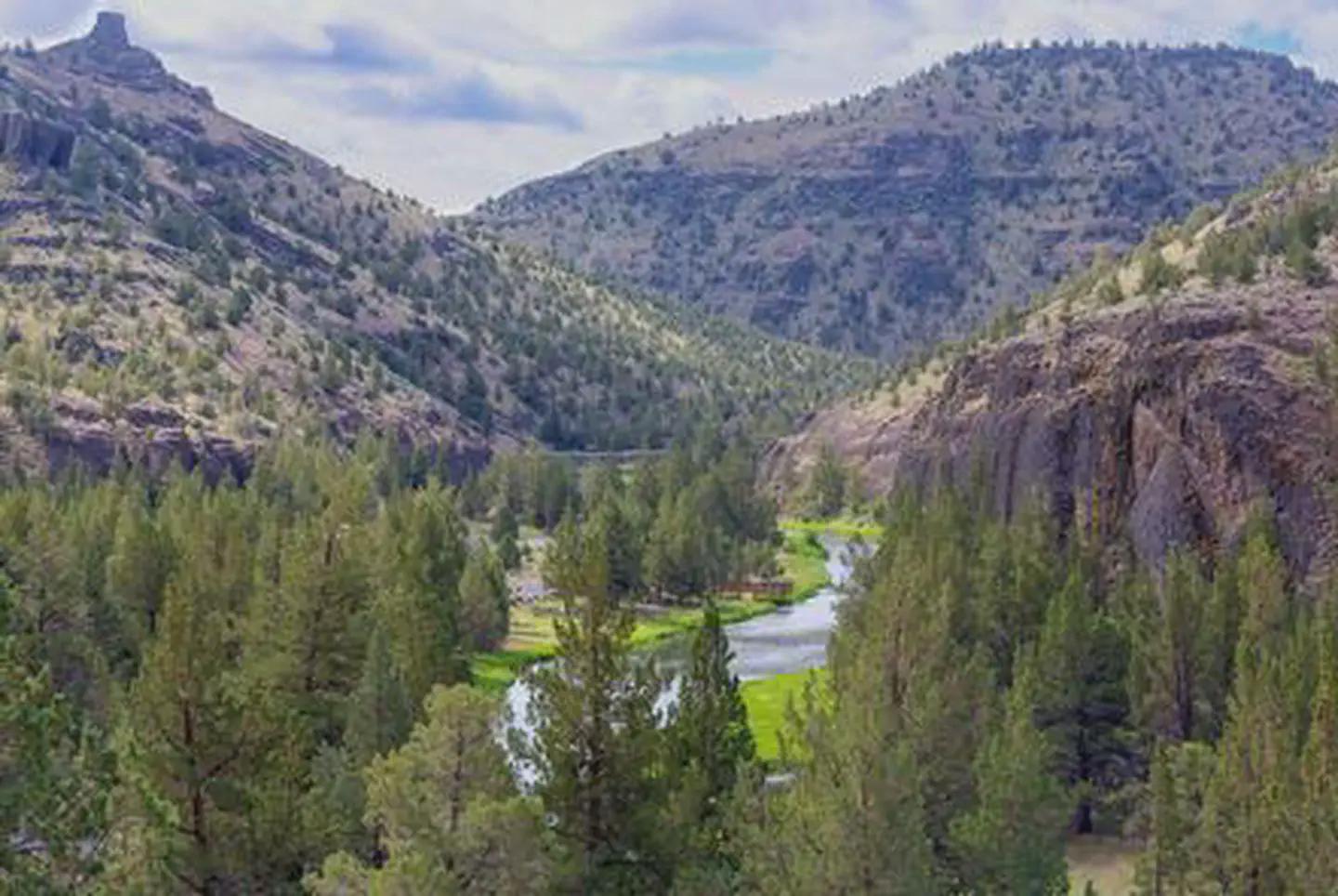
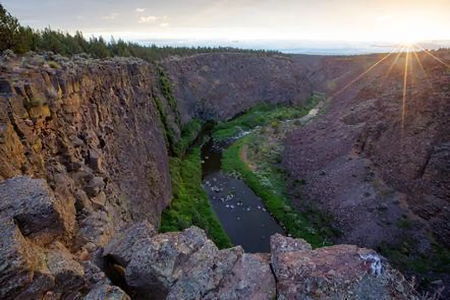
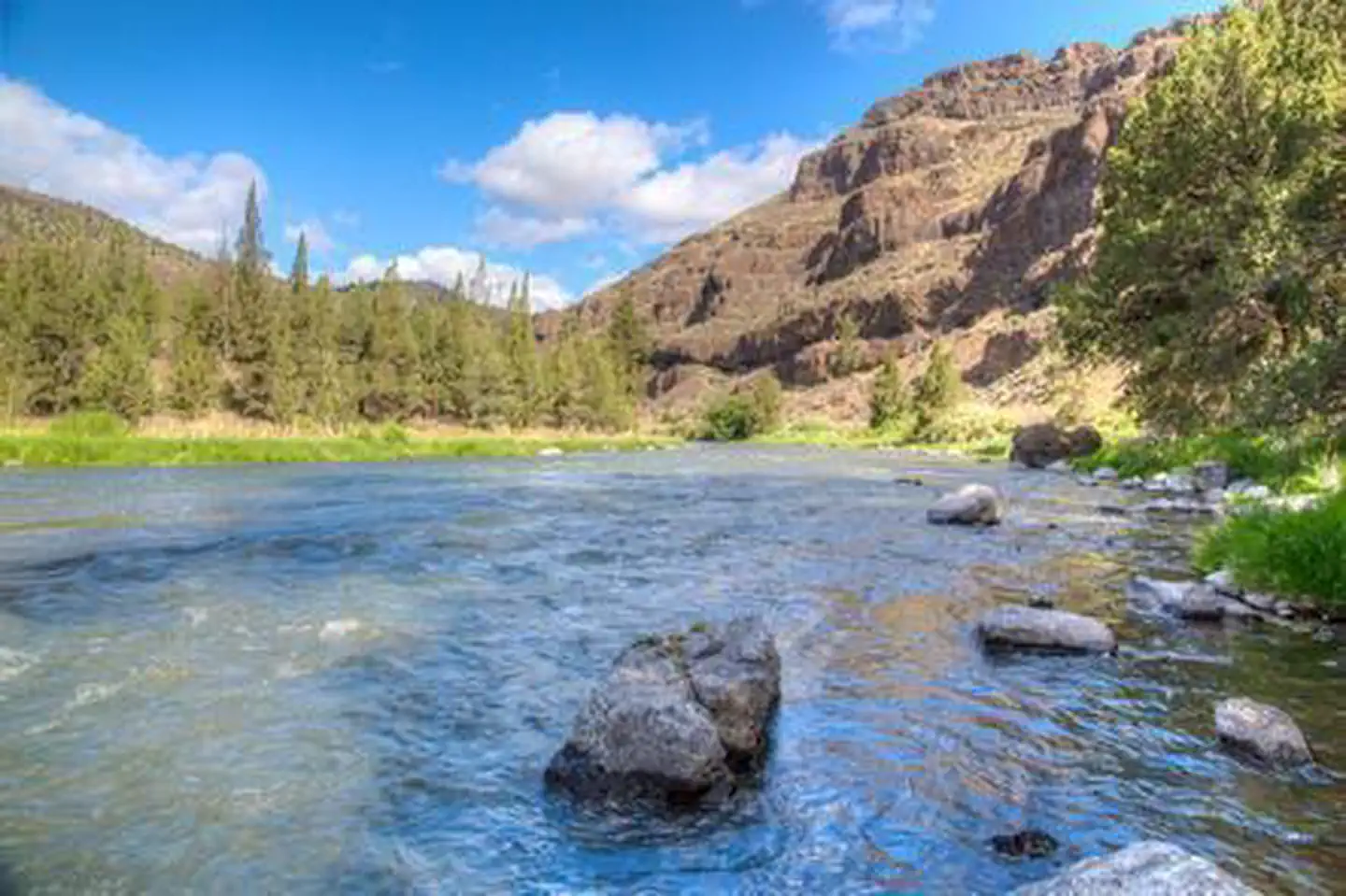
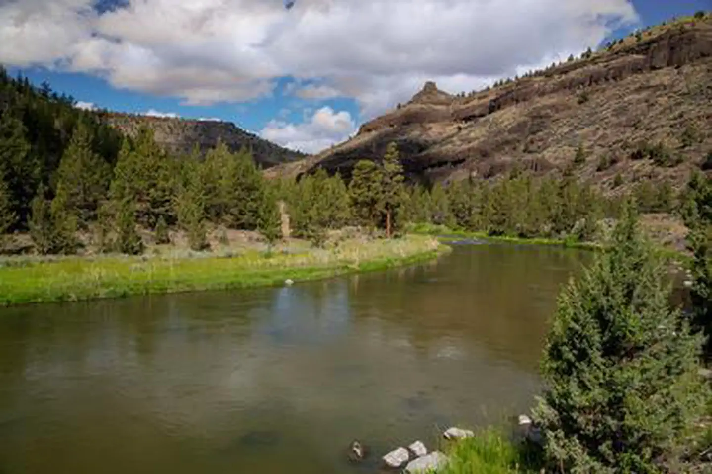
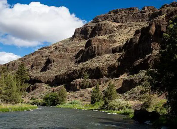
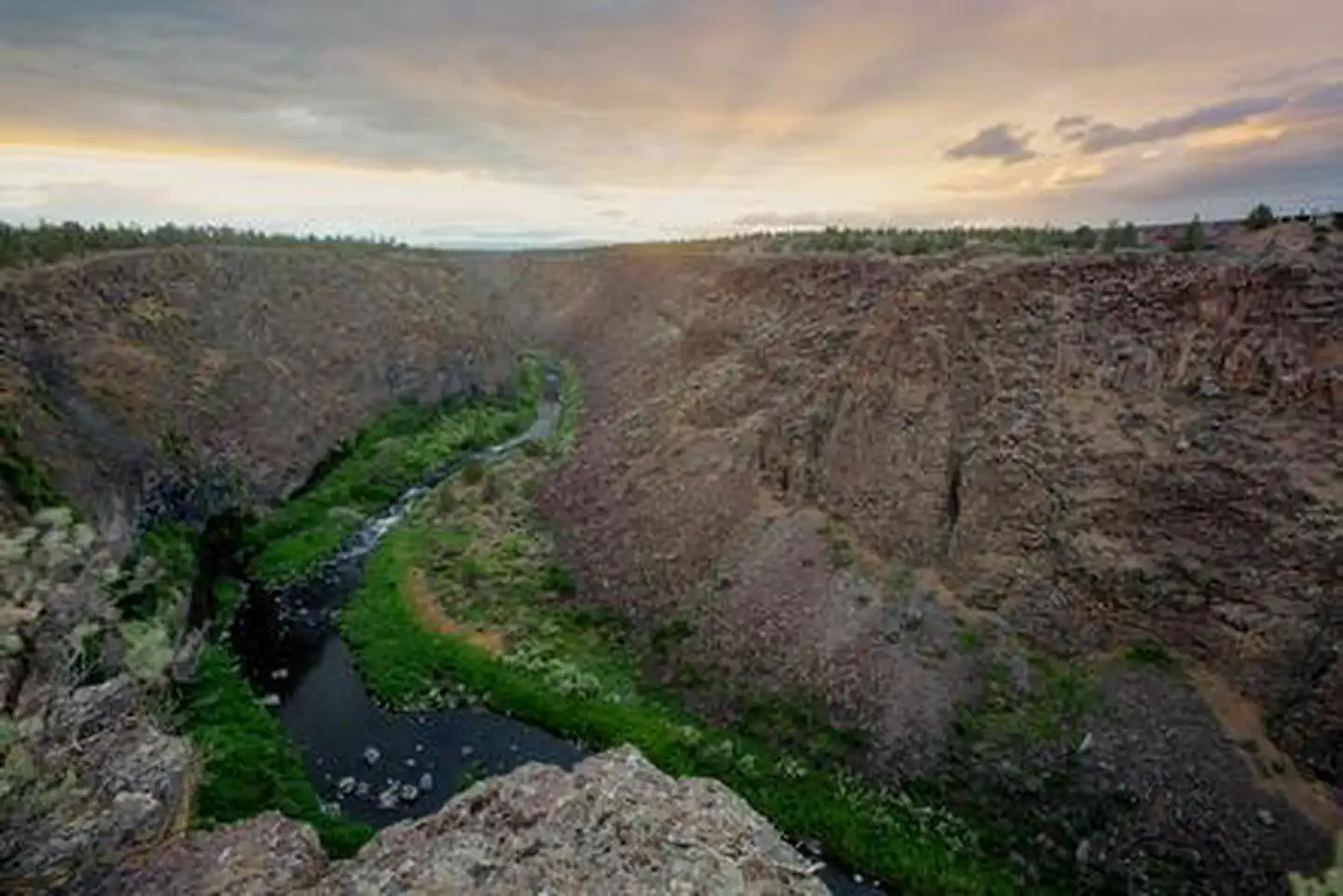
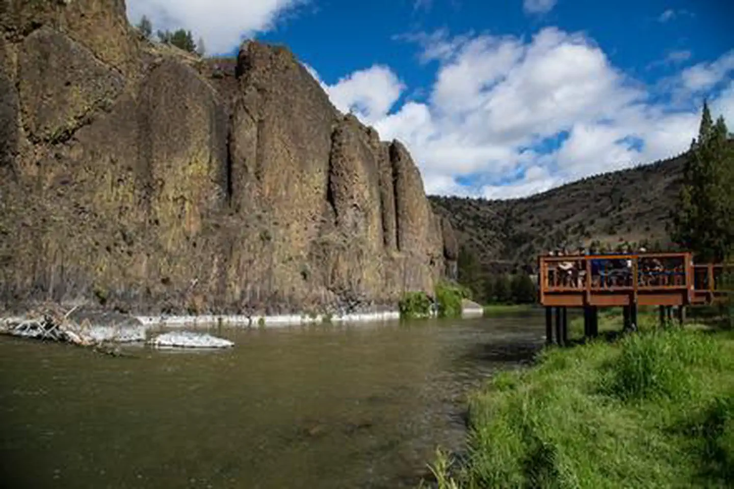
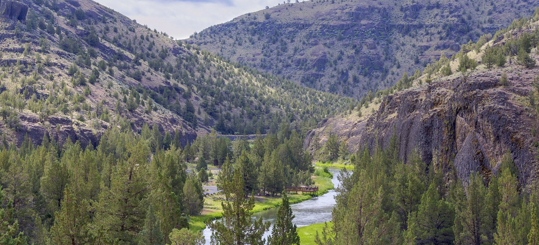
Take a break from your scenic drive along the Lower Crooked Wild and Scenic River south of Prineville and hike one of the gems of the High Desert. Walk in the shadows of lichen-covered basalt cliffs as you zigzag up and out of the river canyon to spectacular views of Central Oregon. The trek is about 1.3 miles and ends…

Advertisement
44.13503, -120.81315
Open in OpenStreetMap
5-Day Forecast

Weather at Chimney Rock Trail

Live forecast for the park. Plan your visit accordingly.

Avg High72°F
Avg Low46°F
Peak Rain Chance12%
Humidity45%
UV (avg)8
Air Quality44 · Good
Today
☁️
Overcast
63°/41°
🌬 13mph
5:23 AM8:38 PM
Sun
Partly Cloudy
69°/39°
🌬 13mph
5:23 AM8:38 PM
Mon
☁️
Overcast
75°/43°
🌬 11mph
5:22 AM8:39 PM
Tue
☁️
Overcast
82°/54°
💧 1%🌬 11mph
5:22 AM8:40 PM
Wed
🌦
Light Drizzle
71°/52°
💧 12%🌬 25mph
5:21 AM8:41 PM

Forecast data © Open-Meteo. Refreshed every 6 hours. Always check the most recent forecast before heading out.

About Chimney Rock Trail

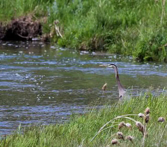
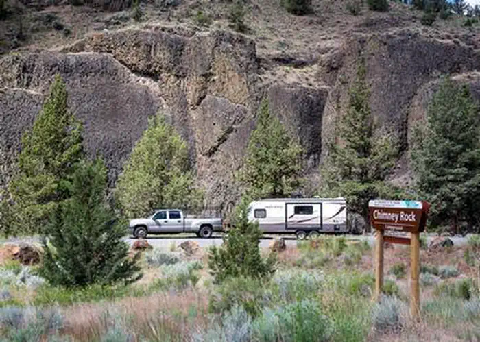
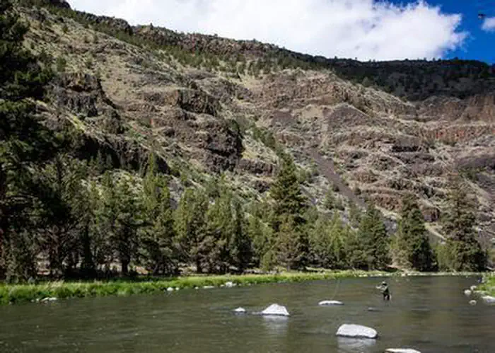
Take a break from your scenic drive along the Lower Crooked Wild and Scenic River south of Prineville and hike one of the gems of the High Desert. Walk in the shadows of lichen-covered basalt cliffs as you zigzag up and out of the river canyon to spectacular views of Central Oregon. The trek is about 1.3 miles and ends at the namesake chimney basalt rock formation. Pause on one of the benches along the way for a drink of water and just absorb the beauty of the area before heading back to your car and the rest of your travels.Know Before You Go:Open YEAR ROUND but really nice in the spring or fall when a little moisture has tamped down the dust.Accessibility out and back trail, 2.6 miles round trip and a little steep at points.Amenities The trail is near Chimney Rock campground, with toilets and potable water near campsite 8.Pets are allowed but should on leash—and please pack out any waste!Point of Interest:This part of the Lower Crooked River has 9 campgrounds and 2 day-use areas. Come for the hike and stay for some wildlife viewing, fly-fishing, and camping!Chimney Rock Brochure360° from top of the Chimney Rock Trail
How to Get There

Head south from Prineville on Highway 27 toward Bowman Dam and Prineville Reservoir about 16 miles. The trailhead is on the opposite side of the road from the Chimney Rock Campground.

Driving directions (Google Maps) →

Plan Your Visit to Chimney Rock Trail

Heading to Chimney Rock Trail? A few things to know before you go:

  • Reservations: popular sites fill up fast — check Recreation.gov 6 months in advance
  • Fees: day-use and camping fees vary; check current rates on the official park page
  • Trash & pack-out: follow Leave No Trace principles
  • Wildlife: store food in bear boxes where provided; never feed wildlife
  • Weather: the 5-day forecast above is updated every 6 hours; verify just before you go

Frequently Asked Questions

Do I need a reservation for Chimney Rock Trail?

No central reservation system listed for Chimney Rock Trail. Check the official page (https://www.recreation.gov/camping/campgrounds/255193) for the latest entry policy and availability.

Is Chimney Rock Trail accessible?

Chimney Rock Trailhead and trail have no accessible facilities.

How do I get to Chimney Rock Trail?

Head south from Prineville on Highway 27 toward Bowman Dam and Prineville Reservoir about 16 miles. The trailhead is on the opposite side of the road from the Chimney Rock Campground.

How do I contact Chimney Rock Trail?

You can reach the park at phone: 541-416-6700 or email: BLM_OR_PR_Mail@blm.gov.