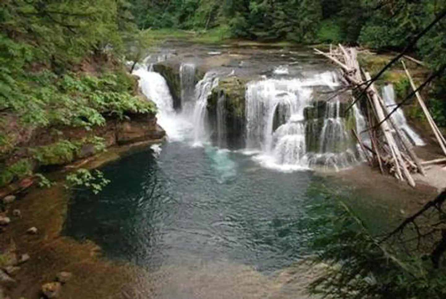
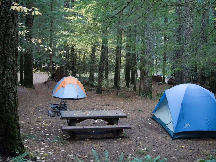
Overview Lower Falls Campground is located in the Gifford Pinchot National Forest. Visitors enjoy several waterfalls in the area and access to the Lewis River Trail. The campground is open from mid-May through October.Recreation Near the campground are several trailheads that provide visitors with a variety of recreati…
Overview Lower Falls Campground is located in the Gifford Pinchot National Forest. Visitors enjoy several waterfalls in the area and access to the Lewis River Trail. The campground is open from mid-May through October.Recreation Near the campground are several trailheads that provide visitors with a variety of recreational opportunities. There are hiking trails, mountain bike trails, horse trails, and motorcycle trails within 10 miles of the campground. The Lewis River contains rainbow, cutthroat, and bull trout as well as whitefish. The area is catch and release only.Facilities Lower Falls Campground offers 43 standard sites that accommodate both tents and RVs (36 feet), but no hookups are available. Picnic tables and campfire rings with grills are provided, as are composting toilets and drinking water. Natural Features The campground is just off the Lewis River at an elevation of 1,300 feet. The campground road is paved and shaded by large evergreen trees. There are trails down to the Lewis River and falls area. Contact Info For facility specific information, please call (661) 702-1420. Nearby Attractions There are falls viewing opportunities at Lower Lewis River Falls, Curly Creek Falls, Big Creek Falls, and Middle Falls, all within 15 minutes of the campground. Hiking trails within 10 miles include trail #31 Lewis River, Trail #5 Quartz Creek, and trail #80 Wright Meadows.
Photos
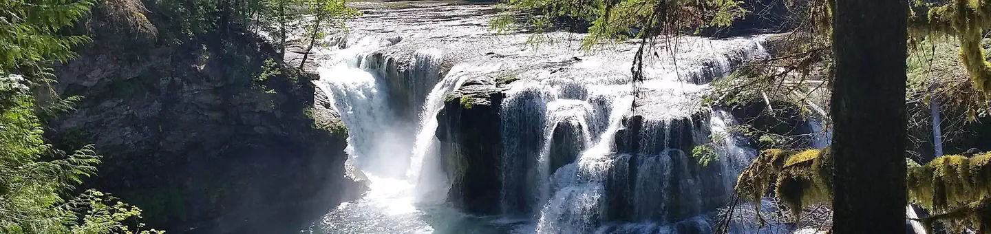
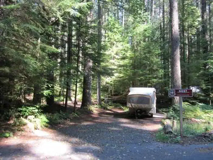
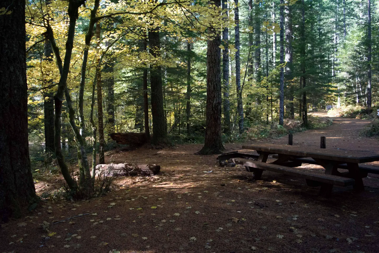
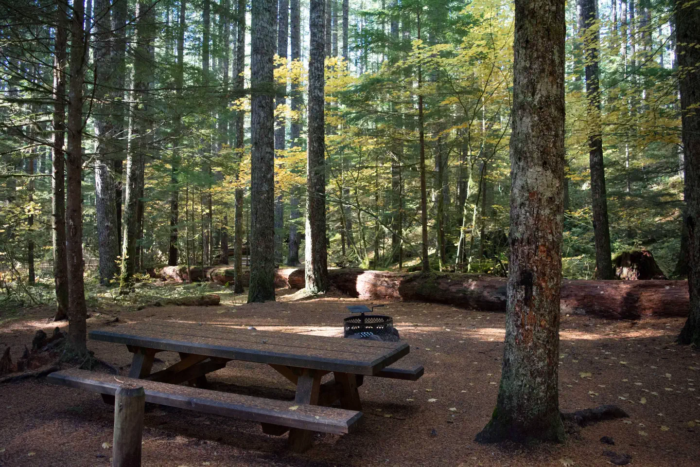
Lower Falls Campsite — Gifford Pinchot National ForestLower Falls Campground in fall — Gifford Pinchot National ForestLower Falls Campground site — Gifford Pinchot National ForestLower Falls from viewing platform — Gifford Pinchot National ForestLower Falls Campground — Gifford Pinchot National Forest
How to Get There
From Portland or Seattle take I-5 to exit 21 for WA-503 E toward Woodland/Cougar. WA-503 will turn into FR 90, turn right at the Pine Creek Visitor Center. Lower Falls Campground will be on your right hand side after you pass mile marker 28 on FR 90.
Download your route in advance via Gaia, Caltopo, or OSM-based apps.
Recommendations adapt to the current forecast + trail stats. Use them as a starting point — local conditions, your experience, and the time of day you start all matter.
Plan Your Visit to LOWER FALLS CAMPGROUND
Heading to LOWER FALLS CAMPGROUND? A few things to know before you go:
Reservations: popular sites fill up fast — check Recreation.gov 6 months in advance
Fees: day-use and camping fees vary; check current rates on the official park page
Trash & pack-out: follow Leave No Trace principles
Wildlife: store food in bear boxes where provided; never feed wildlife
Weather: the 5-day forecast above is updated every 6 hours; verify just before you go
Frequently Asked Questions
Do I need a reservation for LOWER FALLS CAMPGROUND?
No central reservation system listed for LOWER FALLS CAMPGROUND. Check the official page (https://www.recreation.gov/camping/campgrounds/250032) for the latest entry policy and availability.
How many campsites are at LOWER FALLS CAMPGROUND?
LOWER FALLS CAMPGROUND has 44 campsites. Site amenities (hookups, vehicle limits, ADA access) vary — see the individual campsite pages for details.
How do I get to LOWER FALLS CAMPGROUND?
From Portland or Seattle take I-5 to exit 21 for WA-503 E toward Woodland/Cougar. WA-503 will turn into FR 90, turn right at the Pine Creek Visitor Center. Lower Falls Campground will be on your right hand side after you pass mile marker 28 on FR 90.
How do I contact LOWER FALLS CAMPGROUND?
You can reach the park at phone: 509-395-3400 or email: [email protected].