Overview Big River Campground is located along the Deschutes River south of the town of Sunriver. Large, open group sites offer a perfect setting for family reunions or group gatherings. Recreation Popular activities in the area include hiking, fishing and rafting in the summer months and cross-country skiing and snows…
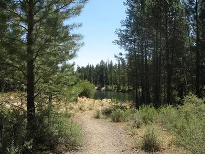
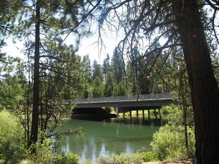
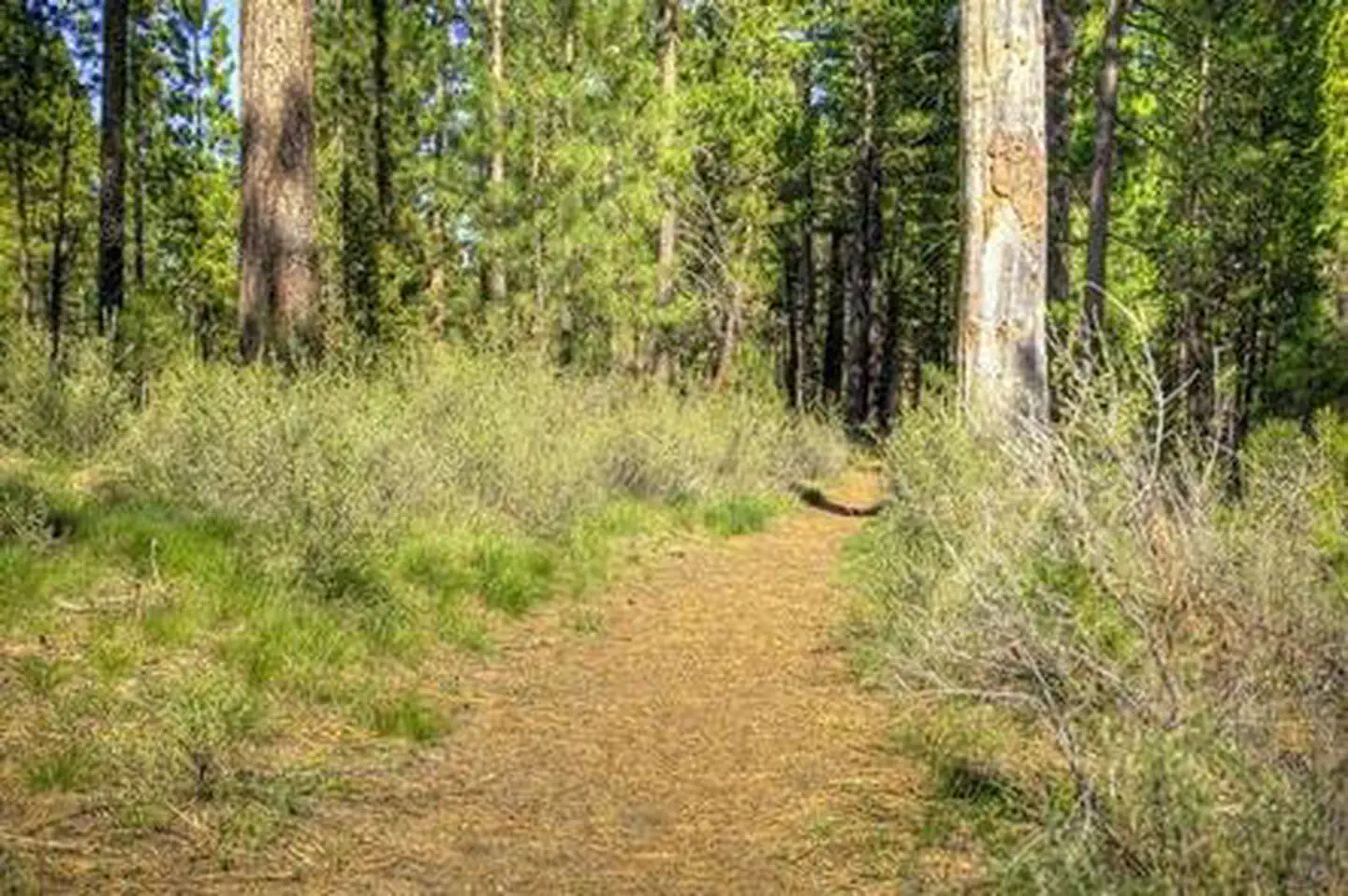
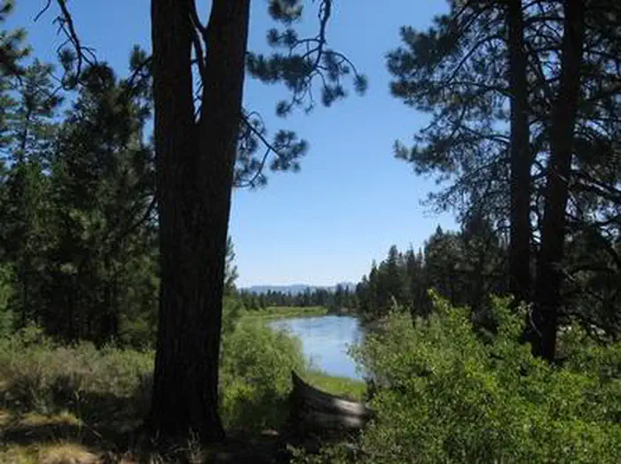
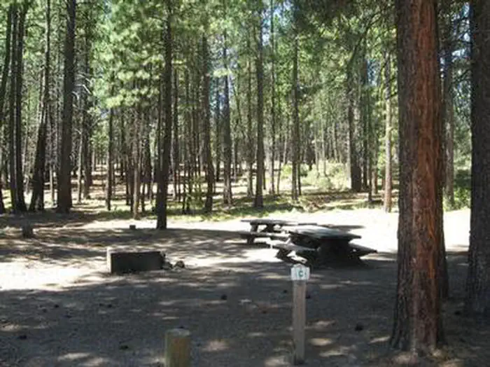
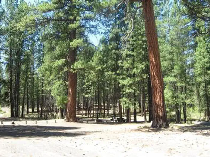
Overview Big River Campground is located along the Deschutes River south of the town of Sunriver. Large, open group sites offer a perfect setting for family reunions or group gatherings. Recreation Popular activities in the area include hiking, fishing and rafting in the summer months and cross-country skiing and snowshoeing in the winter. Big River provides the perfect place to launch a canoe or kayak into the Deschutes River. Only non-motorized boating is permitted on the river, and the water is Class II flatwater for about 6 miles below Sunriver. The Deschutes River is renowned for its fly fishing, and sustains populations of kokanee, rainbow, bull and brown trout. Boat fishing or drift fishing is the best way to catch fish at this part of the river.Facilities Big River Campground offers three group sites that accommodate both tent and RV camping and 10 single sites.The sites are equipped with picnic tables, campfire rings with grills and vault toilets. A boat launch is located across the road and provides access to the waterfront. Natural Features Nearby peaks, lava flows and Ponderosa pine stands provide visitors with a variety of landscapes, showcasing ecosystems typical of central Oregon. The Deschutes River, a tributary of the Columbia River, is central to the campground. The river flows through areas of ponderosa and aspen, with its shoreline varying from marshy meadows to basalt bedrock. Flows fluctuate less on this part of the river because of tributaries, and the river features many deep pools, a relatively stable bank and rocky in-stream structure. Wildlife found in the area include deer, elk, native fish and migratory birds. Nearby Attractions Visitors can explore wilderness areas, rivers, lakes and reservoirs, and hundreds of miles of hiking trails. Newberry National Volcanic Monument offers a glimpse into Central Oregon's rich geologic history. Travel 12 miles to Lava Lands Visitor Center to explore exhibits at the interpretive center, attend a range
Photos
BIG RIVERBIG RIVERBIG RIVERBIG RIVERBIG RIVER
How to Get There
From Bend travel south on Hwy. 97 for about 17 miles, then make a right onto Vandervert Road. Make a left onto S. Century Dr. then another right to stay on S Century Dr. Follow S Century Dr. / NF-4205, then make a right onto Bonanza Lane, and another right to stay on Bonanza which will lead you into the campground.
Download your route in advance via Gaia, Caltopo, or OSM-based apps.
Recommendations adapt to the current forecast + trail stats. Use them as a starting point — local conditions, your experience, and the time of day you start all matter.
Plan Your Visit to BIG RIVER
Heading to BIG RIVER? A few things to know before you go:
Reservations: popular sites fill up fast — check Recreation.gov 6 months in advance
Fees: day-use and camping fees vary; check current rates on the official park page
Trash & pack-out: follow Leave No Trace principles
Wildlife: store food in bear boxes where provided; never feed wildlife
Weather: the 5-day forecast above is updated every 6 hours; verify just before you go
Frequently Asked Questions
Do I need a reservation for BIG RIVER?
No central reservation system listed for BIG RIVER. Check the official page (https://www.recreation.gov/camping/campgrounds/233217) for the latest entry policy and availability.
How many campsites are at BIG RIVER?
BIG RIVER has 13 campsites. Site amenities (hookups, vehicle limits, ADA access) vary — see the individual campsite pages for details.
How do I get to BIG RIVER?
From Bend travel south on Hwy. 97 for about 17 miles, then make a right onto Vandervert Road. Make a left onto S. Century Dr. then another right to stay on S Century Dr. Follow S Century Dr. / NF-4205, then make a right onto Bonanza Lane, and another right to stay on Bonanza which will lead you into the campground.