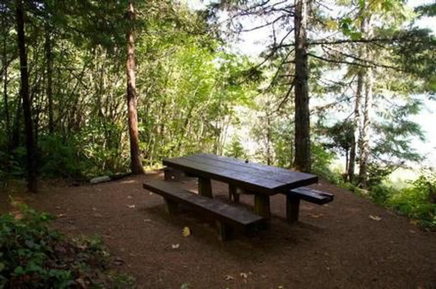
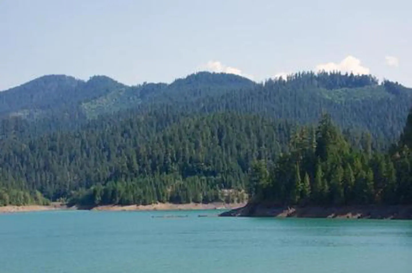
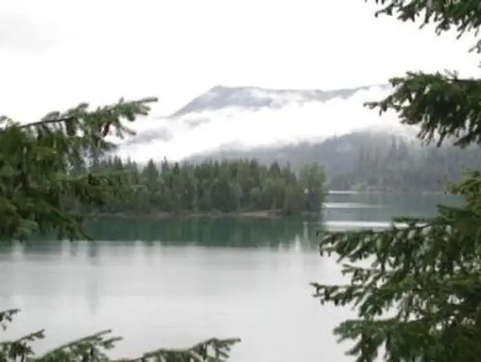
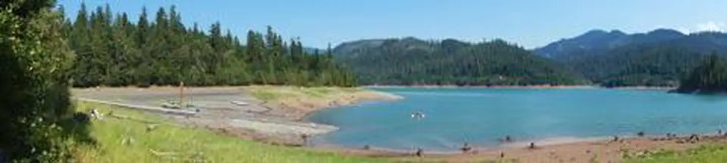
Overview Packard Creek is a popular campground on the western side of Hills Creek Reservoir. The family-friendly destination offers a picturesque setting among tall trees, with views of the lake beyond. Most of the campground is accessible.Recreation Larison Creek Trail is excellent for mountain biking, horseback ridin…
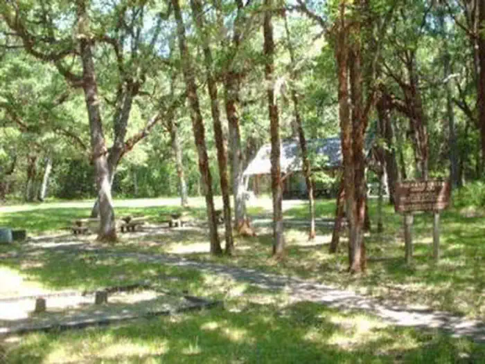
Overview Packard Creek is a popular campground on the western side of Hills Creek Reservoir. The family-friendly destination offers a picturesque setting among tall trees, with views of the lake beyond. Most of the campground is accessible.Recreation Larison Creek Trail is excellent for mountain biking, horseback riding and hiking. It meanders along Larison Cove and Larison Creek, through lush vegetation of hemlock, Douglas fir and red cedar. Visitors also enjoy boating, swimming and fishing. Anglers often catch catfish, blue gill, crappie and coho salmon. A fishing dock, swimming area and boat ramp can be found in the day use area.Facilities There are 36 standard campsites, 14 are reservable. Each campsite is equipped with a picnic table and a campfire ring. There is also a reservable group campground, which accommodates up to 80 people, has a large picnic shelter and open space for tents. Some sites have individual boat docks as well.Natural Features The campground is situated on a large flat beside Hills Creek Reservoir. The lake, hugged by a diverse mix of vegetation, covers 2,735 acres with 44 miles of shoreline in Willamette National Forest. Nearby Attractions The campground is near Oakridge, Oregon, once a railroad boomtown at the turn of the 20th century. Other noteworthy places include many hot springs found within the forest.
Photos
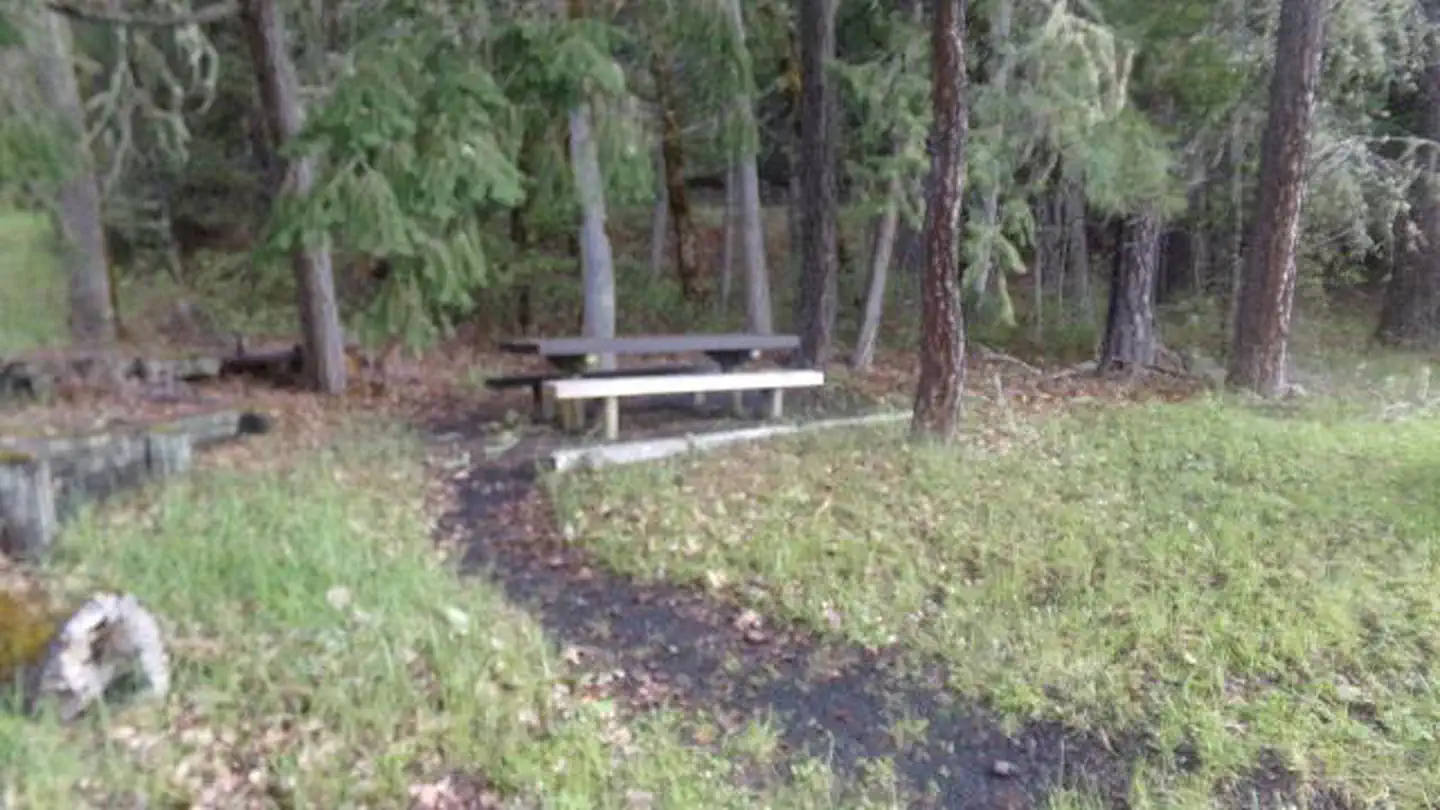
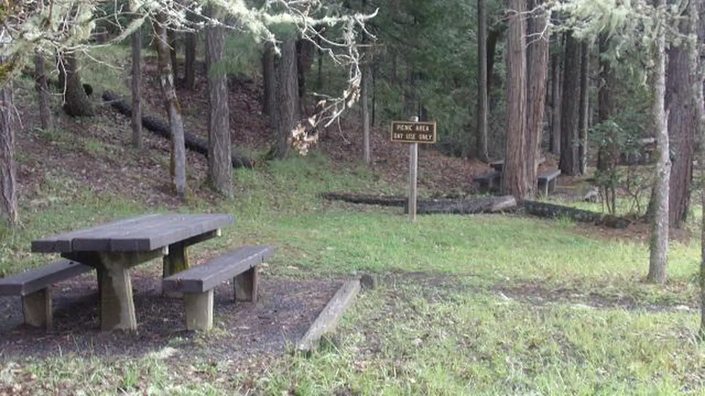
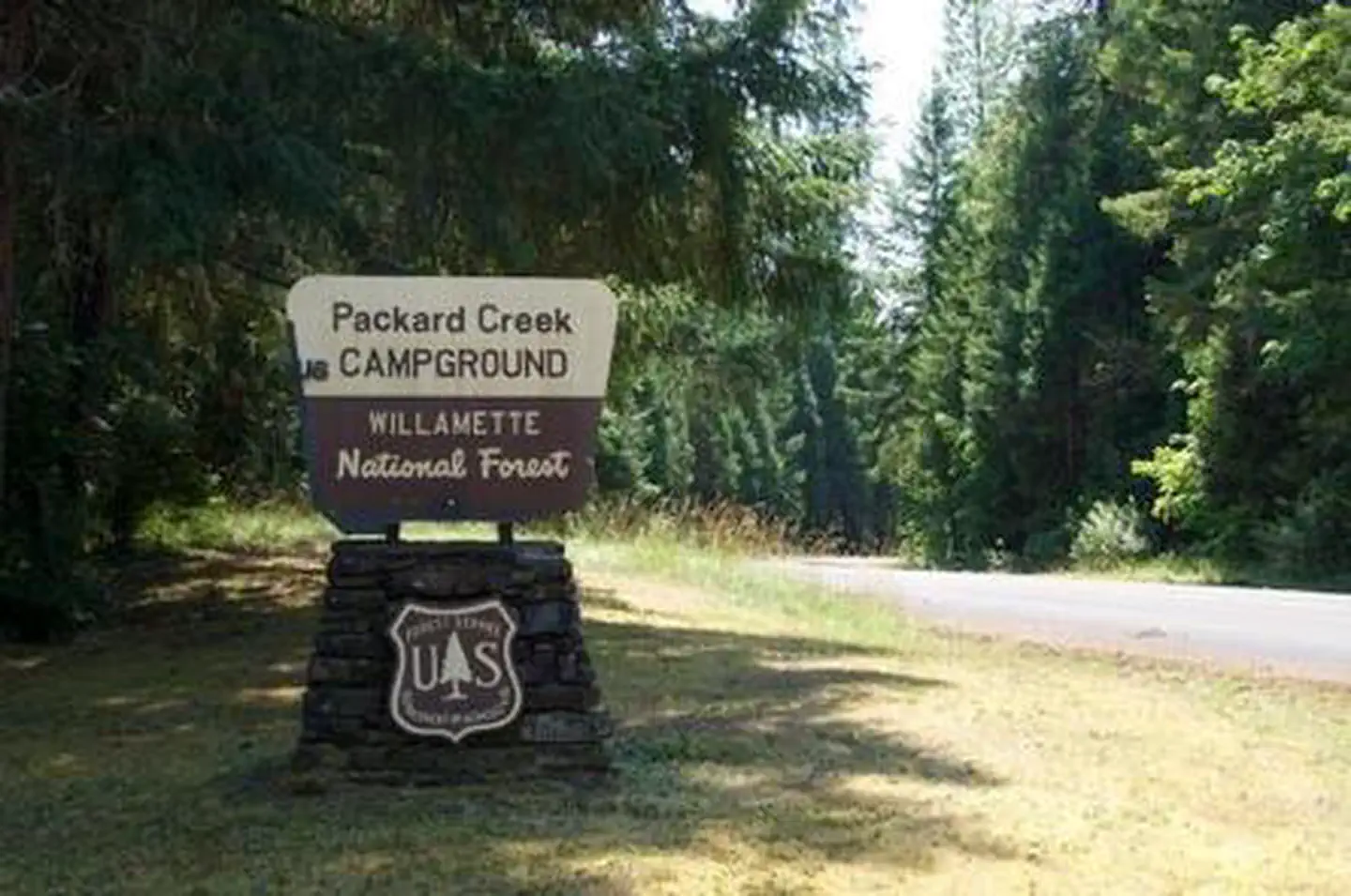
Picnic Area 2 — AL&LPackard Creek Sign — AL&LPACKARD CREEK PACKARD CREEK PACKARD CREEK PACKARD CREEK PACKARD CREEK PACKARD CREEK
How to Get There
From Oakridge, Oregon: Beginning at the intersection of Crestview Street and Oregon State Highway 58 (the only traffic light along State Highway 58 in Oakridge), travel east on Highway 58 for 1.7 miles. At the intersection with Kitson Springs Road, turn right and travel for 0.5 miles. Turn right on Forest Road 21, and travel for approximately 5.2 miles. The destination will be on your left.
Download your route in advance via Gaia, Caltopo, or OSM-based apps.
Recommendations adapt to the current forecast + trail stats. Use them as a starting point — local conditions, your experience, and the time of day you start all matter.
Plan Your Visit to PACKARD CREEK
Heading to PACKARD CREEK? A few things to know before you go:
Reservations: popular sites fill up fast — check Recreation.gov 6 months in advance
Fees: day-use and camping fees vary; check current rates on the official park page
Trash & pack-out: follow Leave No Trace principles
Wildlife: store food in bear boxes where provided; never feed wildlife
Weather: the 5-day forecast above is updated every 6 hours; verify just before you go
Frequently Asked Questions
Do I need a reservation for PACKARD CREEK?
No central reservation system listed for PACKARD CREEK. Check the official page (https://www.recreation.gov/camping/campgrounds/232894) for the latest entry policy and availability.
How many campsites are at PACKARD CREEK?
PACKARD CREEK has 40 campsites. Site amenities (hookups, vehicle limits, ADA access) vary — see the individual campsite pages for details.
How do I get to PACKARD CREEK?
From Oakridge, Oregon: Beginning at the intersection of Crestview Street and Oregon State Highway 58 (the only traffic light along State Highway 58 in Oakridge), travel east on Highway 58 for 1.7 miles. At the intersection with Kitson Springs Road, turn right and travel for 0.5 miles. Turn right on Forest Road 21, and travel for approximately 5.2 miles. The destination will be on your left.
How do I contact PACKARD CREEK?
You can reach the park at phone: 801-226-3564 or email: [email protected].