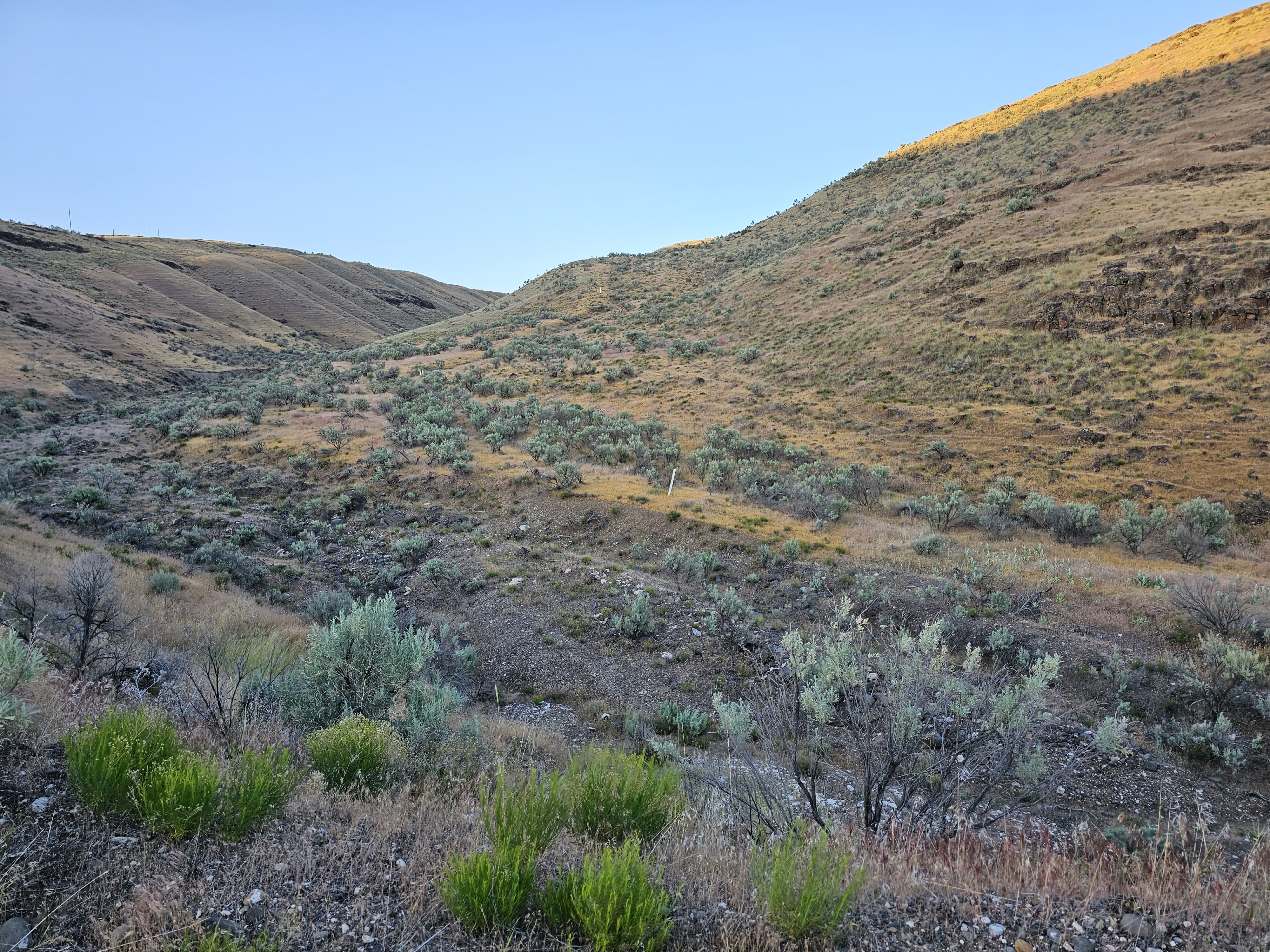
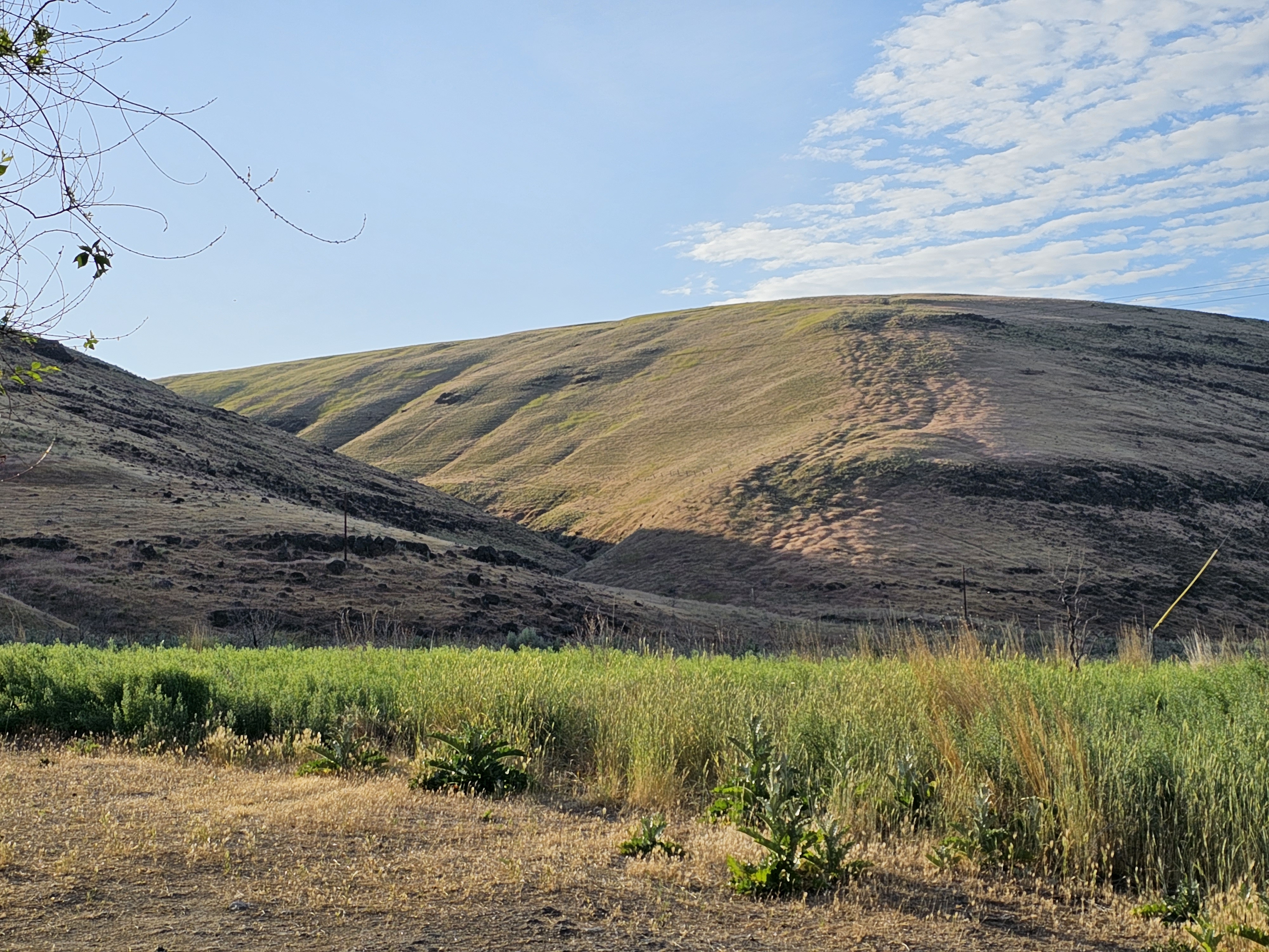
Situated on the east bank of the lower John Day River, this site marks the location where two branches of the Oregon trail converged to meet at the John Day River crossing. Looking up on the hillside, one can see white markers planted to mark the actual routes as they descend the hillside. Imagine trying to keep wagons…
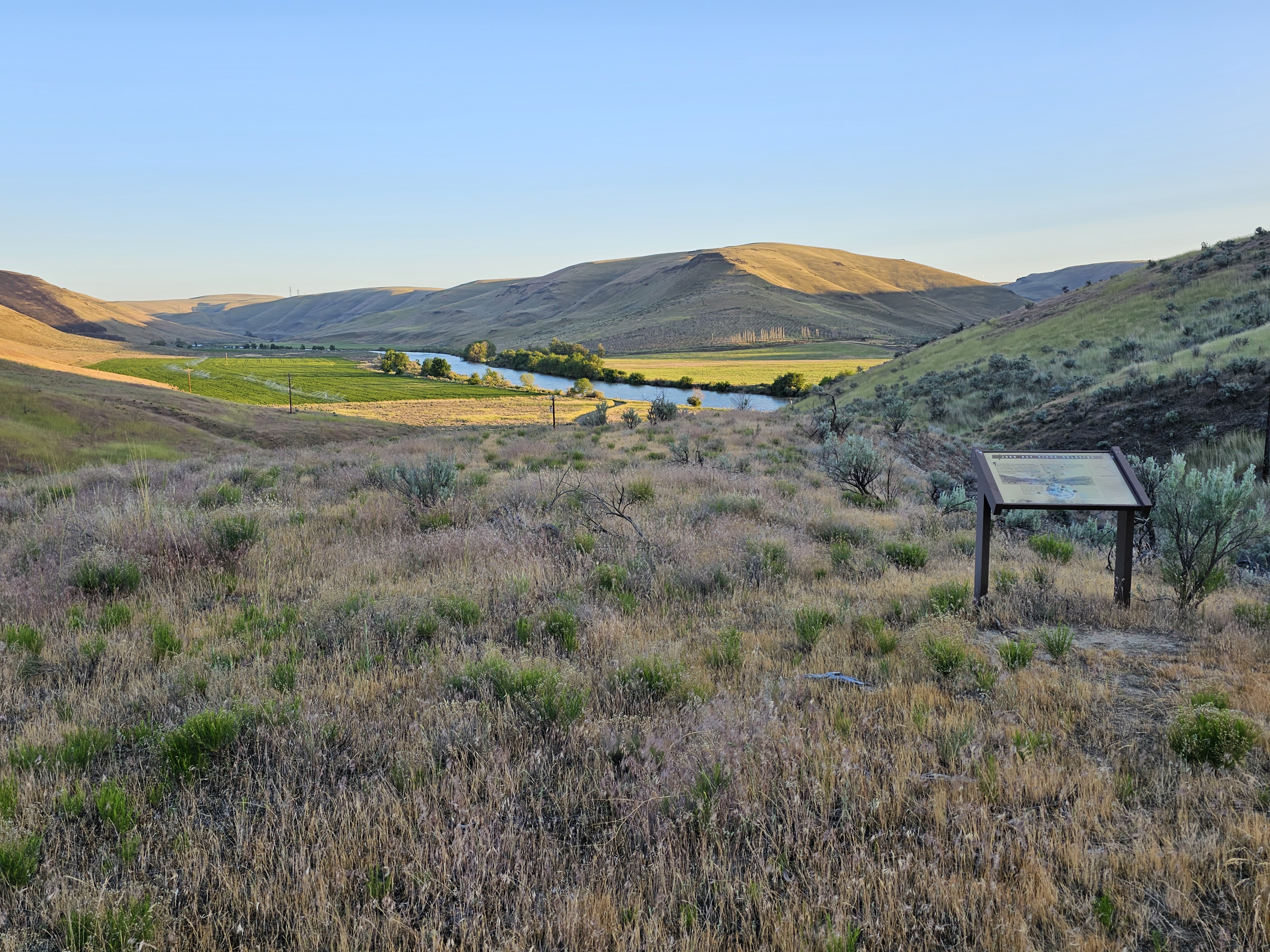
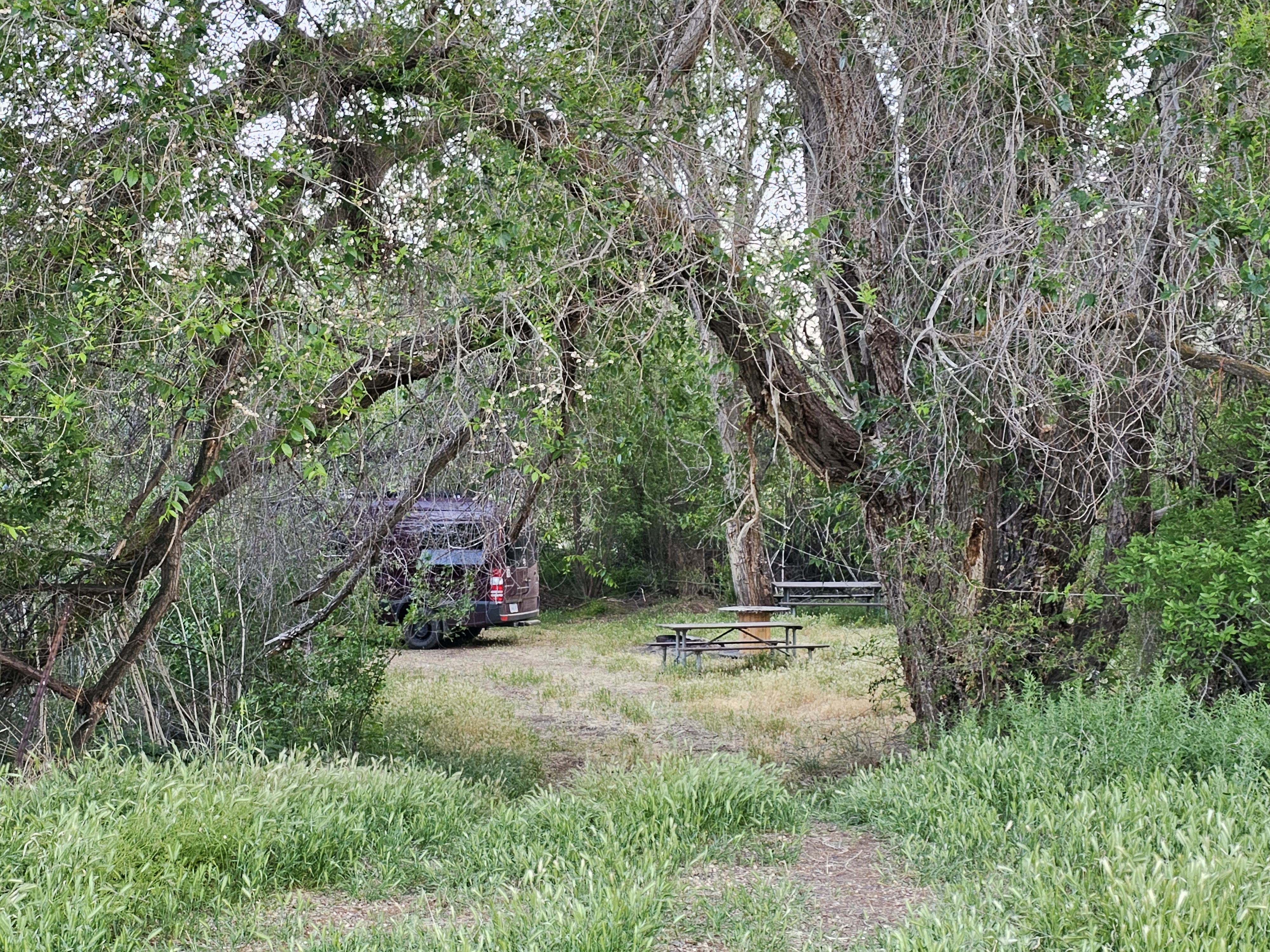
Situated on the east bank of the lower John Day River, this site marks the location where two branches of the Oregon trail converged to meet at the John Day River crossing. Looking up on the hillside, one can see white markers planted to mark the actual routes as they descend the hillside. Imagine trying to keep wagons and stock from plunging down the hillside, unchecked. Some emigrants who descended one branch of the Oregon Trail here are said to have remarked that the other branch must have been better because it could not be worse than the one they descended.Follow the trail markers along the road just above the historic site for ¼ mile to a small interpretive site. Here, one afforded a vantage of the approach of the John Day River crossing. Depending on the time of year one views the crossing, the river’s volume of water can look quite ominous. Most of the journal entries date from the late summer and fall, however, when water levels on this free-flowing river are greatly reduced. Today, a primitive boat launch is used as the last public takeout on the John Day Wild & Scenic River before Tumwater Falls.Know Before You GoOpen year-roundPaved road access via Rock Creek ends at McDonald Ferry Road. This final, 2-mile stretch is unmaintained and impassable when wet or inundated.If traveling to the site via Cedar Springs, check out the interpretive panel at Cedar Springs Ranch, a stopover for Oregon Trail emigrants before the descent to the John Day River. This site is located on private property; please be respectful of this.The site features a small, primitive campsite nestled in a cottonwood grove, picnic tables and a vault toilet.No services, including potable water or garbage service is available onsite—please pack out your trash.An annual fire closure is in effect from June 1 through October 15. Prohibited acts during this closure period include building, igniting, maintaining, attending, using, tending, or being within 20 feet of a campfire, charcoal fire, or
Photos
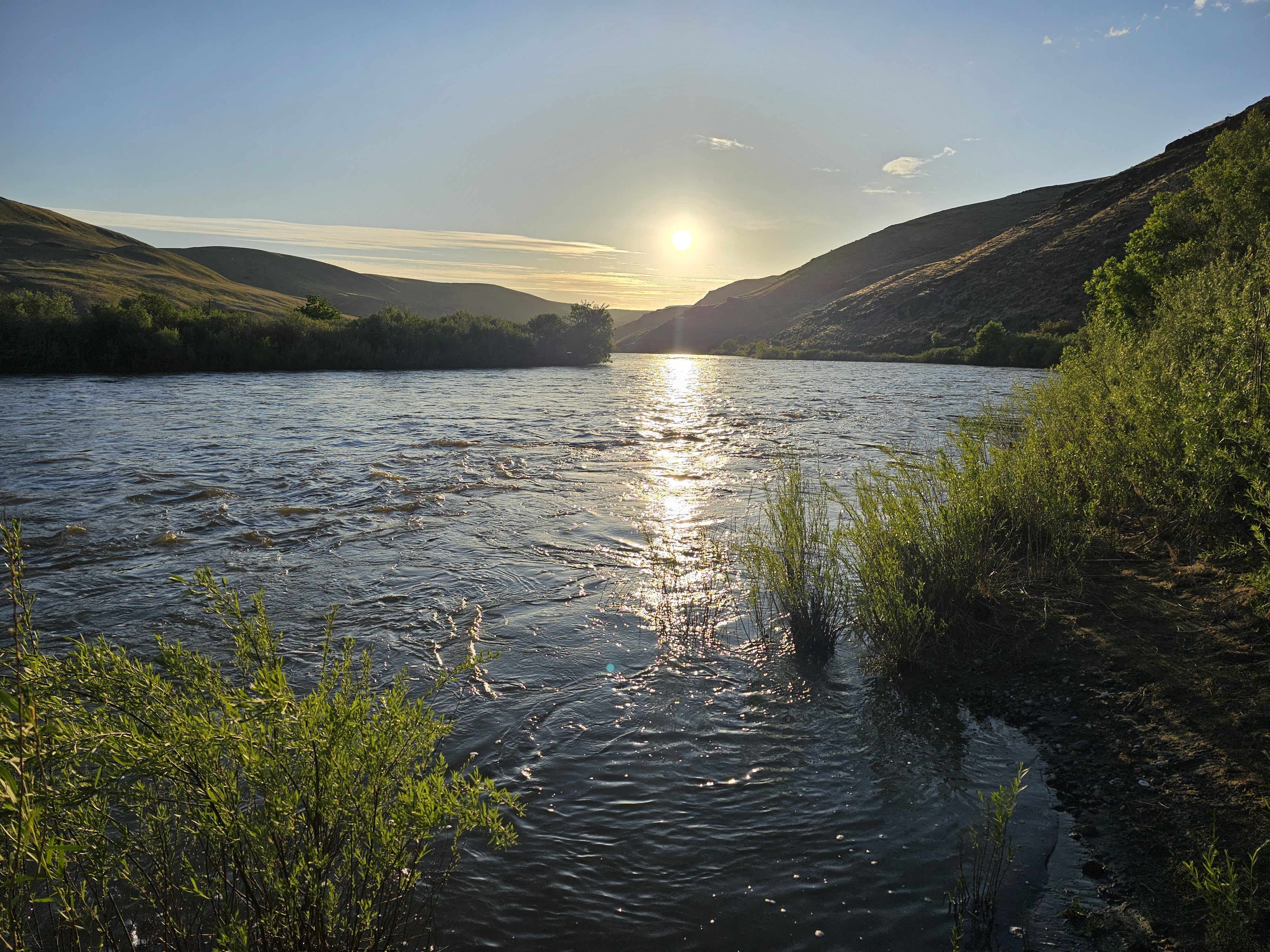
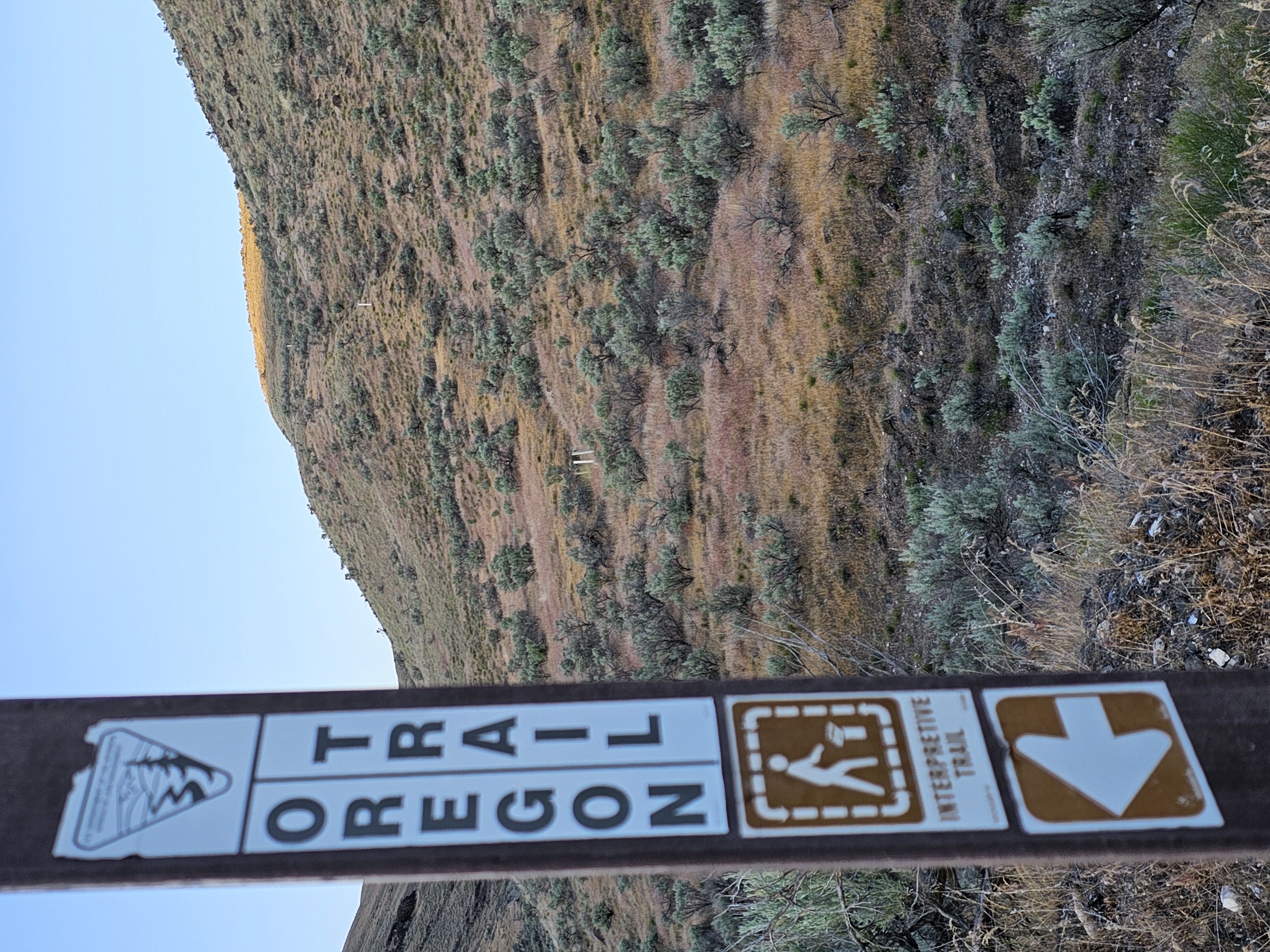
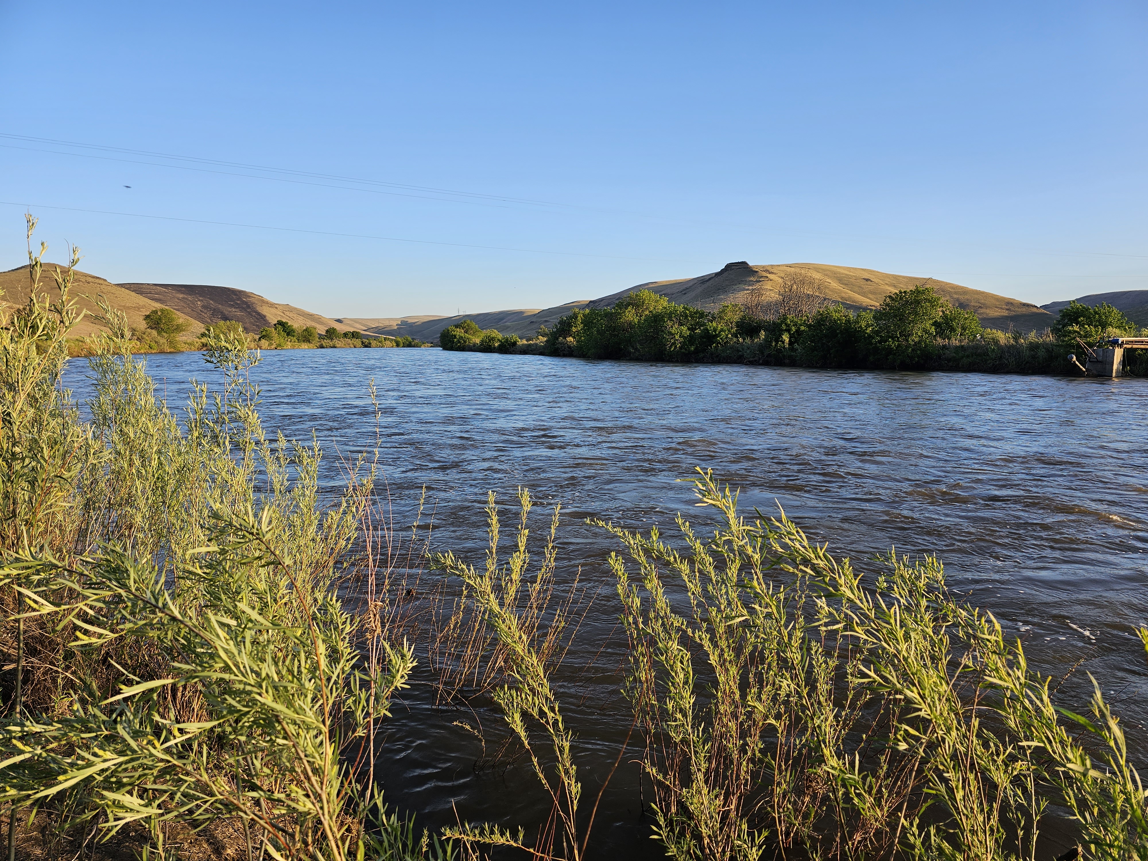
Oregon Trail Marker — BLMInterpretive site above the John Day River crossing — BLMNear the John Day River Crossing at 8000 cubic feet per second. — BLMView of hillside descent of the Oregon Trail at the John Day crossing. — BLMLooking east from the John Day Crossing Historic Site. — BLMPrimitive campsite at the John Day Crossing Historic Site. — BLM
How to Get There
From Arlington, Oregon: Drive 6.7 miles south along State Highway 19, the John Day Highway. Turn right onto Cedar Springs Lane and continue for 9.2 miles. Make another right onto Lower Rock Creek Lane and proceed another 5.5 miles. Nearing the John Day River, turn right again onto the gravel and dirt McDonald Ferry Road and continue another 2 miles to the historic site.
Plan Your Visit to John Day Crossing Historic Site
Heading to John Day Crossing Historic Site? A few things to know before you go:
Reservations: popular sites fill up fast — check Recreation.gov 6 months in advance
Fees: day-use and camping fees vary; check current rates on the official park page
Trash & pack-out: follow Leave No Trace principles
Wildlife: store food in bear boxes where provided; never feed wildlife
Weather: the 5-day forecast above is updated every 6 hours; verify just before you go
Frequently Asked Questions
Do I need a reservation for John Day Crossing Historic Site?
No central reservation system listed for John Day Crossing Historic Site. Check the official page (https://www.recreation.gov/camping/campgrounds/10279174) for the latest entry policy and availability.
Is John Day Crossing Historic Site accessible?
No accessible facilities.
How do I get to John Day Crossing Historic Site?
From Arlington, Oregon: Drive 6.7 miles south along State Highway 19, the John Day Highway. Turn right onto Cedar Springs Lane and continue for 9.2 miles. Make another right onto Lower Rock Creek Lane and proceed another 5.5 miles. Nearing the John Day River, turn right again onto the gravel and dirt McDonald Ferry Road and continue another 2 miles to the historic site.
How do I contact John Day Crossing Historic Site?
You can reach the park at phone: 541-416-6700 or email: [email protected].