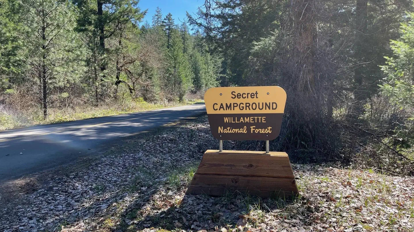
Overview This small campground is now a group site and is well-screened from Forest Service Road 21. The Middle Fork Willamette River is directly adjacent to some of the sites. Popular activities include fishing, hiking, mountain biking, and horseback riding. The nearby Middle Fork National Recreation Trail cna be easi…
Overview This small campground is now a group site and is well-screened from Forest Service Road 21. The Middle Fork Willamette River is directly adjacent to some of the sites. Popular activities include fishing, hiking, mountain biking, and horseback riding. The nearby Middle Fork National Recreation Trail cna be easily accessed from the campgound. Please note that special fishing regulations apply to this section of the Middle Fork; refer to the Oregon Department of Fish and Wildlife regulations for the most up-to-date information. Recreation This site has diverse recreation opportunities located nearby that allow everyone in the group to experience the forest in their own preferred way. Activities such as kayaking, paddle boarding, and boating are available on the Middle Fork as well as Hills Creek Reservoir. Fishing opportunities also abound, but be sure to research the fishing restrictions for the local area before arriving. Nearby trails offer scenic views for hikers, mountain bikers, and equestrians. Facilities The campground has one communal restroom as well as regular trash service. Natural Features This secluded campground has several well-shaded campsites along the edge of the Middle Fork River. The river as well as Hills Creek Reservoir offer scenic vistas, as well as the nearby Young's Rock, Larrison Rock, and Chuckle Springs. Nearby Attractions Middle Fork River, Hills Creek Reservoir, Young's Rock, Larrison Rock, Chuckle Springs, Indigo Springs
Photos
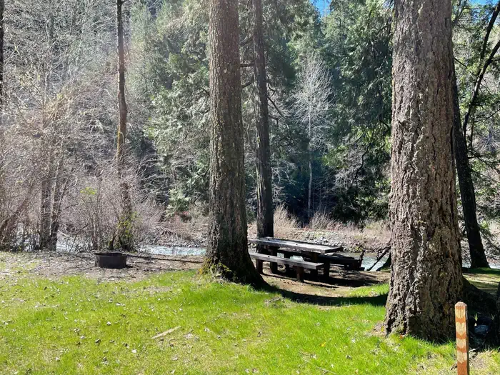
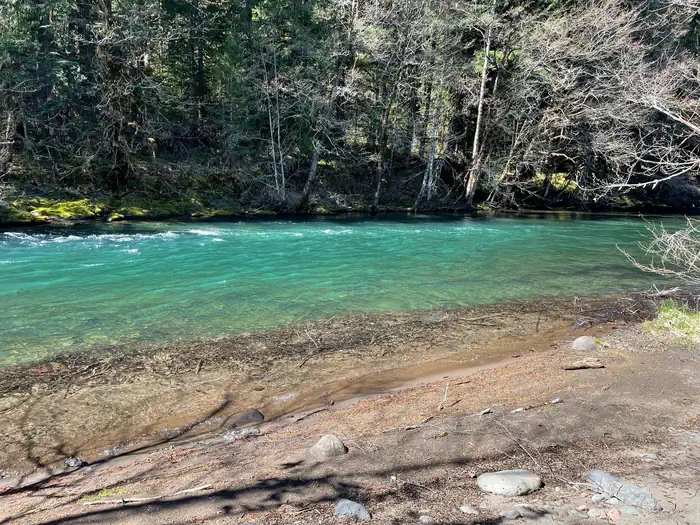
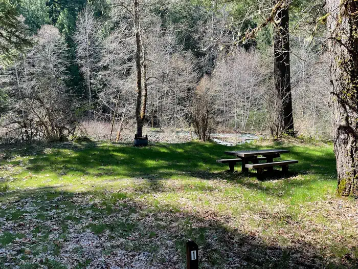
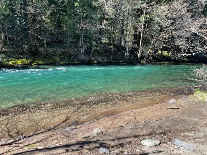
A grassy campsite with a wooden table and metal fire ring. A river flows by the far side of the site. — USFSA sandy beach leads into a small and slow-moving river. The water is very clean and small trees overhang the opposite bank. — USFSA grassy campsite on the bank of a river. The site has a wooden picnic table and a metal fire ring. — USFSA sandy beach leads into a small and slow-moving river. The water is very clean and small trees overhang the opposite bank. — USFS
How to Get There
Exit I-5 heading east on Highway 58 towards Oakridge, OR. On the east side of Oakridge, just past mile marker 37, take a right onto Kitson Springs Road. In approximately half a mile take a right onto Forest Service Road 21. Just past mile marker 18 the entrance to the campground will be on the right.
Download your route in advance via Gaia, Caltopo, or OSM-based apps.
Recommendations adapt to the current forecast + trail stats. Use them as a starting point — local conditions, your experience, and the time of day you start all matter.
Plan Your Visit to Secret
Heading to Secret? A few things to know before you go:
Reservations: popular sites fill up fast — check Recreation.gov 6 months in advance
Fees: day-use and camping fees vary; check current rates on the official park page
Trash & pack-out: follow Leave No Trace principles
Wildlife: store food in bear boxes where provided; never feed wildlife
Weather: the 5-day forecast above is updated every 6 hours; verify just before you go
Frequently Asked Questions
Do I need a reservation for Secret?
No central reservation system listed for Secret. Check the official page (https://www.recreation.gov/camping/campgrounds/10165611) for the latest entry policy and availability.
How many campsites are at Secret?
Secret has 1 campsites. Site amenities (hookups, vehicle limits, ADA access) vary — see the individual campsite pages for details.
How do I get to Secret?
Exit I-5 heading east on Highway 58 towards Oakridge, OR. On the east side of Oakridge, just past mile marker 37, take a right onto Kitson Springs Road. In approximately half a mile take a right onto Forest Service Road 21. Just past mile marker 18 the entrance to the campground will be on the right.
How do I contact Secret?
You can reach the park at phone: N/A or email: N/A.