Idleyld Park, Oregon · Douglas County · Campground
Overview Reservations must be made 5 days prior to arrival. Disregard the "FF" (First-Come-First-Serve) availability. We do not allow on-site transactions. Off the beaten path, this minimally developed campground along Canton Creek features riverside picnic sites, drinking water spigots, and a vault restroom facility. …
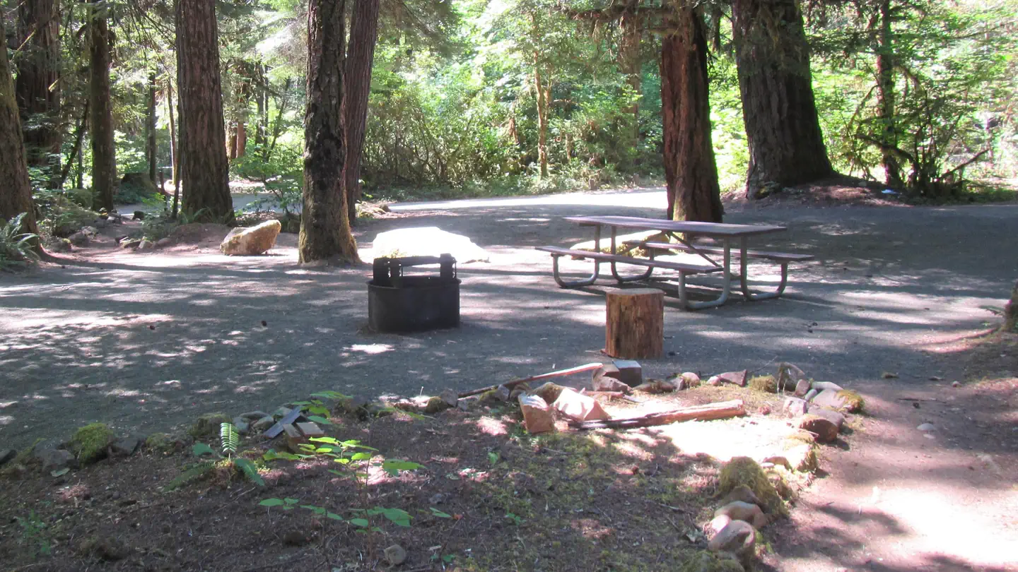
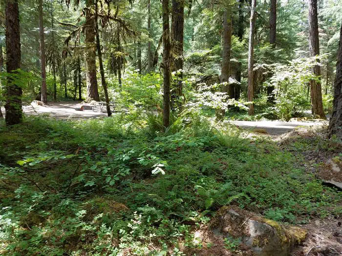
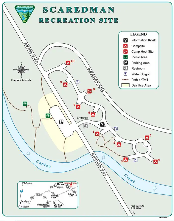
Overview Reservations must be made 5 days prior to arrival. Disregard the "FF" (First-Come-First-Serve) availability. We do not allow on-site transactions. Off the beaten path, this minimally developed campground along Canton Creek features riverside picnic sites, drinking water spigots, and a vault restroom facility. Nearby, there are several outstanding undeveloped swimming holes along both Canton and Steamboat Creeks. Canton Creek and Steamboat Creek are closed to all angling. Just 3 miles downstream from Scaredman, the North Umpqua River offers world-class fly-fishing. Recreation Picnicing, relaxing, and swimming are the primary recreation activites taking place at Cavitt Creek Recreation Site. Fishing and whitewater rafting activites can take place just 3 miles downstream on the North Umpqua River. Facilities Scaredman has 10 campsites with tables and fire rings. Drinking water is currently unavailable from spigots within the campground. A vault toilet on site. Campers will also have access to the riverside day-use area. Natural Features The recreation site is remote in heavily wooded area of different species. The campground and day-use area are at 1390' along a creek and many waterfalls, rivers, and forests are in the surrounding region. Nearby Attractions Within a short drive from the campground you can have opportunities for day of rafting on the North Umpqua, fishing, hiking, viewing waterfalls, or driving along the Rogue - Umpqua National Scenic Byway. Just 3 miles downstream from Canton Creek is Steamboat Creek, a short tributary of the North Umpqua River, that can provide many opportunites for swimming.
Photos
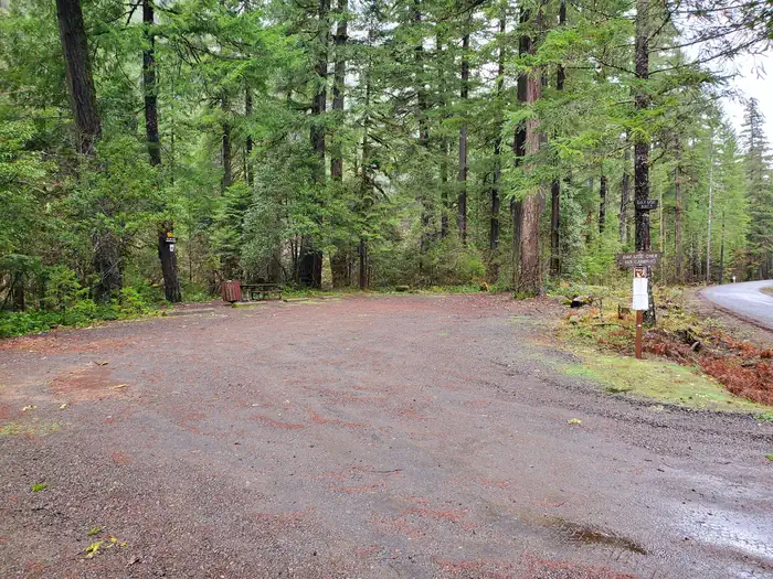
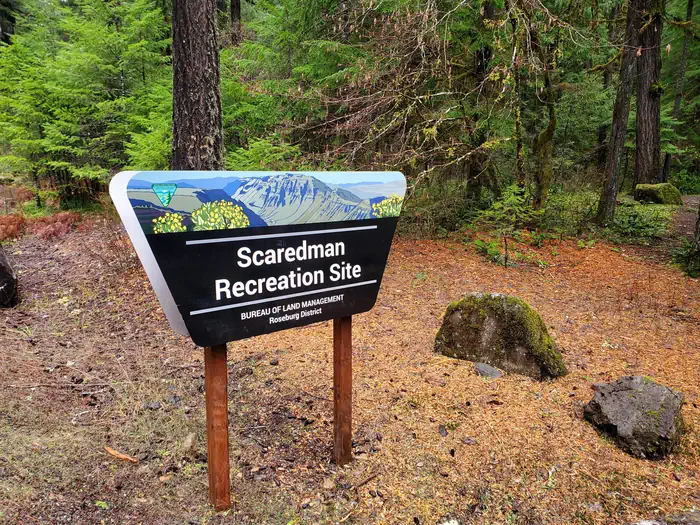
Scaredman Day-Use parking — BLMScaredman Portal Sign — BLMView of campsite and vegetation at Scaredman Recreation Site. — Bureau of Land ManagementDay-Use picnic table — BLMRecreation Site Layout — BLM
How to Get There
From Roseburg, travel east on Highway 138 for 40 miles. Turn left/north onto Steamboat Creek Road and then after a half mile, turn left/north onto Canton Creek Road. Scaredman is three miles from the Steamboat Creek/Canton Creek junction. Elevation: 1390’
Download your route in advance via Gaia, Caltopo, or OSM-based apps.
Recommendations adapt to the current forecast + trail stats. Use them as a starting point — local conditions, your experience, and the time of day you start all matter.
Plan Your Visit to Scaredman Recreation Site
Heading to Scaredman Recreation Site? A few things to know before you go:
Reservations: popular sites fill up fast — check Recreation.gov 6 months in advance
Fees: day-use and camping fees vary; check current rates on the official park page
Trash & pack-out: follow Leave No Trace principles
Wildlife: store food in bear boxes where provided; never feed wildlife
Weather: the 5-day forecast above is updated every 6 hours; verify just before you go
Frequently Asked Questions
Do I need a reservation for Scaredman Recreation Site?
No central reservation system listed for Scaredman Recreation Site. Check the official page (https://www.recreation.gov/camping/campgrounds/10119398) for the latest entry policy and availability.
How do I get to Scaredman Recreation Site?
From Roseburg, travel east on Highway 138 for 40 miles. Turn left/north onto Steamboat Creek Road and then after a half mile, turn left/north onto Canton Creek Road. Scaredman is three miles from the Steamboat Creek/Canton Creek junction. Elevation: 1390’
How do I contact Scaredman Recreation Site?
You can reach the park at phone: 541-440-4930 or email: [email protected].