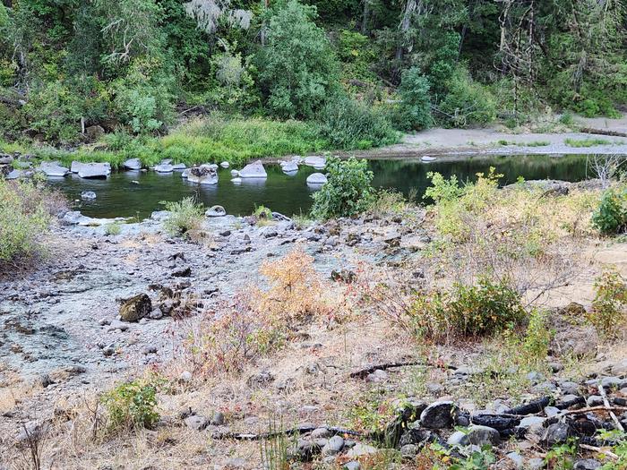
Overview Named after a historic Civilian Conservation Corps Camp that was built in the late 1930s, Three C Rock Campground is situated on the South Umpqua River. This campground, with five campsites, is a great spot for families to relax under a canopy of mixed conifers. If you enjoy fishing, then you are in luck as th…
Overview Named after a historic Civilian Conservation Corps Camp that was built in the late 1930s, Three C Rock Campground is situated on the South Umpqua River. This campground, with five campsites, is a great spot for families to relax under a canopy of mixed conifers. If you enjoy fishing, then you are in luck as this is the only spot along the South Umpqua River where fishing is permitted. Be prepared for poison oak in the surrounding vegetation.Recreation HikingSwimmingFishingFacilities Five tent/trailer sitesTwo vault toiletsEach site has a picnic table and fire ringNext to Three C Rock Picnic Area and Boat Launch/Swimming areaOpen year-round; first come, first serveMaximum trailer length: 35 feetNatural Features Visitors to the Umpqua National Forest are often taken aback by the unique landscapes of southwestern Oregon. High Cascades glaciation, whitewater rapids, and explosive geologic events have shaped the distinctive landscape on the 983,239 acres of forest that provides spectacular scenery as well as an abundance of natural and cultural resources.Verdant stands of hemlock, fir and cedar transition to forests of mixed conifers and hardwoods at lower elevations, while alpine ecosystems dominate high peaks.The translation of the word "Umpqua," meaning "thundering waters," defines the area. The Forest's waterways and diversity create desirable habitat for many species of fish and wildlife, in addition to providing outstanding recreational opportunities to our local communities and visitors. Nearby Attractions Cathedral Falls TrailThree C Rock Picnic AreaSouth Umpqua Falls Picnic Area Contact Info For facility specific information, please call (541) 440-4930.Charges & Cancellations This is a Scan and Pay campground. There are no refunds, modifications, cancellations, or other fee changes allowed with Scan and Pay payments. This system is the same as putting cash into a fee tube and cannot be refunded.
Photos
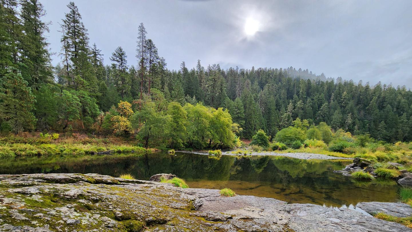
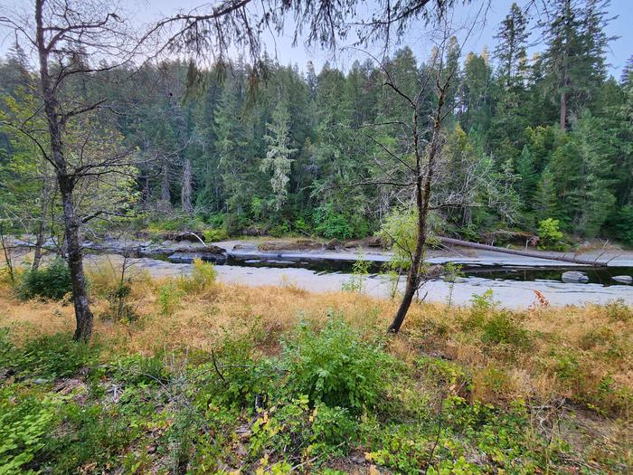
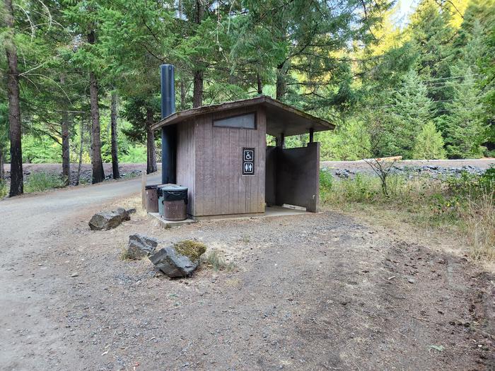
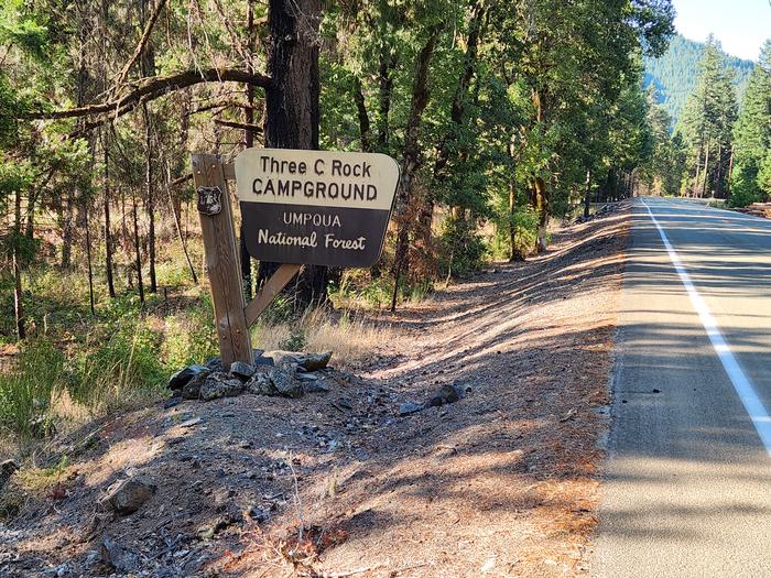
South Umpqua River from Three C Rock Site 5 — USFS UmpquaThree C Rock Campground Toilet — USFS UmpquaThree C Rock Campground sign — USFS UmpquaSouth Umpqua River from Three C Rock Site 3 — USFS Umpqua
How to Get There
From Canyonville, OR, turn off of southeast Main Street onto southeast 3rd Street / OR-227. Continue on OR-227 for approximately 23 miles until reaching the town of Tiller, OR. Turn left onto County Road 46 (National Forest RD 28/South Umpqua RD) and continue for 4 miles. The campground is located on the right side of the road.
Download your route in advance via Gaia, Caltopo, or OSM-based apps.
Recommendations adapt to the current forecast + trail stats. Use them as a starting point — local conditions, your experience, and the time of day you start all matter.
Plan Your Visit to Three C Rock Campground
Heading to Three C Rock Campground? A few things to know before you go:
Reservations: popular sites fill up fast — check Recreation.gov 6 months in advance
Fees: day-use and camping fees vary; check current rates on the official park page
Trash & pack-out: follow Leave No Trace principles
Wildlife: store food in bear boxes where provided; never feed wildlife
Weather: the 5-day forecast above is updated every 6 hours; verify just before you go
Frequently Asked Questions
Do I need a reservation for Three C Rock Campground?
No central reservation system listed for Three C Rock Campground. Check the official page (https://www.recreation.gov/camping/campgrounds/10377594) for the latest entry policy and availability.
How many campsites are at Three C Rock Campground?
Three C Rock Campground has 6 campsites. Site amenities (hookups, vehicle limits, ADA access) vary — see the individual campsite pages for details.
How do I get to Three C Rock Campground?
From Canyonville, OR, turn off of southeast Main Street onto southeast 3rd Street / OR-227. Continue on OR-227 for approximately 23 miles until reaching the town of Tiller, OR. Turn left onto County Road 46 (National Forest RD 28/South Umpqua RD) and continue for 4 miles. The campground is located on the right side of the road.