Government Camp, Oregon · Clackamas County · Campground
Overview The North Arm Campground sits on the shores of Timothy Lake, in the shadow of Oregon's Mt. Hood. The surrounding forest setting offers spectacular views, wetlands, trails for exploration, and abundant fishing. This campground is smaller and more secluded than the others on the south side of the lake. DRIVING N…
Overview The North Arm Campground sits on the shores of Timothy Lake, in the shadow of Oregon's Mt. Hood. The surrounding forest setting offers spectacular views, wetlands, trails for exploration, and abundant fishing. This campground is smaller and more secluded than the others on the south side of the lake. DRIVING NOTE: There are two routes to North Arm Campground—one is rugged and one is suitable for RVs and trailers. Recommended Route: From Sandy, Oregon, travel east on Highway 26 for approximately 40 miles to Skyline Road / FS Road 42. Turn right on Skyline Road, and continue south for about 9 miles. Turn right on FS Road 57, and travel west for approximately 3 ½ miles, crossing the dam at Timothy Lake. Take the 2nd right onto FS Road 5810. North Arm is approximately 5 ½ miles from here. Keep right at all intersections—the road becomes FS Road 5890. The campground is on the right. Recreation Proximity to Timothy Lake allows campers to enjoy a variety of water-related recreation, including boating and sailing, as well as swimming, windsurfing and fishing. Anglers can expect a catch of kokanee salmon and a variety of trout, as well as crayfish. This area has wonderful canoeing and kayaking opportunities. A variety of trails are located in the area. The Timothy Lake Trail is popular for hiking, mountain biking and horseback riding. The 12 miles of relatively level terrain loops trekkers around the lake, providing scenic views of the area. It connects to the Pacific Crest National Scenic Trail, a lengthy hike that extends across three states, from the borders of Canada and Mexico. Portions of that trail also lead southwest to Clackamas Lake Campground and a historic site. The Little Crater Lake is only a short hike away. Little Crater Lake is a geologic oddity, possibly formed by artesian water forcing its way through soft, volcanic rock. The beautiful, turquoise water is a wonder to see. The surrounding meadow is a great place for observing birds and other wildli
Photos
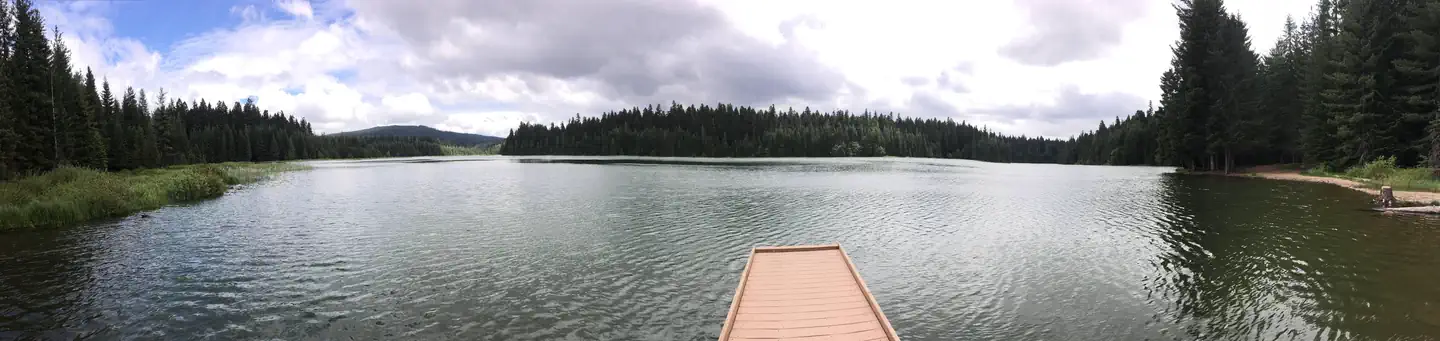
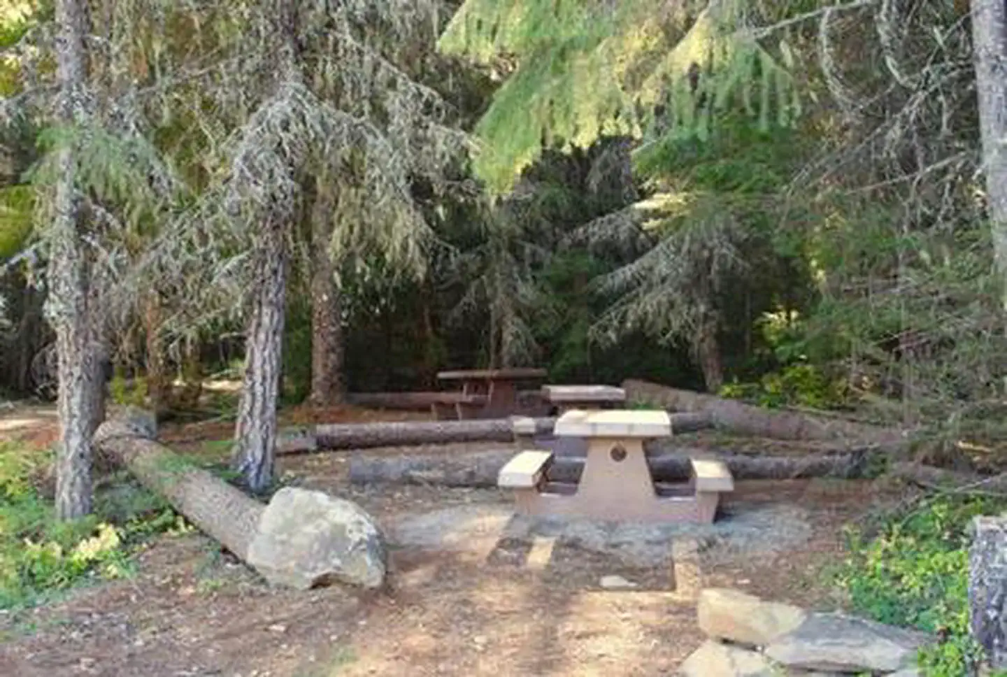
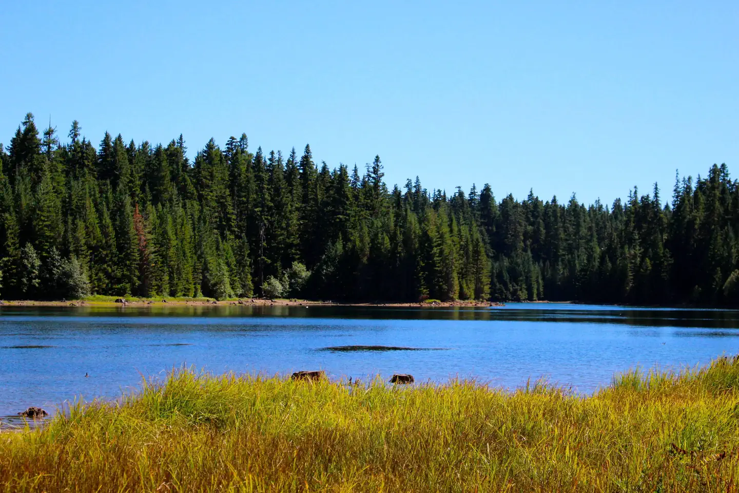
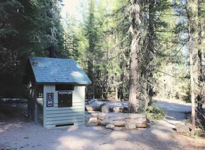
Picnic tables in the communal eating area for hike-to sites — PGE ParksNORTH ARM (TIMOTHY LAKE) CAMPGROUND — PGE ParksRestroom at North Arm — PGE ParksNorth arm of Timothy Lake — PGE ParksCamas — PGE Parks
How to Get There
Recommended Route: From Government Camp, travel east on Highway 26 for approximately 11 miles to Skyline Road / FS Road 42. Turn right on Skyline Road, and continue south for just over 8 miles. Turn right on FS Road 57, and travel west for approximately 3 ½ miles, crossing the dam at Timothy Lake. Take the 2nd right onto FS Road 5810. North Arm is approximately 5 miles from here. Keep right at all intersections—the road becomes FS Road 5890. The campground is on the right.
Download your route in advance via Gaia, Caltopo, or OSM-based apps.
Recommendations adapt to the current forecast + trail stats. Use them as a starting point — local conditions, your experience, and the time of day you start all matter.
Plan Your Visit to North Arm Campground (Timothy Lake, OR)
Heading to North Arm Campground (Timothy Lake, OR)? A few things to know before you go:
Reservations: popular sites fill up fast — check Recreation.gov 6 months in advance
Fees: day-use and camping fees vary; check current rates on the official park page
Trash & pack-out: follow Leave No Trace principles
Wildlife: store food in bear boxes where provided; never feed wildlife
Weather: the 5-day forecast above is updated every 6 hours; verify just before you go
Frequently Asked Questions
Do I need a reservation for North Arm Campground (Timothy Lake, OR)?
No central reservation system listed for North Arm Campground (Timothy Lake, OR). Check the official page (https://www.recreation.gov/camping/campgrounds/251452) for the latest entry policy and availability.
How many campsites are at North Arm Campground (Timothy Lake, OR)?
North Arm Campground (Timothy Lake, OR) has 20 campsites. Site amenities (hookups, vehicle limits, ADA access) vary — see the individual campsite pages for details.
How do I get to North Arm Campground (Timothy Lake, OR)?
Recommended Route: From Government Camp, travel east on Highway 26 for approximately 11 miles to Skyline Road / FS Road 42. Turn right on Skyline Road, and continue south for just over 8 miles. Turn right on FS Road 57, and travel west for approximately 3 ½ miles, crossing the dam at Timothy Lake. Take the 2nd right onto FS Road 5810. North Arm is approximately 5 miles from here. Keep right at all…
How do I contact North Arm Campground (Timothy Lake, OR)?