Overview Reserve a site at Alsea Falls on recreation.gov or pay when you arrive for non-reserved campsites using the Recreation.gov Mobile App. You must download before you reach the site since there is no cell reception in the drainage. Alsea Falls Recreation Site is located along a Bureau of Land Management National …
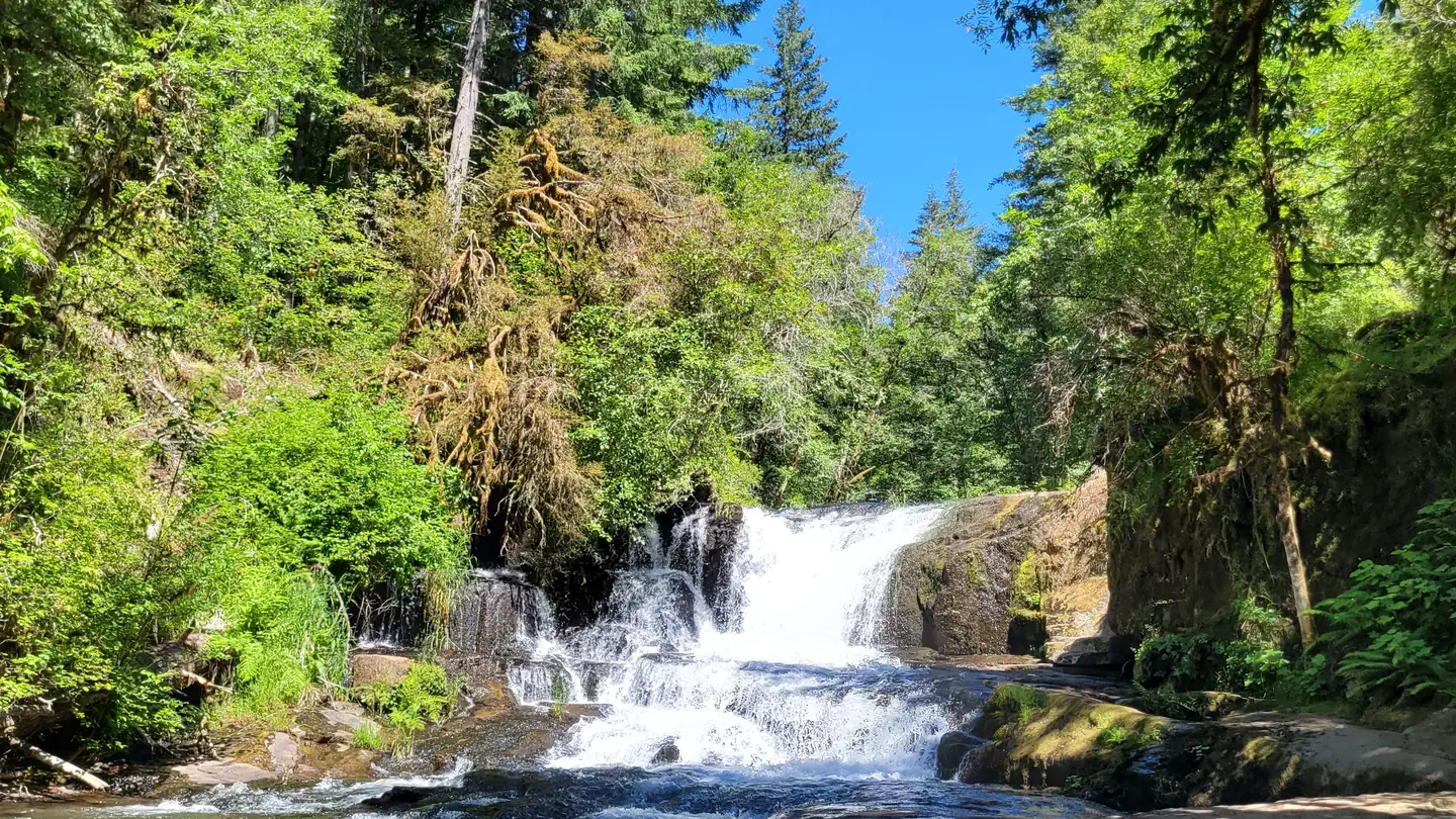
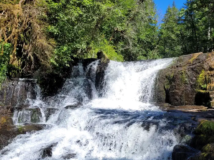
Overview Reserve a site at Alsea Falls on recreation.gov or pay when you arrive for non-reserved campsites using the Recreation.gov Mobile App. You must download before you reach the site since there is no cell reception in the drainage. Alsea Falls Recreation Site is located along a Bureau of Land Management National Back Country Byway, located in the Oregon Coast Range, 13 miles west of Monroe, Oregon, in Benton County. Alsea Falls is open for camping the first weekend in May through the end of September of each year. Day use is open year round. The South Fork of the Alsea River flows through the Alsea Falls Recreation Site, cascading down 30 feet to form Alsea Falls in the day use area. Recreation The beautiful surroundings of Alsea Falls can be enjoyed by exploring the trails that wander through the area and lead to the picnic grounds and beyond. On a warm day, Alsea Falls Recreation Site offers cool relief along the river. During the winter months, the South Fork of the Alsea River provides excellent salmon and steelhead fishing. Be sure to check with the Oregon Department of Fish and Wildlife for current fishing regulations. Facilities This recreation area has 16 individual campsites; all are reservable. No first come-first served availability, however, you can come by on a nightly basis to camp if the site is not reserved until the reservation holder arrives. Amenities within the campground include drinking water and vault toilets. Several campsites can accommodate large RVs or trailers: up to 32 feet long. A site map is available here. Natural Features Forests in all stages of growth line South Fork Alsea National Back Country Byway. The nearby South Fork Alsea River offers painters and photographers endless opportunities to capture the natural beauty of Alsea Falls and the surrounding area. Old growth Douglas fir and western red cedar forests can be seen on the nearby ridges, while younger Douglas fir and vine maples provide a pleasant atmosphere at the Als
Photos
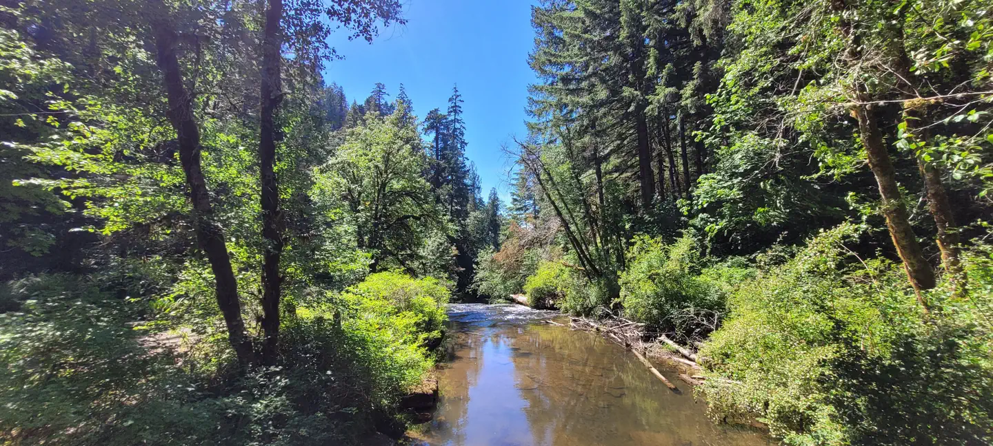
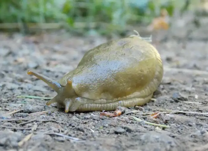
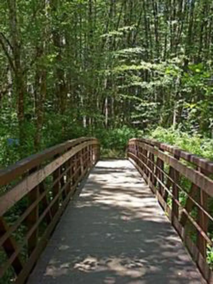
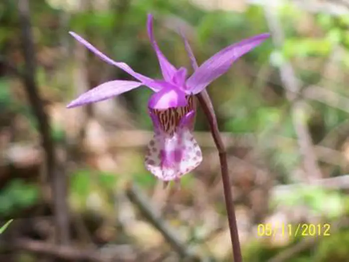
View of Alsea Falls from the bridge in the day use site. The river is central in the photo with calm water, reflecting the blue sky. The scene is surrounded by green trees and shrubs. — BLMAlsea Falls centered in the photo at close range. The water white and rushing over rocks and the falls are surrounded by green trees and shrubs with a patch of blue sky above. — Traci Meredith-BLMClose up of a banana slug, facing the lower left of the photo on a dirt ground with a green background. — Traci Meredith-BLMAlsea Falls Bridge is centered in the photo surrounded by green trees in the background. — BLMBeautiful pink and white Calypso orchid. — Traci Meredith-BLM
How to Get There
From Corvallis: Take Hwy 99W south about 15 miles. Turn right on Alpine Road, follow for approximately 9 miles. Alpine Road turns into South Fork Road. Follow about 4 miles to the Alsea Falls Campground on the right. From Alsea: Travel south from the town Alsea on Alsea-Deadwood Hwy for about 1 mile. Turn left on the South Fork Road and follow for approximately 8.5 miles (stay on main paved road). Pass the Alsea Falls Day-Use about 0.5 miles and turn left into the Alsea Falls Campground Entrance.
Download your route in advance via Gaia, Caltopo, or OSM-based apps.
Recommendations adapt to the current forecast + trail stats. Use them as a starting point — local conditions, your experience, and the time of day you start all matter.
Plan Your Visit to Alsea Falls Recreation Site (Campground)
Heading to Alsea Falls Recreation Site (Campground)? A few things to know before you go:
Reservations: popular sites fill up fast — check Recreation.gov 6 months in advance
Fees: day-use and camping fees vary; check current rates on the official park page
Trash & pack-out: follow Leave No Trace principles
Wildlife: store food in bear boxes where provided; never feed wildlife
Weather: the 5-day forecast above is updated every 6 hours; verify just before you go
Frequently Asked Questions
Do I need a reservation for Alsea Falls Recreation Site (Campground)?
No central reservation system listed for Alsea Falls Recreation Site (Campground). Check the official page (https://www.recreation.gov/camping/campgrounds/255205) for the latest entry policy and availability.
How many campsites are at Alsea Falls Recreation Site (Campground)?
Alsea Falls Recreation Site (Campground) has 38 campsites. Site amenities (hookups, vehicle limits, ADA access) vary — see the individual campsite pages for details.
How do I get to Alsea Falls Recreation Site (Campground)?
From Corvallis: Take Hwy 99W south about 15 miles. Turn right on Alpine Road, follow for approximately 9 miles. Alpine Road turns into South Fork Road. Follow about 4 miles to the Alsea Falls Campground on the right. From Alsea: Travel south from the town Alsea on Alsea-Deadwood Hwy for about 1 mile. Turn left on the South Fork Road and follow for approximately 8.5 miles (stay on main paved road).…
How do I contact Alsea Falls Recreation Site (Campground)?
You can reach the park at phone: 503-375-5646 or email: [email protected].