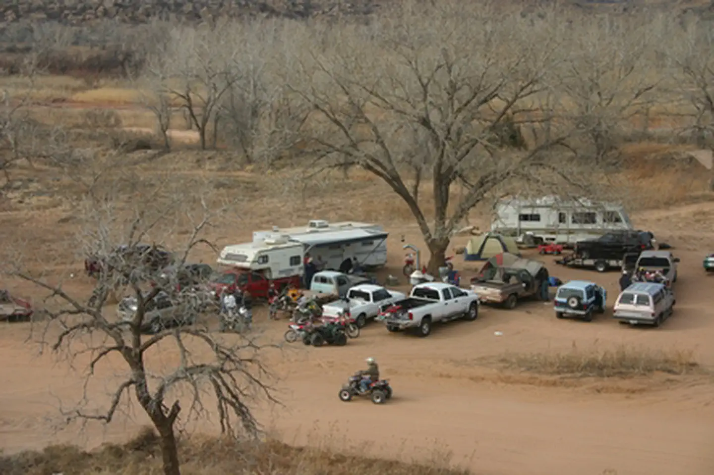
About Rosita Flats
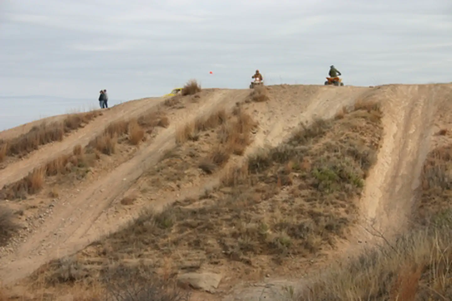
This campground consists of dispersed camping along the Canadian River in one of the park's ORV-use areas. ORV operators must have state of Texas Off-Highway Vehicle decal and wear DOT-approved safety gear.
White Deer, Oklahoma · Carson County · Facility
This campground consists of dispersed camping along the Canadian River in one of the park's ORV-use areas. ORV operators must have state of Texas Off-Highway Vehicle decal and wear DOT-approved safety gear.
This campground consists of dispersed camping along the Canadian River in one of the park's ORV-use areas. ORV operators must have state of Texas Off-Highway Vehicle decal and wear DOT-approved safety gear.
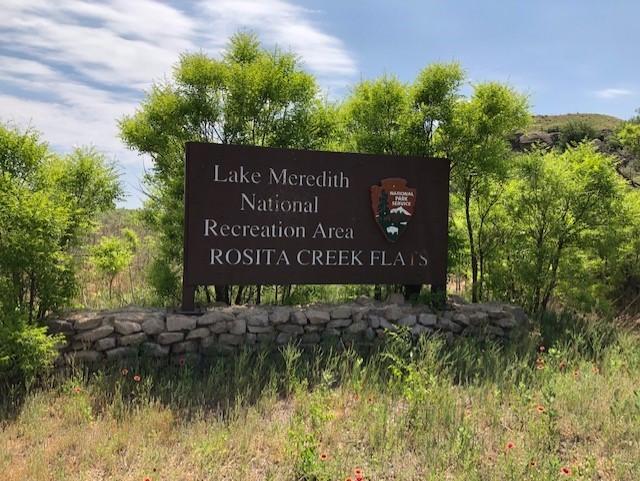
(From Amarillo): Head north on US‑287. • Turn right (east) onto FM 1060 at Masterson. • Continue to TX‑136, turn right (south). • Watch for Rosita Flats signs, turn left to the access road. From Fritch, Texas: Head south out of Fritch on TX‑136. • Continue for several miles. • Look for Rosita Flats signage on the left side of the highway. • Turn left onto the gravel access road and follow it into the campground/OHV area. GPS Coordinates 35.5669° N, 101.4975° W
Driving directions (Google Maps) →Heading to Rosita Flats? A few things to know before you go:
 Photo: Tobias Mrzyk
Oklahoma's longest mapped hiking trails, ranked by distance with notes on what makes each route worth the commitment.
 Photo: David Marcu
Steep is hard. These are the ten Oklahoma trails with the most total elevation gain — quad-burners earned by hard climbing.
 Photo: Sergei Akulich
Ten gentle, well-marked Oklahoma trails perfect for first-time hikers, families, or recovery days.
 Photo: Holly Mandarich
Oklahoma's ten hardest hikes — expert difficulty, big mileage, or serious exposure. Reserved for experienced hikers.
 Photo: Diego Lozano
Federal parks and recreation areas in Oklahoma ranked by what they actually offer hikers and campers, not just popularity.
 Photo: Joshua Earle
Oklahoma's best hikes to named waterfalls — from short family-friendly viewpoints to all-day cascade chasing.