Overview Worn by time and nature, the Wichita Mountains loom large above the prairie in southwest Oklahoma—a lasting refuge for wildlife. Situated just outside the Lawton/Ft. Sill area, Wichita Mountains Wildlife Refuge preserves approximately 60,000 acres of mixed grass prairie, ancient granite mountains, and fresh wa…
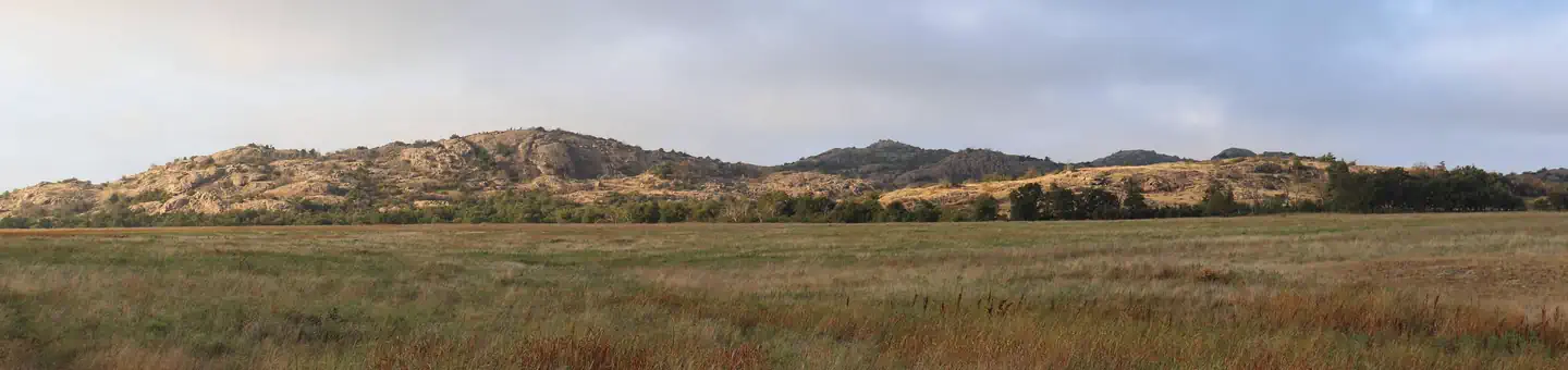
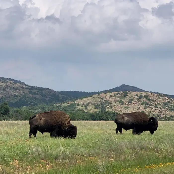
Overview Worn by time and nature, the Wichita Mountains loom large above the prairie in southwest Oklahoma—a lasting refuge for wildlife. Situated just outside the Lawton/Ft. Sill area, Wichita Mountains Wildlife Refuge preserves approximately 60,000 acres of mixed grass prairie, ancient granite mountains, and fresh water lakes and streams for the benefit of wildlife and the American people. Best known for its roaming herds of bison, longhorn, and Rocky Mountain elk, Wichita Mountains also offers quality opportunities for wildlife dependent recreation including fishing, bird watching, wildlife photography, hiking, camping, and kayaking. Recreation Doris Campground is a recreational hub for visitors to the Wichita Mountains. Situated along the shoreline of Quanah Parker Lake, it’s a stone’s throw away from quality fishing, canoeing, kayaking, and hiking. Campers can toss a line in the water or start up the Little Baldly trail for a picturesque hike. The Visitor Center, additional trails, and notable features like Mt. Scott are just a few miles down the road. Facilities Doris Campground contains 3 group camping sites, 23 single family electric sites, 47 single family non-electric sites, and 20 semi-primitive, walk-in tent sites. Most campsites are sizeable enough for RVs and trailer. Each campsite is equipped with a picnic table, fire ring, and grill. Roads are paved. Flush toilets and showers are provided within easy walking distance in a centrally located shower/restroom complex. The group campsites and Loops A and D have chemical or vault toilets only, and no water. Water is available via hydrants throughout the campground. A dump station is provided for RVs and trailers. Natural Features Explore ancient granite mountains. Find yourself in a cedar forest. Dare to discover wide open spaces and fresh water lakes meant to support wildlife like the American bison and Rocky Mountain elk. Fish. Hike. Photograph. Immerse yourself in the wild. Contact Info This location ha
Photos
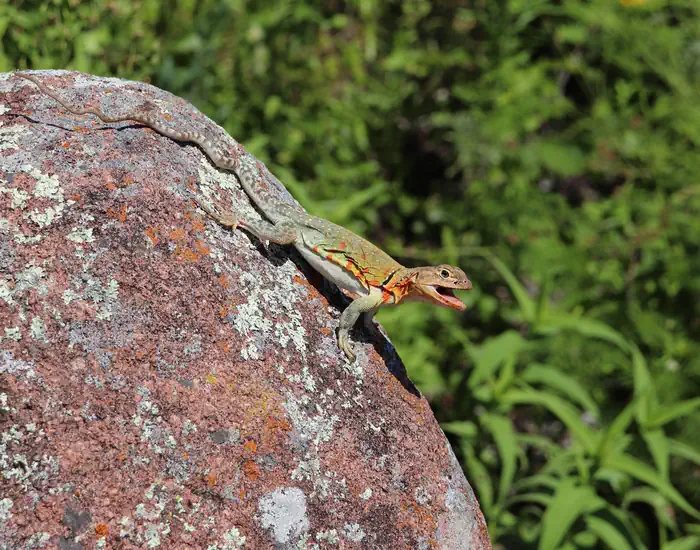
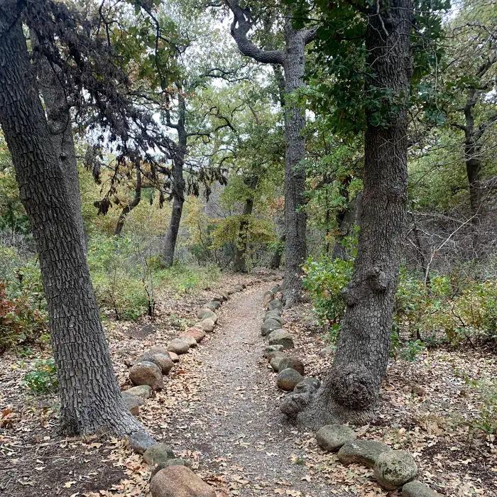
American bison graze the prairie. — USFWS/Wichita Mountains Wildlife RefugeA colorful lizard sits atop a boulder. — USFWS/Wichita Mountains Wildlife RefugeThe Wichita Mountains line the horizon beyond the pink granite shore of Quanah Parker Lake. — USFWS/Wichita Mountains Wildlife RefugeStones lines the edges of a trail through the woods inviting exploration. — USFWS/Wichita Mountains Wildlife Refuge
How to Get There
From I-44 take Highway 49 (exit 45). Go west 7 miles to the Refuge gate or 14 miles to the Visitor Center. If coming from Highway 62, take Highway 115 (Cache exit) north to the Refuge Gate.
Download your route in advance via Gaia, Caltopo, or OSM-based apps.
Recommendations adapt to the current forecast + trail stats. Use them as a starting point — local conditions, your experience, and the time of day you start all matter.
Plan Your Visit to Doris Campground
Heading to Doris Campground? A few things to know before you go:
Reservations: popular sites fill up fast — check Recreation.gov 6 months in advance
Fees: day-use and camping fees vary; check current rates on the official park page
Trash & pack-out: follow Leave No Trace principles
Wildlife: store food in bear boxes where provided; never feed wildlife
Weather: the 5-day forecast above is updated every 6 hours; verify just before you go
Frequently Asked Questions
Do I need a reservation for Doris Campground?
No central reservation system listed for Doris Campground. Check the official page (https://www.recreation.gov/camping/campgrounds/10038733) for the latest entry policy and availability.
How many campsites are at Doris Campground?
Doris Campground has 93 campsites. Site amenities (hookups, vehicle limits, ADA access) vary — see the individual campsite pages for details.
How do I get to Doris Campground?
From I-44 take Highway 49 (exit 45). Go west 7 miles to the Refuge gate or 14 miles to the Visitor Center. If coming from Highway 62, take Highway 115 (Cache exit) north to the Refuge Gate.