FacilityCampgroundRecreation.gov

Doughton Park Campground

Sparta, North Carolina · Alleghany County · Campground

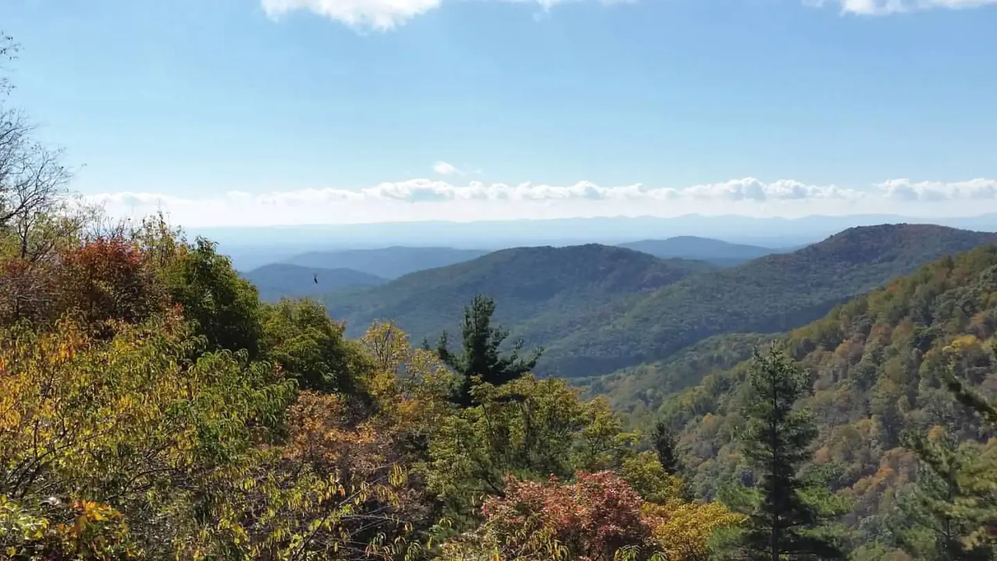
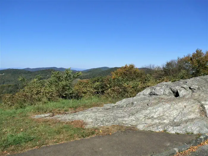
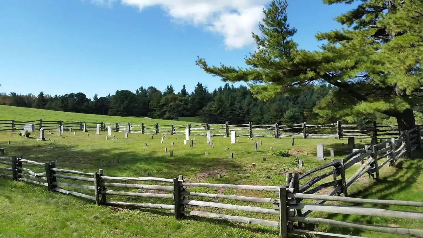
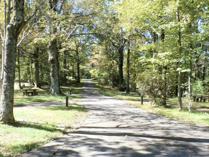
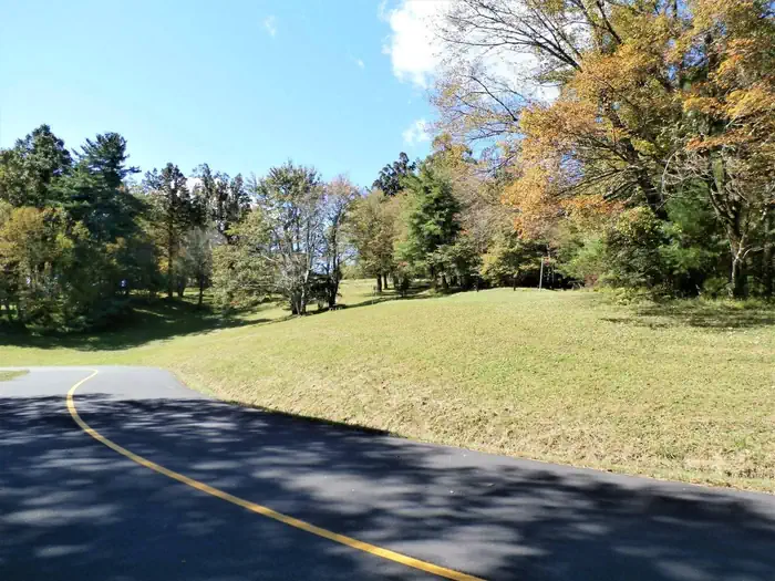
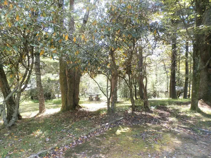
Overview Nestled in a landscape of mountains, open meadows and pioneer cabins, Doughton Park Campground is surrounded by 30 miles (48 km) of hiking trails offering opportunities to view wildlife as well as get a feel for the lives of those who lived here long ago. Originally known as The Bluffs, the area came by its pr…

Advertisement
36.42889, -81.15444
Open in OpenStreetMap

About Doughton Park Campground

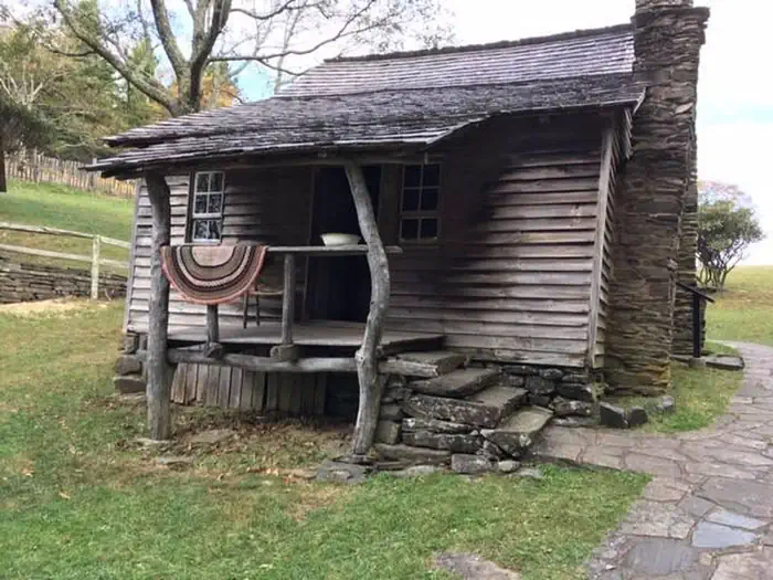
Overview Nestled in a landscape of mountains, open meadows and pioneer cabins, Doughton Park Campground is surrounded by 30 miles (48 km) of hiking trails offering opportunities to view wildlife as well as get a feel for the lives of those who lived here long ago. Originally known as The Bluffs, the area came by its present name in honor of Congressman Robert L. Doughton, a long-time advocate and supporter of the Parkway. Recreation Over 30 miles of trails are available varying from strenuous to easy. Bicycles and motorized vehicles are prohibited on trails. Mileage listed is only traveling one way. Double the trail mileage to include out and back trip. Trail elevations can change more than 2,000 feet as trails descend into the Basin Cove Creek area from the parkway. Maps available on the Blue Ridge Parkway.gov website. Bluff Mountain Trail (7.5 miles) offers many scenic vistas and traverses relatively flat terrain. The trail runs near the parkway and is accessible from many locations along its route from Brinegar Cabin to Basin Cove Overlook. Cedar Ridge Trail (4.4 miles) descends a forested ridgeline to Grassy Gap Fire Road. Trailhead is located at the Brinegar Cabin. Grassy Gap Fire Road (6.1 miles) is wide enough for hikers and horseback riders to travel side by side. The trail starts at Milepost 243.9 and ambles down the mountainside past the primitive campground to State Route 1730 (Longbottom Road). Horseback riders must enter and exit at Longbottom Road. Flat Rock Ridge Trail (5.0) miles begins on the mountain-top meadow of Basin Cove Overlook. And ends on the damp, cool banks of Basin Cove Creek. NC Thurmond Game Lands and bear sanctuary border the south side of the trail. Basin Cove Creek Trail (3.2 miles) is accessible only from the grassy Gap Fire Road at the Long Bottom Road (State Hwy 1730). A 1.7-mile hike is required to reach the beginning of the Basin Cove Creek. It winds past cascading waterfalls to the century-old Caudill Cabin, former home of the
How to Get There

Note: GPS devices and mapping programs do NOT provide accurate directions to Doughton Park Campground. GPS devices and mapping programs may take campers onto steep grades and gravel or dirt country roads not suitable for RV or trailer travel. From Charlotte: Take I-77 North. Merge onto US-21-BYP N via EXIT 83 on the left toward Roaring Gap/Sparta. Go 2.9 miles. Merge onto US-21. Go 18.1 miles. Turn left to take the Parkway South ramp. Turn south onto Blue Ridge Parkway. Go 10 miles to Doughton Park Campground. From Raleigh: Take I-40 West. Merge onto US-421 North via EXIT 188 toward Yadkinville/Wilkesboro. Go 28.3 miles. Merge onto I-77 N via EXIT 265A toward Elkin. Go 10.1 miles. Merge onto US-21-BYP N via EXIT 83 on the left toward Roaring Gap/Sparta. Go 2.9 miles. Merge onto US-21. Go 18.1 miles. Turn left to take the Parkway South ramp. Turn south onto Blue Ridge Parkway. Go 10 miles to Doughton Park Campground.

Driving directions (Google Maps) →

What to Pack for Your Stay

Tuned to the live forecast for this park.

👔 What to Wear

  • 👕
    Long-sleeve shirt
    Synthetic or merino, sun-protective.
  • 🧥
    Light shell or windbreaker
    Even on warm days, wind can chill (avg wind 0 mph).
  • 👖
    Hiking pants or convertible
    Layer for variable conditions.
  • 🥾
    Trail runners or low boots
    Comfortable, broken in.

🎒 What to Pack

  • 💧
    Water
    Bring at least 1L of water; more in heat.
  • 🍫
    High-energy snacks
    A snack for the trail.
  • 🧴
    Sun protection
    Sunscreen, sunglasses, brimmed hat.
  • 🩹
    First-aid kit
    Blister patches, ibuprofen, tape, antiseptic wipes.
  • 🗺
    Offline map
    Download your route in advance via Gaia, Caltopo, or OSM-based apps.

Recommendations adapt to the current forecast + trail stats. Use them as a starting point — local conditions, your experience, and the time of day you start all matter.

Plan Your Visit to Doughton Park Campground

Heading to Doughton Park Campground? A few things to know before you go:

  • Reservations: popular sites fill up fast — check Recreation.gov 6 months in advance
  • Fees: day-use and camping fees vary; check current rates on the official park page
  • Trash & pack-out: follow Leave No Trace principles
  • Wildlife: store food in bear boxes where provided; never feed wildlife
  • Weather: the 5-day forecast above is updated every 6 hours; verify just before you go

Frequently Asked Questions

Do I need a reservation for Doughton Park Campground?

No central reservation system listed for Doughton Park Campground. Check the official page (https://www.recreation.gov/camping/campgrounds/233369) for the latest entry policy and availability.

How do I get to Doughton Park Campground?

Note: GPS devices and mapping programs do NOT provide accurate directions to Doughton Park Campground. GPS devices and mapping programs may take campers onto steep grades and gravel or dirt country roads not suitable for RV or trailer travel. From Charlotte: Take I-77 North. Merge onto US-21-BYP N via EXIT 83 on the left toward Roaring Gap/Sparta. Go 2.9 miles. Merge onto US-21. Go 18.1 miles. Tur…

How do I contact Doughton Park Campground?

You can reach the park at phone: 336-372-8877 (MAY - OCTOBER) or email: Dave_Bauer@nps.gov.