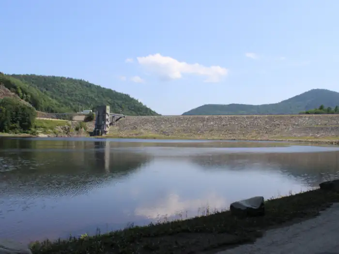
Overview Townshend Lake is a flood control project operated by the U.S. Army Corps of Engineers, serving communities within the West River Valley, and those downstream. In addition to protection from floods, the lake provides many recreational opportunities, including picnicking, hiking, and fishing. Recreation Townshe…
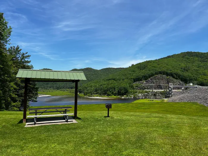
Overview Townshend Lake is a flood control project operated by the U.S. Army Corps of Engineers, serving communities within the West River Valley, and those downstream. In addition to protection from floods, the lake provides many recreational opportunities, including picnicking, hiking, and fishing. Recreation Townshend Lake offers ample recreation opportunities. A boat ramp provides access for canoeing, kayaking and small motor boats (10hp or less). The lake is stocked once a year with Rainbow Trout for the enjoyment of anglers. The three group shelters are surrounded by many individual picnic tables with charcoal grills for smaller groups to enjoy. The Ledges Overlook Trail offers stunning views of the Green Mountains along the 1.7 mile loop, with Townshend Lake Nature Area a short drive north up Route 30 offering access to the West River Trail.Facilities Within the Townshend Lake Recreation Area, three large picnic shelters are available for reservation, each equipped with electrical hookups to better accommodate your events. Individual picnic sites can be found throughout the park, providing a resting place for those who wish to enjoy all that the park has to offer, including playgrounds, volleyball courts, horse shoe pits, scenic views, and hiking trails. Restrooms within the Day Use area provide flush toilets and potable water during the recreation season.Natural Features The recreation area sits in the West River Valley behind the Townshend Dam on the shores of Townshend Lake. The picnic area offers many large trees for shade along with other sun-basked open areas. Contact Info This location has limited staffing. Please call (978) 318-8915 for general information. Nearby Attractions The Townshend Lake Nature Area is located 2 miles north of Townshend Dam on Vermont Route 30, near West Townshend, VT.The Historic Scott Covered Bridge is located 1/2 mile south of Townshend Dam, on Vermont Route 30.
Photos
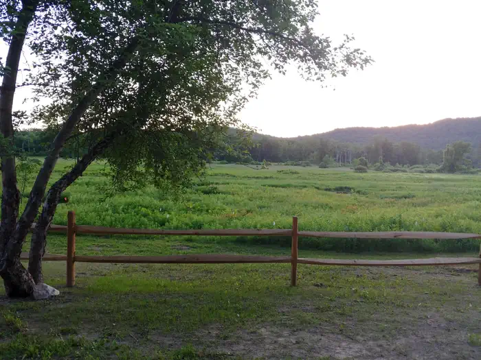
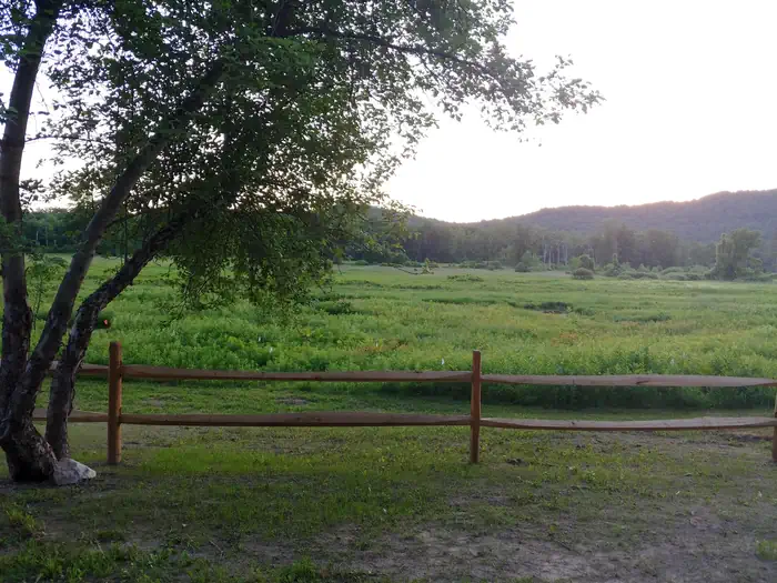
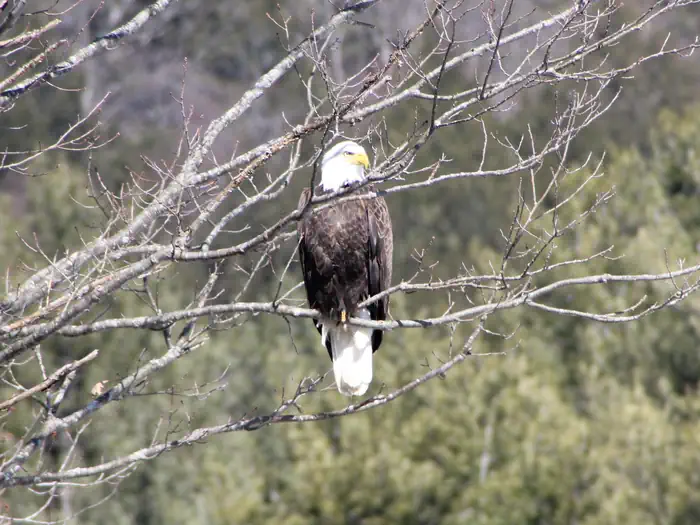
Townshend Lake Recreation Area — USACETownshend Lake Nature Area — USACENature Area — USACEBald Eagle — USACETownshend Dam outflow — USACEPicnic area in the pine trees — USACEBridge between shelter areas — USACETownshend Lake Dam — USACE
How to Get There
Townshend Lake is located 19 miles north of Brattleboro, Vermont, on Vermont Route 30.
Download your route in advance via Gaia, Caltopo, or OSM-based apps.
Recommendations adapt to the current forecast + trail stats. Use them as a starting point — local conditions, your experience, and the time of day you start all matter.
Plan Your Visit to Townshend Lake Recreation Area
Heading to Townshend Lake Recreation Area? A few things to know before you go:
Reservations: popular sites fill up fast — check Recreation.gov 6 months in advance
Fees: day-use and camping fees vary; check current rates on the official park page
Trash & pack-out: follow Leave No Trace principles
Wildlife: store food in bear boxes where provided; never feed wildlife
Weather: the 5-day forecast above is updated every 6 hours; verify just before you go
Frequently Asked Questions
Do I need a reservation for Townshend Lake Recreation Area?
No central reservation system listed for Townshend Lake Recreation Area. Check the official page (https://www.recreation.gov/camping/campgrounds/250011) for the latest entry policy and availability.
How many campsites are at Townshend Lake Recreation Area?
Townshend Lake Recreation Area has 3 campsites. Site amenities (hookups, vehicle limits, ADA access) vary — see the individual campsite pages for details.
How do I get to Townshend Lake Recreation Area?
Townshend Lake is located 19 miles north of Brattleboro, Vermont, on Vermont Route 30.