Overview Santa Barbara Campground is situated nicely on the edge of the Pecos Wilderness area and next to Rio Santa Barbara, a beautiful and healthy trout stream.Recreation This is a great drop off point for hikers and horseback riders seeking close access to the Pecos Wilderness and Jicarita Peak.Facilities The campgr…
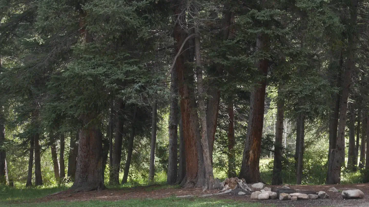
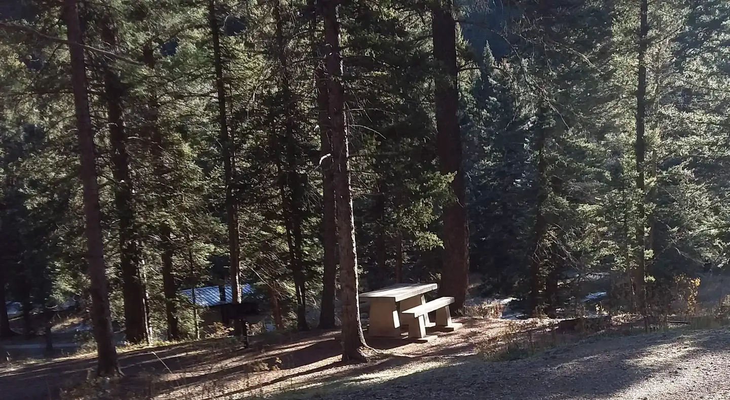
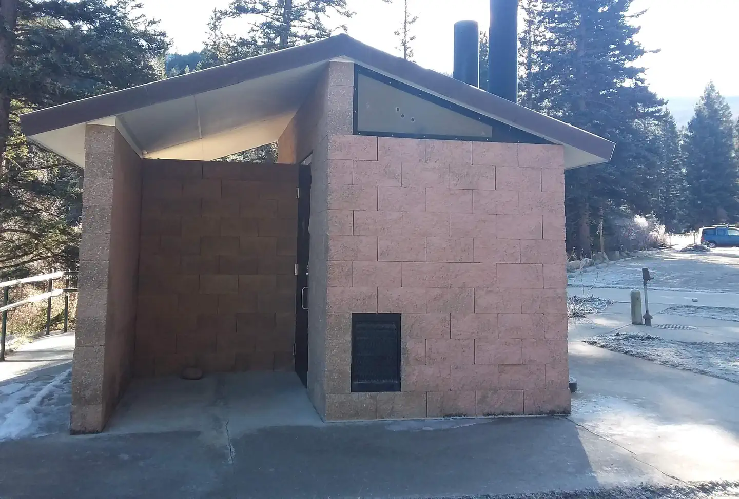
Overview Santa Barbara Campground is situated nicely on the edge of the Pecos Wilderness area and next to Rio Santa Barbara, a beautiful and healthy trout stream.Recreation This is a great drop off point for hikers and horseback riders seeking close access to the Pecos Wilderness and Jicarita Peak.Facilities The campground has 15 single sites, each containing a table and fire ring; two double sites, each containing two tables and a fire ring; one triple site containing three tables and a fire ring; and two quad sites containing four tables and a fire ring. Vault toilets, drinking water from faucets and trash removal are provided. There are no horse facilites within the campground. First-come, first-served sites are available. Natural Features Santa Barbara is located in a mixed forest of spruce, fir and aspen trees, which provide some shade throughout the day. At an altitude of 8,900 feet, temperatures can cool off during the summer nights. Nearby Attractions Trail access to Jicarita Peak, with close access to North Truchas Peak, Sipapu Ski Resort, the town of Vadito, and the town of Penasco are all nearby. All are within 8-15 miles from the campground. Most services are available in Taos, NM, 25 miles north of the campground or Espanola, NM, 45 miles southwest. Contact Info For facility specific information, please call (928) 537-8888.
Photos
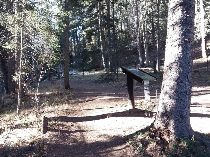
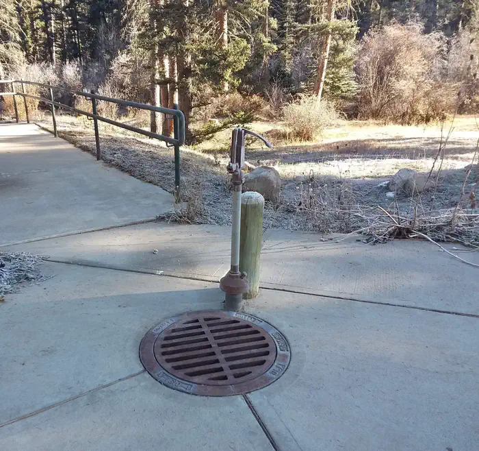
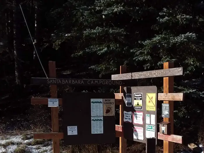
Site trail for Santa Barbara campground — Conservation LegacySanta Barbara water spout. — Conservation LegacyCampsite forest view of dense trees. — Conservation LegacySanta Barbara Campground — Carson National ForestCampground lavatory. — Conservation LegacySanta Barbara info board with posters — Conservation Legacy
How to Get There
From the junction with State Road 75, follow SR 73 1.4 miles to the Santa Barbara Road. Turn left onto the Santa Barbara Road. Then travel 6.2 miles to the campground. Santa Barbara Road becomes Forest System Road 116 when the pavement ends.
Download your route in advance via Gaia, Caltopo, or OSM-based apps.
Recommendations adapt to the current forecast + trail stats. Use them as a starting point — local conditions, your experience, and the time of day you start all matter.
Plan Your Visit to SANTA BARBARA CAMPGROUND
Heading to SANTA BARBARA CAMPGROUND? A few things to know before you go:
Reservations: popular sites fill up fast — check Recreation.gov 6 months in advance
Fees: day-use and camping fees vary; check current rates on the official park page
Trash & pack-out: follow Leave No Trace principles
Wildlife: store food in bear boxes where provided; never feed wildlife
Weather: the 5-day forecast above is updated every 6 hours; verify just before you go
Frequently Asked Questions
Do I need a reservation for SANTA BARBARA CAMPGROUND?
No central reservation system listed for SANTA BARBARA CAMPGROUND. Check the official page (https://www.recreation.gov/camping/campgrounds/273360) for the latest entry policy and availability.
How many campsites are at SANTA BARBARA CAMPGROUND?
SANTA BARBARA CAMPGROUND has 21 campsites. Site amenities (hookups, vehicle limits, ADA access) vary — see the individual campsite pages for details.
How do I get to SANTA BARBARA CAMPGROUND?
From the junction with State Road 75, follow SR 73 1.4 miles to the Santa Barbara Road. Turn left onto the Santa Barbara Road. Then travel 6.2 miles to the campground. Santa Barbara Road becomes Forest System Road 116 when the pavement ends.
How do I contact SANTA BARBARA CAMPGROUND?
You can reach the park at phone: 435-245-6521 or email: [email protected].