Tijeras, New Mexico · Bernalillo County · Campground
Overview Pine Flat picnic sites A & B are accessible picnic areas. They are located on State Highway 337 (James McGrane Memorial Highway or Old South 14) approximately 7 miles from I-40. State Hwy 337 runs parallel to Pine Flat picnic area making it easy to identify and enter. From the entry way to your left you will f…
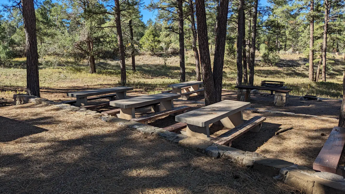
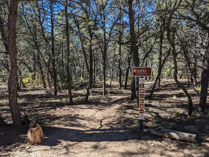
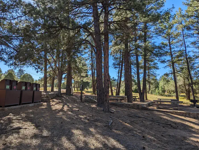
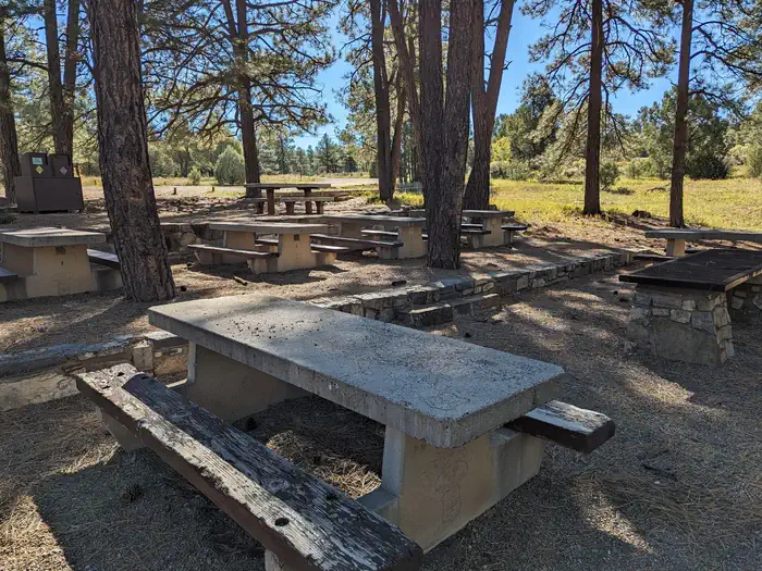
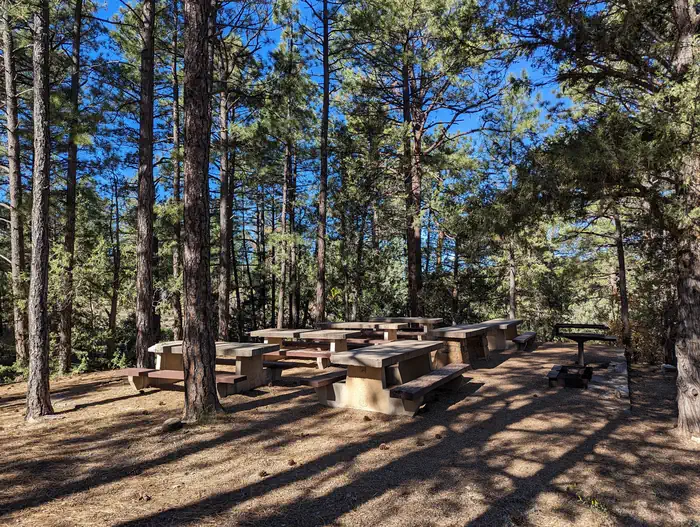
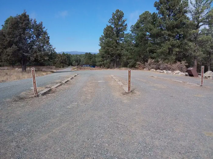
Overview Pine Flat picnic sites A & B are accessible picnic areas. They are located on State Highway 337 (James McGrane Memorial Highway or Old South 14) approximately 7 miles from I-40. State Hwy 337 runs parallel to Pine Flat picnic area making it easy to identify and enter. From the entry way to your left you will find two reserve only sites. The area is surrounded by pinon, juniper, scrub oak and ponderosa pine that lend shade to both reservation areas. Cool mountain breezes are common here. The sound of rustling foliage render Pine Flat picnic sites an excellent place to lean back, relax and maybe even take a nap. Each site can accommodate fifty people. Pine Flat Trailhead has pull through trailer parking in addition to regular vehicle parking, which is located to the right as you enter the gate. Follow the road south to the trailhead that leads into the Manzanita Mountains Trail system. You will also find dispersed picnic tables throughout the Pine Flat sites, which are available on a first-come, first-served basis. Pine Flat Sites A & B were built in 1956 by the Forest Service with the intent to provide picnic sites for large group use. Please take care of your public land by using Leave No Trace ethics. There is no overnight camping at this site. Recreation Pine Flat connector trail leads to a multiuse motorized trail system. The trail system has loops and straightaways to satisfy just about any recreationist. For more information on OHV use, consult the District Motor Vehicle Use Map. Facilities Please note: You must make two separate bookings for site A and B if you want to reserve both. Please verify the site you have reserved when checking out. As you enter the area, to the left you will find two reserve only sites, A and B. Both sites have grills, tables, vault toilets and bear proof trash containers. The trailering area for horse and motorcycle trailers is located to the right as you enter the gate. Follow the road south to the trailhead that leads int
From Albuquerque, drive east on I-40 to Tijeras Exit 175; at the traffic light drive straight ahead and continue south for 7 miles on State Road 337 (James McGrane Memorial Highway). Look for the Cibola National Forest - Pine Flat Picnic sign on the east side of the road. As you enter the picnic site, look to your left. There you will find both reserve only sites A and B.
Download your route in advance via Gaia, Caltopo, or OSM-based apps.
Recommendations adapt to the current forecast + trail stats. Use them as a starting point — local conditions, your experience, and the time of day you start all matter.
Plan Your Visit to PINE FLAT PICNIC SITES - A and B
Heading to PINE FLAT PICNIC SITES - A and B? A few things to know before you go:
Reservations: popular sites fill up fast — check Recreation.gov 6 months in advance
Fees: day-use and camping fees vary; check current rates on the official park page
Trash & pack-out: follow Leave No Trace principles
Wildlife: store food in bear boxes where provided; never feed wildlife
Weather: the 5-day forecast above is updated every 6 hours; verify just before you go
Frequently Asked Questions
Do I need a reservation for PINE FLAT PICNIC SITES - A and B?
No central reservation system listed for PINE FLAT PICNIC SITES - A and B. Check the official page (https://www.recreation.gov/camping/campgrounds/234491) for the latest entry policy and availability.
How do I get to PINE FLAT PICNIC SITES - A and B?
From Albuquerque, drive east on I-40 to Tijeras Exit 175; at the traffic light drive straight ahead and continue south for 7 miles on State Road 337 (James McGrane Memorial Highway). Look for the Cibola National Forest - Pine Flat Picnic sign on the east side of the road. As you enter the picnic site, look to your left. There you will find both reserve only sites A and B.
How do I contact PINE FLAT PICNIC SITES - A and B?