Ponderosa, New Mexico · Sandoval County · Campground
Overview Jemez Falls Picnic Area is great place to spend the day, especially when planning a day hike to nearby Jemez Falls on the Jemez District of the Santa Fe National Forest. The lands are known for immense cultural heritage of the Jemez people, as well as a therapeutic natural warm springs.Recreation A trailhead t…
Overview Jemez Falls Picnic Area is great place to spend the day, especially when planning a day hike to nearby Jemez Falls on the Jemez District of the Santa Fe National Forest. The lands are known for immense cultural heritage of the Jemez people, as well as a therapeutic natural warm springs.Recreation A trailhead to Jemez Falls is located within the day-use area. It leads to both Jemez Falls and McCauley Warm Springs. Visitors can also enjoy fishing the Jemez River, a small trout stream stocked with catchable trout. Facilities The accessible picnic area is equipped with a shelter, tables and large grills. Accessible vault toilets and trash collection are provided. The site can accommodate up to 50 people. A large parking area is on-site. Natural Features The picnic area is situated in a forested area at an elevation of 7,880 feet. Nearby Jemez Falls cascades 70 feet over a rocky cliff surrounded by boulders and pines. Nearby Attractions The picnic area is located 15 miles northeast of Jemez Springs, New Mexico. San Diego Canyon overlook is located nearby and provides a stunning view of the canyon. Nearby Valles Caldera and Bandelier National Monument provide plenty of scenic views and geographic history.
Photos
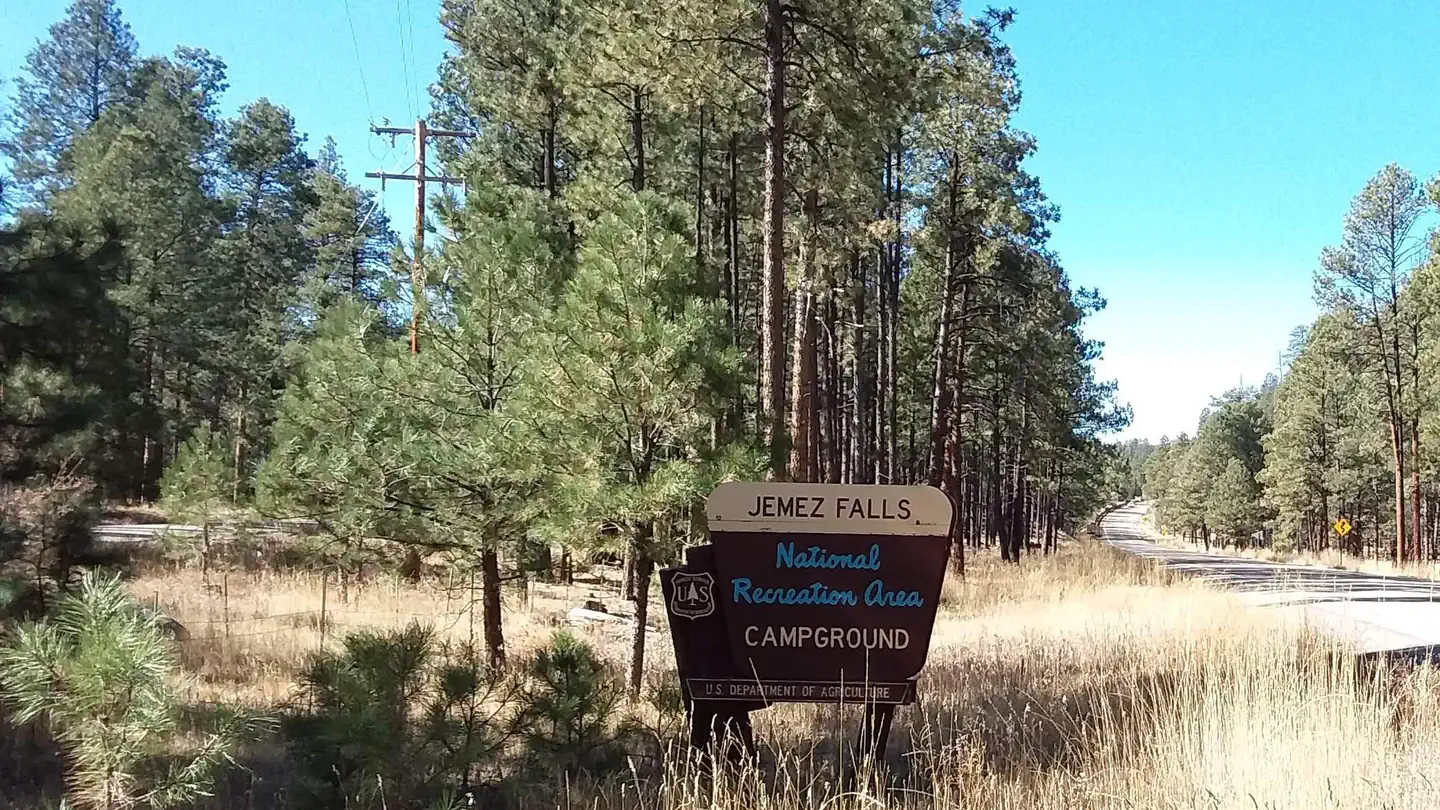
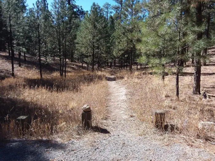
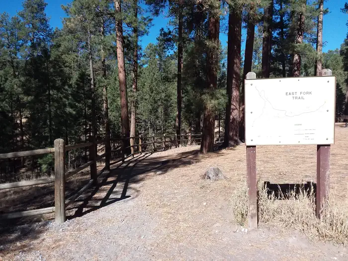
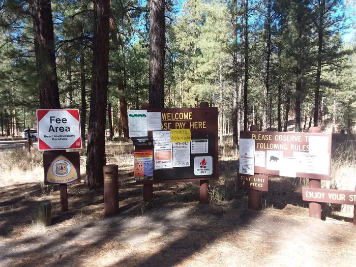
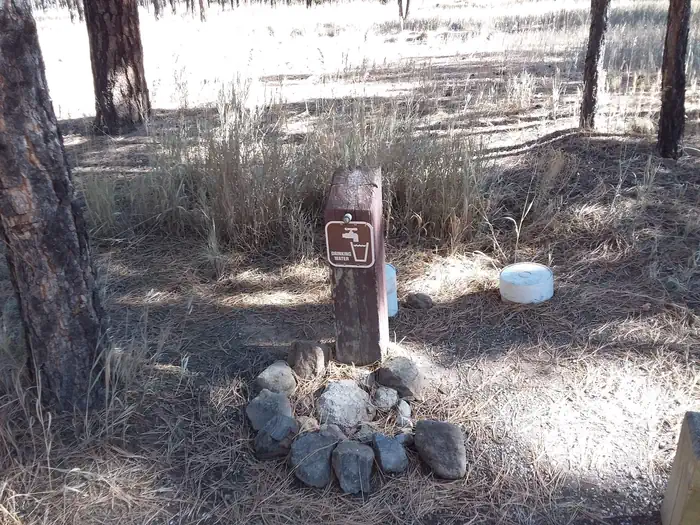
Jemez Falls trailhead — Conservation LegacyEast Fork Trail At Jemez Falls — Conservation LegacyJemez Falls information boards — Conservation LegacyJemez Falls drinking water spout — Conservation LegacyAmphitheater at Jemez Falls — Conservation Legacy
How to Get There
From Jemez Springs, New Mexico, travel 15 miles northeast on State Road 4 to Forest Road 133 South. Continue approximately 1.5 miles to the day-use area.
Download your route in advance via Gaia, Caltopo, or OSM-based apps.
Recommendations adapt to the current forecast + trail stats. Use them as a starting point — local conditions, your experience, and the time of day you start all matter.
Plan Your Visit to JEMEZ FALLS (NM) PICNIC AREA
Heading to JEMEZ FALLS (NM) PICNIC AREA? A few things to know before you go:
Reservations: popular sites fill up fast — check Recreation.gov 6 months in advance
Fees: day-use and camping fees vary; check current rates on the official park page
Trash & pack-out: follow Leave No Trace principles
Wildlife: store food in bear boxes where provided; never feed wildlife
Weather: the 5-day forecast above is updated every 6 hours; verify just before you go
Frequently Asked Questions
Do I need a reservation for JEMEZ FALLS (NM) PICNIC AREA?
No central reservation system listed for JEMEZ FALLS (NM) PICNIC AREA. Check the official page (https://www.recreation.gov/camping/campgrounds/232297) for the latest entry policy and availability.
How do I get to JEMEZ FALLS (NM) PICNIC AREA?
From Jemez Springs, New Mexico, travel 15 miles northeast on State Road 4 to Forest Road 133 South. Continue approximately 1.5 miles to the day-use area.