Sandia Park, New Mexico · Bernalillo County · Campground
Overview Doc Long Picnic Sites are named for Dr. William Henry Long. He was one of three forest pathologists in the USA who conducted pioneering research of tree diseases. Two picnic areas are available for reservation at this site. Doc Long, worked in New Mexico from 1910 through the 1930s. Doc lived in a cabin on the…
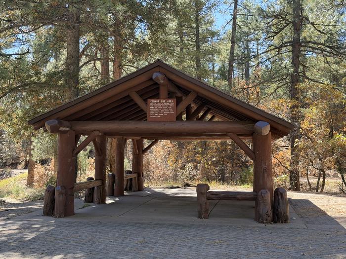
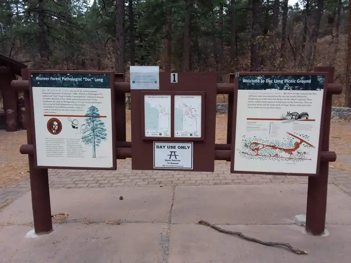
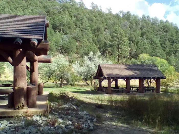
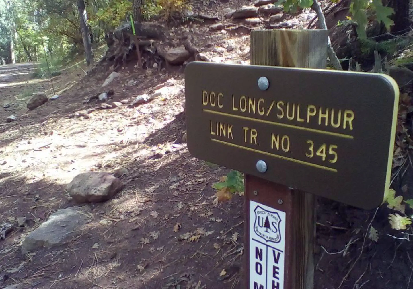
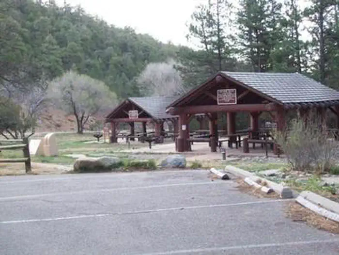
Overview Doc Long Picnic Sites are named for Dr. William Henry Long. He was one of three forest pathologists in the USA who conducted pioneering research of tree diseases. Two picnic areas are available for reservation at this site. Doc Long, worked in New Mexico from 1910 through the 1930s. Doc lived in a cabin on the site where the "furthest set", rustic log pavilion is now. The original pavilion and picnic ground were constructed in 1935 by the Civilian Conservation Corps, also known as the CCC. Their base camp was located a short distance down State Road 536 and is now owned by the Boy Scouts of America. Pavilions A and B were added later and are adjacent to the road next to the small playing field.The Civilian Conservation Corps has a rich history and lasting presence throughout the Sandia Mountains. In their honor, we ask that you take extra care to "leave no trace" when you visit. Please note that there is no overnight camping at Doc Long. Recreation There is access to hiking, mountain biking and horseback riding trails from Doc Long. Bill Spring Trail, Oso Corridor Trail, Faulty Trail and a short pathway leading to Sulphur and Cienega picnic sites are connected to Doc Long for easy access. The site's playing field can accommodate outdoor activities that will make your picnic a memorable one for everyone. Help your kids explore the ecosystem, and its related plants and animals through our Junior Ranger program. For more information about the Junior Ranger program, call the Sandia Ranger Station at (505) 281-3304. The surrounding forest and the majestic mountains provide a beautiful location for sightseeing, hiking, and outdoor recreation. Bring your camera.Facilities Please note: You must make two separate bookings for site A and B if you want to reserve both. Please verify the site you have reserved when checking out.Please note: there are no grills available at Doc Long Sites A and B, please bring your own grill if needed. Water and electricity, firewood/ch
Photos
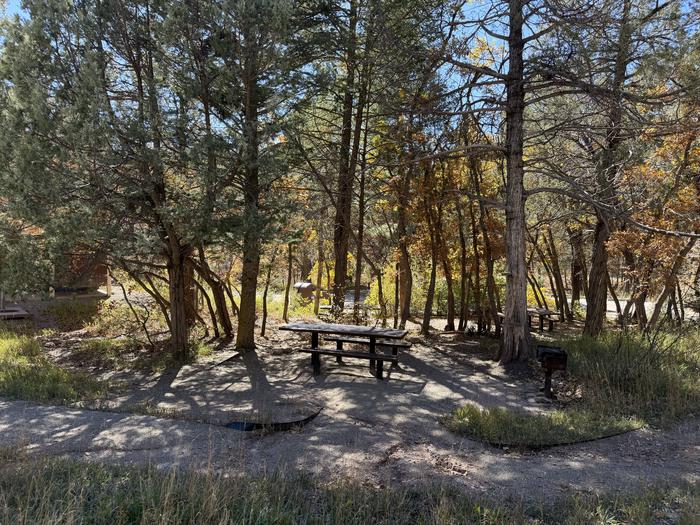
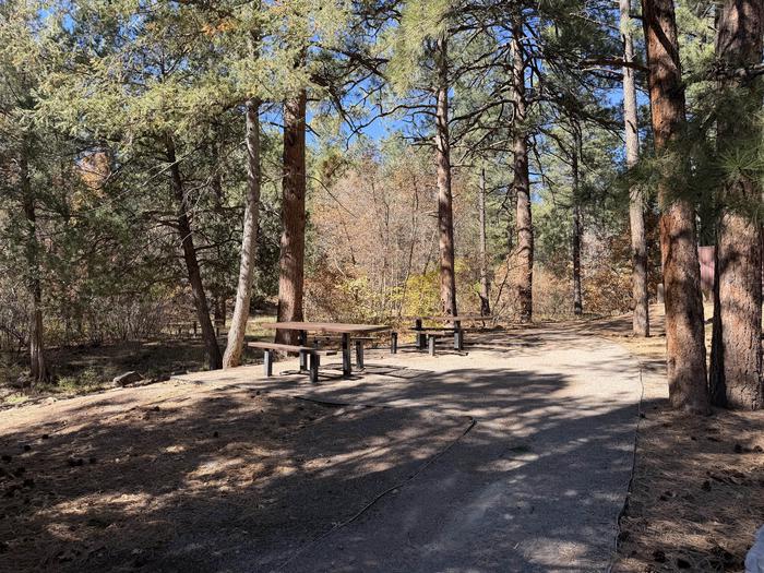
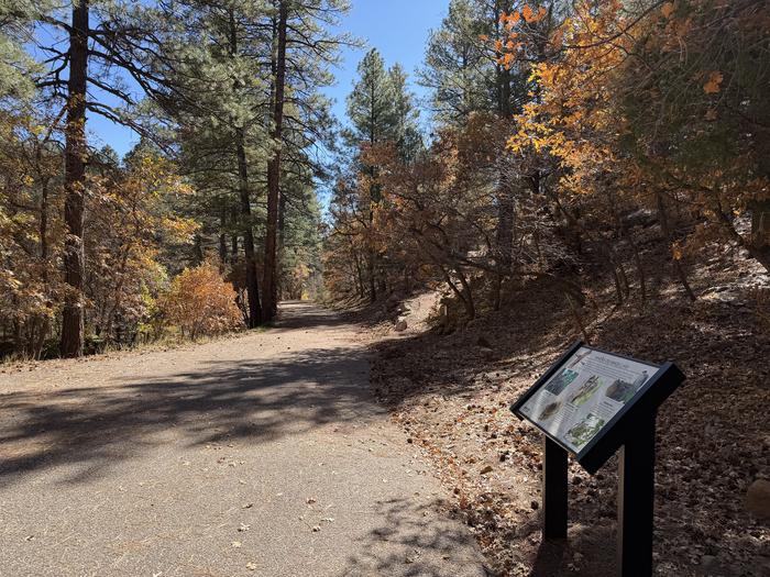
Picnic area in the trees — Russell Berman, USFSthis is a picture of picnic tables at Doc Long — Russell Berman, USFSDoc Long information board — Conservation Legacythis is a picture of the two pavilions as Doc Long — Nancy Peterson - USDA-FSInterpretive Trail — Russell Berman, USFSthis is a picture of a trail sign — USDA-FSthis is a picture of Doc Long Picnic sites A and B — USDA-FS
How to Get There
From Albuquerque drive east on I-40 to Exit 175, proceed north toward Cedar Crest, on State Highway 14 approximately 6 miles to Scenic Byway 536. Go just over a mile west on Scenic Byway 536 to the picnic site and look for signage on your left. Group sites are in the two covered areas adjacent to the road.
Download your route in advance via Gaia, Caltopo, or OSM-based apps.
Recommendations adapt to the current forecast + trail stats. Use them as a starting point — local conditions, your experience, and the time of day you start all matter.
Plan Your Visit to DOC LONG PICNIC SITES - A and B
Heading to DOC LONG PICNIC SITES - A and B? A few things to know before you go:
Reservations: popular sites fill up fast — check Recreation.gov 6 months in advance
Fees: day-use and camping fees vary; check current rates on the official park page
Trash & pack-out: follow Leave No Trace principles
Wildlife: store food in bear boxes where provided; never feed wildlife
Weather: the 5-day forecast above is updated every 6 hours; verify just before you go
Frequently Asked Questions
Do I need a reservation for DOC LONG PICNIC SITES - A and B?
No central reservation system listed for DOC LONG PICNIC SITES - A and B. Check the official page (https://www.recreation.gov/camping/campgrounds/234496) for the latest entry policy and availability.
How do I get to DOC LONG PICNIC SITES - A and B?
From Albuquerque drive east on I-40 to Exit 175, proceed north toward Cedar Crest, on State Highway 14 approximately 6 miles to Scenic Byway 536. Go just over a mile west on Scenic Byway 536 to the picnic site and look for signage on your left. Group sites are in the two covered areas adjacent to the road.