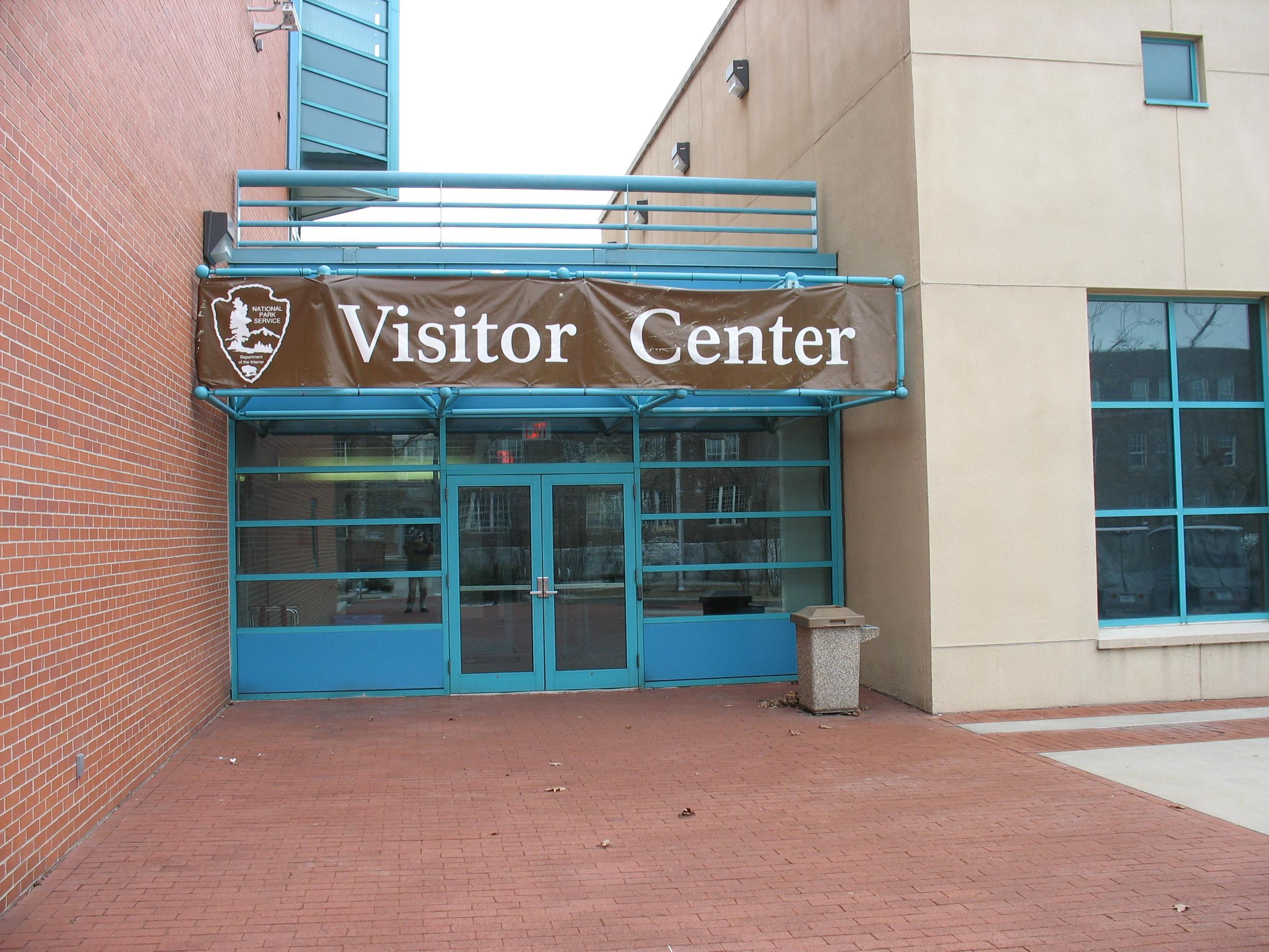
About Fort Wadsworth Visitor Center
Learn about one of the oldest military installations in the nation on the northeastern shore of Staten Island.
Staten Island, New Jersey · Richmond County · Facility
Learn about one of the oldest military installations in the nation on the northeastern shore of Staten Island.
Learn about one of the oldest military installations in the nation on the northeastern shore of Staten Island.

Driving Directions From the east: Take Verrazano - Narrows Bridge from Brooklyn. Stay in right lane and take the Bay Street exit to the park entrance. From the west: Take either the Goethals or Bayonne Bridge from New Jersey to the Staten Island Expressway (Interstate 278) Staten Island Expressway (Interstate 278) east to the Lily Pond Ave. exit. Turn left at the light and follow this road to Bay Street and the park entrance. Public Transportation Take the S51 from the Staten Island Ferry Terminal.
Driving directions (Google Maps) →Heading to Fort Wadsworth Visitor Center? A few things to know before you go:
 Photo: Tobias Mrzyk
New Jersey's longest mapped hiking trails, ranked by distance with notes on what makes each route worth the commitment.
 Photo: Holly Mandarich
Steep is hard. These are the ten New Jersey trails with the most total elevation gain — quad-burners earned by hard climbing.
 Photo: Joshua Earle
Ten gentle, well-marked New Jersey trails perfect for first-time hikers, families, or recovery days.
Photo: Joshua EarleNew Jersey's ten hardest hikes — expert difficulty, big mileage, or serious exposure. Reserved for experienced hikers.
Photo: Joshua EarleFederal parks and recreation areas in New Jersey ranked by what they actually offer hikers and campers, not just popularity.
 Photo: Sergei Akulich
New Jersey's best hikes to named waterfalls — from short family-friendly viewpoints to all-day cascade chasing.