Overview The Alosa Campsites are boat-in only sites located on the west (Pennsylvanian) shore of the Delaware River near Bushkill, Pennsylvania. The side of the river with the campsites will be on your right while traveling downstream. This section of the river offers unspoiled views, excellent boating, fishing, and bi…
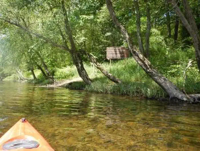
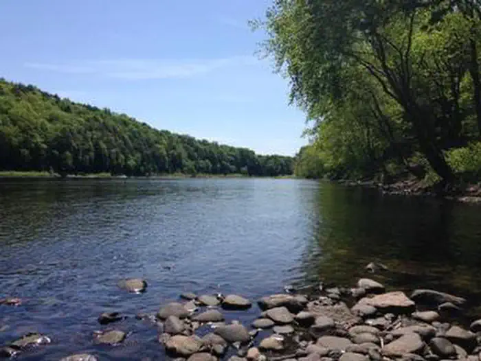
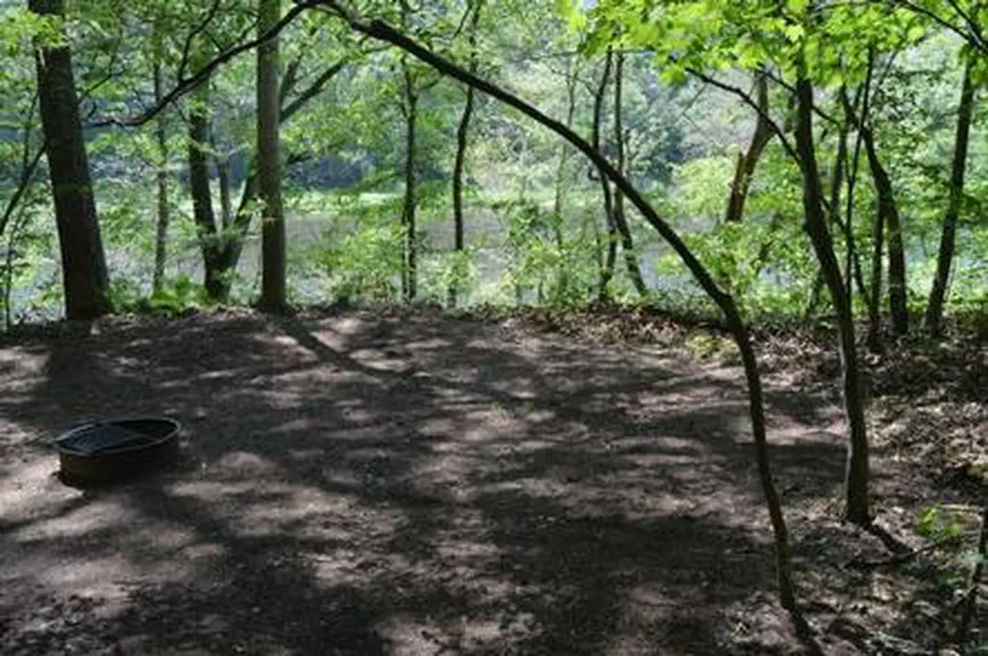
Overview The Alosa Campsites are boat-in only sites located on the west (Pennsylvanian) shore of the Delaware River near Bushkill, Pennsylvania. The side of the river with the campsites will be on your right while traveling downstream. This section of the river offers unspoiled views, excellent boating, fishing, and birding opportunities within the Delaware Water Gap National Recreation Area and the Middle Delaware National Scenic and Recreational River. These reservation-only campsites are available to boaters who are on a multi-day river trip. The Delaware Water Gap National Recreation Area also offers other boat in only campsites that are $16 and available on a first-come, first-served basis. For more information on the first-come, first-served campsites and river campsite regulations in general, visit: http://www.nps.gov/dewa/planyourvisit/river-camping.htmRecreation This part of the Delaware River is unspoiled as it travels through the rural landscape of the Delaware Water Gap National Recreation Area and the Middle Delaware National Scenic and Recreational River. A mixture of flat water and a few riffles make this section ideal for beginning paddlers and those seeking a relaxing trip. Fishing is permitted on the Delaware River during the appropriate state-specific seasons. Anglers must possess a valid PA or NJ fishing license. Hunting is not permitted in or near the campsites.Facilities The Alosa Campsites are composed of six individual reservation-only campsites. Five of the campsites hold a maximum capacity of six people per site (AL4,6,8,10,12), and one campsite holds a max capacity of 10 people (AL2). The site has three boat take-outs. Each take-out serves two campsites: the upstream most serving sites AL2 & AL4, middle serving AL6 & AL8, and the furthest downstream serving AL10 & AL12. There is a steep, 10-foot bank between the water's edge and the campsite locations; boats will need to be pulled out of the water. There is a large sign at the first boat t
Photos
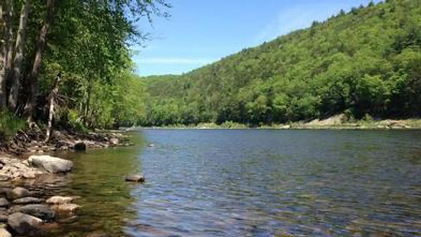
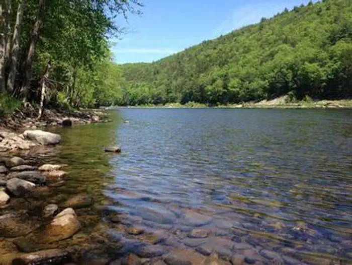
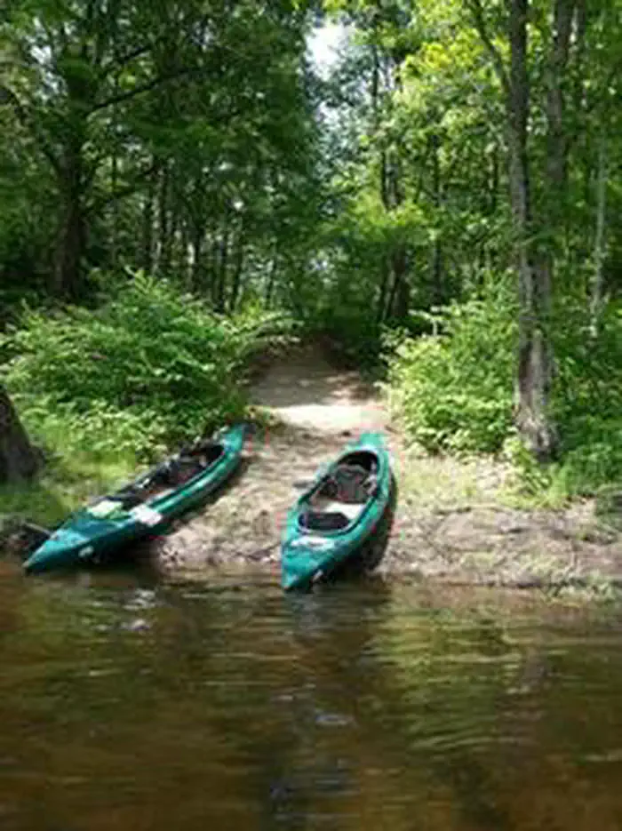
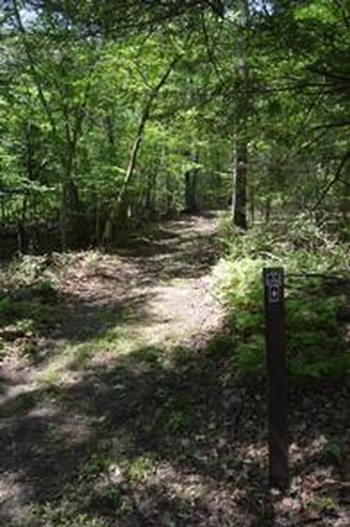
Greenery on the edge of river with a rocky shore — NPS PhotoRiver with greenery on the edge of the rocky shore — NPS PhotoTwo green kayaks on shore of river with trees in the background — NPS PhotoYellow kayak on river with trees in the background — NPS PhotoRiver view with greenery on the edge of the rocky shore — NPS PhotoAlosa Campsite with shade trees — NPS photoDirt camping area surrounded by trees — NPS Photo
How to Get There
Directions From The RiverThe Alosa Campsites are located on the right hand (west) shore of the Delaware River approximately 2.5 miles downstream of Bushkill Access, 1.2 Miles downstream of the Rivers Bend Group Campground (left/east shore of river), and 2,000 feet downstream of Turtle Island, formerly called "Sambo Island". The island is a small (300 x 700 ft.), closer to the right/west side of the river. For the safest route, stay to the left/east side of Turtle (Sambo) Island and in the main channel of the river. Once you reach the downstream side of the island, move to the right/west shoreline of the river and watch for the large Alosa Campsite sign (see photos for sign). The sign is approximately 1,000 ft. from the downstream end of Turtle Island, about 8 feet in from the river's edge. The large Alosa Campsite sign is also at the location of the 1st boat take-out, this take-out serves campsites R1 & R2. Approximately 175 ft. downstream of the first take-out is the 2nd take-out, which serves campsites R3 & R4, than approximately 240 ft. downstream is the 3rd and final take-out which serves campsites R5 & R6.
Download your route in advance via Gaia, Caltopo, or OSM-based apps.
Recommendations adapt to the current forecast + trail stats. Use them as a starting point — local conditions, your experience, and the time of day you start all matter.
Plan Your Visit to Alosa Campsites
Heading to Alosa Campsites? A few things to know before you go:
Reservations: popular sites fill up fast — check Recreation.gov 6 months in advance
Fees: day-use and camping fees vary; check current rates on the official park page
Trash & pack-out: follow Leave No Trace principles
Wildlife: store food in bear boxes where provided; never feed wildlife
Weather: the 5-day forecast above is updated every 6 hours; verify just before you go
Frequently Asked Questions
Do I need a reservation for Alosa Campsites?
No central reservation system listed for Alosa Campsites. Check the official page (https://www.recreation.gov/camping/campgrounds/251575) for the latest entry policy and availability.
How do I get to Alosa Campsites?
Directions From The RiverThe Alosa Campsites are located on the right hand (west) shore of the Delaware River approximately 2.5 miles downstream of Bushkill Access, 1.2 Miles downstream of the Rivers Bend Group Campground (left/east shore of river), and 2,000 feet downstream of Turtle Island, formerly called "Sambo Island". The island is a small (300 x 700 ft.), closer to the right/west side of th…
How do I contact Alosa Campsites?
You can reach the park at phone: (570) 426-2452 or email: [email protected].